Nook

Settlement in Westmorland South Lakeland

England

Nook

M6 northbound
M6 northbound Credit: Alpin Stewart

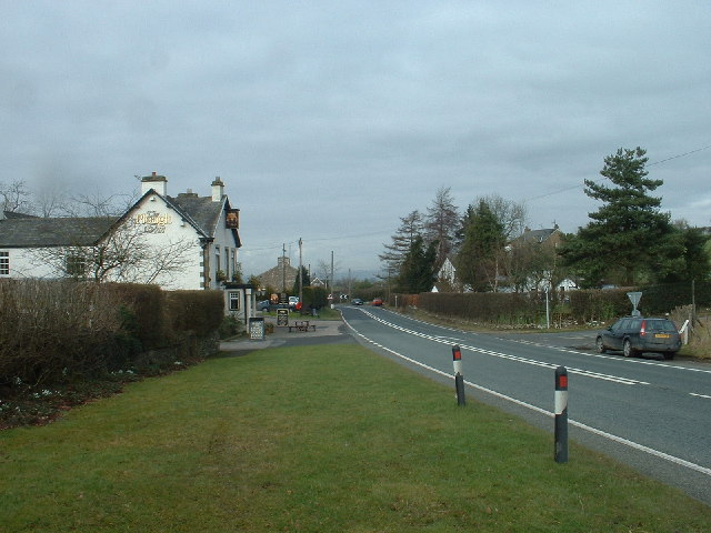
Nook is a small village located in the county of Westmorland, in the North West region of England. Situated in the picturesque Lake District National Park, Nook is known for its breathtaking natural beauty and tranquil surroundings.

With a population of around 300 residents, Nook is a close-knit community that prides itself on its friendly and welcoming atmosphere. The village is made up of a charming collection of traditional stone houses, which adds to its rustic charm and appeal.

Nook offers its residents and visitors a range of amenities and services. The village has a local pub, The Nook Inn, which serves as a popular gathering spot for locals and tourists alike. There is also a small convenience store that provides essential goods and services to the community.

The surrounding area of Nook is a paradise for outdoor enthusiasts. The village is surrounded by rolling hills, lush green valleys, and stunning lakes, making it a perfect destination for hiking, biking, and other outdoor activities. There are several well-maintained trails that offer breathtaking views of the countryside, including a popular route up to the nearby summit of Nook Fell.

Nook is also conveniently located near several popular tourist attractions. The nearby town of Kendal offers a range of shops, restaurants, and cultural experiences, while the stunning Lake Windermere is just a short drive away, offering opportunities for boating, sailing, and other water sports.

Overall, Nook is a charming village that offers a peaceful and idyllic lifestyle, surrounded by the natural beauty of the Lake District National Park.

If you have any feedback on the listing, please let us know in the comments section below.
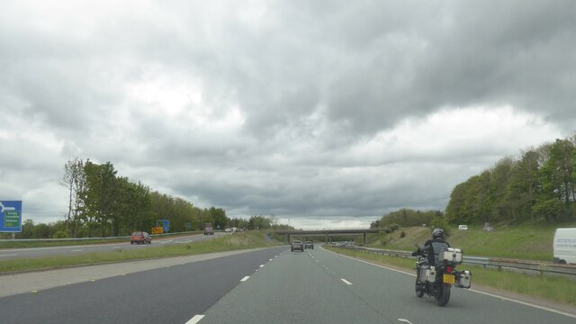
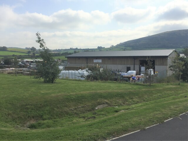
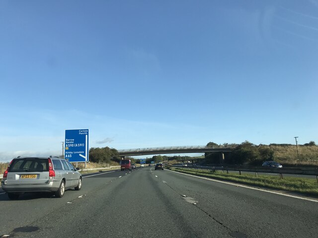
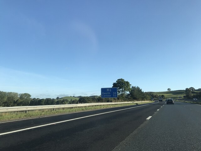
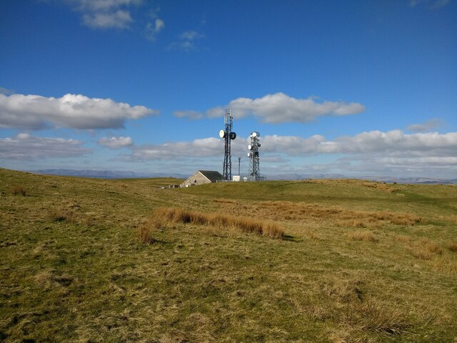
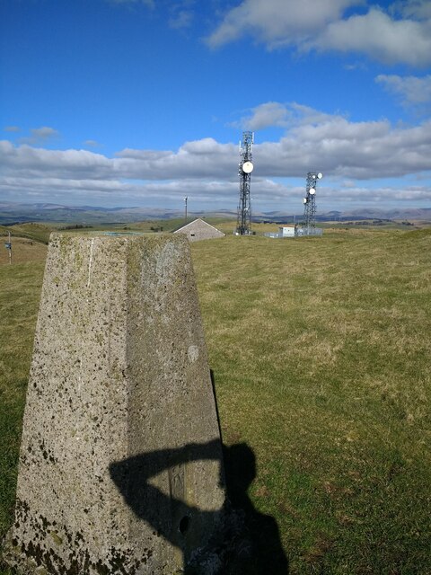
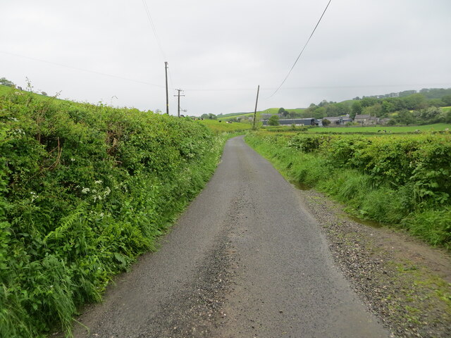
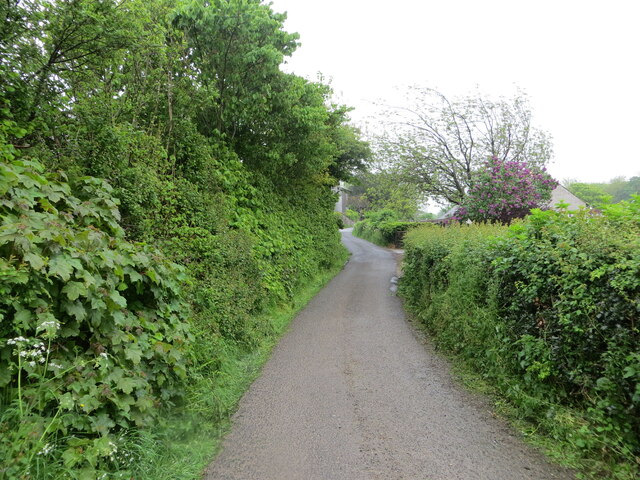
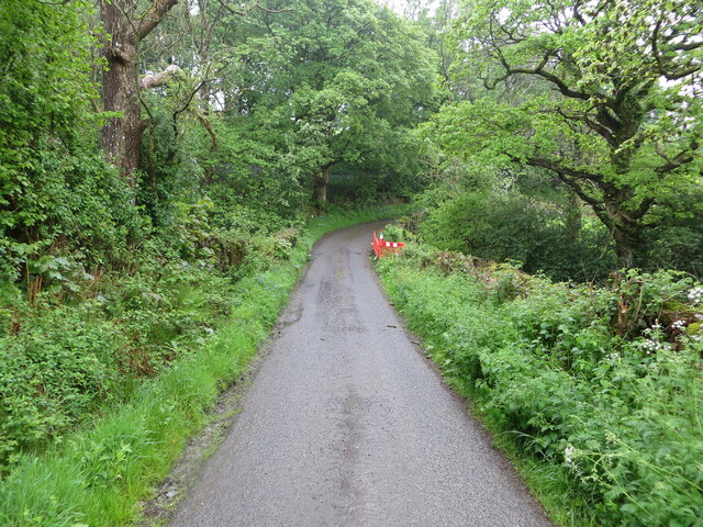
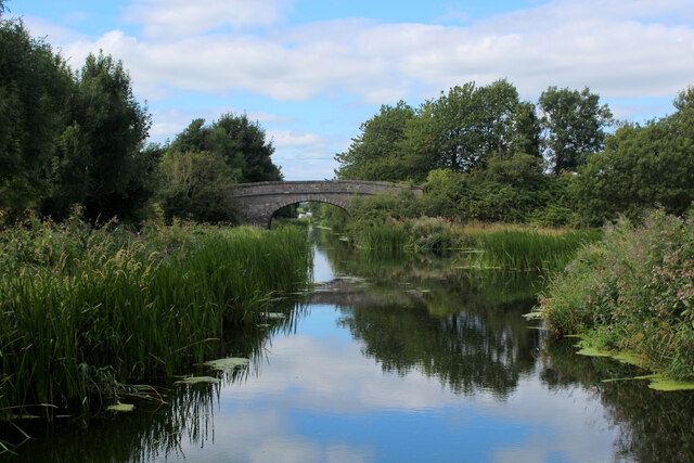
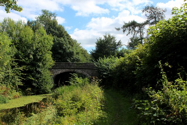
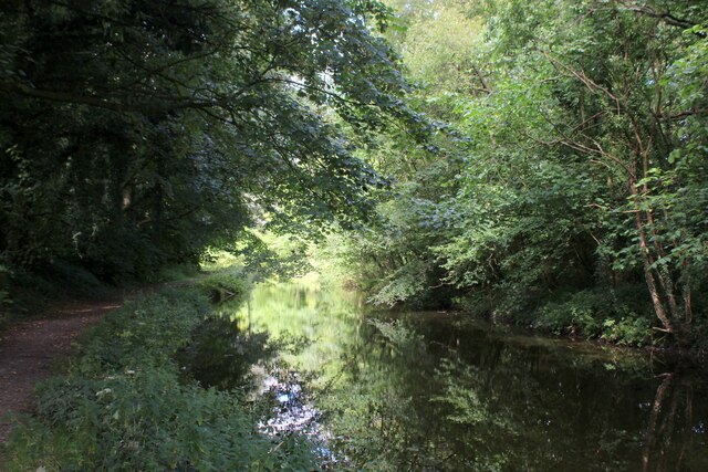
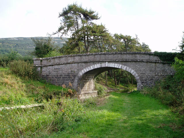
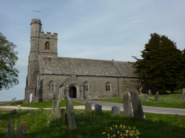
Nook Images

Images are sourced within 2km of 54.230802/-2.69643 or Grid Reference SD5481. Thanks to Geograph Open Source API. All images are credited.

M6 northbound
M6 northbound
A65 crossing M6 motorway
Wynnstay Stores, Kendal Farm and garden supplies here at the Rural Auction Centre south of Kendal
Wynnstay Stores, Kendal
Farm and garden supplies here at the Rural Auction Centre south of Kendal
Farleton Fell A few houses and farms below at Farleton
Farleton Fell
A few houses and farms below at Farleton
Junction 36 signage  - M6 northbound
Junction 36 signage - M6 northbound
Signage  - M6 northbound
Signage - M6 northbound
View over farmland to Farleton Fell from the A6070
Farleton Knott Limestone hill in south-east Cumbria
Farleton Knott
Limestone hill in south-east Cumbria
Scout Hill masts
Scout Hill masts
Scout Hill masts from trig
Bridleway leading off Puddlemire Lane Track heading north under the shadows of Newbiggin Crags, passing through Whin Yeats Dairy Farm
Bridleway leading off Puddlemire Lane
Track heading north under the shadows of Newbiggin Crags, passing through Whin Yeats Dairy Farm
Puddlemire Lane
Puddlemire Lane
Hedge-lined minor road approaching Yew Tree Farm Looking north-eastward.
Hedge-lined minor road approaching Yew Tree Farm
Looking north-eastward.
Hedge-lined minor road near to Black Yeats Looking south-westward.
Hedge-lined minor road near to Black Yeats
Looking south-westward.
Minor road at Hellgill Bridge Looking southward. The bridge parapet awaits repair.
Minor road at Hellgill Bridge
Looking southward. The bridge parapet awaits repair.
Lancaster Canal at Millness The canal is no longer navigable at this juncture, since the construction of the M6 motorway.
It is, however, a fine place to walk and admire the diverse array of vegetation.
Lancaster Canal at Millness
The canal is no longer navigable at this juncture, since the construction of the M6 motorway. It is, however, a fine place to walk and admire the diverse array of vegetation.
The A65 crosses the Lancaster Canal at Millness Hill Bridge No. 163 on the Lancaster Canal, which is no longer navigable at this point, although it does display a wide range of water vegetation - much of it floating on the surface.
The A65 crosses the Lancaster Canal at Millness Hill
Bridge No. 163 on the Lancaster Canal, which is no longer navigable at this point, although it does display a wide range of water vegetation - much of it floating on the surface.
Lancaster Canal at Millness Hill No longer navigable along this stretch since the construction of the M6 motorway.
Lancaster Canal at Millness Hill
No longer navigable along this stretch since the construction of the M6 motorway.
Show me another place!

Nook is located at Grid Ref: SD5481 (Lat: 54.230802, Lng: -2.69643)

Administrative County: Cumbria

District: South Lakeland

Police Authority: Cumbria

What 3 Words

///screeches.talked.scarf. Near Milnthorpe, Cumbria

Nearby Locations

Nook

Related Wikis

Lupton, Cumbria

Lupton is a linear village and civil parish in the South Lakeland district of Cumbria, England, along the main A65 road north west of Kirkby Lonsdale,...

Preston Patrick

Preston Patrick is a village and civil parish in South Lakeland, Cumbria, England. It has junction 36 of the M6 motorway in its south west corner and extends...

Farleton, Cumbria

Farleton is a village and former civil parish, now in the parish of Beetham, in the South Lakeland local government district, Cumbria, England. In 1931...

St Patrick's Church, Preston Patrick

St Patrick's Church is the parish church of Preston Patrick, Cumbria, England. It is an active Anglican church, one of eight parish churches served by...

Nearby Amenities

Located within 500m of 54.230802,-2.69643
Bus Stop
Bus: yes
Public Transport: platform
Shelter: yes
Lat/Long: 54.2309859/-2.6960968
Post Box
Drive Through: no
Post Box Type: wall
Ref: LA6 43
Lat/Long: 54.2309292/-2.6945122
Barrier: stile
Lat/Long: 54.2310204/-2.697322
Barrier: cattle_grid
Lat/Long: 54.2298416/-2.6945244
Give Way
Direction: backward
Lat/Long: 54.2326749/-2.7016552
Give Way
Direction: forward
Lat/Long: 54.2313931/-2.698263
Give Way
Direction: backward
Lat/Long: 54.2293007/-2.6987777
Give Way
Direction: backward
Lat/Long: 54.2293511/-2.6986326
Give Way
Direction: forward
Lat/Long: 54.2292927/-2.6985956
Give Way
Direction: forward
Lat/Long: 54.2310623/-2.6963636
Give Way
Direction: backward
Lat/Long: 54.2310896/-2.6968651
Give Way
Direction: forward
Lat/Long: 54.2310475/-2.6954609
Give Way
Direction: backward
Lat/Long: 54.2309139/-2.6946057
Give Way
Direction: forward
Lat/Long: 54.2305886/-2.6942413
Barrier: cattle_grid
Lat/Long: 54.2305282/-2.6943872
Nook
Place: hamlet
Lat/Long: 54.2308281/-2.6969266
Give Way
Direction: backward
Lat/Long: 54.2282841/-2.6915499
Give Way
Direction: backward
Lat/Long: 54.2279942/-2.691275
Power: pole
Lat/Long: 54.234728/-2.6976203
Power: pole
Lat/Long: 54.2339158/-2.6963528
Power: pole
Lat/Long: 54.2332106/-2.6952686
Power: pole
Lat/Long: 54.23203/-2.6943486
Power: pole
Lat/Long: 54.2312922/-2.6937952
Power: pole
Lat/Long: 54.230551/-2.6932419
Power: pole
Lat/Long: 54.2297929/-2.6926597
Power: pole
Lat/Long: 54.2312641/-2.6946098
Power: pole
Lat/Long: 54.2312375/-2.6953706
Power: pole
Lat/Long: 54.2311576/-2.6966749
Pole Type: termination
Power: pole
Lat/Long: 54.2308932/-2.6979442
Power: pole
Lat/Long: 54.2283087/-2.690795
Power: pole
Lat/Long: 54.2348286/-2.6989259
Pole Type: termination
Power: pole
Lat/Long: 54.2343373/-2.6993755
Generator Method: photovoltaic
Generator Orientation: south
Generator Output Electricity: yes
Generator Solar Modules: 8
Generator Source: solar
Generator Type: solar_photovoltaic_panel
Location: roof
Power: generator
Lat/Long: 54.2312838/-2.6943704
Generator Method: photovoltaic
Generator Orientation: south
Generator Output Electricity: yes
Generator Solar Modules: 8
Generator Source: solar
Generator Type: solar_photovoltaic_panel
Location: roof
Power: generator
Lat/Long: 54.2312883/-2.6942359
Generator Method: photovoltaic
Generator Orientation: south
Generator Output Electricity: yes
Generator Solar Modules: 8
Generator Source: solar
Generator Type: solar_photovoltaic_panel
Location: roof
Power: generator
Lat/Long: 54.2311332/-2.695066
Turning Circle
Lat/Long: 54.2340756/-2.6997703
Sarah Bank
Place: locality
Lat/Long: 54.2321551/-2.6968853
The data included in this document is from www.openstreetmap.org. The data is made available under ODbL.

Have you been to Nook?

Leave your review of Nook below (or comments, questions and feedback).