Selston
Civil Parish in Nottinghamshire Ashfield
England
Selston
Selston is a civil parish located in the county of Nottinghamshire, England. Situated approximately 15 miles northwest of Nottingham city centre, Selston is a semi-rural area with a population of around 7,000 people.
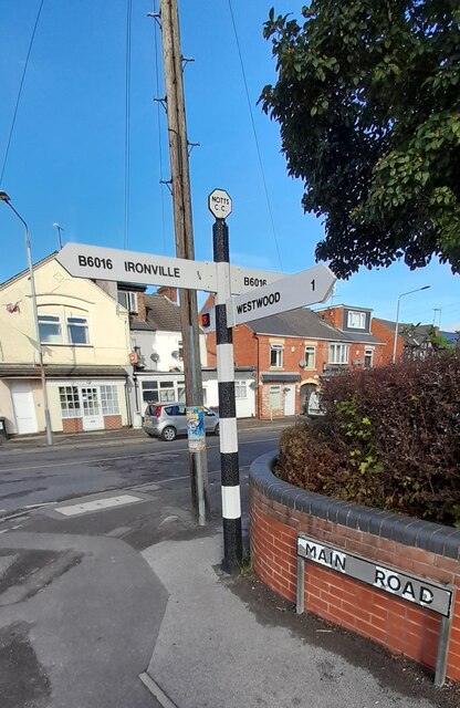
The parish encompasses several small villages and hamlets, including Selston itself, Westwood, Underwood, and Jacksdale. The area is characterized by its picturesque countryside, rolling hills, and woodlands, making it a popular destination for nature enthusiasts and outdoor activities.
Selston has a rich history, with evidence of human habitation dating back to the Roman era. The village grew in prominence during the Industrial Revolution, as coal mining became a major industry in the area. Today, remnants of the mining heritage can still be seen in the form of preserved colliery buildings and landmarks.
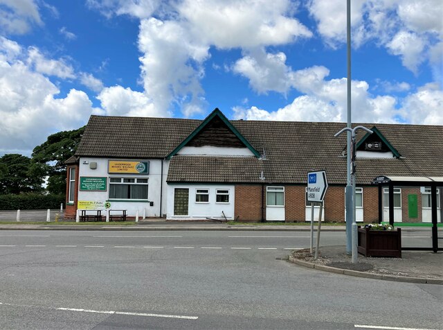
The parish offers a range of amenities and services to its residents, including shops, schools, healthcare facilities, and recreational spaces. There are also several local pubs, restaurants, and community centers that provide social spaces for the community.
Transportation in Selston is primarily reliant on private vehicles, with limited public transportation options. However, the area is well-connected to nearby towns and cities through road networks, making it easily accessible for commuters.
Overall, Selston, Nottinghamshire is a charming civil parish that combines its scenic countryside with a rich history, providing residents with a peaceful and picturesque place to call home.
If you have any feedback on the listing, please let us know in the comments section below.
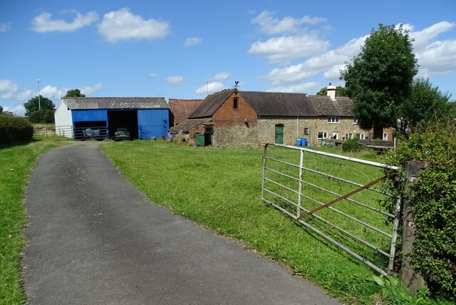
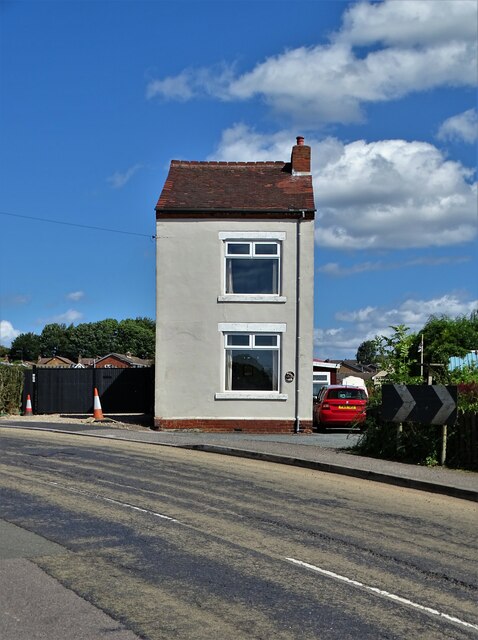
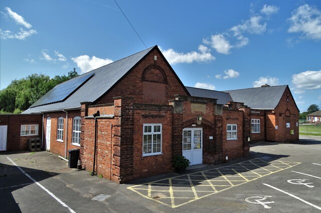
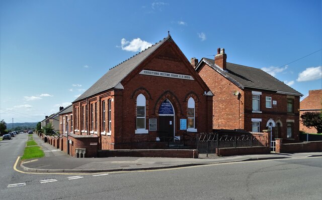
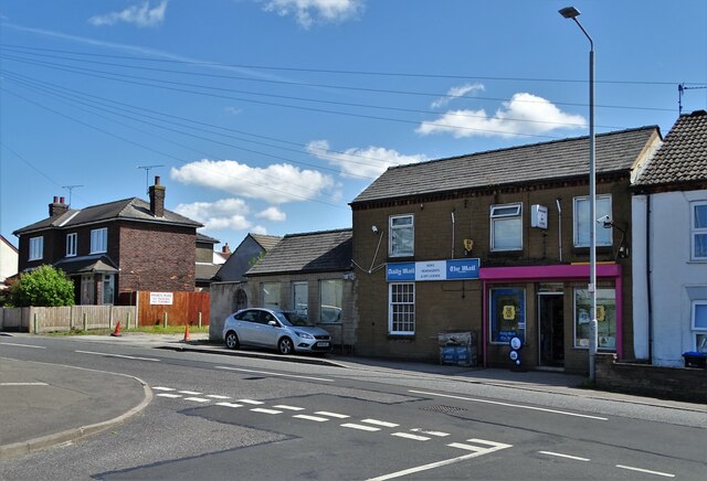
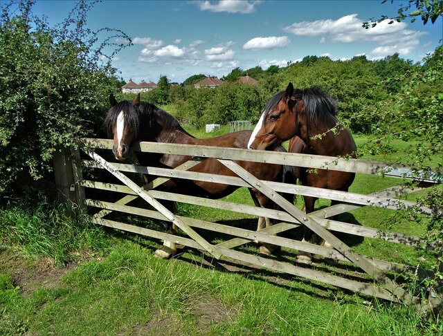
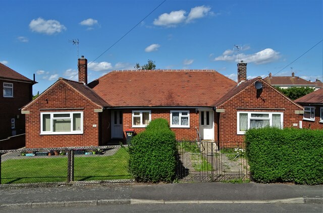
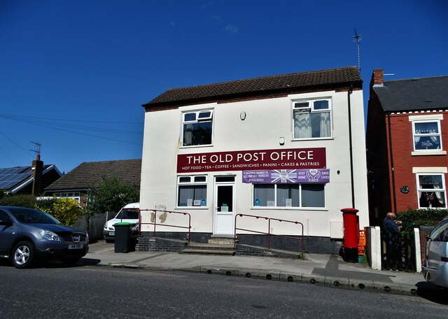
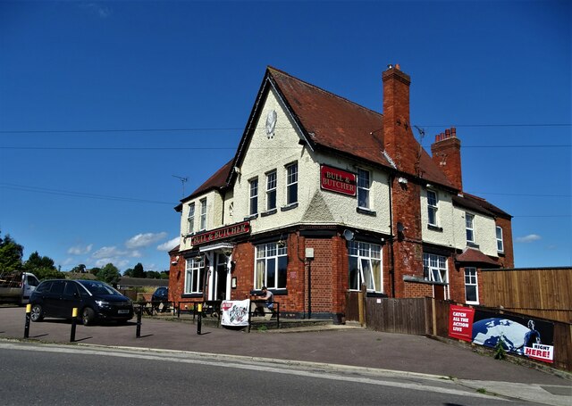
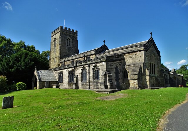
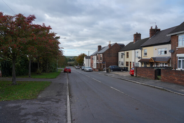
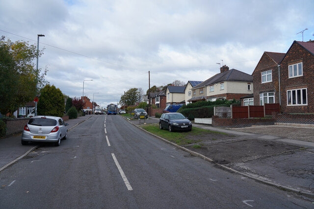
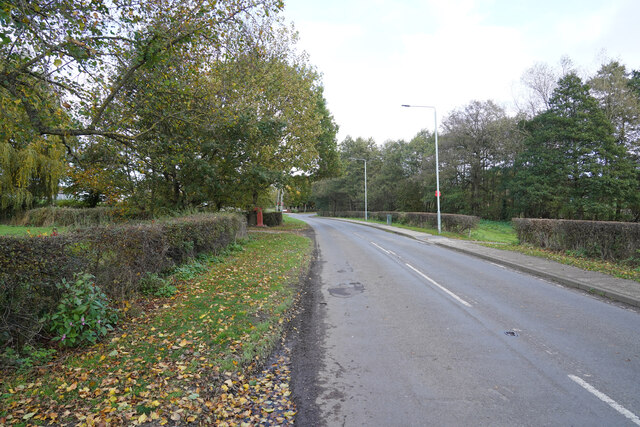
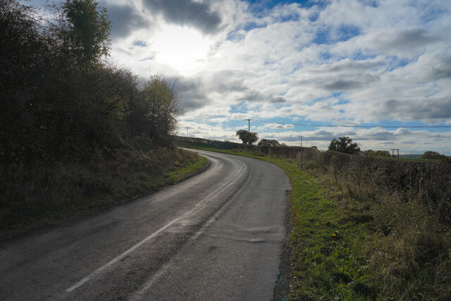
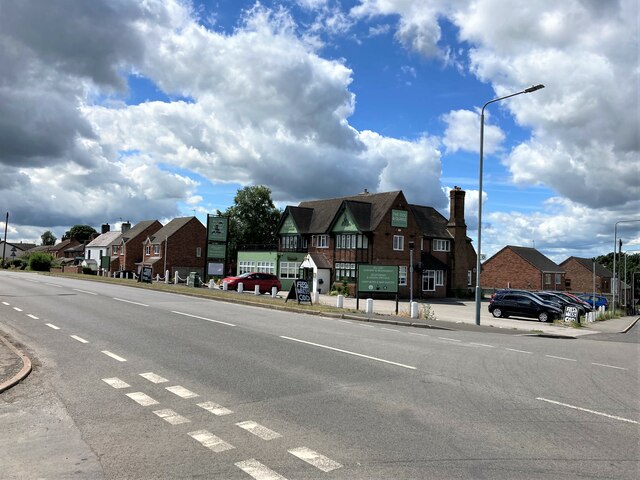
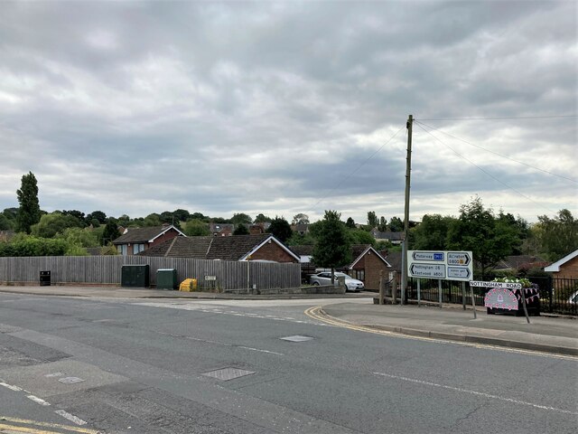
Selston Images
Images are sourced within 2km of 53.064676/-1.312266 or Grid Reference SK4652. Thanks to Geograph Open Source API. All images are credited.
Selston is located at Grid Ref: SK4652 (Lat: 53.064676, Lng: -1.312266)
Administrative County: Nottinghamshire
District: Ashfield
Police Authority: Nottinghamshire
What 3 Words
///relations.liquid.passes. Near Pinxton, Derbyshire
Nearby Locations
Related Wikis

Selston High School
Selston High School is a mixed secondary school that educates students aged 11–16. It is located in Selston, Nottinghamshire, England. The headteacher...
Selston
Selston is a large village and civil parish in the Ashfield District of Nottinghamshire, England. It is situated 12 miles (19.3 km) north-northwest of...

Selston F.C.
Selston F.C. is a football club based in Selston, Nottinghamshire. They are currently members of the United Counties League Division One and play at the...

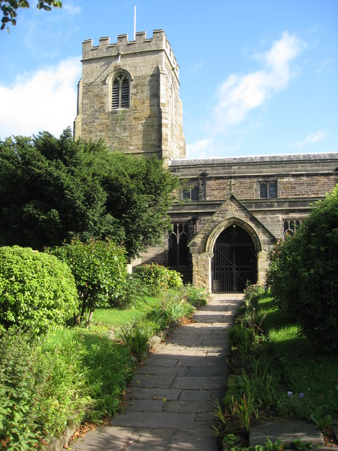
St Helen's Church, Selston
St. Helen's Church, Selston is a parish church in the Church of England in Selston, Nottinghamshire. The church is Grade II* listed by the Department for...
Related Videos
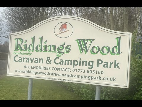
Drive to and around Riddings Wood Holiday Park
Are trip to Riddings Wood Holiday Park Bullock Lane Riddings Derbyshire DE55 4BP With a drive around the park starts at ...

Walking roman in jacksdale
With Pops and Nick.
Nearby Amenities
Located within 500m of 53.064676,-1.312266Have you been to Selston?
Leave your review of Selston below (or comments, questions and feedback).