Dove Green
Settlement in Nottinghamshire Ashfield
England
Dove Green
Dove Green is a small village located in the county of Nottinghamshire, in the East Midlands region of England. Situated approximately 15 miles north of Nottingham city, Dove Green is nestled in a picturesque rural setting, surrounded by lush green fields and rolling hills.
The village is home to a close-knit community of around 300 residents, offering a peaceful and tranquil atmosphere for its inhabitants. Characterized by its charming cottages and traditional architecture, Dove Green exudes a quaint and timeless appeal.
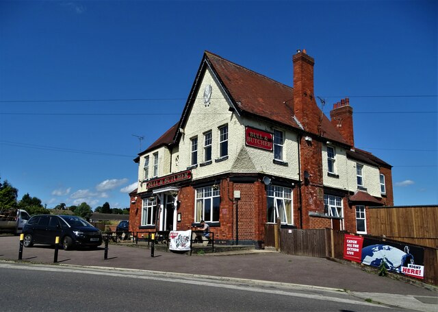
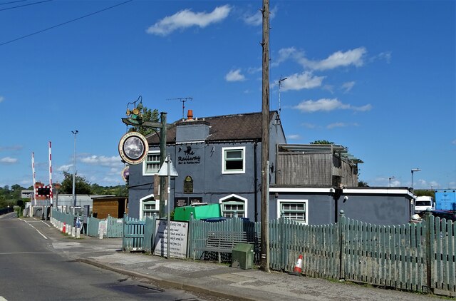
The village boasts a range of amenities and services to cater to the needs of its residents. These include a local pub, a village hall, and a primary school, providing education for the younger members of the community. Additionally, Dove Green offers easy access to nearby towns and cities, ensuring that residents have access to a wider range of facilities and employment opportunities.
The surrounding countryside provides ample opportunities for outdoor activities and exploration. The nearby Sherwood Forest, famous for its association with the legendary Robin Hood, offers scenic walking trails and woodland adventures. The area is also dotted with historical landmarks and attractions, such as the stunning Clumber Park and the grand Welbeck Abbey.
Overall, Dove Green presents a harmonious blend of rural beauty, community spirit, and access to modern amenities. Its idyllic location and close proximity to Nottingham make it an attractive place to reside for those seeking a peaceful retreat without sacrificing convenience.
If you have any feedback on the listing, please let us know in the comments section below.
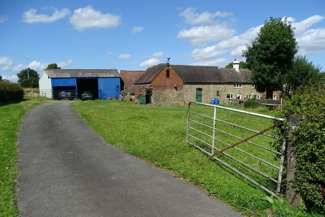
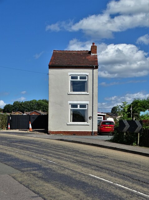
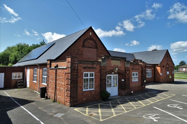
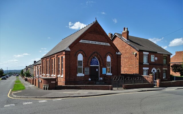
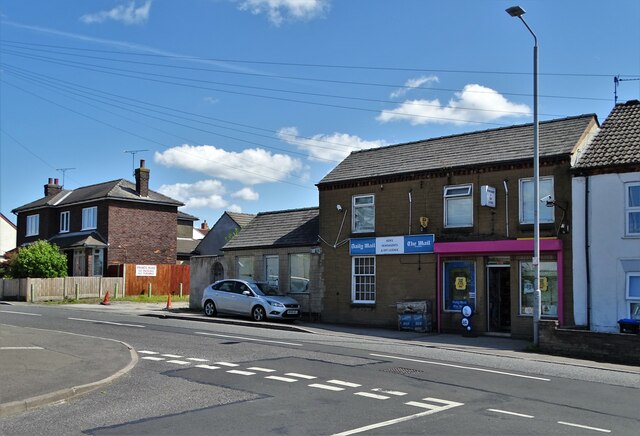
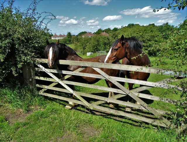
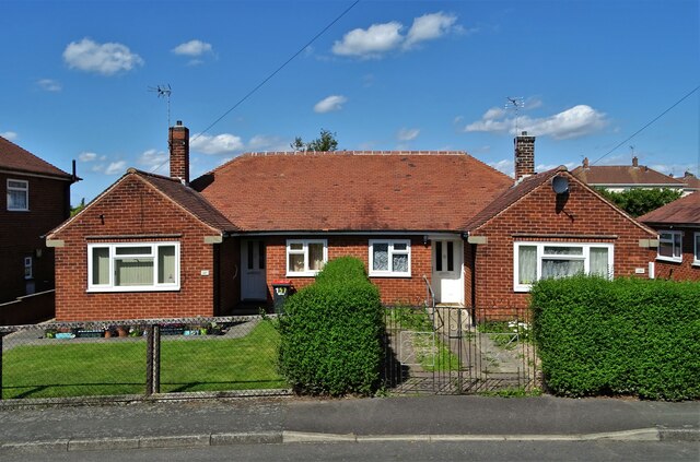
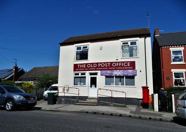
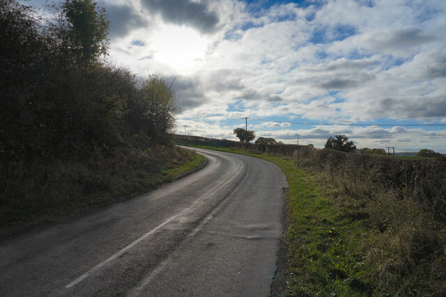
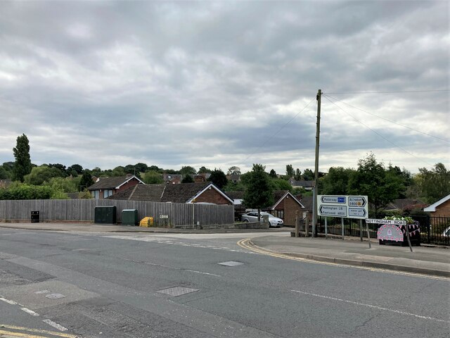
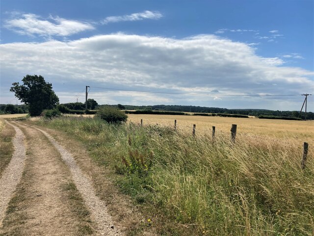
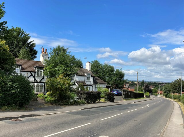
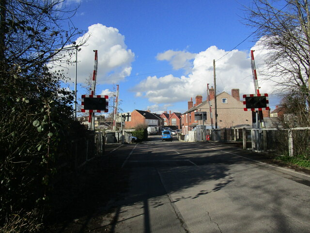
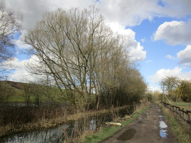
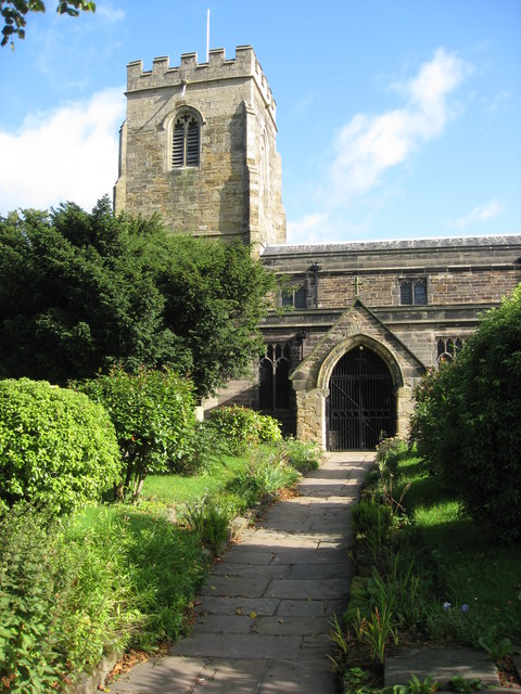
Dove Green Images
Images are sourced within 2km of 53.069978/-1.311928 or Grid Reference SK4652. Thanks to Geograph Open Source API. All images are credited.
Dove Green is located at Grid Ref: SK4652 (Lat: 53.069978, Lng: -1.311928)
Administrative County: Nottinghamshire
District: Ashfield
Police Authority: Nottinghamshire
What 3 Words
///shock.buddy.rave. Near Pinxton, Derbyshire
Nearby Locations
Related Wikis

Selston High School
Selston High School is a mixed secondary school that educates students aged 11–16. It is located in Selston, Nottinghamshire, England. The headteacher...

Selston F.C.
Selston F.C. is a football club based in Selston, Nottinghamshire. They are currently members of the United Counties League Division One and play at the...

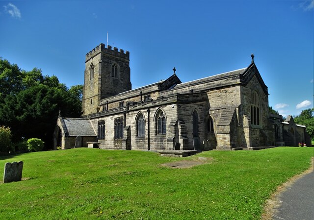
St Helen's Church, Selston
St. Helen's Church, Selston is a parish church in the Church of England in Selston, Nottinghamshire. The church is Grade II* listed by the Department for...
Selston
Selston is a large village and civil parish in the Ashfield District of Nottinghamshire, England. It is situated 12 miles (19.3 km) north-northwest of...
Related Videos
Drive to and around Riddings Wood Holiday Park
Are trip to Riddings Wood Holiday Park Bullock Lane Riddings Derbyshire DE55 4BP With a drive around the park starts at ...
Walking roman in jacksdale
With Pops and Nick.

Nearby Amenities
Located within 500m of 53.069978,-1.311928Have you been to Dove Green?
Leave your review of Dove Green below (or comments, questions and feedback).