Allen's Green
Settlement in Nottinghamshire Ashfield
England
Allen's Green
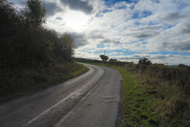
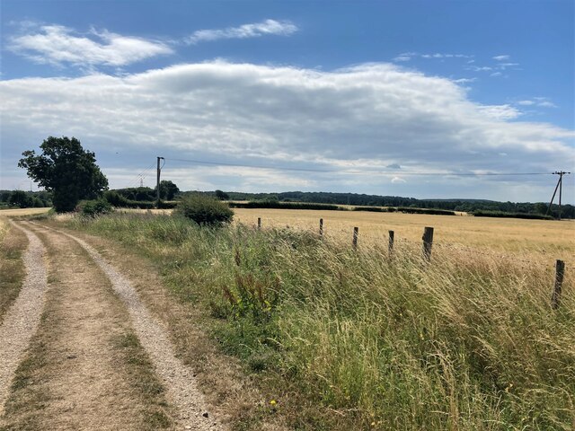
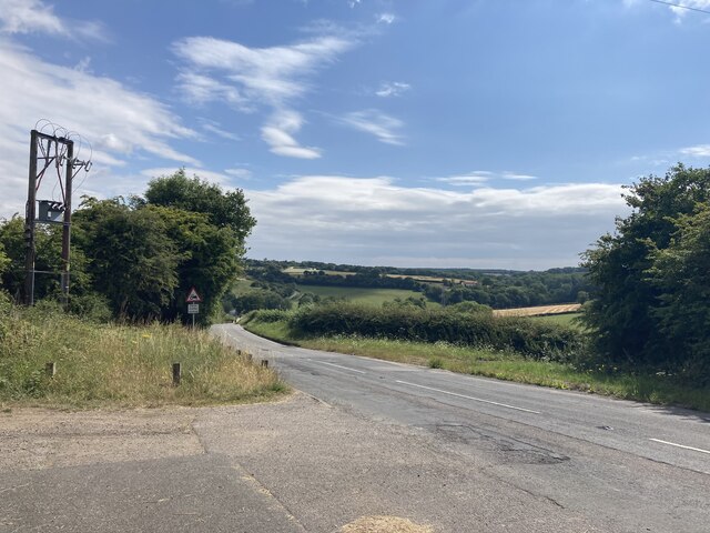
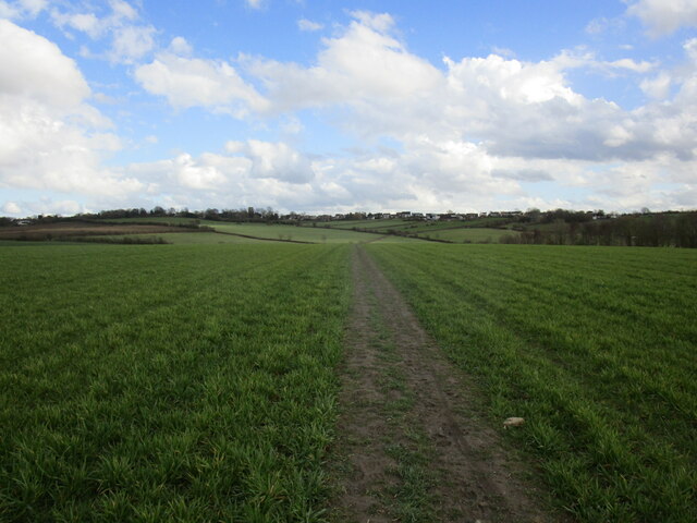
Allen's Green is a small village located in the county of Nottinghamshire, England. Situated approximately 12 miles north of Nottingham city, the village lies within the district of Bassetlaw, near the border with South Yorkshire. It is nestled amidst the picturesque countryside, surrounded by rolling farmland and peaceful rural landscapes.
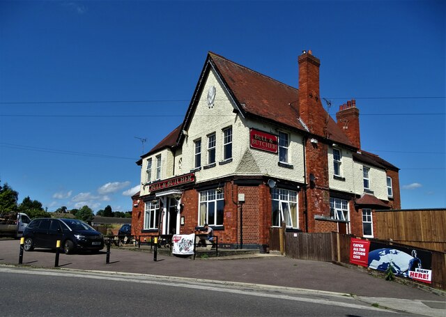
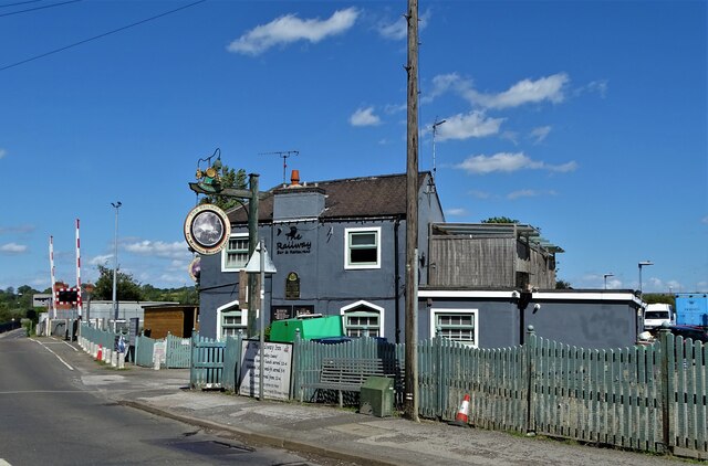
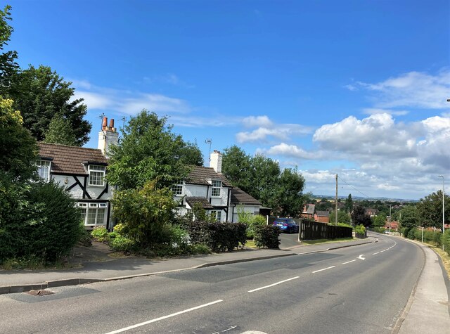
With a population of around 200 residents, Allen's Green is known for its tranquility and close-knit community. The village primarily consists of traditional English cottages and houses, giving it a charming and timeless feel. The village center features a small local shop, providing essential amenities for residents, while a nearby pub serves as a social hub for villagers and visitors alike.
Nature enthusiasts will appreciate the village's proximity to various outdoor attractions. The nearby Sherwood Forest, famous for its association with the legendary Robin Hood, offers beautiful woodland walks and a chance to explore the myth and history surrounding the area. For those seeking more active pursuits, the nearby Clumber Park provides ample opportunities for cycling, picnicking, and enjoying the stunning natural scenery.
Despite its rural setting, Allen's Green benefits from good transport links. The A1 road is just a short drive away, connecting the village to major cities such as Sheffield and Leeds. The nearby Retford train station offers regular services to Nottingham, London, and other destinations.
Overall, Allen's Green offers a peaceful and idyllic lifestyle for its residents, combining the beauty of the countryside with easy access to urban amenities and attractions.
If you have any feedback on the listing, please let us know in the comments section below.
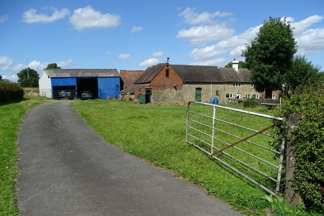
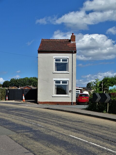
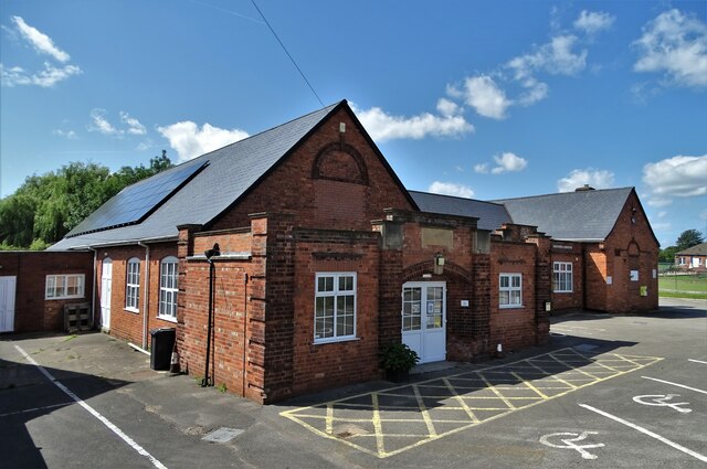
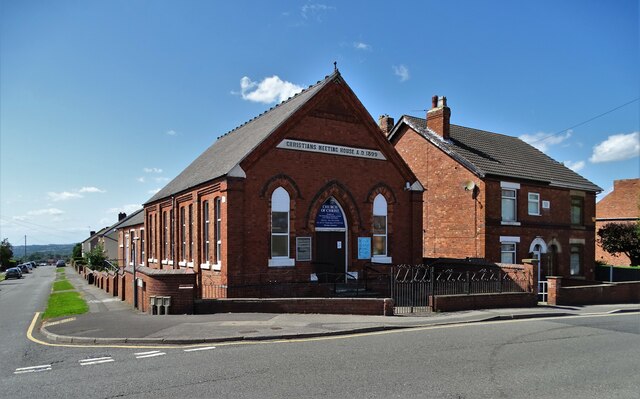
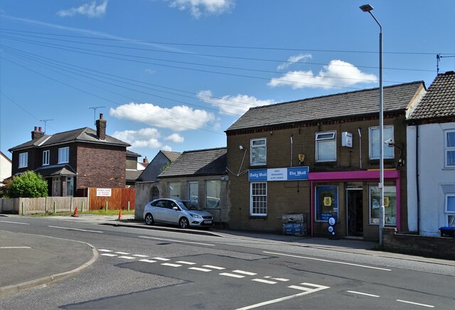
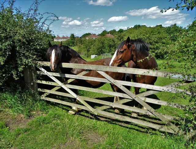
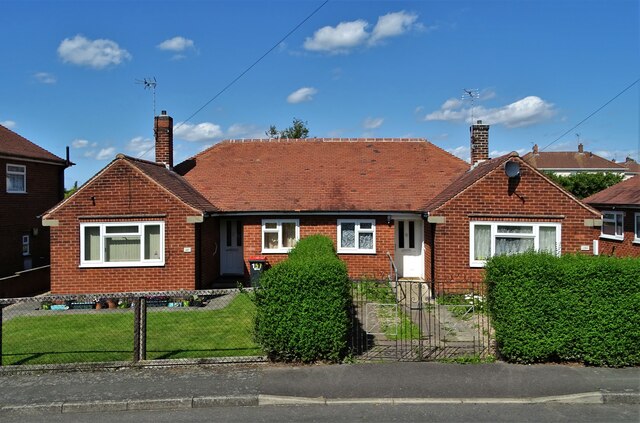
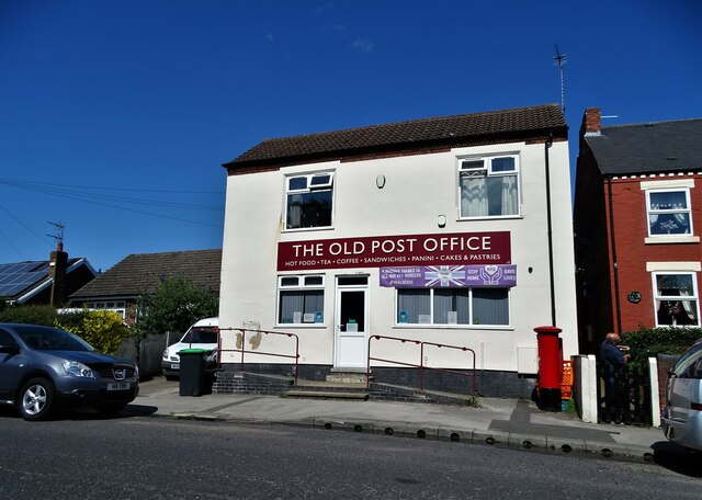
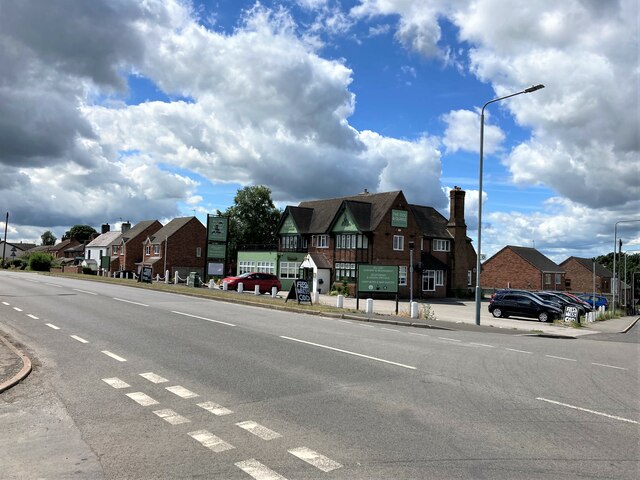
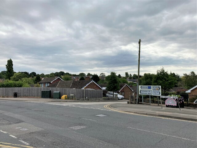
Allen's Green Images
Images are sourced within 2km of 53.069465/-1.3039872 or Grid Reference SK4652. Thanks to Geograph Open Source API. All images are credited.
Allen's Green is located at Grid Ref: SK4652 (Lat: 53.069465, Lng: -1.3039872)
Administrative County: Nottinghamshire
District: Ashfield
Police Authority: Nottinghamshire
What 3 Words
///remotest.possibly.teardrop. Near Pinxton, Derbyshire
Nearby Locations
Related Wikis
Selston
Selston is a large village and civil parish in the Ashfield District of Nottinghamshire, England. It is situated 12 miles (19.3 km) north-northwest of...

Selston F.C.
Selston F.C. is a football club based in Selston, Nottinghamshire. They are currently members of the United Counties League Division One and play at the...

Selston High School
Selston High School is a mixed secondary school that educates students aged 11–16. It is located in Selston, Nottinghamshire, England. The headteacher...

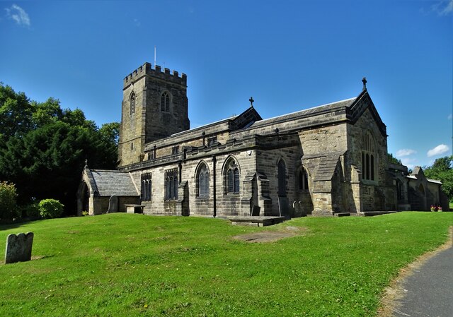
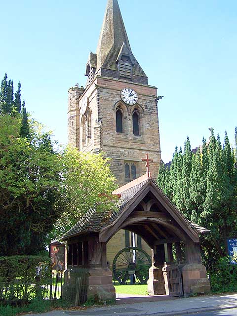
St Helen's Church, Selston
St. Helen's Church, Selston is a parish church in the Church of England in Selston, Nottinghamshire. The church is Grade II* listed by the Department for...
Pinxton and Selston railway station
Pinxton and Selston railway station served the villages of Pinxton, Derbyshire and Selston, Nottinghamshire. It was located on the Midland Railway's Mansfield...
Church of St Michael and All Angels, Underwood
The Church of St Michael and All Angels, Underwood is a parish church in the Church of England in Underwood, Nottinghamshire. The church is Grade II listed...
Pinxton South railway station
Pinxton South railway station was a former railway station that served Pinxton, Derbyshire; the station site lies within the parish of Selston, Nottinghamshire...

Felley
Felley is a civil parish in the Ashfield district, in Nottinghamshire, England, located between Hucknall and Sutton-in-Ashfield. According to the 2001...
Nearby Amenities
Located within 500m of 53.069465,-1.3039872Have you been to Allen's Green?
Leave your review of Allen's Green below (or comments, questions and feedback).