Allardice
Settlement in Kincardineshire
Scotland
Allardice
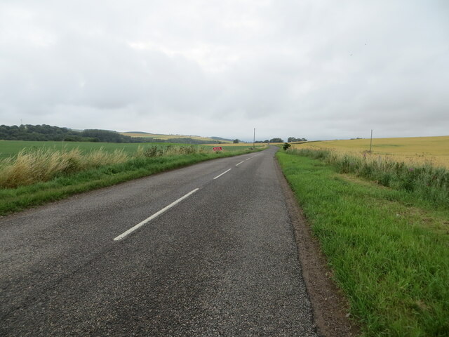
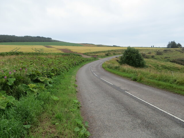
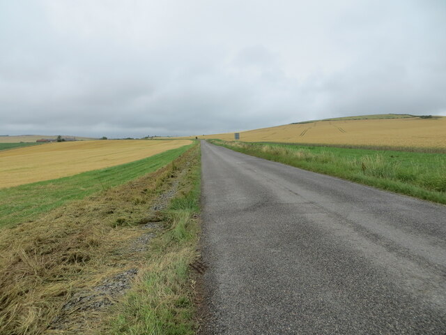
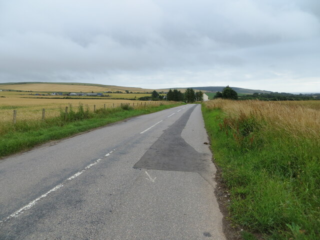
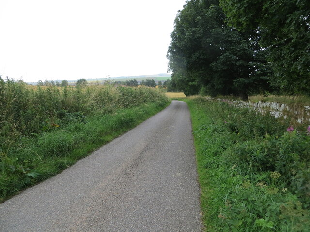
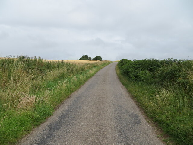
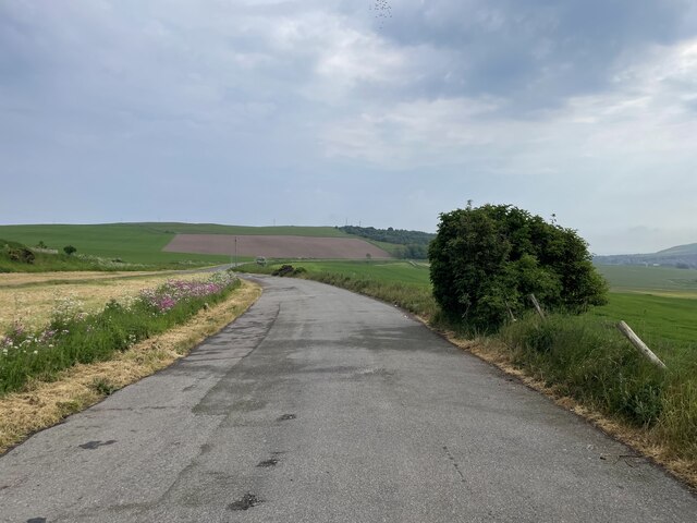
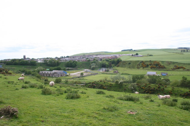
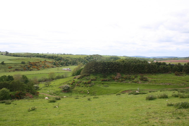
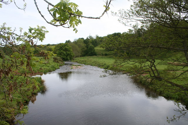
Allardice is a small village located in the historic county of Kincardineshire, Scotland. Situated in the northeastern part of the country, it lies about 5 miles south of Stonehaven and 20 miles south of Aberdeen. The village is nestled amidst picturesque Scottish countryside, with rolling hills and lush green landscapes.
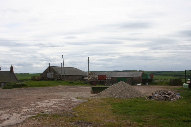
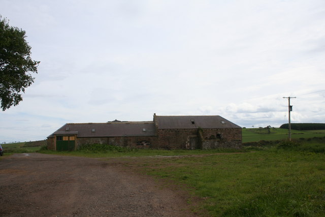
Allardice has a rich history, dating back many centuries. It was originally established as a farming community, with agriculture being a significant part of the local economy. The village is named after the Allardice family, who were prominent landowners in the area.
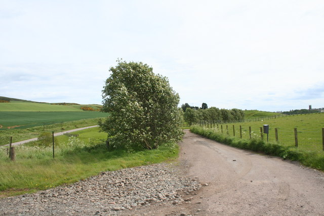
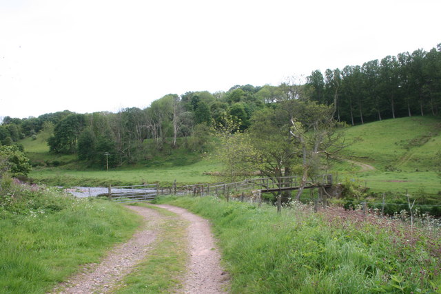
The architectural charm of Allardice is evident through its traditional stone houses and buildings, which add to the village's quaint and rustic atmosphere. The nearby countryside offers opportunities for outdoor activities such as hiking, cycling, and nature walks.
Despite its small size, Allardice is well-connected to neighboring towns and cities. The village has good road links, including the A90, which provides easy access to Aberdeen and other major centers. Additionally, public transportation options, such as buses and trains, are available nearby.
While Allardice may not have a plethora of amenities within its boundaries, residents can find essential services and amenities in the nearby towns. Stonehaven, in particular, offers a range of facilities including shops, schools, healthcare services, and recreational activities.
Allardice is a peaceful and idyllic village, offering a tranquil lifestyle amidst stunning Scottish scenery. Its historical significance, natural beauty, and close proximity to urban centers make it an attractive place to live or visit for those seeking a balance between rural charm and modern conveniences.
If you have any feedback on the listing, please let us know in the comments section below.
Allardice Images
Images are sourced within 2km of 56.862527/-2.2974386 or Grid Reference NO8174. Thanks to Geograph Open Source API. All images are credited.
Allardice is located at Grid Ref: NO8174 (Lat: 56.862527, Lng: -2.2974386)
Unitary Authority: Aberdeenshire
Police Authority: North East
What 3 Words
///succeed.formal.populate. Near Inverbervie, Aberdeenshire
Nearby Locations
Related Wikis

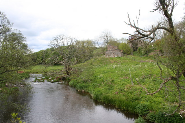
Allardice Castle
Allardice Castle (also spelled Allardyce) is a sixteenth-century manor house in Kincardineshire, Scotland. It is approximately 1.5 kilometres north-west...

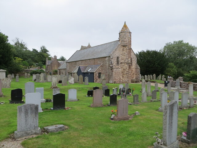
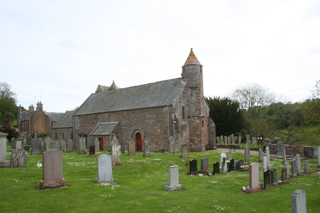
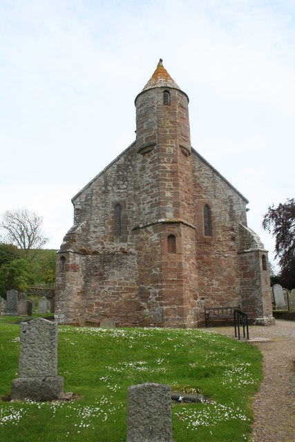
Arbuthnott Parish Kirk
Arbuthnott Parish Kirk is a church in Arbuthnott, Aberdeenshire, Scotland. Now a Category A listed building, it was built in at least the 13th century...

Arbuthnott
Arbuthnott (Scottish Gaelic: Obar Bhuadhnait, "mouth of the Buadhnat") is a hamlet and parish in the Howe of the Mearns, a low-lying agricultural district...

Inverbervie Town House
Inverbervie Town House is a municipal structure in Church Street in Inverbervie, Aberdeenshire, Scotland. The structure, which is primarily used as a public...
Nearby Amenities
Located within 500m of 56.862527,-2.2974386Have you been to Allardice?
Leave your review of Allardice below (or comments, questions and feedback).