Priest's Park
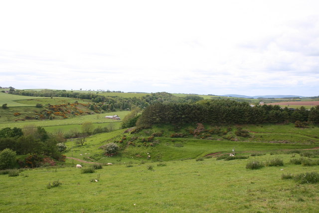
Downs, Moorland in Kincardineshire
Scotland
Priest's Park

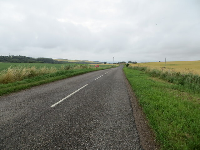
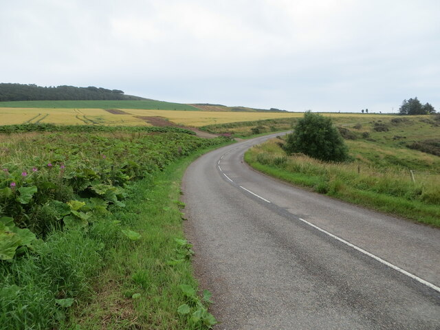
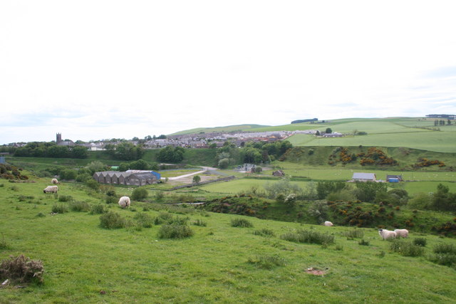
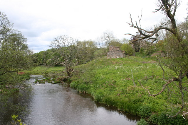
Priest's Park is a scenic natural area located in Kincardineshire, Scotland. Spread across the downs and moorland, it covers a vast expanse of approximately 100 acres. The park is known for its stunning beauty and diverse flora and fauna.
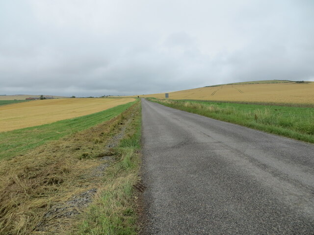
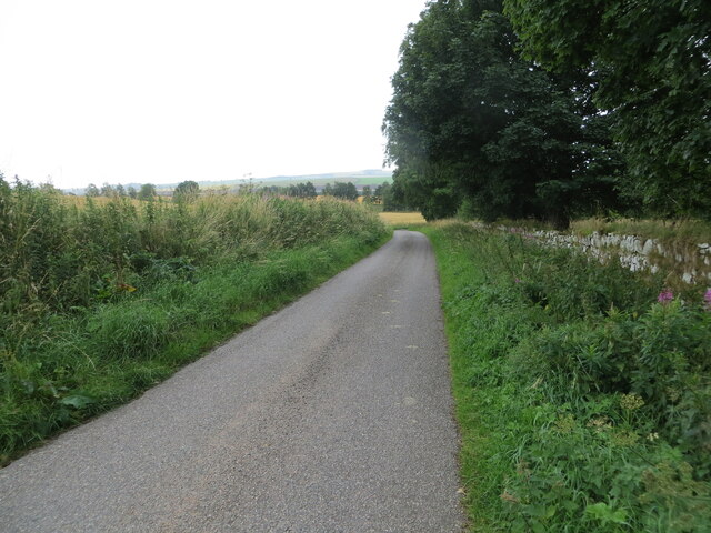
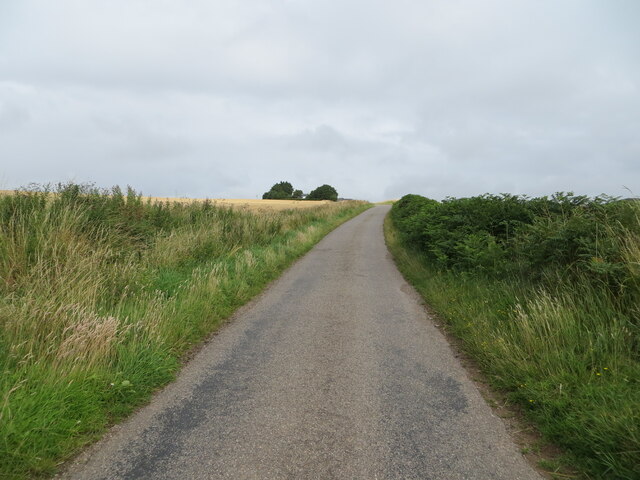
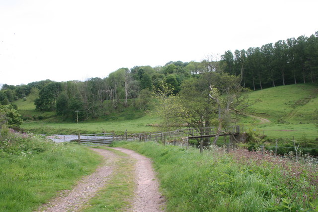
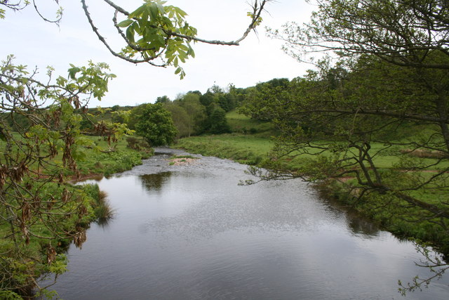
The downs in Priest's Park feature rolling hills covered with lush green grass, interspersed with patches of heather and wildflowers. The undulating landscape provides breathtaking panoramic views of the surrounding countryside, making it a popular spot for nature enthusiasts and photographers.
The moorland section of the park is characterized by its rugged and wild terrain. It is covered with heather and scattered with rocky outcrops, creating a dramatic and picturesque landscape. This area is home to a variety of bird species, including curlews, lapwings, and red grouse, making it an ideal destination for birdwatchers.
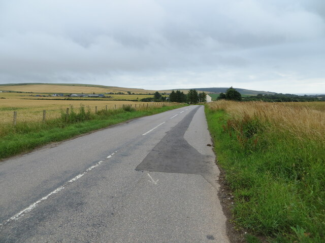
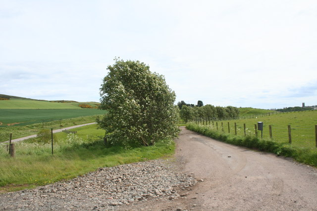
Priest's Park offers a range of walking trails, allowing visitors to explore the diverse habitats and experience the tranquility of the natural surroundings. The park also provides opportunities for outdoor activities such as picnicking, wildlife spotting, and photography.
The park is well-maintained and has facilities such as parking areas and information boards to assist visitors. It is easily accessible by car and is located near the town of Stonehaven.
Overall, Priest's Park in Kincardineshire is a beautiful natural area that showcases the charm and diversity of the Scottish countryside, providing visitors with a peaceful and immersive nature experience.
If you have any feedback on the listing, please let us know in the comments section below.
Priest's Park Images
Images are sourced within 2km of 56.86035/-2.3020788 or Grid Reference NO8174. Thanks to Geograph Open Source API. All images are credited.
Priest's Park is located at Grid Ref: NO8174 (Lat: 56.86035, Lng: -2.3020788)
Unitary Authority: Aberdeenshire
Police Authority: North East
What 3 Words
///groomed.adventure.lashed. Near Inverbervie, Aberdeenshire
Nearby Locations
Related Wikis

Allardice Castle
Allardice Castle (also spelled Allardyce) is a sixteenth-century manor house in Kincardineshire, Scotland. It is approximately 1.5 kilometres north-west...

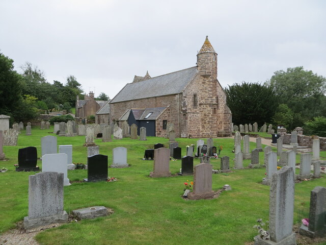
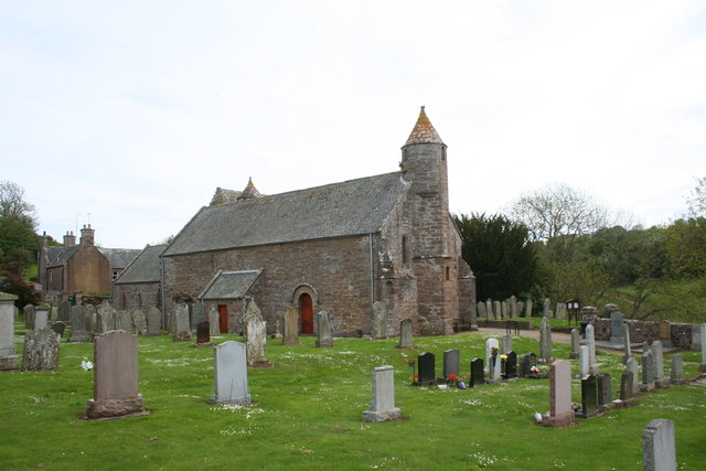
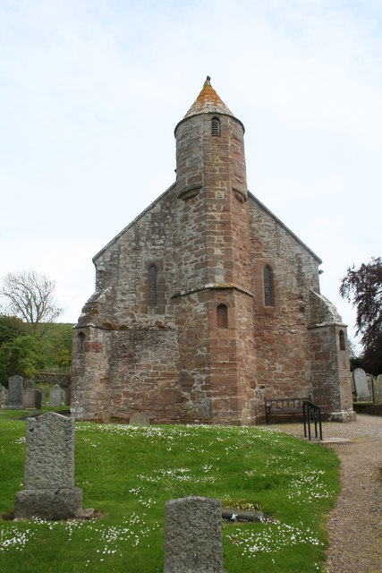
Arbuthnott Parish Kirk
Arbuthnott Parish Kirk is a church in Arbuthnott, Aberdeenshire, Scotland. Now a Category A listed building, it was built in at least the 13th century...

Arbuthnott
Arbuthnott (Scottish Gaelic: Obar Bhuadhnait, "mouth of the Buadhnat") is a hamlet and parish in the Howe of the Mearns, a low-lying agricultural district...

Inverbervie Town House
Inverbervie Town House is a municipal structure in Church Street in Inverbervie, Aberdeenshire, Scotland. The structure, which is primarily used as a public...
Nearby Amenities
Located within 500m of 56.86035,-2.3020788Have you been to Priest's Park?
Leave your review of Priest's Park below (or comments, questions and feedback).