All Saints' South Elmham
Settlement in Suffolk East Suffolk
England
All Saints' South Elmham
All Saints' South Elmham, located in the county of Suffolk, England, is a small village with a rich history and charm. Nestled in the beautiful Waveney Valley, this rural settlement offers a peaceful and idyllic setting for its residents and visitors.
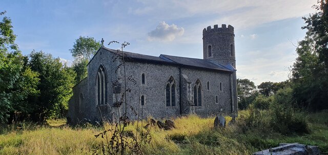
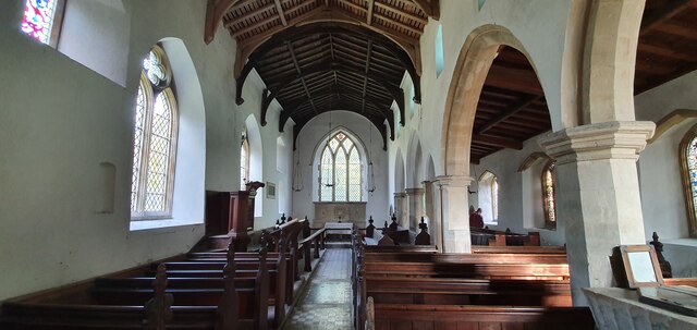
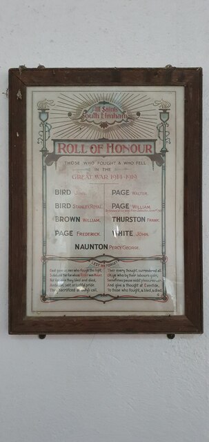
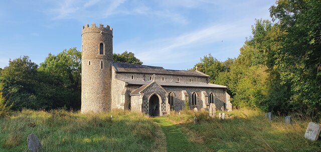
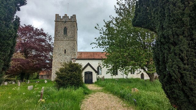
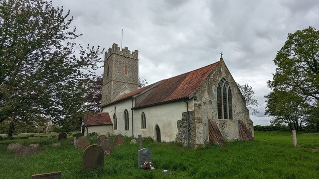
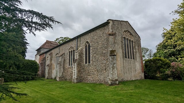
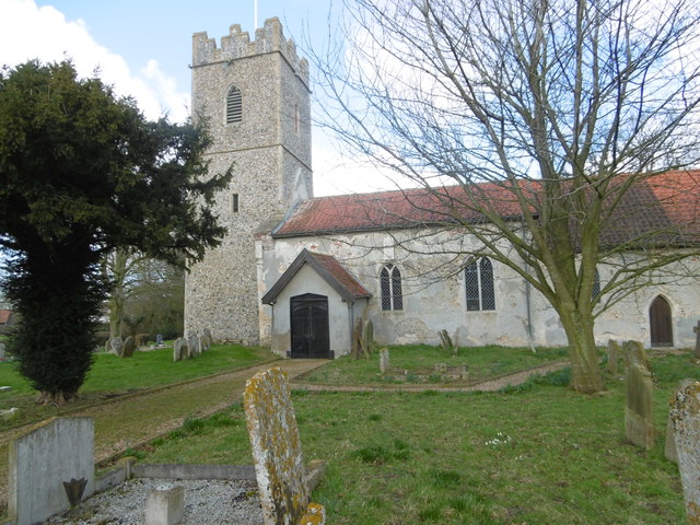
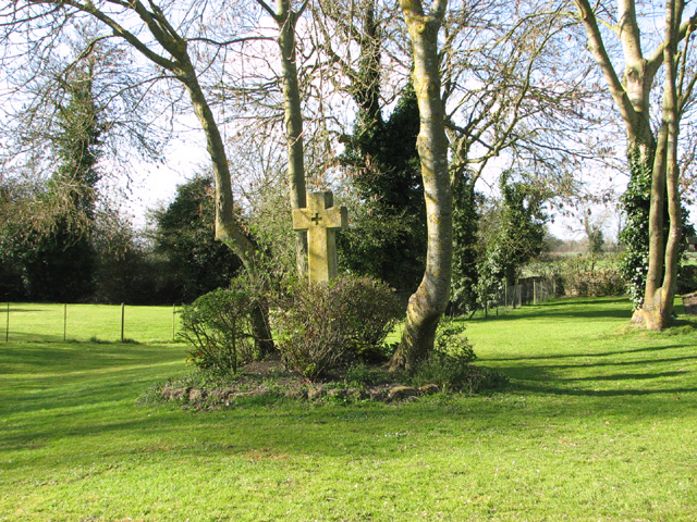
The village is known for its stunning medieval church, All Saints' Church, which dates back to the 12th century. The church's architecture is a blend of Norman and Gothic styles, featuring a striking tower and intricate stonework. Inside, visitors can admire the beautifully preserved frescoes which depict biblical scenes and provide a glimpse into the past.
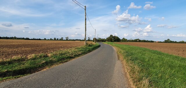
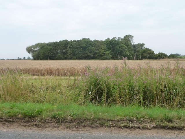
Surrounded by picturesque countryside, All Saints' South Elmham offers plenty of opportunities for outdoor activities. The village is situated near the River Waveney, making it an excellent destination for fishing and boating enthusiasts. The area is also renowned for its scenic walking and cycling trails, allowing visitors to explore the stunning landscape and enjoy the tranquility of the countryside.
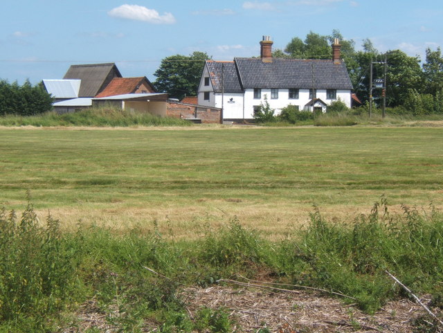
Although a small village, All Saints' South Elmham is not lacking in amenities. The village has a community hall which hosts various events and activities throughout the year, bringing residents together. Additionally, there are several accommodation options available, including cozy bed and breakfasts and self-catering cottages, ensuring a comfortable stay for visitors.
All Saints' South Elmham, with its historical church, beautiful surroundings, and warm community spirit, offers a delightful retreat for those seeking a peaceful and authentic English countryside experience.
If you have any feedback on the listing, please let us know in the comments section below.
All Saints' South Elmham Images
Images are sourced within 2km of 52.390876/1.4396828 or Grid Reference TM3482. Thanks to Geograph Open Source API. All images are credited.
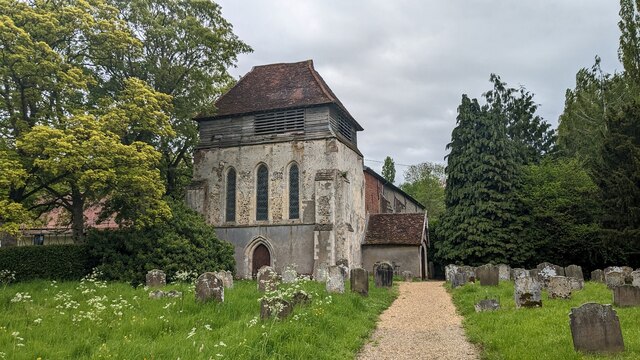
![The Priory Church of St Michael and St Felix, Rumburgh A moated church, all that remains of the Priory of St Michael and St Felix [founded 1047-64, suppressed 1528].](https://s0.geograph.org.uk/geophotos/04/63/46/4634600_022deb17.jpg)
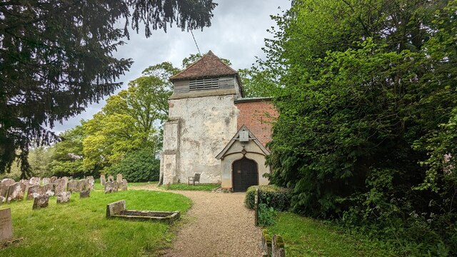
![The moat, Priory Church of St Michael and St Felix [1] Looking east from the footbridge on the south side of the churchyard.](https://s1.geograph.org.uk/geophotos/04/63/46/4634605_fac3b2ec.jpg)
![The moat, Priory Church of St Michael and St Felix [2] Looking west from the footbridge on the south side of the churchyard.](https://s2.geograph.org.uk/geophotos/04/63/46/4634610_6e4b3fa8.jpg)
All Saints' South Elmham is located at Grid Ref: TM3482 (Lat: 52.390876, Lng: 1.4396828)
Administrative County: Suffolk
District: East Suffolk
Police Authority: Suffolk
Also known as: All Saints South Elmham
What 3 Words
///boarded.powering.thorax. Near Halesworth, Suffolk
Nearby Locations
Related Wikis
All Saints' South Elmham
All Saints' South Elmham is a village and former civil parish in the north of the English county of Suffolk. The parish was combined with St Nicholas South...

Rumburgh Priory
Rumburgh Priory was a Benedictine priory located in the village of Rumburgh in the English county of Suffolk. The priory was founded in about 1065 as a...

All Saints and St Nicholas, South Elmham
All Saints and St Nicholas, South Elmham is a civil parish in the north of the English county of Suffolk. It is 5 miles (8.0 km) south of the market town...
All Saints Church, South Elmham
All Saints Church is a redundant Anglican church in the village of All Saints' South Elmham, one of a group of villages jointly known as The Saints, in...

Wangford Hundred
Wangford was a hundred of Suffolk, England, consisting of 34,679 acres (140.34 km2).Wangford Hundred was an area of around twelve miles (19 km) from west...

Rumburgh
Rumburgh is a village and civil parish in the English county of Suffolk. It is 3.5 miles (5.6 km) north-west of the market town of Halesworth in the East...

St Michael South Elmham
St Michael South Elmham is a village and civil parish in the north of the English county of Suffolk. It is 4 miles (6.4 km) south of the market town of...
St Nicholas South Elmham
St Nicholas South Elmham is a place and former civil parish in the north of the English county of Suffolk. The parish was combined with All Saints' South...
Nearby Amenities
Located within 500m of 52.390876,1.4396828Have you been to All Saints' South Elmham?
Leave your review of All Saints' South Elmham below (or comments, questions and feedback).