Dove Holes
Settlement in Derbyshire High Peak
England
Dove Holes

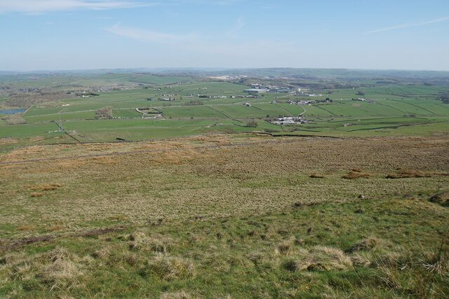
Dove Holes is a small village located in the High Peak district of Derbyshire, England. Situated in the heart of the Peak District National Park, it is surrounded by picturesque countryside and offers stunning views of the nearby hills and valleys.
The village is named after a series of small caves or "holes" in the limestone cliffs that were once inhabited by pigeons, also known as doves. Over the years, these caves have become a popular attraction for visitors interested in the area's natural heritage.
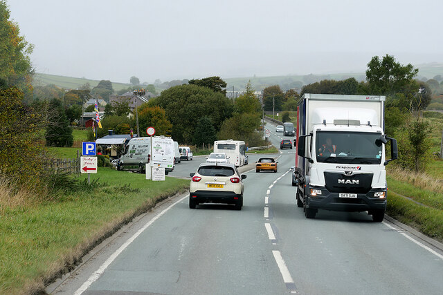
Despite its small size, Dove Holes has a close-knit community and offers a range of amenities for its residents. It has a primary school, a village hall, a post office, a convenience store, and a few local shops and pubs. The village is also well-connected to neighboring towns and cities, with regular bus services and easy access to major roadways.
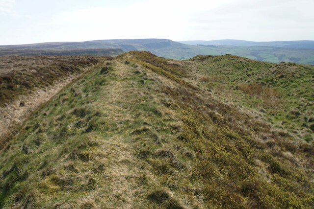
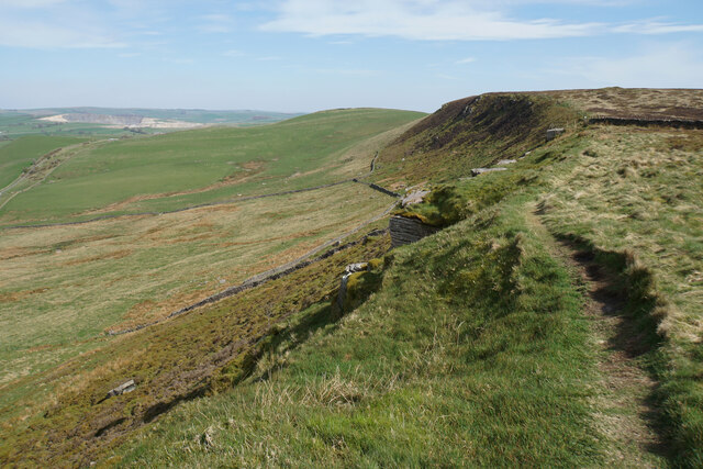
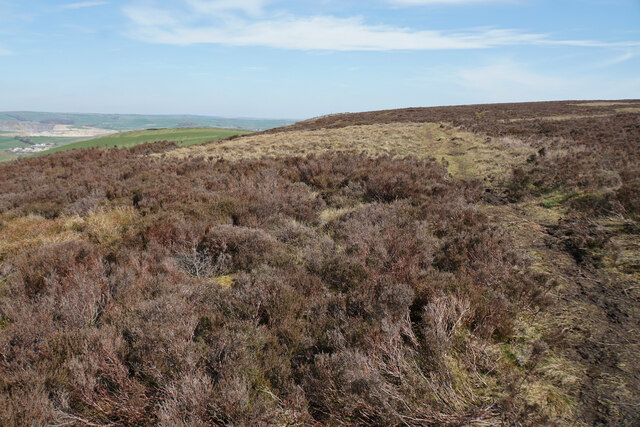
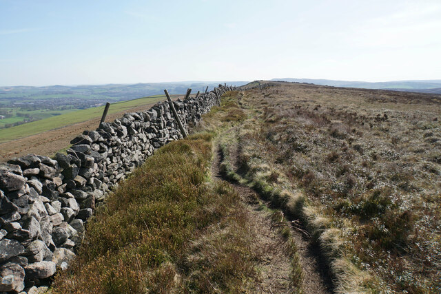
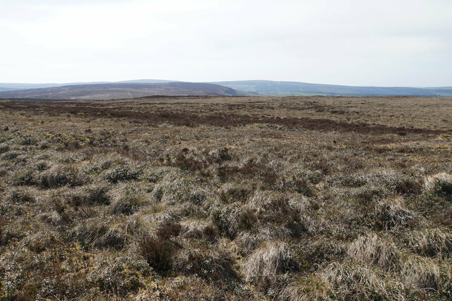
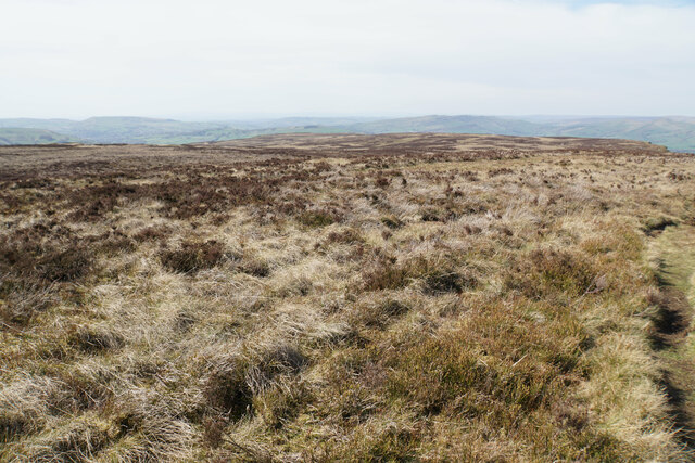
For those who enjoy outdoor activities, Dove Holes is an ideal location. The surrounding area offers numerous opportunities for hiking, cycling, and exploring the beautiful countryside. The nearby Peak District National Park is a haven for nature lovers, with its vast moorlands, limestone dales, and rugged peaks.
Overall, Dove Holes is a charming village that offers a peaceful and scenic setting for residents and visitors alike. Its natural beauty, community spirit, and convenient location make it a desirable place to live or visit for those seeking a tranquil escape in the heart of Derbyshire.
If you have any feedback on the listing, please let us know in the comments section below.
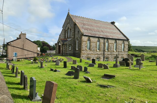
Dove Holes Images
Images are sourced within 2km of 53.30042/-1.892081 or Grid Reference SK0778. Thanks to Geograph Open Source API. All images are credited.


Dove Holes is located at Grid Ref: SK0778 (Lat: 53.30042, Lng: -1.892081)
Administrative County: Derbyshire
District: High Peak
Police Authority: Derbyshire
What 3 Words
///fuzzy.nerd.compress. Near Dove Holes, Derbyshire
Nearby Locations
Related Wikis
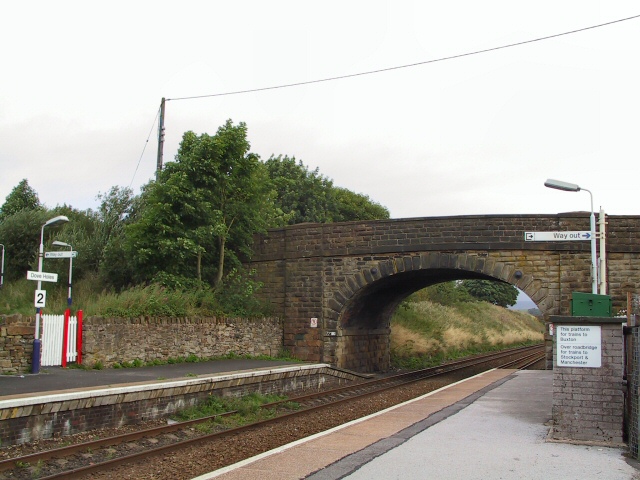
Dove Holes railway station
Dove Holes railway station serves the village of Dove Holes, Derbyshire, England. The station is on the Buxton line between Manchester Piccadilly and Buxton...

Dove Holes
Dove Holes is a village in the High Peak district of Derbyshire, England. It has a population of about 1,200 (2001), shown in the 2011 Census as being...

The Bull Ring
The Bull Ring is a Class II henge that was built in the late Neolithic period near Dove Holes in Derbyshire, England.It has coordinates 53.300695°N 1.884423...

Dove Holes Tunnel
Dove Holes Tunnel is a tunnel built by the Midland Railway between Peak Forest Signal Box and Chapel-en-le-Frith in Derbyshire in 1860–64, now carrying...
Nearby Amenities
Located within 500m of 53.30042,-1.892081Have you been to Dove Holes?
Leave your review of Dove Holes below (or comments, questions and feedback).