Selwood

Civil Parish in Somerset Mendip

England

Selwood

Road to the Longleat Safari park
Road to the Longleat Safari park Credit: Helen Steed

Selwood is a civil parish located in the county of Somerset, England. It is situated within the Mendip district and covers an area of approximately 14.4 square kilometers. The parish is named after Selwood Forest, a historic woodland that once covered a significant portion of the area.

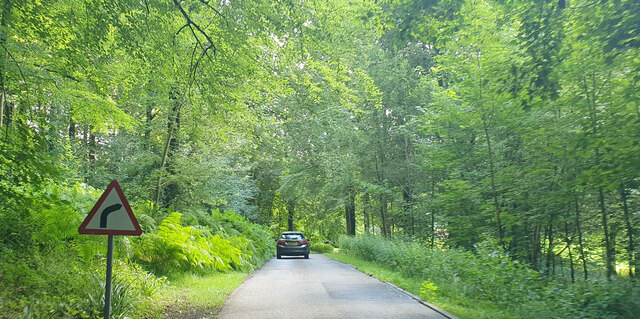
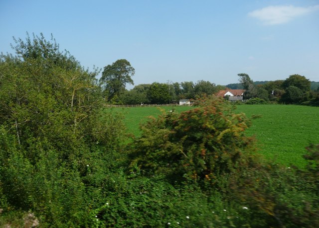
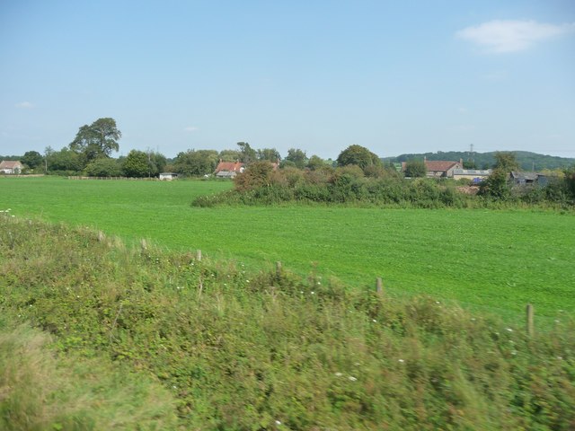
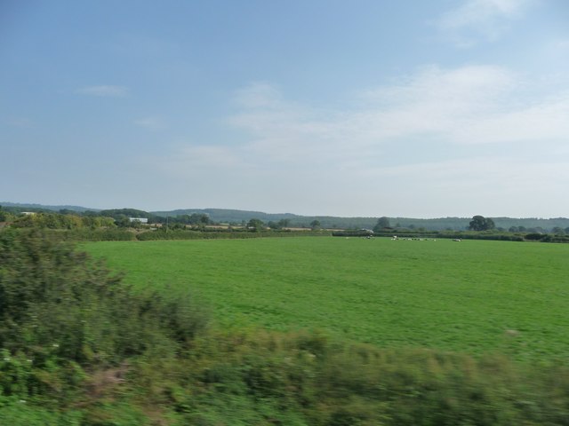
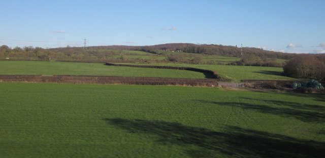
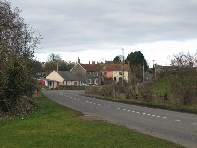
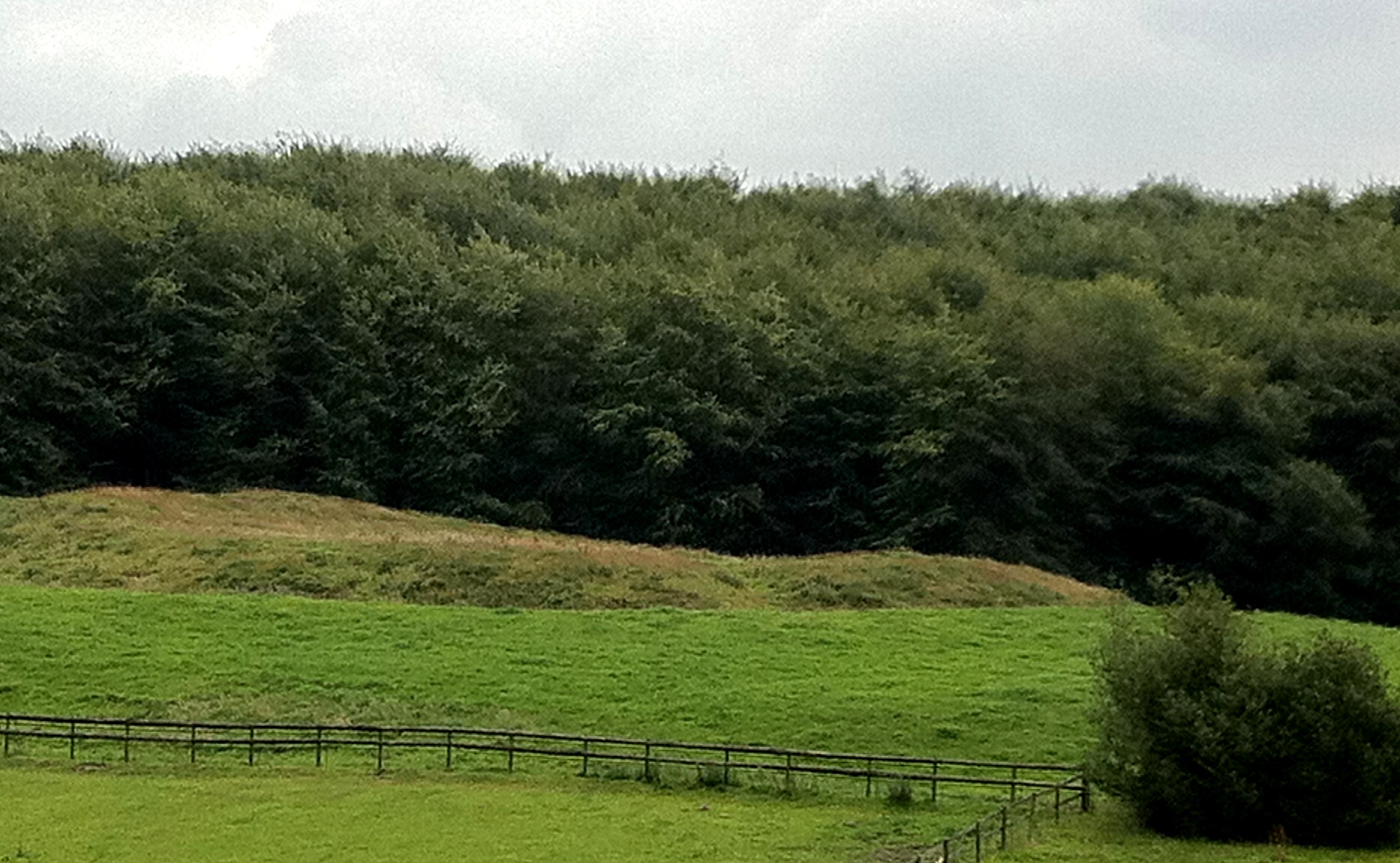
The landscape of Selwood is predominantly rural, characterized by rolling hills and lush green fields. It is a picturesque area with charming villages and hamlets scattered throughout. The largest settlement within the parish is the village of Holcombe, which serves as the administrative center.

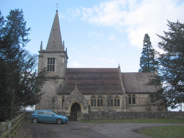
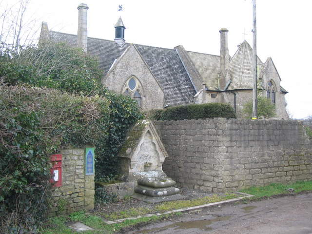
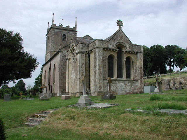
Selwood is known for its rich history, dating back to the Roman period. The area was once an important center for lead mining, and remnants of these ancient mines can still be found today. The parish is also home to several historic buildings, including St. Andrew's Church in Holcombe, which dates back to the 12th century.

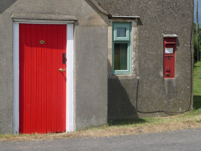
In terms of amenities, Selwood offers a range of services to its residents. These include a primary school, a village hall, and a local pub. The parish is well-connected to neighboring towns and cities, with good transport links to Bath, Bristol, and Wells.

Overall, Selwood is a tranquil and picturesque civil parish, offering a peaceful countryside lifestyle to its residents while being within easy reach of larger urban centers. It is a place steeped in history and natural beauty, making it an attractive destination for both residents and visitors alike.

If you have any feedback on the listing, please let us know in the comments section below.
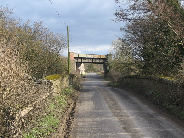
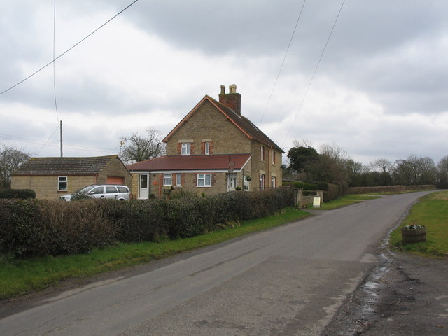
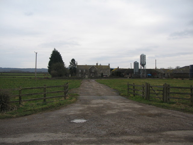
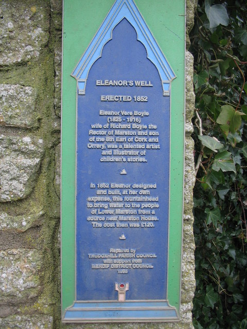
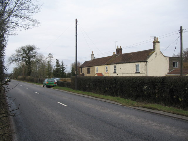
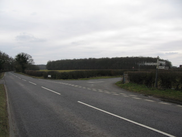
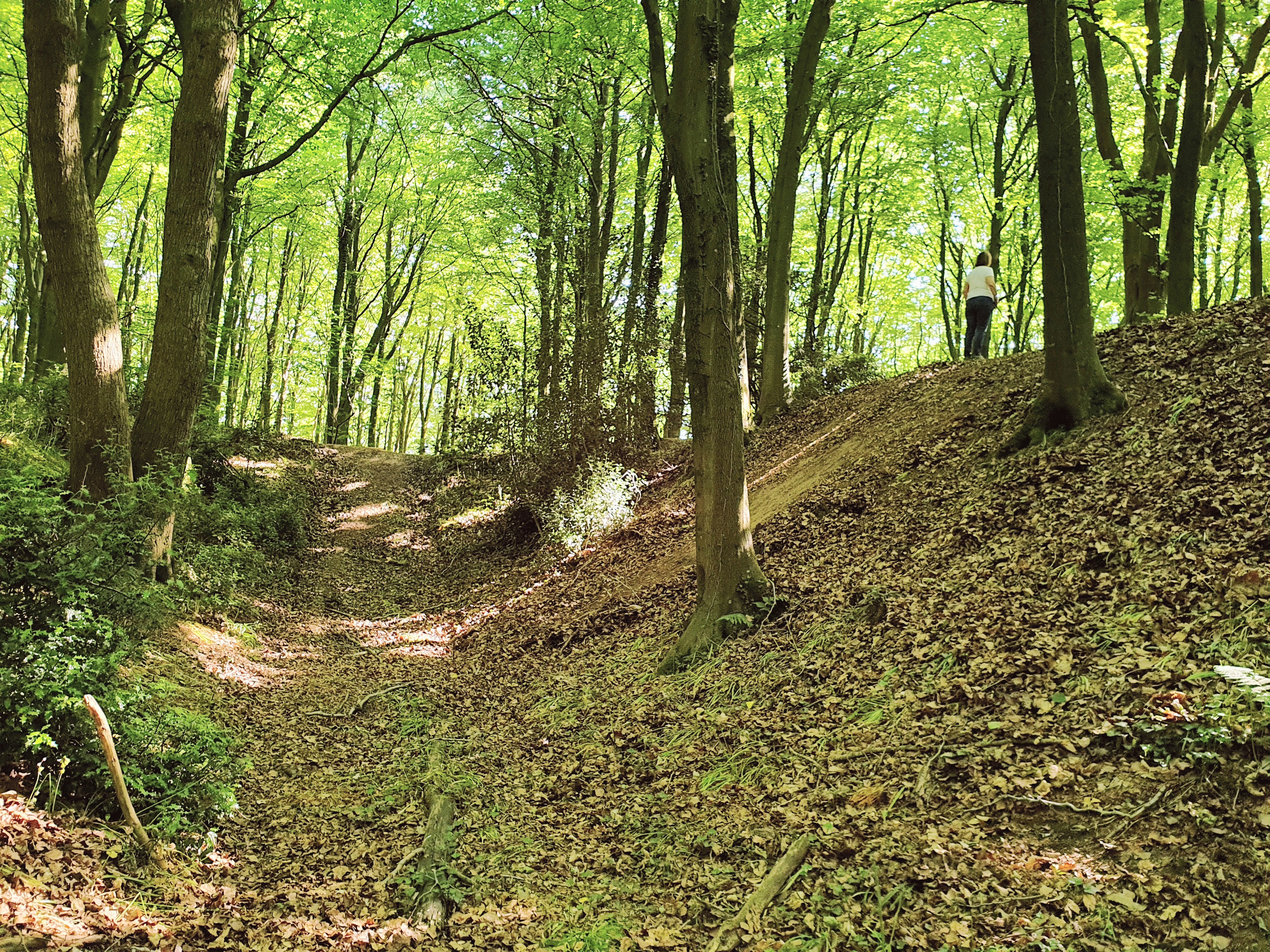
Selwood Images

Images are sourced within 2km of 51.194282/-2.314652 or Grid Reference ST7843. Thanks to Geograph Open Source API. All images are credited.

Road to the Longleat Safari park
Mendip : Bushes & Greenery Lots of greenery and bushes beside the railway here in Mendip.
Mendip : Bushes & Greenery
Lots of greenery and bushes beside the railway here in Mendip.
Mendip : Grassy Field A grassy field and bushes in the Mendips.
Mendip : Grassy Field
A grassy field and bushes in the Mendips.
Mendip : Grassy Field A grassy field as seen from a passing train in Somerset.
Mendip : Grassy Field
A grassy field as seen from a passing train in Somerset.
Fields by the B3092 The B road runs between hedges across the image, between Frome and Maiden Bradley. Silage bales are on the right. The pasture land rises towards New Church Farm at East Woodlands, in <a href="https://www.geograph.org.uk/gridref/ST7844">ST7844</a>, with Lower Woods clothing the hills west of Longleat. Taken from a train on the main railway line between Westbury and Bruton.
Fields by the B3092
The B road runs between hedges across the image, between Frome and Maiden Bradley. Silage bales are on the right. The pasture land rises towards New Church Farm at East Woodlands, in ST7844, with Lower Woods clothing the hills west of Longleat. Taken from a train on the main railway line between Westbury and Bruton.
West Woodlands: postbox № BA11 12 A Victorian postbox is set into the wall of the cottage on the corner of Bull's Quarries Road with the main B3092. The door is painted a matching red.
West Woodlands: postbox № BA11 12
A Victorian postbox is set into the wall of the cottage on the corner of Bull's Quarries Road with the main B3092. The door is painted a matching red.
Church at East Woodlands A view looking north to the church at East Woodlands.
Church at East Woodlands
A view looking north to the church at East Woodlands.
East Woodlands A view looking northwest in the hamlet of East Woodlands, with the Horse and Groom public house on the left.
East Woodlands
A view looking northwest in the hamlet of East Woodlands, with the Horse and Groom public house on the left.
Blatchbridge A view looking north along the B3092 to Blatchbridge, over the River Frome.
Blatchbridge
A view looking north along the B3092 to Blatchbridge, over the River Frome.
Bulls Bridge A view looking southeast across Bulls Bridge over the River Frome to the junction with the B3092 near West Woodlands.
Bulls Bridge
A view looking southeast across Bulls Bridge over the River Frome to the junction with the B3092 near West Woodlands.
Windwistle Cottage A view looking southeast along the lane leading to East Woodlands, showing Windwistle Cottage on the left.
Windwistle Cottage
A view looking southeast along the lane leading to East Woodlands, showing Windwistle Cottage on the left.
Marston Main Farm A view looking south along the access road to Marston Main Farm
Marston Main Farm
A view looking south along the access road to Marston Main Farm
Eleanor's Well A view looking northwest to Eleanor's Well at Lower Marston.  The blue plaque to the left of the well states that it was erected in 1852 by Eleanor Vere Boyle.
Eleanor's Well
A view looking northwest to Eleanor's Well at Lower Marston. The blue plaque to the left of the well states that it was erected in 1852 by Eleanor Vere Boyle.
Plaque at Eleanor's Well A detail view of the plaque adjacent to Eleanor's Well at Lower Marston.
Plaque at Eleanor's Well
A detail view of the plaque adjacent to Eleanor's Well at Lower Marston.
Cottages at Alder Row A view looking north along the B3092 at Alder Row.
Cottages at Alder Row
A view looking north along the B3092 at Alder Row.
Bunns Lane A view looking south along the B3092 at the junction with Bunns Lane (right). Wrangles Wood is in the background.
Bunns Lane
A view looking south along the B3092 at the junction with Bunns Lane (right). Wrangles Wood is in the background.
Titmarsh Farm A view looking north from the road between Tytherington and Bulls Bridge towards Titmarsh Farm.
Titmarsh Farm
A view looking north from the road between Tytherington and Bulls Bridge towards Titmarsh Farm.
Entrance to Frome Showground A view looking to the southeast along the B3092, showing the entrance to the Frome Showground on the right.
Entrance to Frome Showground
A view looking to the southeast along the B3092, showing the entrance to the Frome Showground on the right.
Show me another place!

Selwood is located at Grid Ref: ST7843 (Lat: 51.194282, Lng: -2.314652)

Administrative County: Somerset

District: Mendip

Police Authority: Avon and Somerset

What 3 Words

///jugs.self.clinking. Near Frome, Somerset

Nearby Locations

Selwood

Related Wikis

Church of St Katherine, East Woodlands

The Anglican Church of St Katherine in East Woodlands, Selwood, Somerset, England was built around 1712. It is a Grade II* listed building. == History... ==

Frome Clay

The Frome Clay is a geological formation in England. It preserves fossils dating back to the Bathonian stage of the Middle Jurassic period. == See also... ==

Marston Moat

Marston Moat is the site of a fortified manor house in the parish of Trudoxhill, Somerset, England. It has been designated as a Scheduled Ancient Monument...

Longleat Woods

Longleat Woods (grid reference ST795435) is a 249.9 hectare (617.4 acre) biological Site of Special Scientific Interest south of Frome in Somerset, notified...

Roddenbury Hillfort

Roddenbury Hillfort is a univallate Iron Age hillfort in the parish of Selwood, Somerset, England. It is a Scheduled Monument and it was on the Heritage...

Hales Castle

Hales Castle was a medieval castle that once stood overlooking the town of Frome in the Mendip district of Somerset, England. It has been scheduled as...

Blatchbridge

Blatchbridge is a hamlet within the civil parish of Selwood in Somerset, England, on the B3092 road from Frome to Maiden Bradley. It formerly had a blacksmith...

Marston Bigot

Marston Bigot is a small village and former civil parish, now in the parish of Trudoxhill in the Somerset district, in the ceremonial county of Somerset...

Nearby Amenities

Located within 500m of 51.194282,-2.314652
Colour: grey
Design: three-level
Height: 80.09
Line Attachment: suspension
Material: metal
Operator: National Grid
Operator Wikidata: Q1465461
Power: tower
Ref: ZG179
Source: Bing
Start Date: 1960
Structure: lattice
Lat/Long: 51.1975443/-2.3123861
Colour: grey
Design: three-level
Height: 81.27
Line Attachment: suspension
Material: metal
Operator: National Grid
Operator Wikidata: Q1465461
Power: tower
Ref: ZG178
Source: Bing
Start Date: 1960
Structure: lattice
Lat/Long: 51.1950997/-2.3146688
Colour: grey
Design: three-level
Height: 81.08
Line Attachment: suspension
Material: metal
Operator: National Grid
Operator Wikidata: Q1465461
Power: tower
Ref: ZG177
Source: Bing
Start Date: 1960
Structure: lattice
Lat/Long: 51.1932707/-2.3162883
Colour: grey
Design: three-level
Height: 83.03
Line Attachment: suspension
Material: metal
Operator: National Grid
Operator Wikidata: Q1465461
Power: tower
Ref: ZG176
Source: Bing
Start Date: 1960
Structure: lattice
Lat/Long: 51.1913067/-2.3198399
West Woodlands
Place: village
Lat/Long: 51.1934453/-2.3208736
The data included in this document is from www.openstreetmap.org. The data is made available under ODbL.

Have you been to Selwood?

Leave your review of Selwood below (or comments, questions and feedback).