Scarcroft
Civil Parish in Yorkshire Leeds
England
Scarcroft
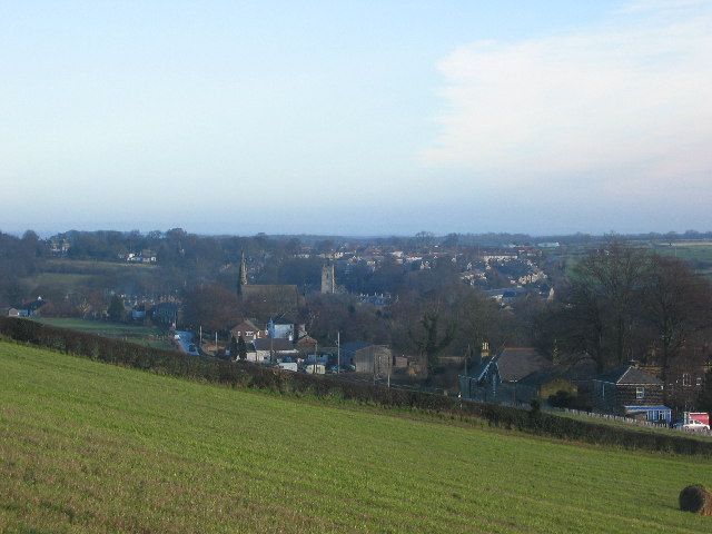
Scarcroft is a small civil parish located in the county of Yorkshire, England. It is situated approximately 7 miles northeast of the city of Leeds. The parish covers an area of around 1.5 square miles and has a population of about 1,500 people.
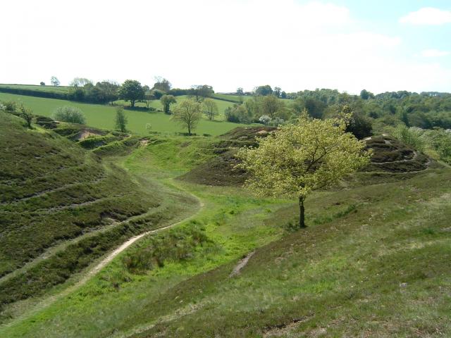
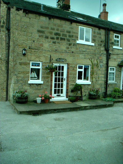
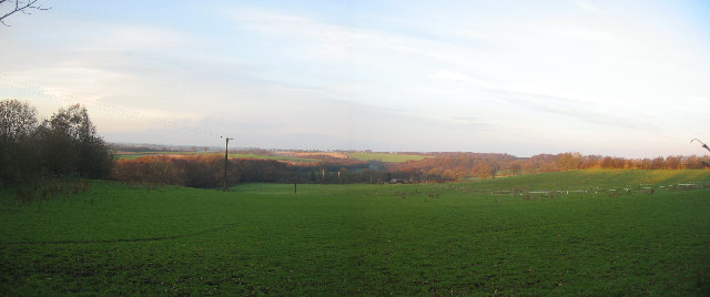
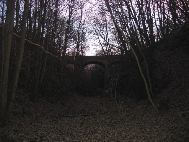
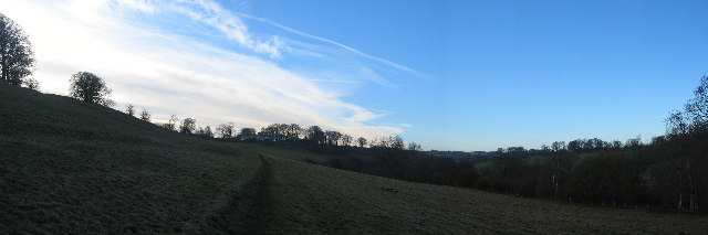
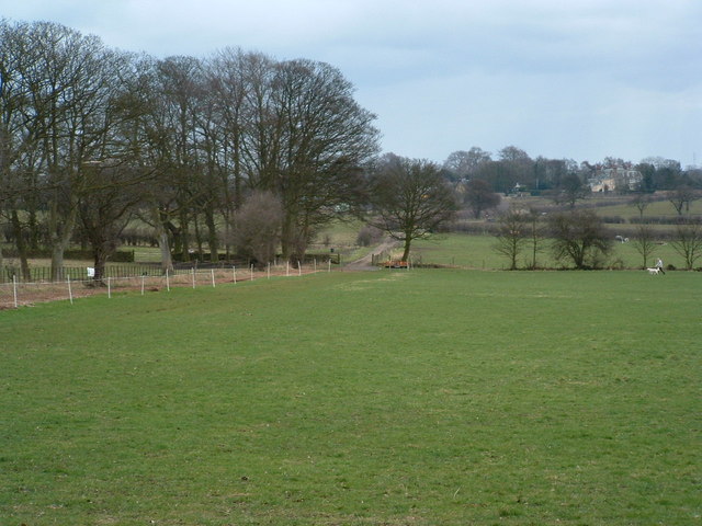
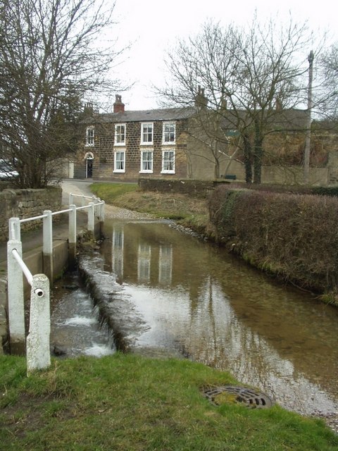
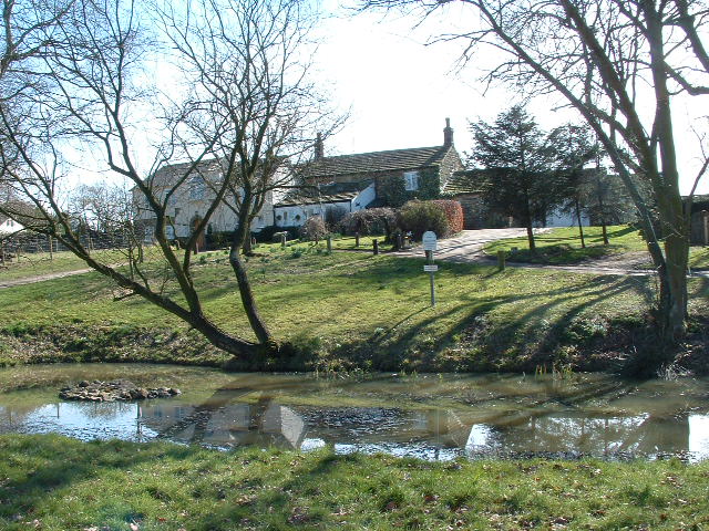
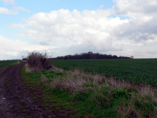
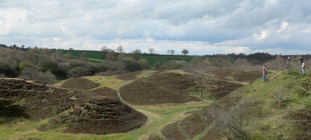
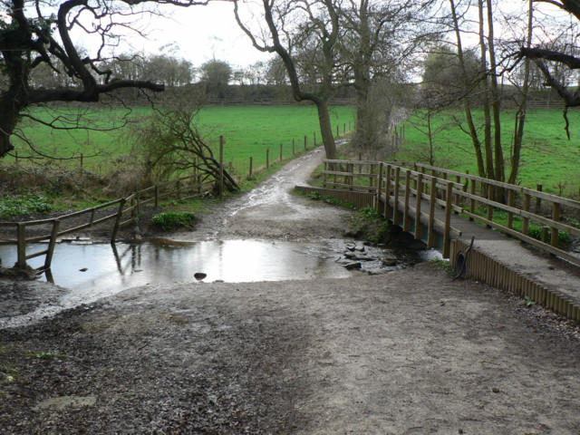
Scarcroft is characterized by its picturesque rural landscape, with rolling hills, open fields, and charming countryside scenery. The village itself is comprised of mainly residential properties, with a few local businesses and amenities scattered throughout.
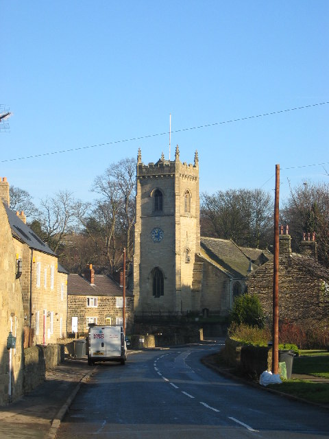
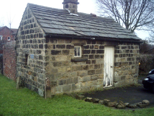
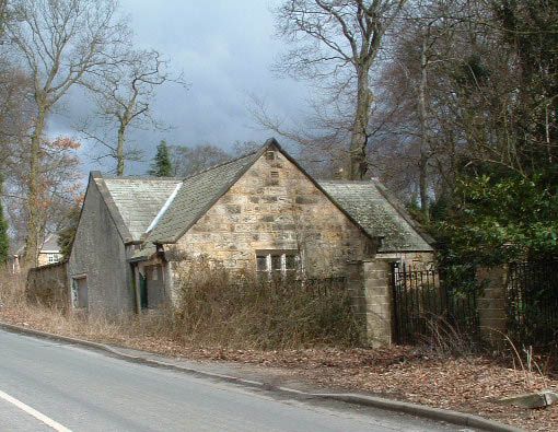
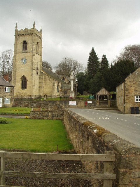
The history of Scarcroft can be traced back to medieval times when it was mentioned in the Domesday Book of 1086. Over the years, it has retained much of its traditional character and charm, with several historic buildings and landmarks still standing.
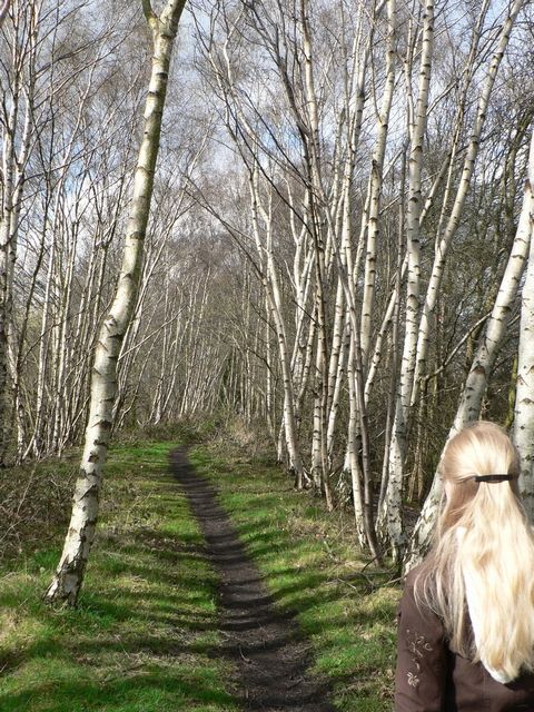
One notable feature of Scarcroft is its proximity to the Hetchell Woods Nature Reserve, which lies to the west of the parish. This woodland area provides residents and visitors with ample opportunities for outdoor activities such as hiking, wildlife spotting, and picnicking.
The parish is well-connected to neighboring areas through a network of roads, making it easily accessible by car. Additionally, there are regular bus services that operate in the vicinity, providing convenient transportation options for those without private vehicles.
Overall, Scarcroft offers a peaceful and idyllic setting for those seeking a quiet countryside lifestyle while still being within reach of urban amenities in nearby Leeds.
If you have any feedback on the listing, please let us know in the comments section below.
Scarcroft Images
Images are sourced within 2km of 53.867843/-1.445351 or Grid Reference SE3641. Thanks to Geograph Open Source API. All images are credited.
Scarcroft is located at Grid Ref: SE3641 (Lat: 53.867843, Lng: -1.445351)
Division: West Riding
Administrative County: West Yorkshire
District: Leeds
Police Authority: West Yorkshire
What 3 Words
///euphoric.patrolled.communal. Near Scarcroft, West Yorkshire
Nearby Locations
Related Wikis
Scarcroft
Scarcroft is a village and civil parish 6 miles (10 km) north east of Leeds city centre in the City of Leeds metropolitan borough, West Yorkshire, England...

Thorner railway station
Thorner railway station was a station in Thorner, West Yorkshire, England, on the Cross Gates–Wetherby line. It opened on 1 May 1876 and closed on 6 January...
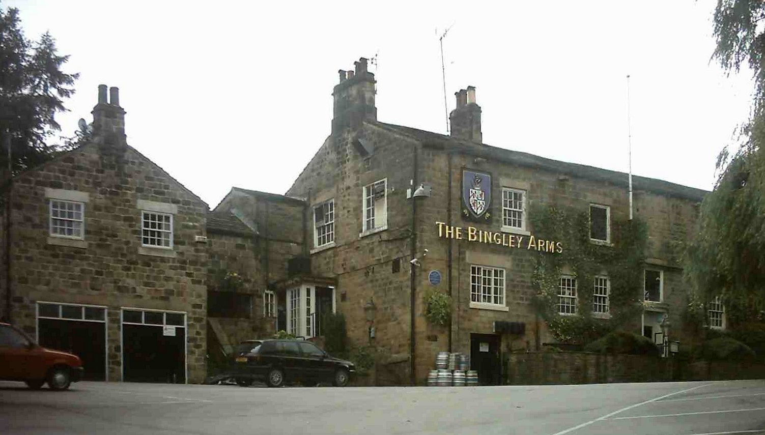
The Bingley Arms
The Bingley Arms is a public house in Bardsey, Leeds, West Yorkshire, England. It claims to be both the oldest surviving business and oldest surviving...
Bardsey cum Rigton
Bardsey cum Rigton is a civil parish in the City of Leeds metropolitan borough in West Yorkshire, England. According to the 2001 census it had a population...
Thorner
Thorner is a rural village and civil parish in the City of Leeds in West Yorkshire, England, located between Seacroft and Wetherby. It had a population...
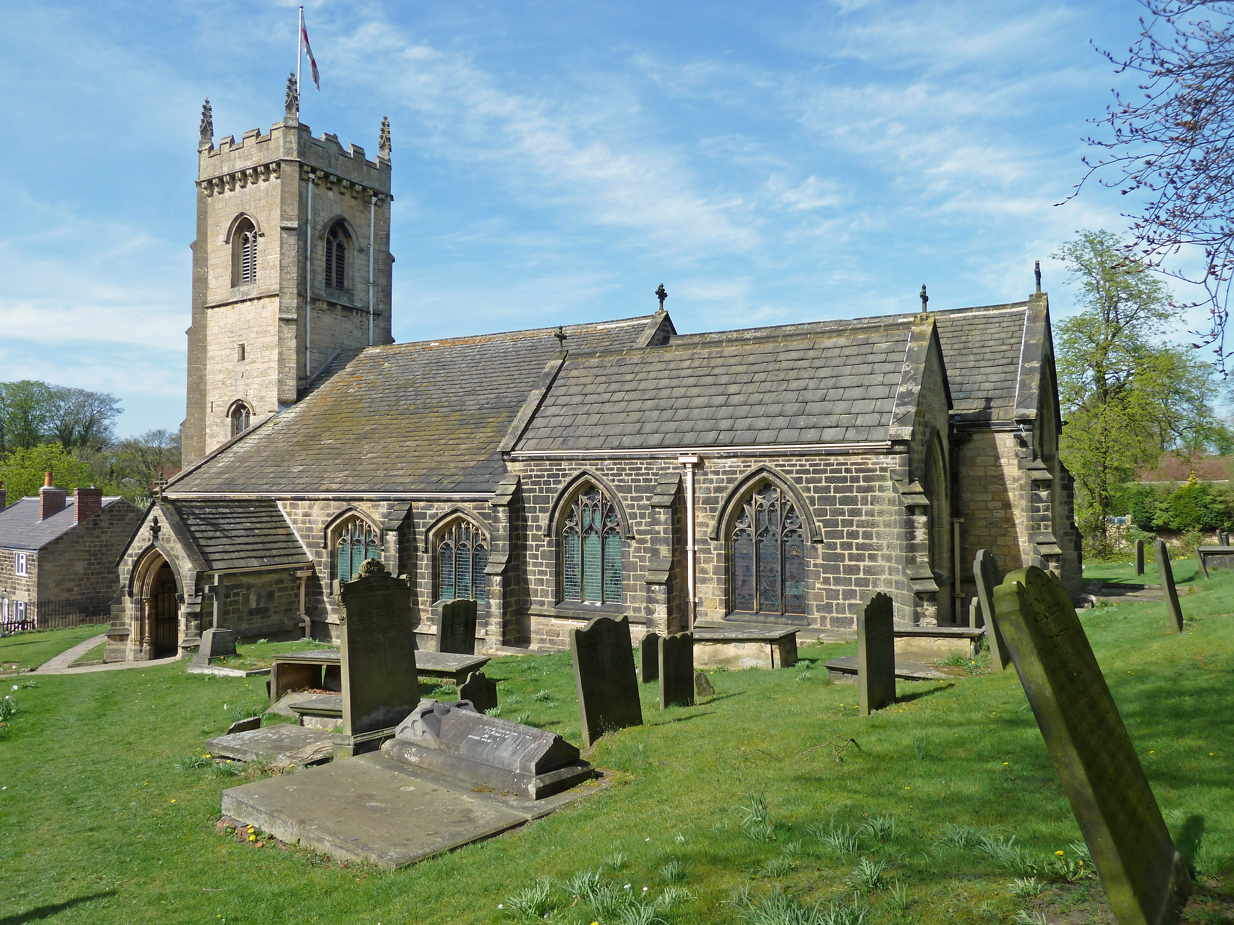
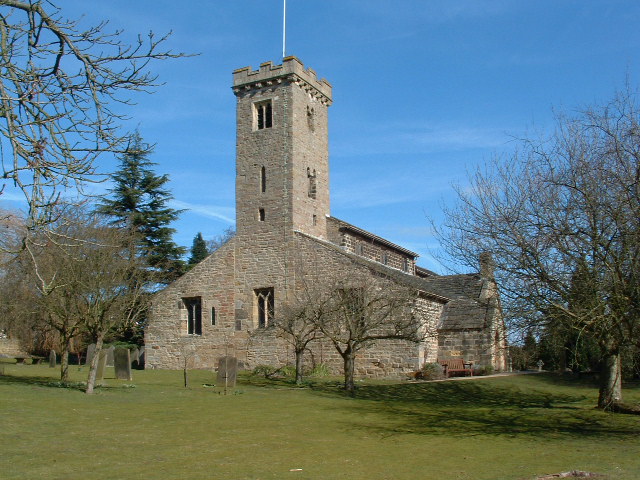
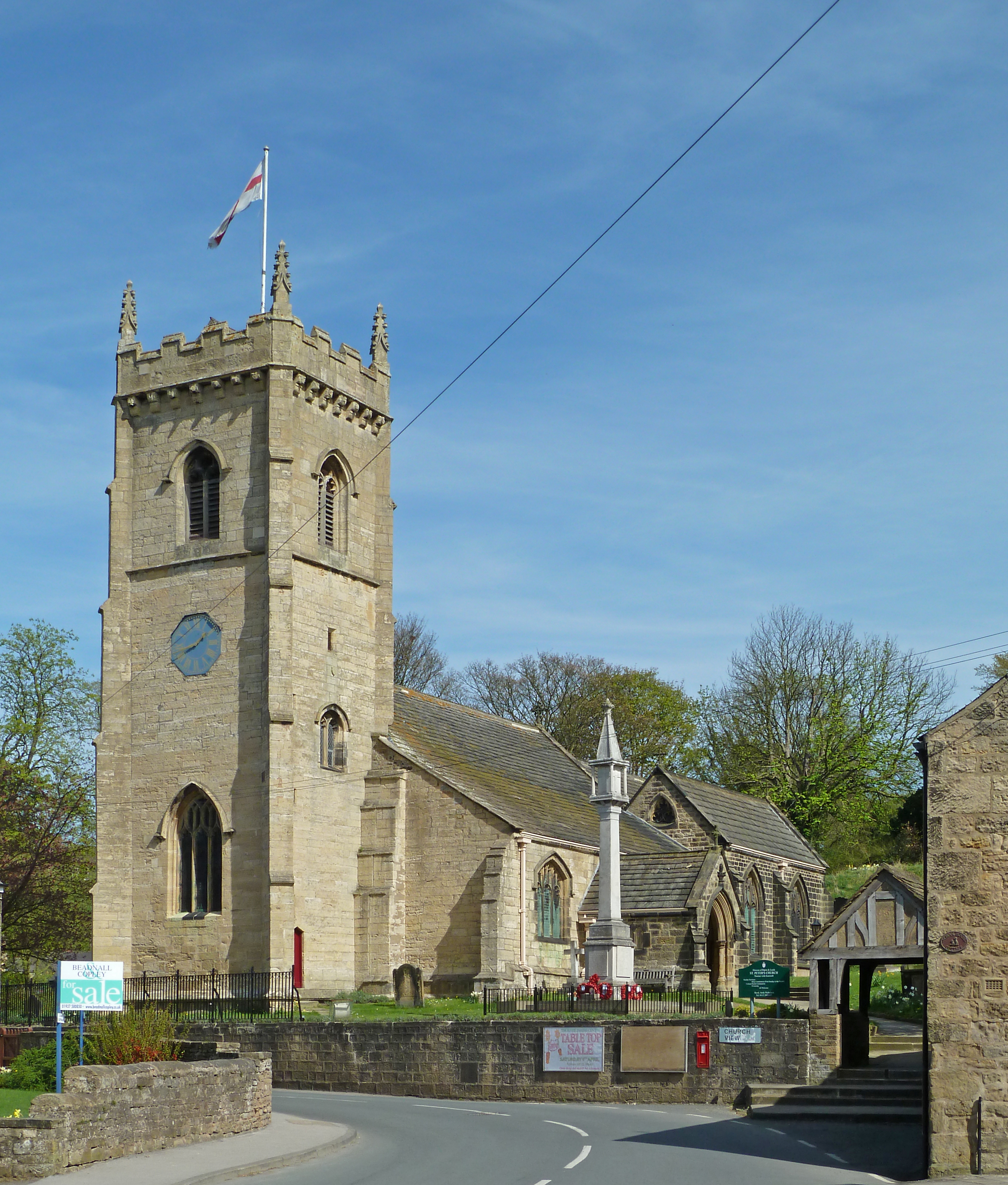
St Peter's Church, Thorner
St. Peter's Church in Thorner, West Yorkshire, England is an active Anglican parish church in the archdeaconry of Leeds and the Diocese of Leeds. The church...
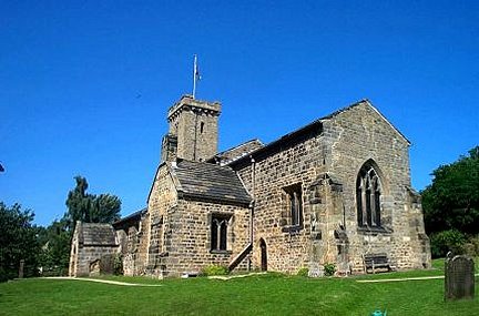
All Hallows Church, Bardsey
All Hallows Church in Bardsey, West Yorkshire, England is an active Anglican parish church in the archdeaconry of Leeds and the Diocese of Leeds. The Bardsey...
Bardsey, West Yorkshire
Bardsey, West Yorkshire, England is a small village in the City of Leeds metropolitan borough, 8 miles (13 km) north east of Leeds city centre. The village...
Nearby Amenities
Located within 500m of 53.867843,-1.445351Have you been to Scarcroft?
Leave your review of Scarcroft below (or comments, questions and feedback).