Horse Wood
Wood, Forest in Yorkshire
England
Horse Wood
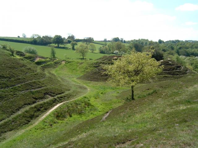
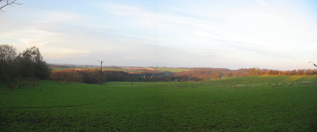
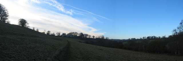
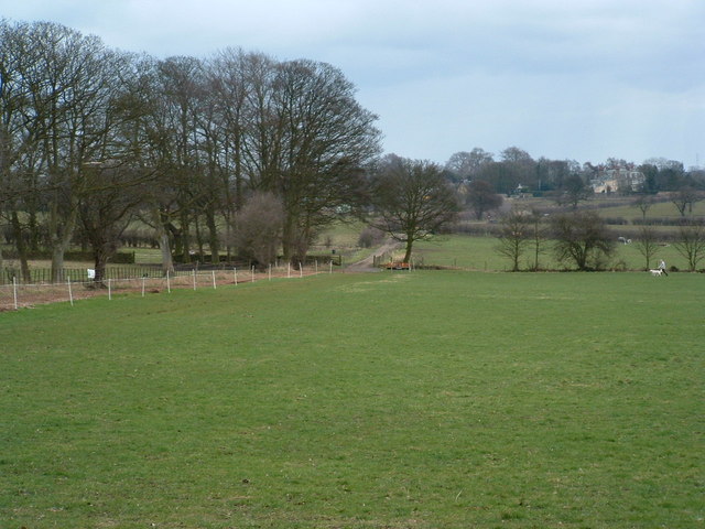
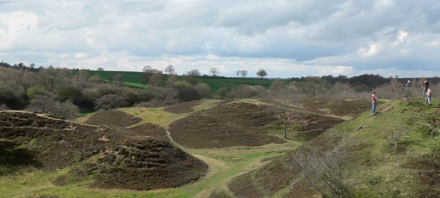
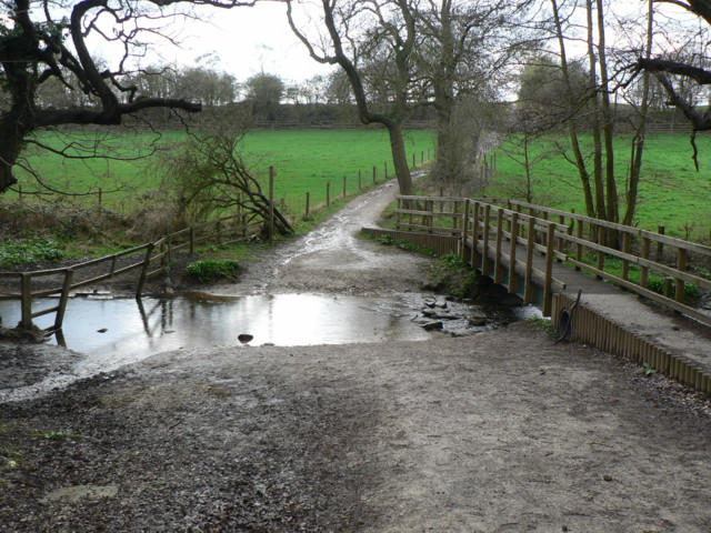
Horse Wood, located in Yorkshire, England, is a picturesque woodland area known for its natural beauty and rich biodiversity. Covering an extensive area, this forest is a haven for nature enthusiasts and provides a peaceful retreat for visitors.
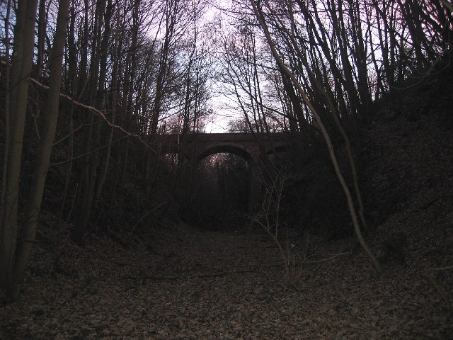
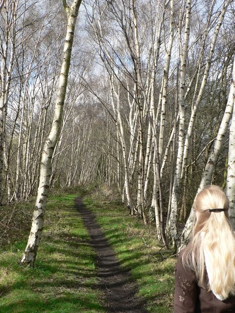
The woodland is characterized by its dense canopy of trees, predominantly consisting of oak, beech, and birch. These towering trees create a cool and shady atmosphere, making it an ideal spot for a leisurely stroll or a picnic. The forest floor is adorned with a vibrant carpet of wildflowers, ferns, and mosses, adding to the enchanting ambiance.
Horse Wood is home to an array of wildlife, including various bird species, small mammals, and elusive deer. Birdwatchers may have the opportunity to spot woodpeckers, owls, and songbirds flitting among the branches. Additionally, the forest provides an important habitat for a range of insect species, which in turn attracts insectivorous birds and other predators.
The woodland offers well-maintained paths and trails, making it accessible for walkers and cyclists. There are also designated areas for horse riding, allowing equestrians to explore the forest on horseback. Horse Wood is a popular destination for outdoor activities such as nature photography, wildlife observation, and orienteering.
Overall, Horse Wood in Yorkshire is an idyllic natural sanctuary, providing a tranquil escape from the hustle and bustle of everyday life. Its lush greenery, diverse wildlife, and peaceful atmosphere make it a must-visit destination for nature lovers and those seeking a rejuvenating experience in the heart of Yorkshire.
If you have any feedback on the listing, please let us know in the comments section below.
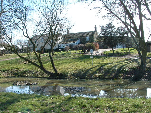
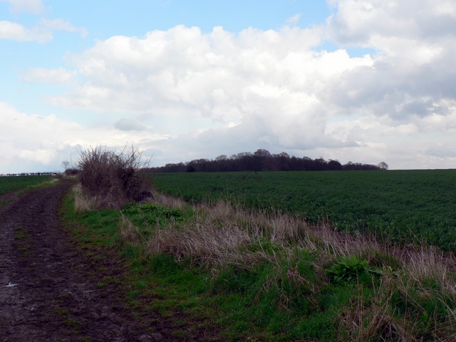
Horse Wood Images
Images are sourced within 2km of 53.865772/-1.4440942 or Grid Reference SE3641. Thanks to Geograph Open Source API. All images are credited.
Horse Wood is located at Grid Ref: SE3641 (Lat: 53.865772, Lng: -1.4440942)
Division: West Riding
Unitary Authority: Leeds
Police Authority: West Yorkshire
What 3 Words
///cobbles.moats.shoelaces. Near Scarcroft, West Yorkshire
Nearby Locations
Related Wikis
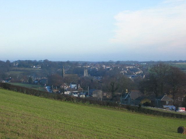
Scarcroft
Scarcroft is a village and civil parish 6 miles (10 km) north east of Leeds city centre in the City of Leeds metropolitan borough, West Yorkshire, England...

Thorner railway station
Thorner railway station was a station in Thorner, West Yorkshire, England, on the Cross Gates–Wetherby line. It opened on 1 May 1876 and closed on 6 January...
Thorner
Thorner is a rural village and civil parish in the City of Leeds in West Yorkshire, England, located between Seacroft and Wetherby. It had a population...
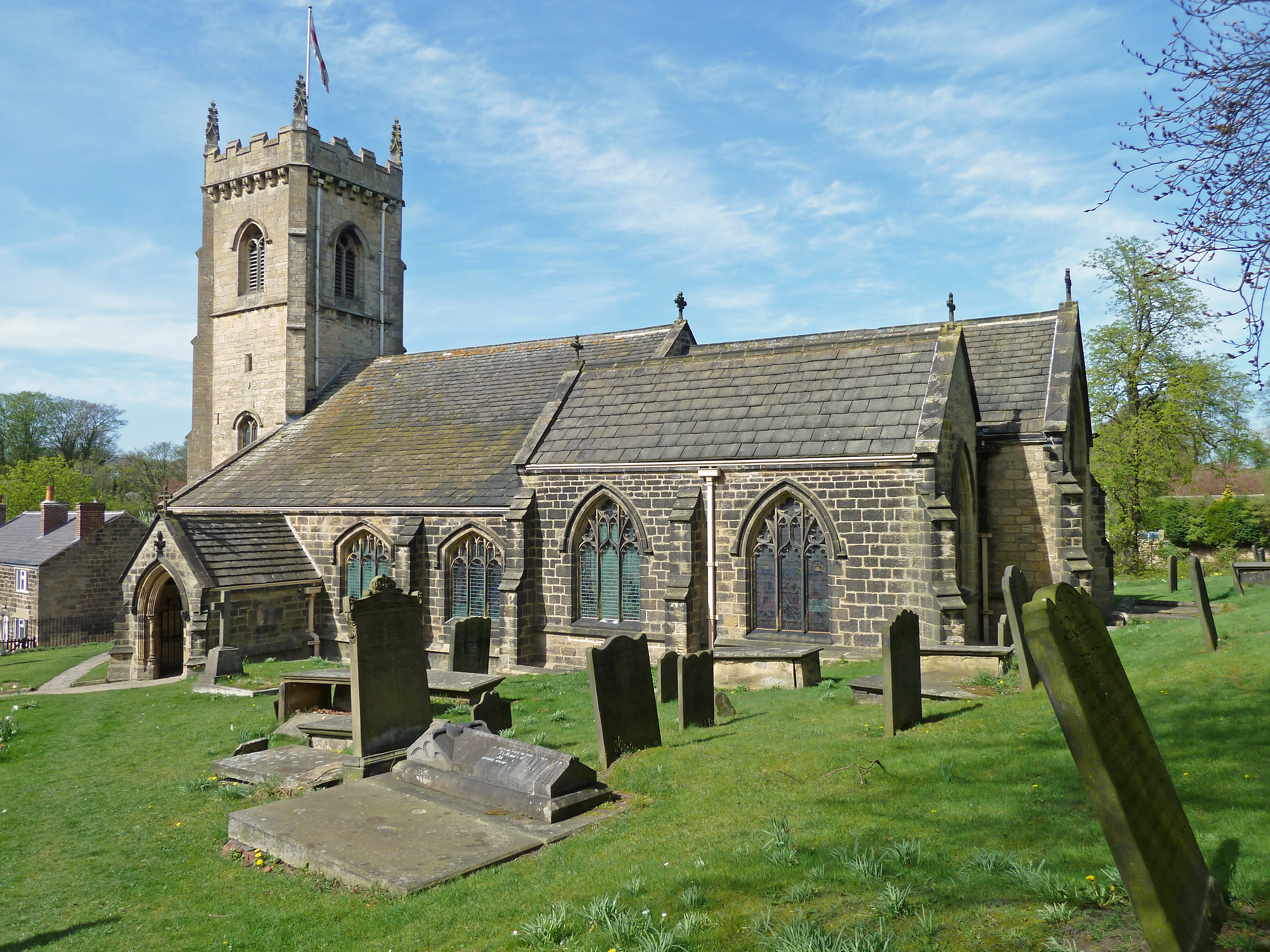
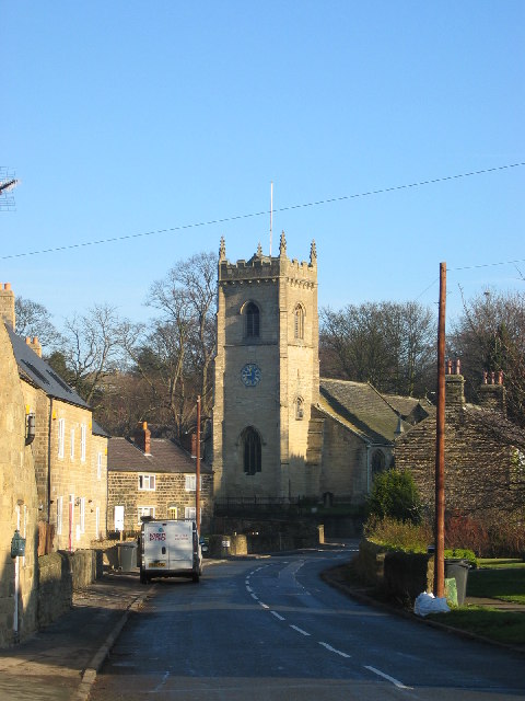
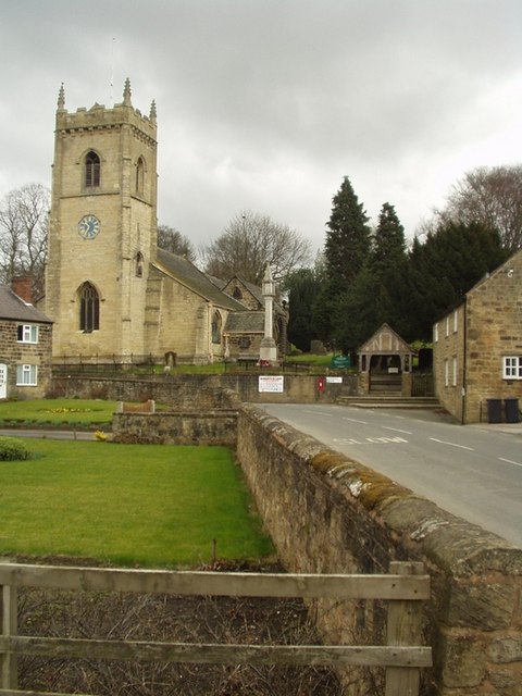
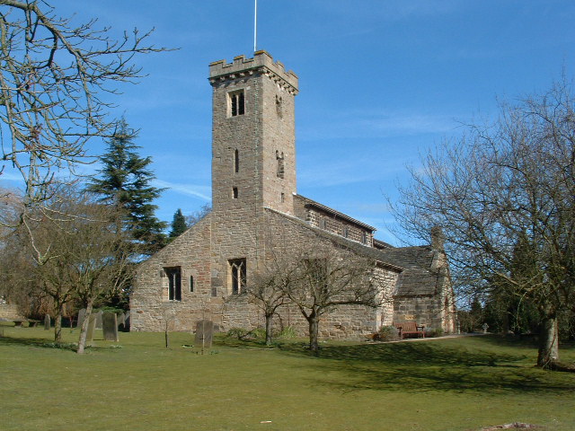
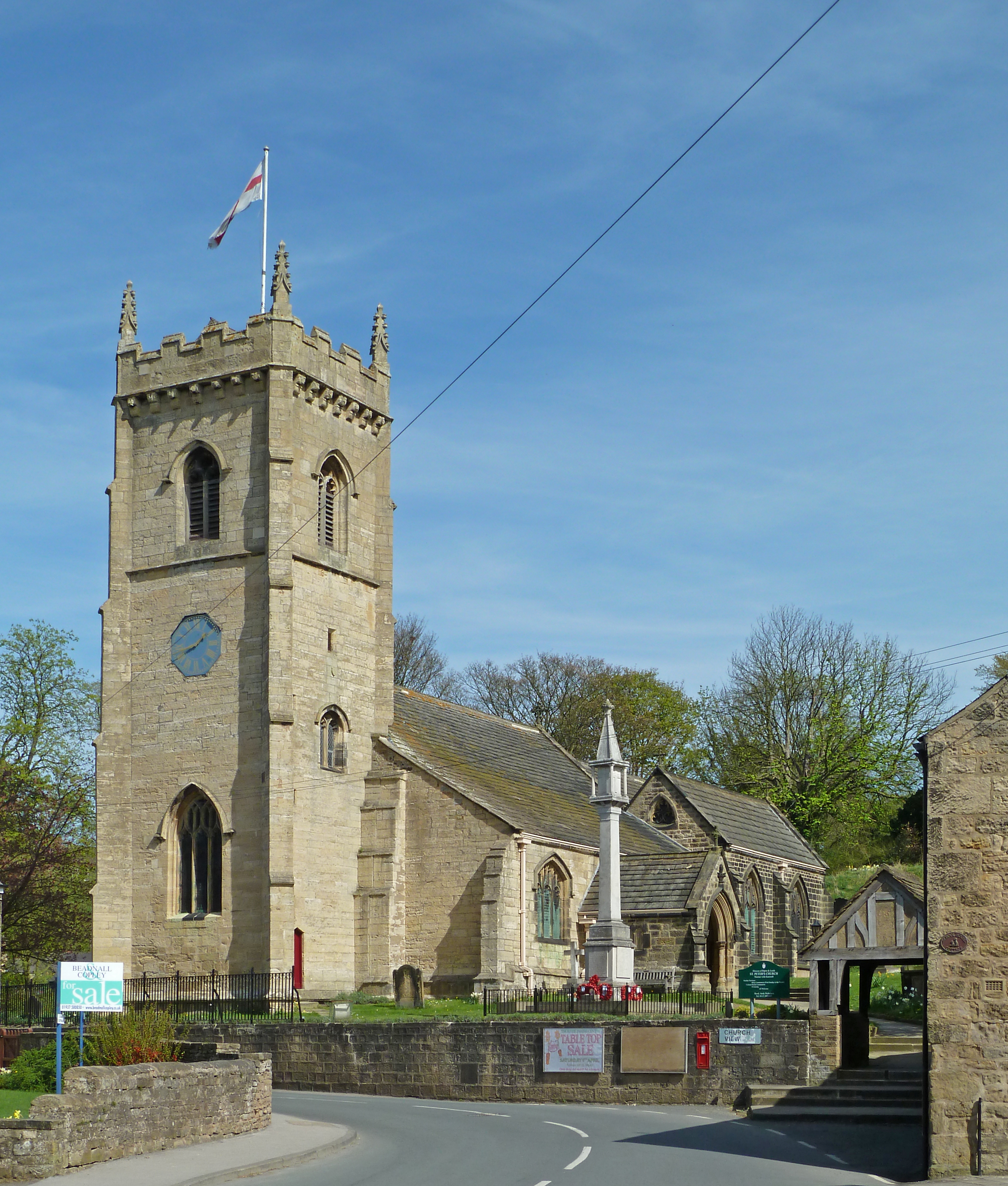
St Peter's Church, Thorner
St. Peter's Church in Thorner, West Yorkshire, England is an active Anglican parish church in the archdeaconry of Leeds and the Diocese of Leeds. The church...
Nearby Amenities
Located within 500m of 53.865772,-1.4440942Have you been to Horse Wood?
Leave your review of Horse Wood below (or comments, questions and feedback).