Scarcroft
Settlement in Yorkshire
England
Scarcroft
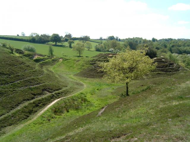
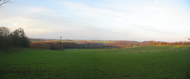
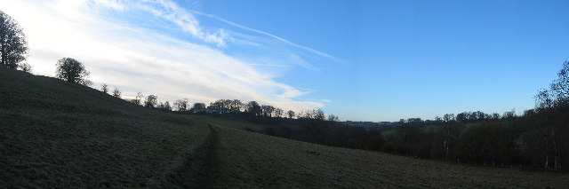
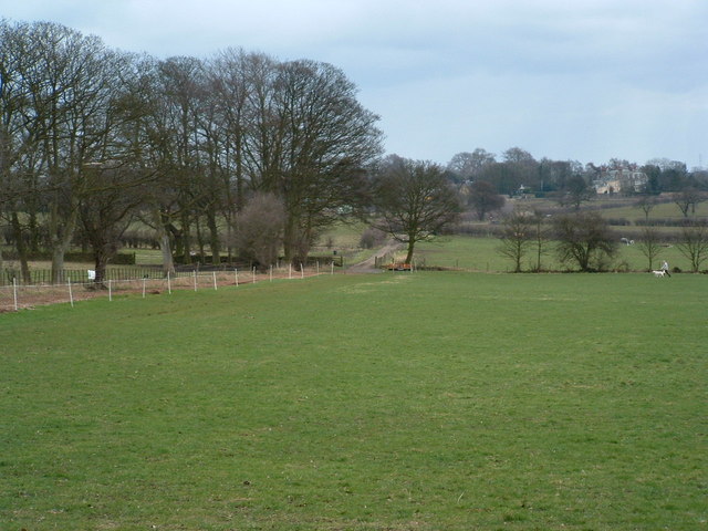
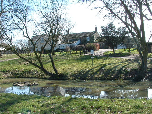
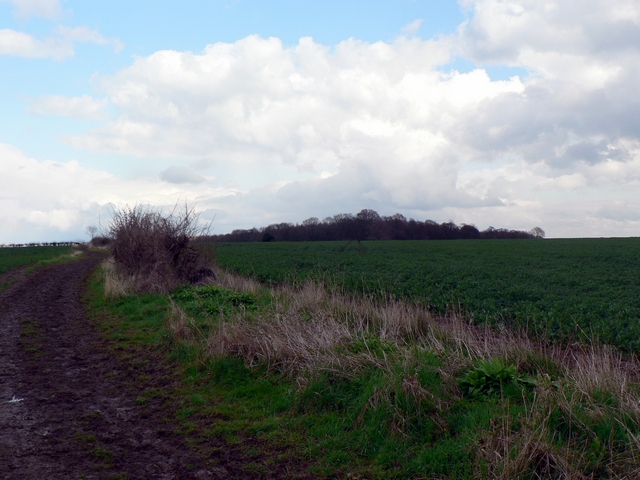
Scarcroft is a picturesque village located in the county of Yorkshire, England. Situated approximately 7 miles northeast of Leeds, it falls within the Leeds City Council area. The village is set amidst beautiful countryside, surrounded by rolling hills and verdant fields, offering its residents a tranquil and idyllic setting.
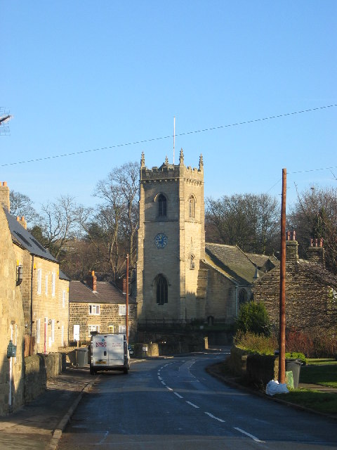
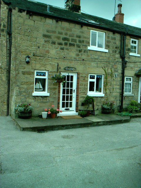
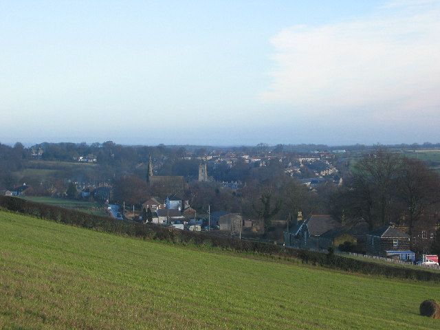
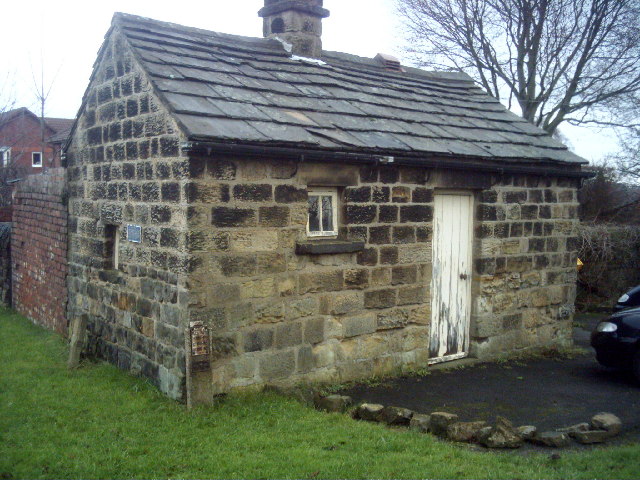
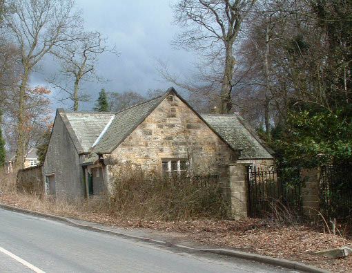
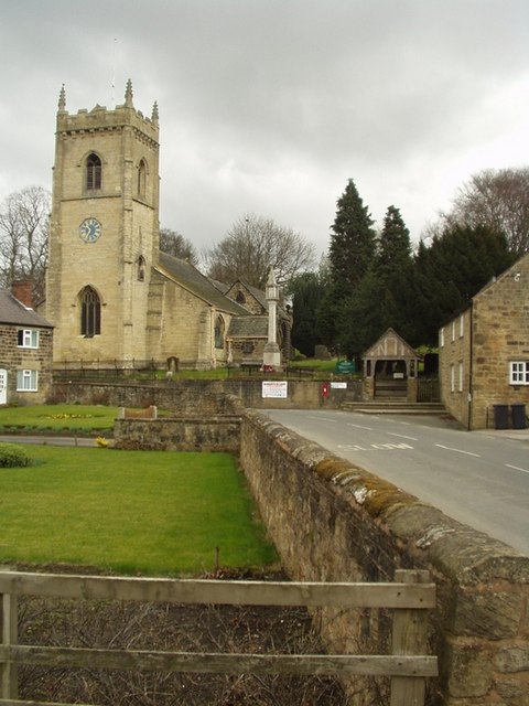
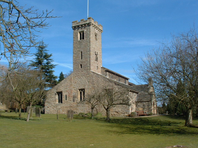
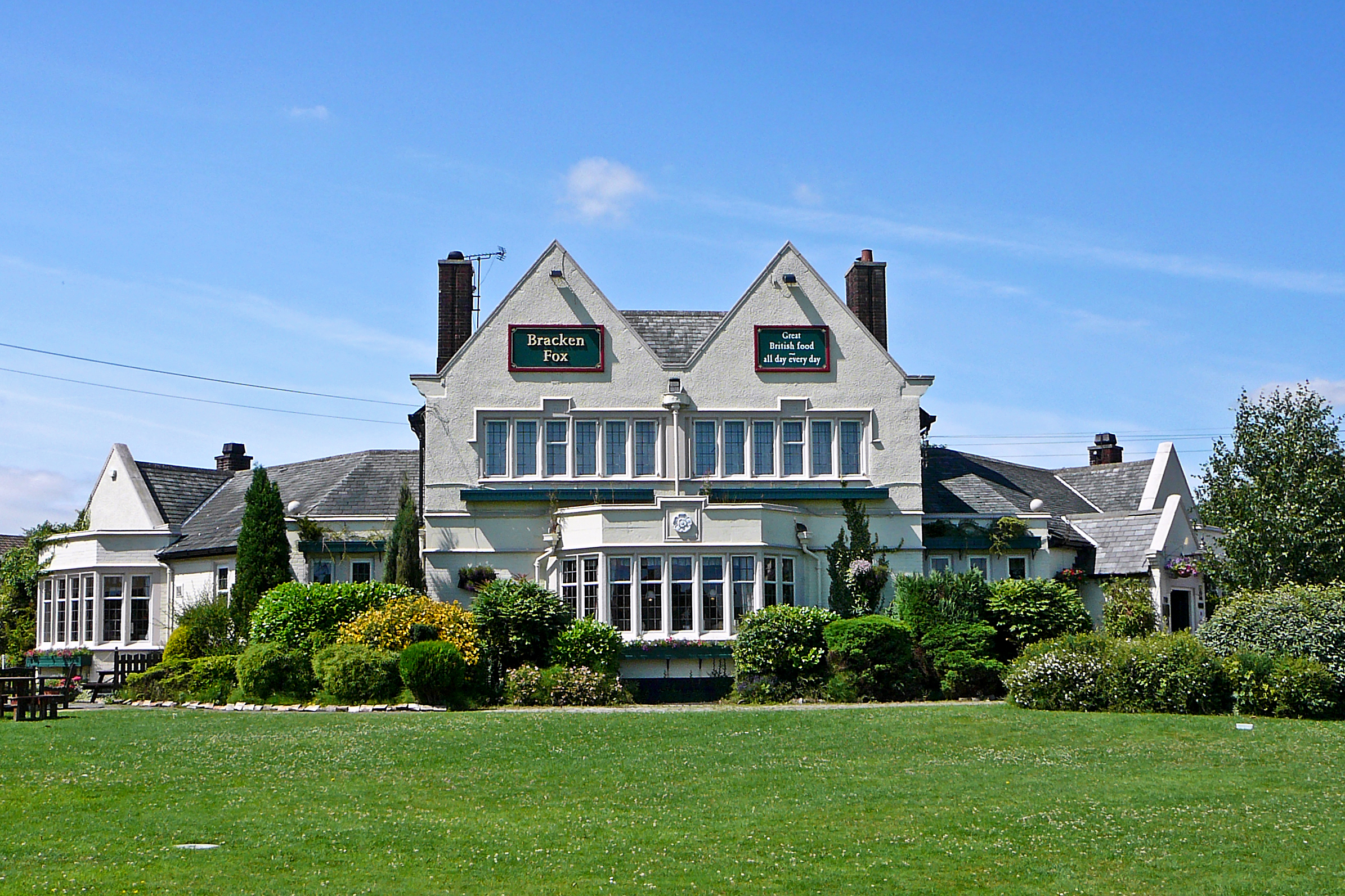
Scarcroft is characterized by its charming and well-preserved architecture, with a mix of traditional stone-built cottages and grander period houses. The village center features a small but vibrant community, boasting a local pub, a village hall, and a church, all of which contribute to its close-knit and friendly atmosphere.
The village benefits from excellent transport links, with easy access to the nearby A58 road, connecting it to Leeds and other surrounding towns. Additionally, the Leeds Bradford Airport is just a short drive away, facilitating travel both domestically and internationally.
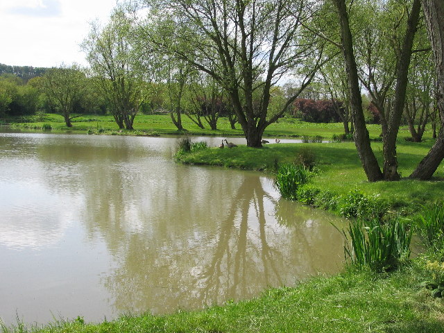
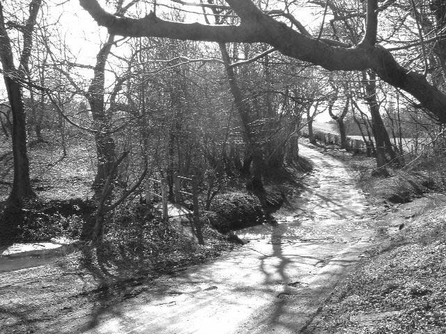
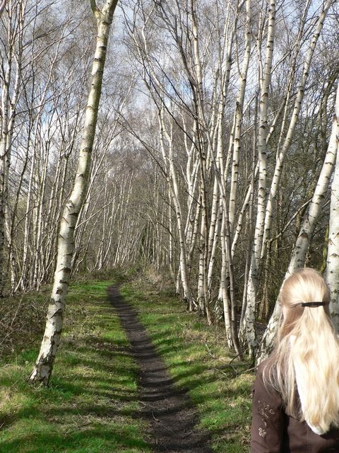
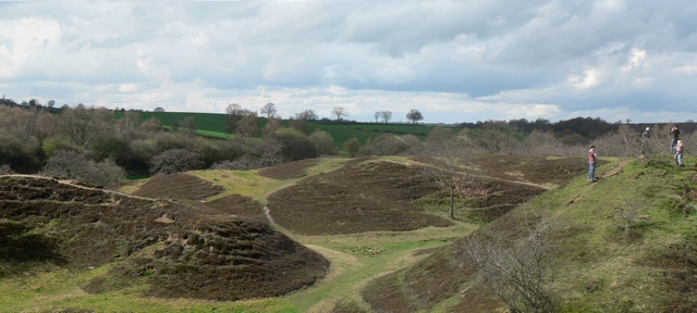
Scarcroft is surrounded by ample green spaces, making it an ideal location for outdoor enthusiasts. The village is in close proximity to the stunning Harewood House, a magnificent stately home with extensive gardens and parkland, providing opportunities for leisurely walks and picnics.
Education is well catered for in Scarcroft, with several reputed schools located in the vicinity. The village also offers a range of amenities, including local shops and services, ensuring residents have easy access to daily necessities.
Overall, Scarcroft is a charming and desirable village, offering a peaceful rural lifestyle within easy reach of urban amenities. Its natural beauty, strong sense of community, and convenient location make it an appealing place to live or visit in Yorkshire.
If you have any feedback on the listing, please let us know in the comments section below.
Scarcroft Images
Images are sourced within 2km of 53.871685/-1.446304 or Grid Reference SE3641. Thanks to Geograph Open Source API. All images are credited.
Scarcroft is located at Grid Ref: SE3641 (Lat: 53.871685, Lng: -1.446304)
Division: West Riding
Unitary Authority: Leeds
Police Authority: West Yorkshire
What 3 Words
///detective.pointer.trading. Near Scarcroft, West Yorkshire
Nearby Locations
Related Wikis
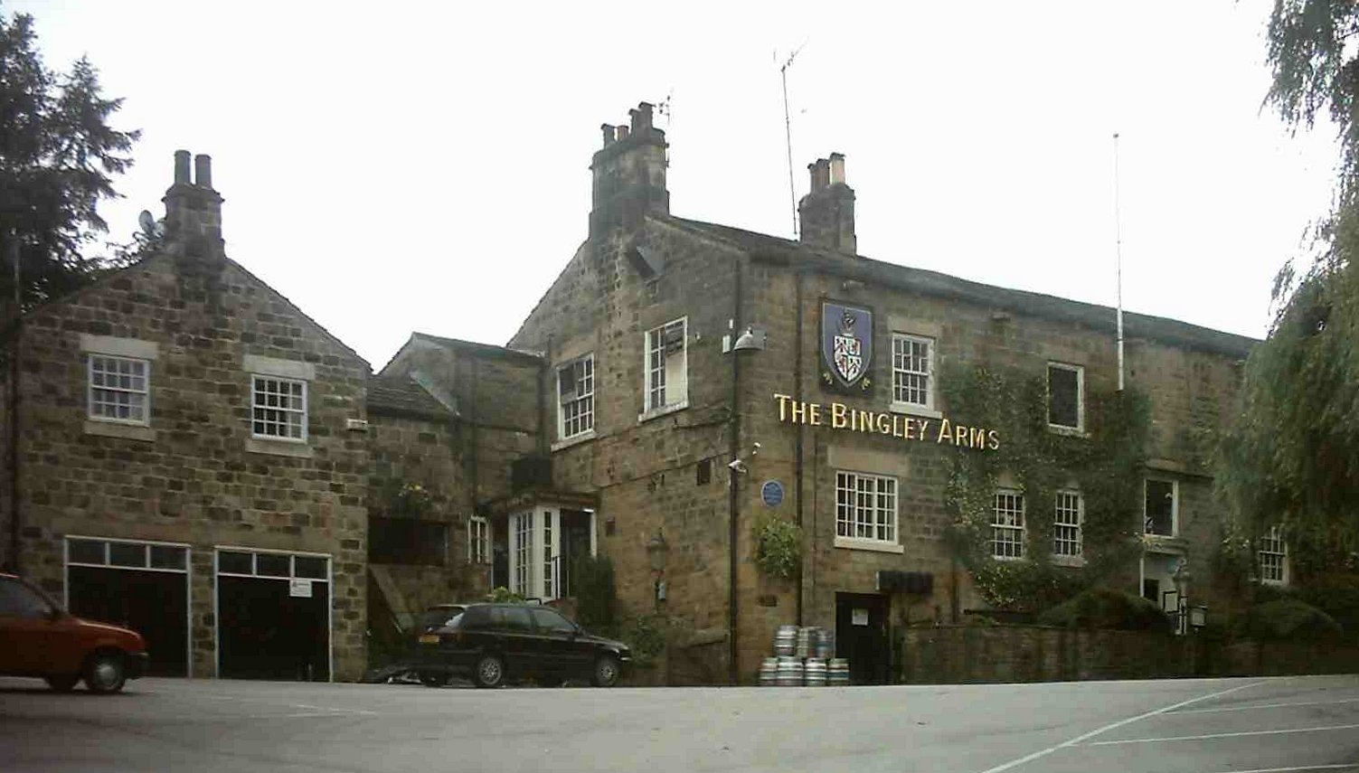
The Bingley Arms
The Bingley Arms is a public house in Bardsey, Leeds, West Yorkshire, England. It claims to be both the oldest surviving business and oldest surviving...
Bardsey cum Rigton
Bardsey cum Rigton is a civil parish in the City of Leeds metropolitan borough in West Yorkshire, England. According to the 2001 census it had a population...
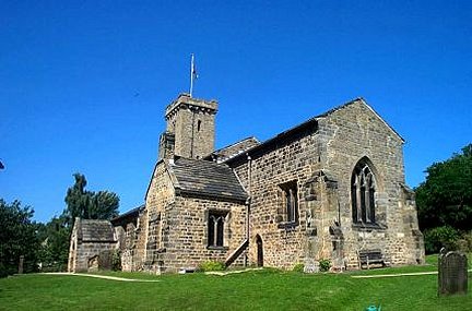
All Hallows Church, Bardsey
All Hallows Church in Bardsey, West Yorkshire, England is an active Anglican parish church in the archdeaconry of Leeds and the Diocese of Leeds. The Bardsey...
Bardsey, West Yorkshire
Bardsey, West Yorkshire, England is a small village in the City of Leeds metropolitan borough, 8 miles (13 km) north east of Leeds city centre. The village...
Scarcroft
Scarcroft is a village and civil parish 6 miles (10 km) north east of Leeds city centre in the City of Leeds metropolitan borough, West Yorkshire, England...

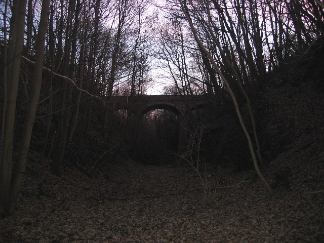
Thorner railway station
Thorner railway station was a station in Thorner, West Yorkshire, England, on the Cross Gates–Wetherby line. It opened on 1 May 1876 and closed on 6 January...

Bardsey railway station
Bardsey railway station was a railway station on the Cross Gates to Wetherby line serving the village of Bardsey, West Yorkshire connecting it with the...

East Rigton
East Rigton is a hamlet in West Yorkshire, England, immediately to the east of Bardsey. == Etymology == The name of East Rigton is first attested in the...
Nearby Amenities
Located within 500m of 53.871685,-1.446304Have you been to Scarcroft?
Leave your review of Scarcroft below (or comments, questions and feedback).