Swainthornes Wood
Wood, Forest in Yorkshire Harrogate
England
Swainthornes Wood
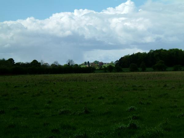
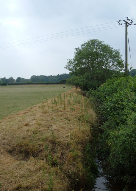
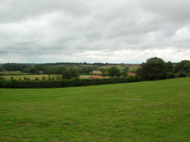
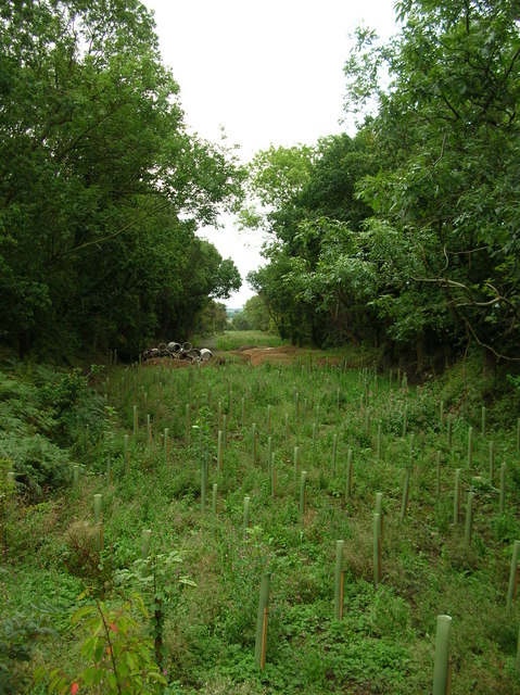
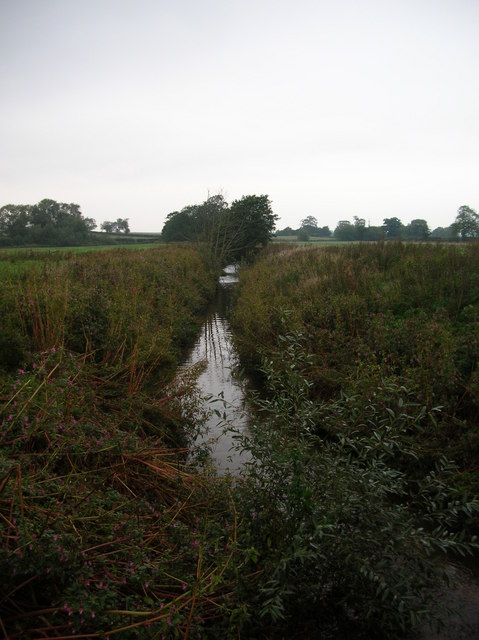
Swainthornes Wood is a picturesque woodland located in Yorkshire, England. Situated in the heart of the county, this enchanting forest covers an area of approximately 100 acres, boasting a diverse range of flora and fauna. It is a popular destination for nature lovers, hikers, and outdoor enthusiasts.
The wood is primarily composed of deciduous trees, including oak, beech, and birch, which create a stunning tapestry of colors throughout the year. In spring, vibrant blossoms and wildflowers carpet the forest floor, while in autumn, the trees transform into a kaleidoscope of reds, yellows, and oranges, making it an ideal spot for capturing breathtaking photographs.
The woodland is crisscrossed by an extensive network of well-maintained trails, allowing visitors to explore its hidden gems at their own pace. These trails meander through the forest, leading to tranquil streams, charming meadows, and secret clearings, providing a sense of peace and tranquility.
Swainthornes Wood is also a haven for wildlife. Visitors may spot various species of birds, including woodpeckers, owls, and songbirds, as well as small mammals such as rabbits, squirrels, and foxes. The wood is also home to a wide range of insects, butterflies, and other invertebrates, offering endless opportunities for nature enthusiasts to observe and appreciate the local biodiversity.
For those seeking a break from the hustle and bustle of everyday life, Swainthornes Wood offers a serene and idyllic retreat. Its natural beauty, abundant wildlife, and well-maintained trails make it a perfect destination for anyone looking to immerse themselves in the peaceful embrace of nature.
If you have any feedback on the listing, please let us know in the comments section below.
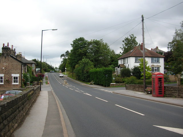
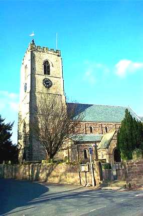
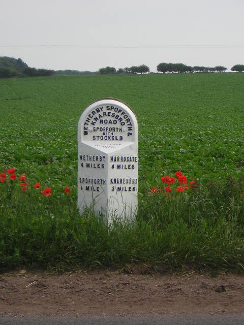
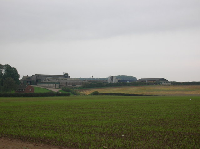
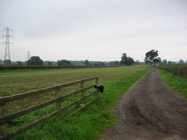
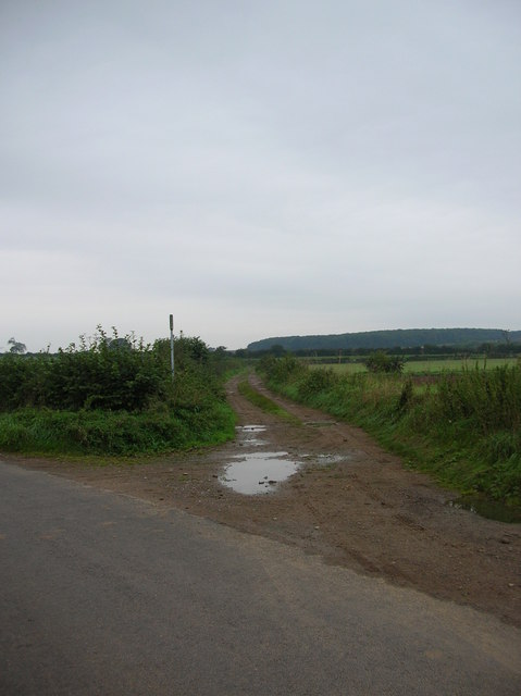
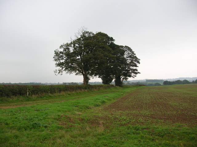
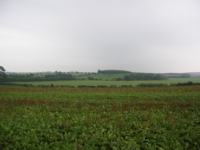
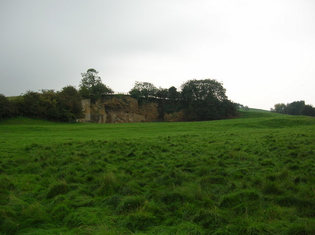
Swainthornes Wood Images
Images are sourced within 2km of 53.968038/-1.442689 or Grid Reference SE3652. Thanks to Geograph Open Source API. All images are credited.
Swainthornes Wood is located at Grid Ref: SE3652 (Lat: 53.968038, Lng: -1.442689)
Division: West Riding
Administrative County: North Yorkshire
District: Harrogate
Police Authority: North Yorkshire
What 3 Words
///corrode.reactions.averages. Near Spofforth, North Yorkshire
Nearby Locations
Related Wikis

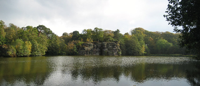
Plumpton Rocks
Plumpton Rocks is a man-made lake and surrounding pleasure gardens 3.5 miles (5.6 km) south-east of Harrogate in North Yorkshire, England, near the village...

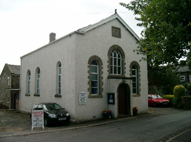
All Saints' Church, Spofforth, North Yorkshire
All Saints Church is an Anglican church in the parish of Spofforth and Kirk Deighton in North Yorkshire, England. == History == The earliest parts of the...
Spofforth, North Yorkshire
Spofforth is a village in the civil parish of Spofforth with Stockeld in the Harrogate district of North Yorkshire, England, about 3 miles (4.8 km) north...
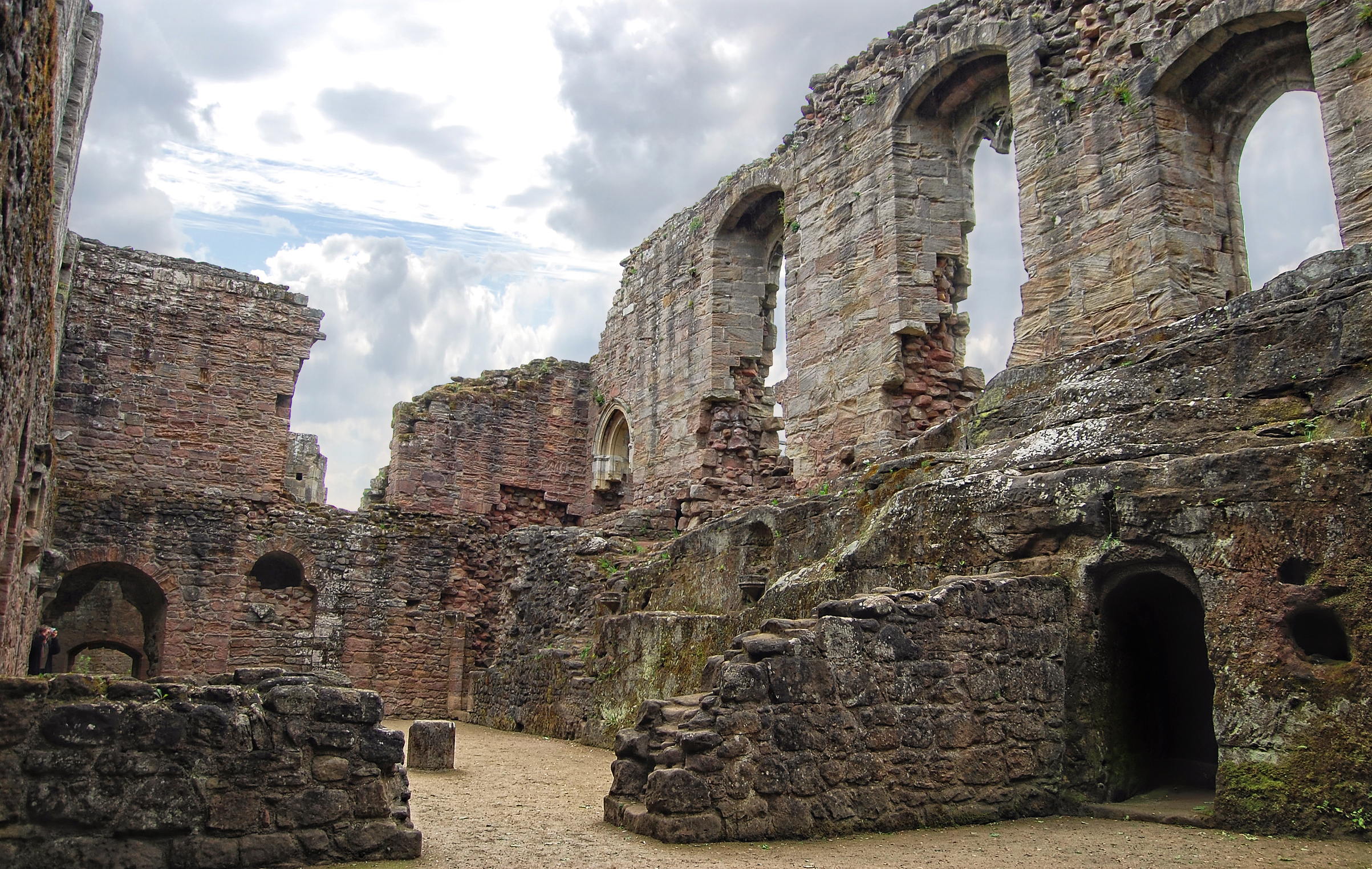
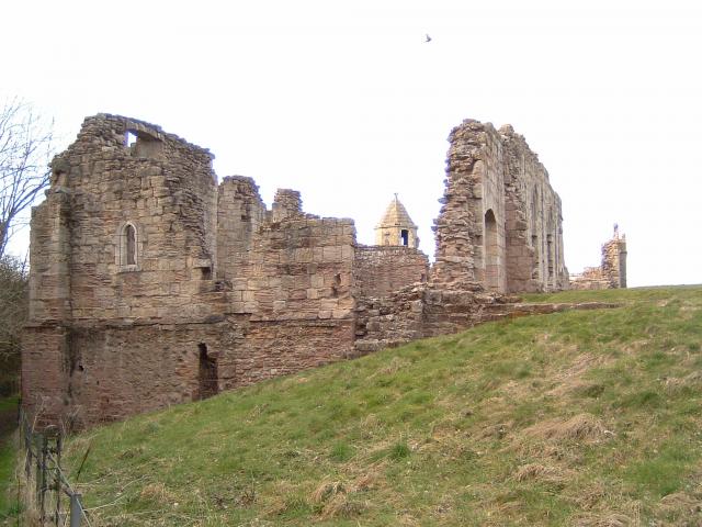
Spofforth Castle
Spofforth Castle in the village of Spofforth, North Yorkshire, England was a fortified manor house, ruined during the English Civil War and now run by...
Nearby Amenities
Located within 500m of 53.968038,-1.442689Have you been to Swainthornes Wood?
Leave your review of Swainthornes Wood below (or comments, questions and feedback).