York Hill
Hill, Mountain in Yorkshire Harrogate
England
York Hill
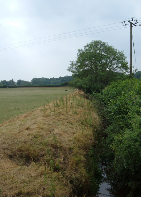
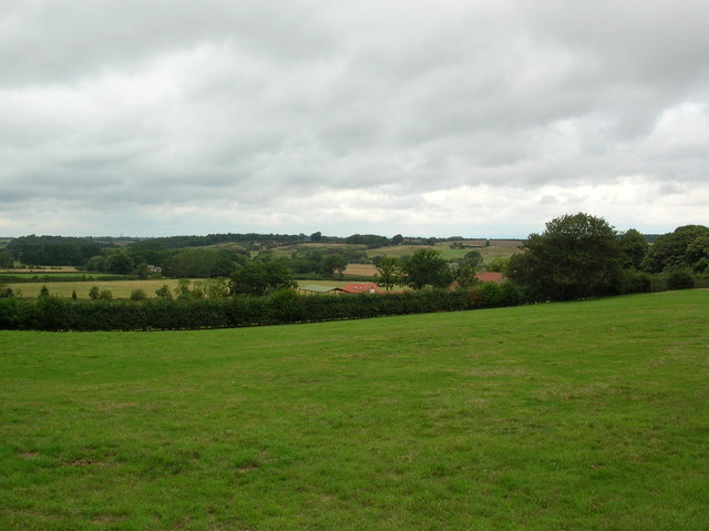
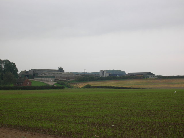
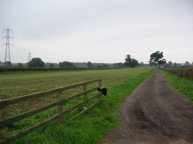
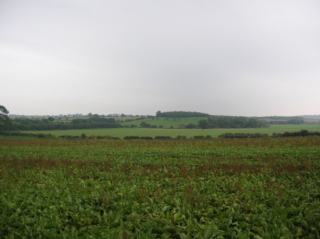
York Hill is a prominent geographical feature located in the county of Yorkshire, England. Situated in the southern part of the county, it is part of the rolling Yorkshire Dales landscape, characterized by its picturesque beauty and rich natural resources. Rising to an elevation of approximately 300 meters (984 feet), York Hill stands as an impressive hill in the region, offering breathtaking panoramic views of the surrounding countryside.
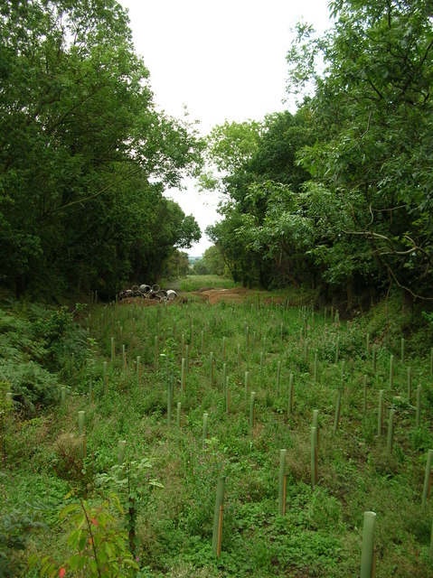
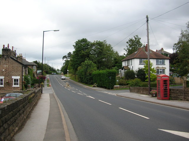
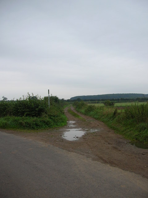
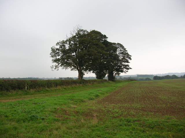
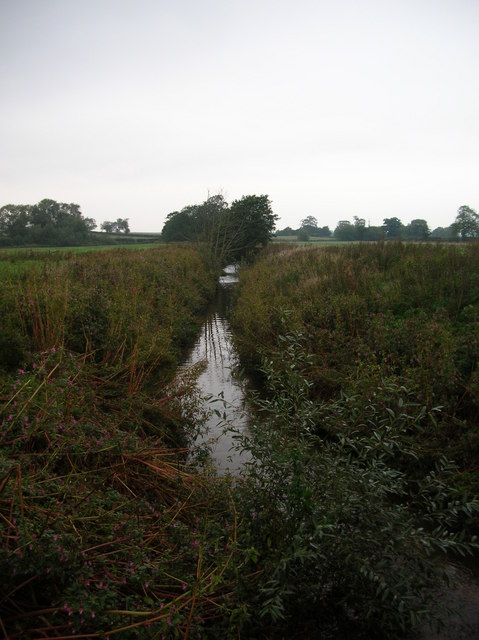
The hill is covered in lush green vegetation, primarily consisting of grasslands and scattered patches of woodland. These habitats provide a thriving environment for a diverse range of flora and fauna, including various species of wildflowers, birds, and small mammals. The hill is also home to several footpaths and trails, making it a popular destination for hikers, nature enthusiasts, and tourists seeking outdoor recreational activities.
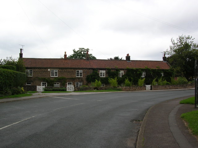
The area surrounding York Hill is dotted with charming rural villages and hamlets, adding to its allure. The picturesque Yorkshire Dales National Park encompasses a significant portion of the region, attracting visitors from far and wide with its stunning landscapes, quaint villages, and traditional Yorkshire hospitality.
In addition to its natural beauty, York Hill holds historical significance as well. Evidence of ancient settlements and archaeological sites can be found in the vicinity, providing a glimpse into the area's rich and fascinating past.
Overall, York Hill is a captivating natural landmark in Yorkshire, offering visitors a chance to immerse themselves in the region's stunning scenery, explore its diverse wildlife, and uncover its intriguing history.
If you have any feedback on the listing, please let us know in the comments section below.
York Hill Images
Images are sourced within 2km of 53.968089/-1.4438164 or Grid Reference SE3652. Thanks to Geograph Open Source API. All images are credited.
York Hill is located at Grid Ref: SE3652 (Lat: 53.968089, Lng: -1.4438164)
Division: West Riding
Administrative County: North Yorkshire
District: Harrogate
Police Authority: North Yorkshire
What 3 Words
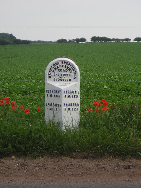
///object.joys.adventure. Near Spofforth, North Yorkshire
Nearby Locations
Related Wikis

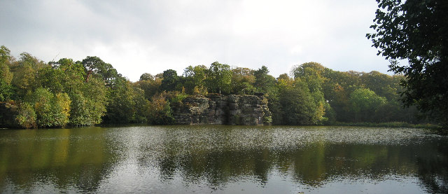
Plumpton Rocks
Plumpton Rocks is a man-made lake and surrounding pleasure gardens 3.5 miles (5.6 km) south-east of Harrogate in North Yorkshire, England, near the village...

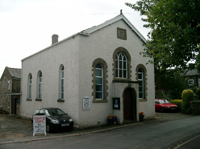
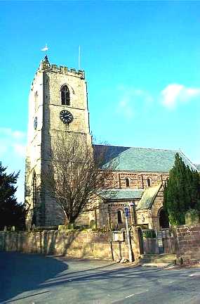
All Saints' Church, Spofforth, North Yorkshire
All Saints Church is an Anglican church in the parish of Spofforth and Kirk Deighton in North Yorkshire, England. == History == The earliest parts of the...
Spofforth, North Yorkshire
Spofforth is a village in the civil parish of Spofforth with Stockeld in the Harrogate district of North Yorkshire, England, about 3 miles (4.8 km) north...
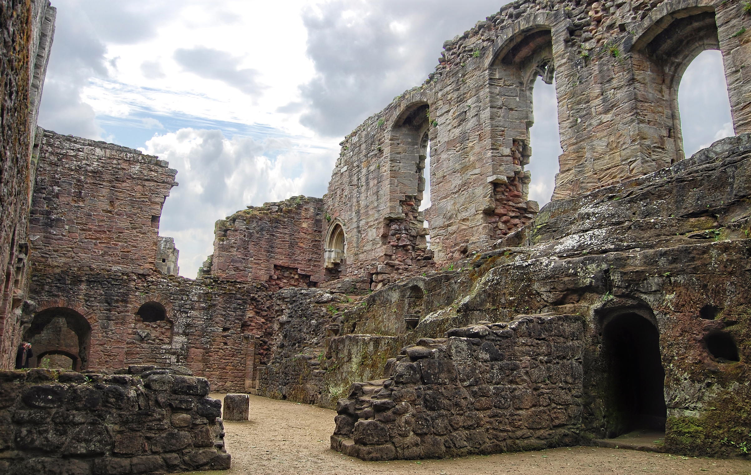
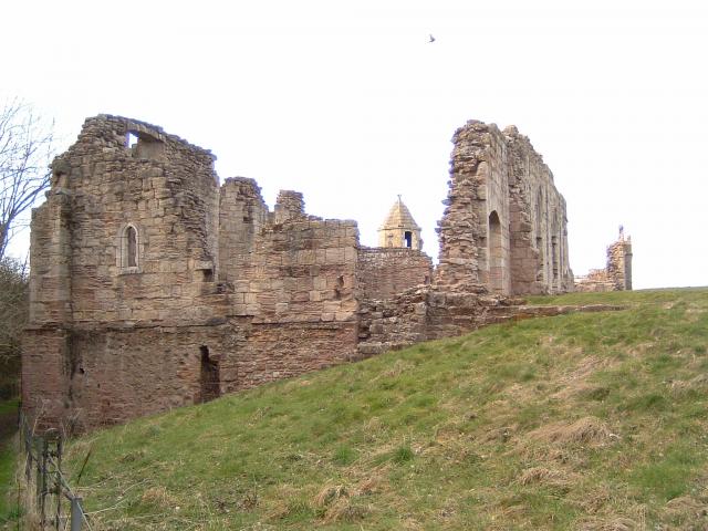
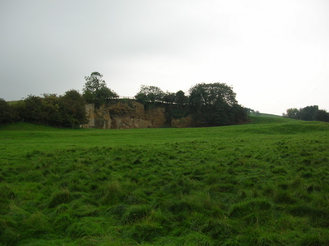
Spofforth Castle
Spofforth Castle in the village of Spofforth, North Yorkshire, England was a fortified manor house, ruined during the English Civil War and now run by...

Spofforth railway station
Spofforth railway station was a station on the Harrogate–Church Fenton line in Spofforth, North Yorkshire. == History == The station opened on 10 August...
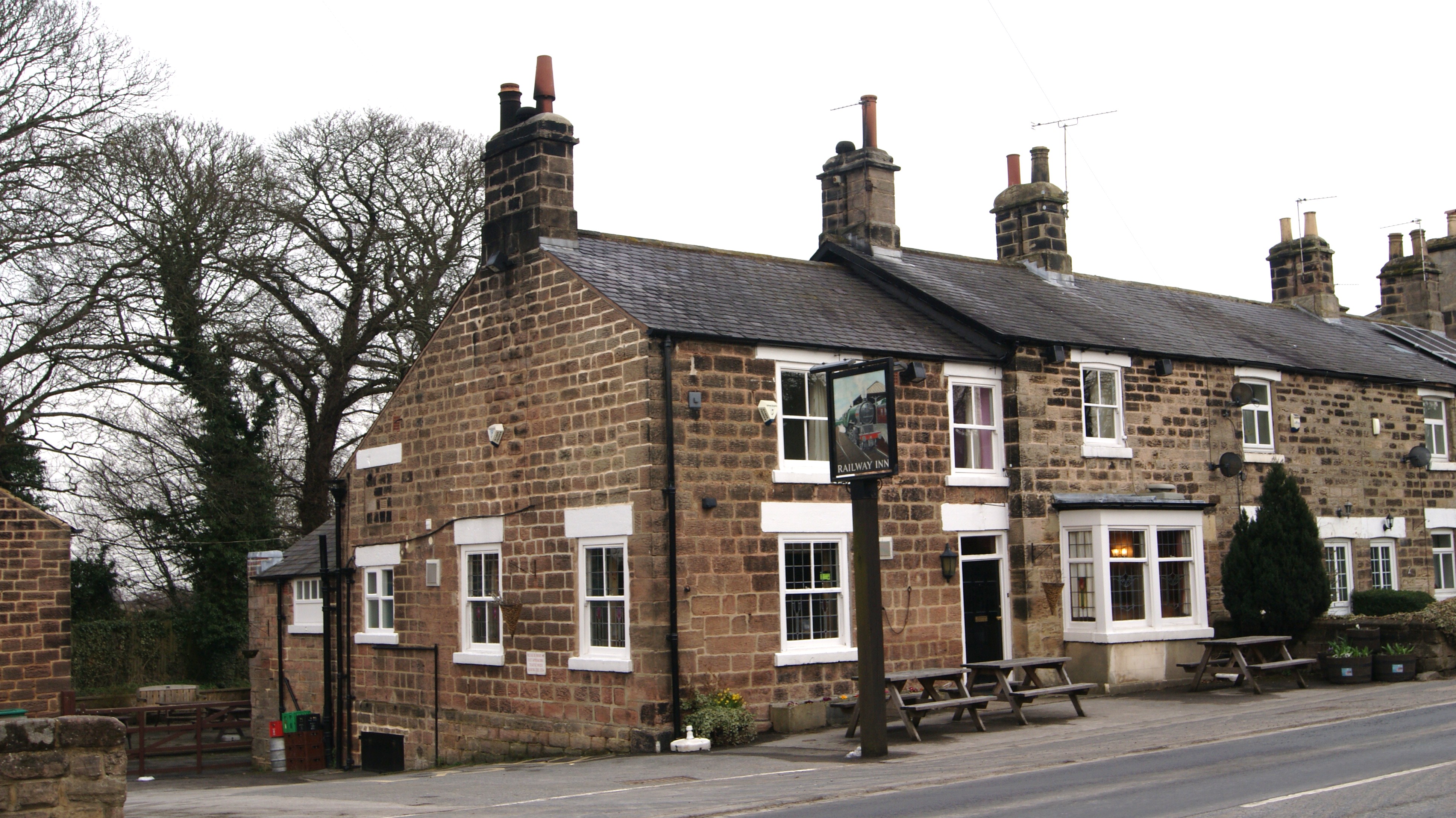
Railway Inn, Spofforth
The Railway Inn is a pub in Spofforth, North Yorkshire, England. == Description == The Railway Inn is a typical English pub with both a public bar and...

Spofforth with Stockeld
Spofforth with Stockeld is a civil parish in the Harrogate district of North Yorkshire, England. According to the 2001 UK census, Spofforth with Stockeld...

Little Ribston
Little Ribston is a village and civil parish in the Harrogate district of North Yorkshire, England. Little Ribston is located on the River Nidd, 4 miles...
Nearby Amenities
Located within 500m of 53.968089,-1.4438164Have you been to York Hill?
Leave your review of York Hill below (or comments, questions and feedback).