Gilly Hill

Hill, Mountain in Durham

England

Gilly Hill

Yarm Lane Byway Yarm Lane Byway has been closed to all but pedestrian users since 2021. The current closure notice as of October 2023 runs to 2024 or until repair works are completed, whichever is soonest.
Yarm Lane Byway Credit: David Robinson

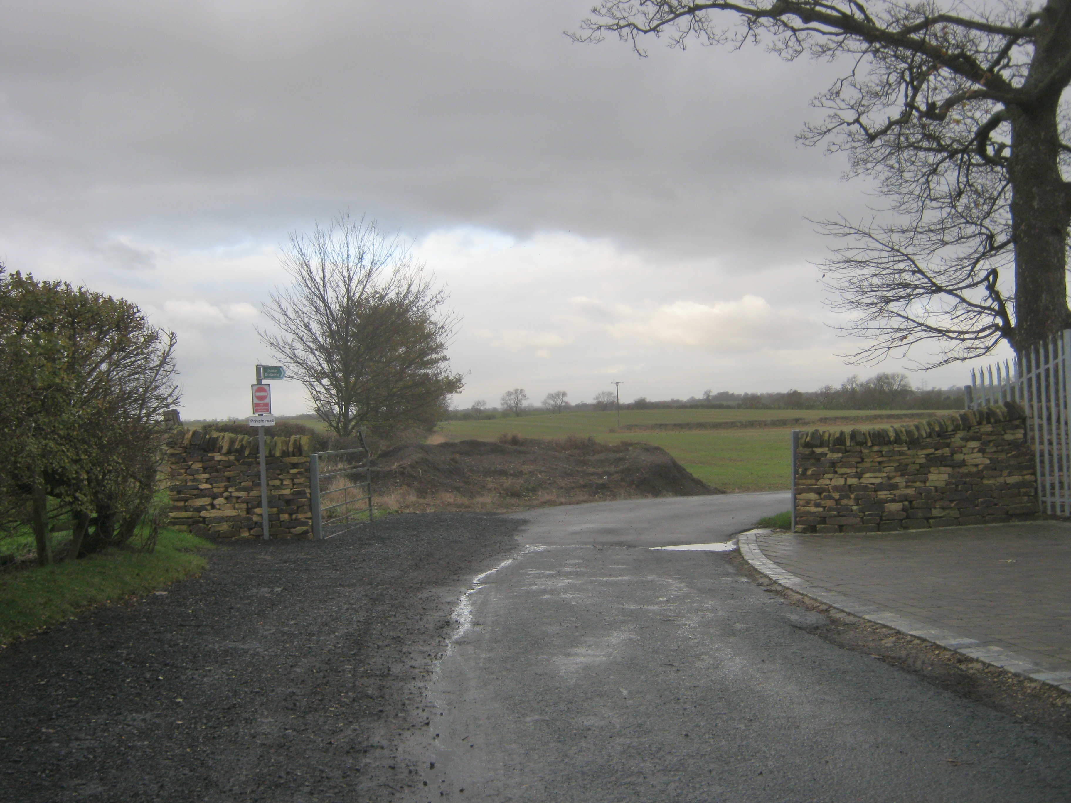
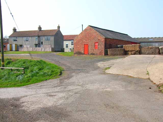
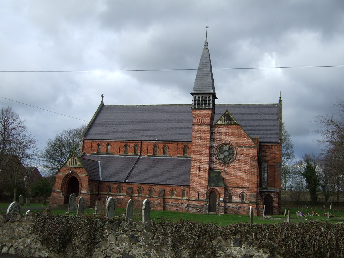
Gilly Hill, also known as Gilesgate Hill, is a prominent geographical feature located in the city of Durham, in County Durham, England. Situated in the eastern part of the city, Gilly Hill forms a striking backdrop to the area's landscape and has significant historical and cultural importance.

Rising to an elevation of approximately 60 meters (200 feet), Gilly Hill is not a mountain in the traditional sense, but rather a small hill. Despite its modest size, it offers breathtaking views of the surrounding area, including the historic city of Durham, the River Wear, and the iconic Durham Cathedral.

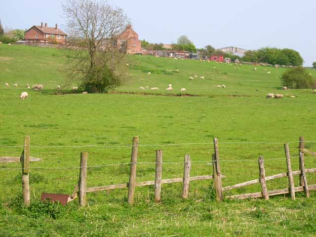
The hill itself is covered in lush greenery, featuring a mix of grassy slopes, trees, and shrubs. It serves as a popular spot for outdoor activities such as walking, jogging, and picnicking, with several footpaths and trails traversing its slopes. At the top of the hill, visitors can find a small park area, providing benches and seating areas to relax and enjoy the panoramic vistas.

Gilly Hill has a rich history, with evidence of human settlement dating back to the Roman era. Its strategic location made it an ideal spot for defensive purposes, and remnants of ancient earthworks and fortifications can still be seen today. The hill has witnessed various historical events and has played a role in the city's development over the centuries.

Overall, Gilly Hill is a picturesque and culturally significant landmark in Durham, offering visitors both natural beauty and a glimpse into the area's past.

If you have any feedback on the listing, please let us know in the comments section below.
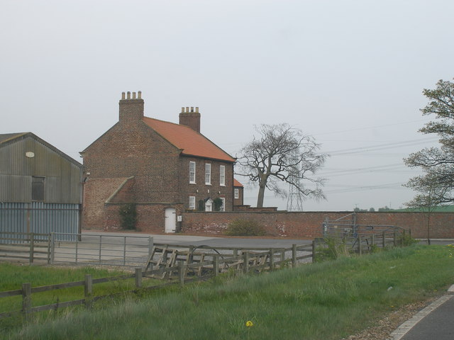
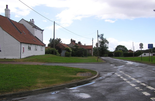
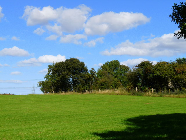
Gilly Hill Images

Images are sourced within 2km of 54.619826/-1.4346274 or Grid Reference NZ3625. Thanks to Geograph Open Source API. All images are credited.

Yarm Lane Byway Yarm Lane Byway has been closed to all but pedestrian users since 2021. The current closure notice as of October 2023 runs to 2024 or until repair works are completed, whichever is soonest.
Yarm Lane Byway
Yarm Lane Byway has been closed to all but pedestrian users since 2021. The current closure notice as of October 2023 runs to 2024 or until repair works are completed, whichever is soonest.
West Layton farm from Yarm Lane byway
Farm track and bridleway to Shotton
Derelict houses, Shotton Shotton, south of Sedgefield - not to be confused with other larger villages of the same or similar name in County Durham - is listed as a village but consists mainly of a number of large agricultural buildings. The derelict housing shown here in 2023 has changed little since shown in other images dating back to 2006. <a href="https://www.geograph.org.uk/gridref/NZ3625">NZ3625</a>
Derelict houses, Shotton
Shotton, south of Sedgefield - not to be confused with other larger villages of the same or similar name in County Durham - is listed as a village but consists mainly of a number of large agricultural buildings. The derelict housing shown here in 2023 has changed little since shown in other images dating back to 2006. NZ3625
Thou shalt not pass Inquisitive cattle on the bridleway to Shotton.
Thou shalt not pass
Inquisitive cattle on the bridleway to Shotton.
Weighbridge at North Farm, Foxton
Victorian era postbox VR embossed postbox, no longer in use, built into the side of a farm building at Foxton.
Victorian era postbox
VR embossed postbox, no longer in use, built into the side of a farm building at Foxton.
Foxton Lane
Foxton Lane
Track to West House
Track to West House
Heley House
Heley House
Triangulation Pillar at West House Field Farm
Allotments at Stillington
Stillington Industrial Estate Quite a sizeable industrial estate is attached to this large village
Stillington Industrial Estate
Quite a sizeable industrial estate is attached to this large village
Wall-to-wall oilseed rape On the private road through Foxton that runs through from Stillington to Sedgefield
Wall-to-wall oilseed rape
On the private road through Foxton that runs through from Stillington to Sedgefield
Private road to Foxton This private road, tarmac throughout, runs from Stillington to Sedgefield.
Private road to Foxton
This private road, tarmac throughout, runs from Stillington to Sedgefield.
Private road near Shotton This private road, tarmac throughout, runs from Stillington to Sedgefield via Shotton and Foxton. But cyclists are expected to follow the field-edge track on pain of a £1000 fine! How petty can you get?
Private road near Shotton
This private road, tarmac throughout, runs from Stillington to Sedgefield via Shotton and Foxton. But cyclists are expected to follow the field-edge track on pain of a £1000 fine! How petty can you get?
Shotton, near Sedgefield This very remote farm lies on a private road between Stillington and Sedgefield
Shotton, near Sedgefield
This very remote farm lies on a private road between Stillington and Sedgefield
Foxton, near Sedgefield A very remote hamlet consisting of a farm and several barn conversions on a private road between Stillington and Sedgefield.
Foxton, near Sedgefield
A very remote hamlet consisting of a farm and several barn conversions on a private road between Stillington and Sedgefield.
Show me another place!

Gilly Hill is located at Grid Ref: NZ3625 (Lat: 54.619826, Lng: -1.4346274)

Unitary Authority: County Durham

Police Authority: Durham

What 3 Words

///beard.transit.woof. Near Stillington, Co. Durham

Related Wikis

Foxton, County Durham

Foxton is a small village in County Durham, England. It is situated to the north-west of Stockton-on-Tees, near Stillington. The origin of the place-name...

Shotton, Sedgefield

Shotton is a village in County Durham, in England. It is situated to the north-west of Stockton-on-Tees. == Governance == An electoral ward with the same...

Stillington, County Durham

Stillington is a village and former civil parish, now in the parish of Stillington and Whitton, in the Stockton-on-Tees district, in the ceremonial county...

Old Stillington

Old Stillington is a village in County Durham, in England. It is situated a few miles to the north-west of Stockton-on-Tees, and a short distance from...

Thorpe Larches

Thorpe Larches is a small hamlet in County Durham in North East England, situated between Sedgefield and Stockton-on-Tees. There are approximately 21 buildings...

Whitton, County Durham

Whitton is a village and former civil parish, now in the parish of Stillington and Whitton, the borough of Stockton-on-Tees and the ceremonial county of...

Grindon, County Durham

Grindon is a village and former civil parish, now in the parish of Grindon and Thorpe Thewles, in the Stockton-on-Tees district, in the ceremonial county...

Sedgefield

Sedgefield is a market town and civil parish in County Durham, England. It had a population of 5,211 as at the 2011 census. It has the only operating racecourse...

Related Videos

Mistaking the name of the winner at Sedgefield Race Course

A boy says the wrong name reading out to an audience Mistakes the name Ryan Racing. It is a winning bet not a name of the ...

Nearby Amenities

Located within 500m of 54.619826,-1.4346274
Foxton
Place: hamlet
Source: NPE
Wikidata: Q8565253
Wikipedia: en:Foxton, County Durham
Lat/Long: 54.6177826/-1.4398703
Shotton
Addr City: Stockton-on-Tees
Addr Postcode: TS21 2HY
Place: farm
Source Name: OS_OpenData_StreetView
Source Postcode: CodePoint Open
Lat/Long: 54.6225651/-1.4294297
The data included in this document is from www.openstreetmap.org. The data is made available under ODbL.

Have you been to Gilly Hill?

Leave your review of Gilly Hill below (or comments, questions and feedback).