Owermoigne
Civil Parish in Dorset West Dorset
England
Owermoigne
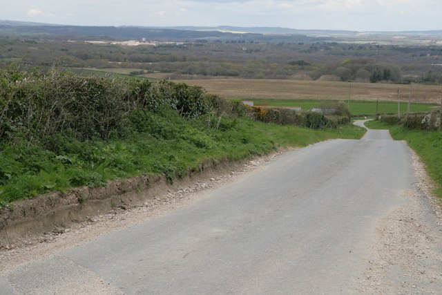
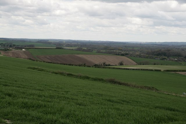
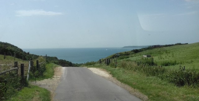
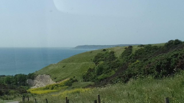
Owermoigne is a civil parish located in the county of Dorset, England. It is situated approximately 7 miles east of the historic town of Dorchester and covers an area of around 10 square miles. The parish is surrounded by beautiful countryside, with rolling hills and picturesque landscapes.
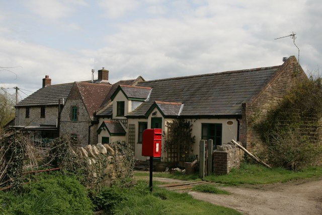
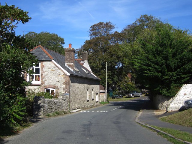
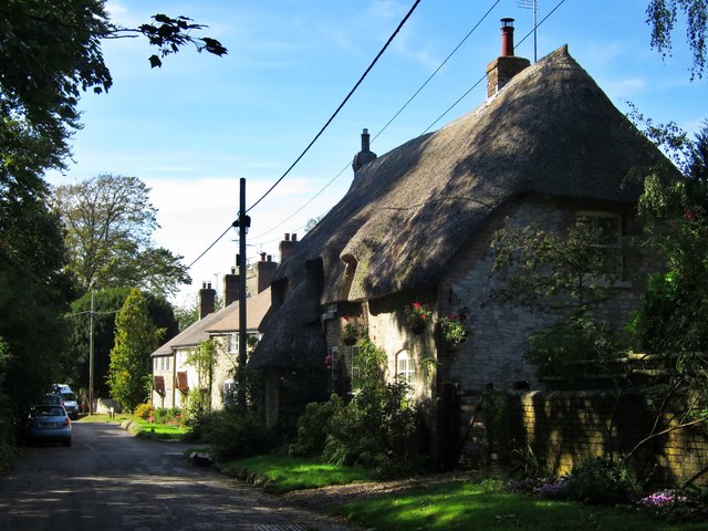
The village of Owermoigne itself is small and quaint, with a population of around 400 residents. It has a rich history, dating back to medieval times, and is mentioned in the Domesday Book of 1086. The village has retained much of its traditional charm, with several thatched cottages and historic buildings still standing.
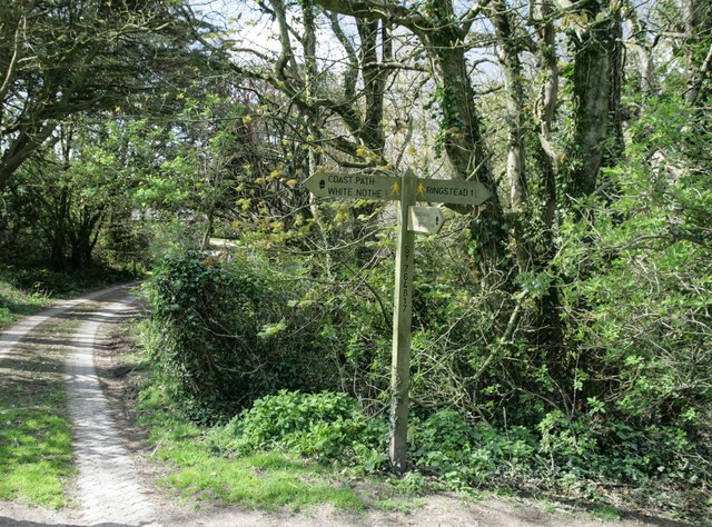
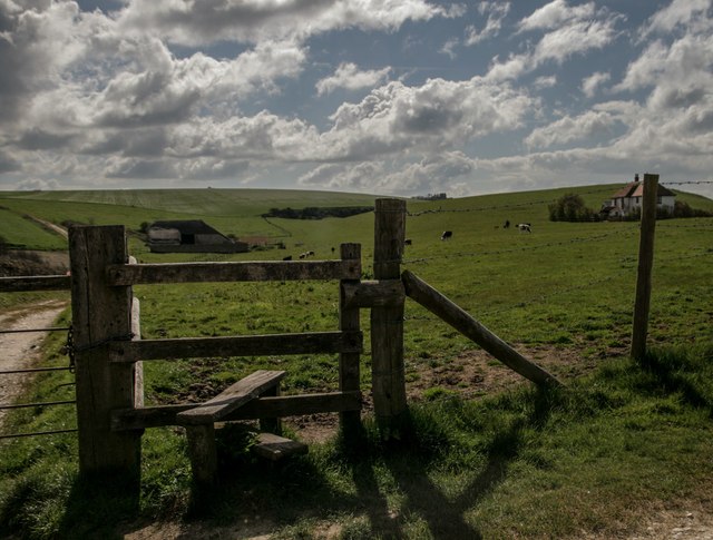
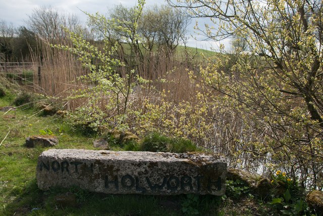
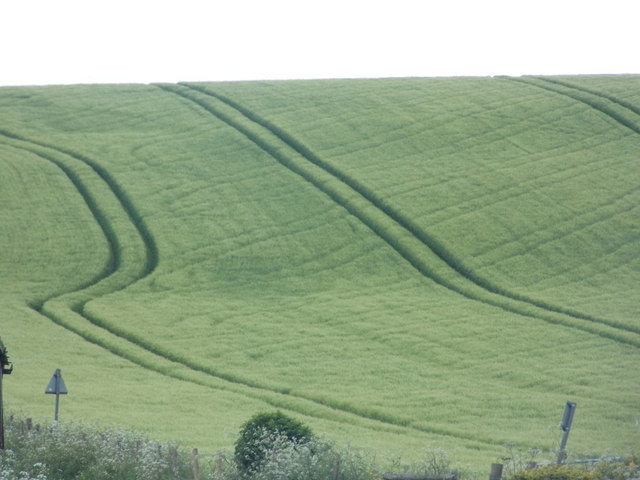
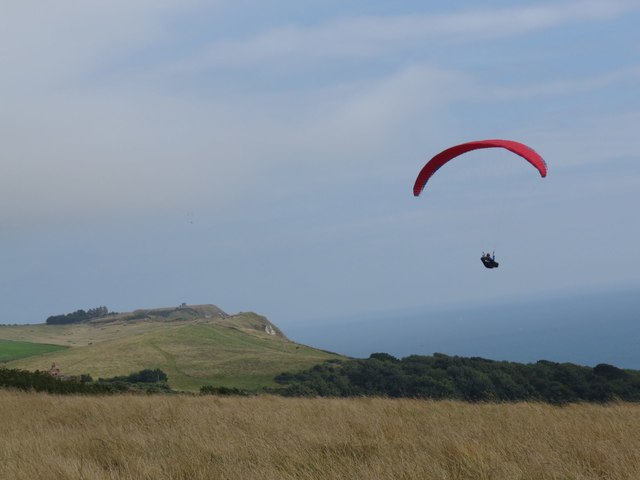
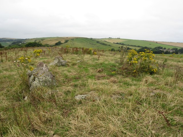
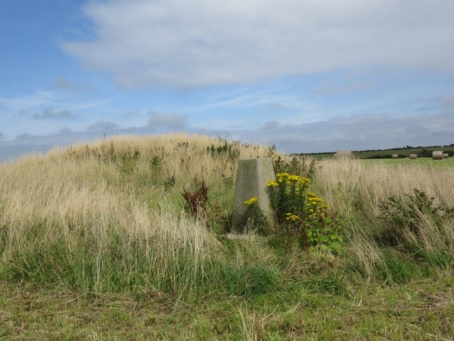
The parish is predominantly rural, with a mix of agricultural land and small hamlets scattered throughout. The landscape is characterized by open fields, woodlands, and hedgerows, providing a habitat for various wildlife species. The area is popular with nature enthusiasts and walkers, with several footpaths and trails crisscrossing the countryside.
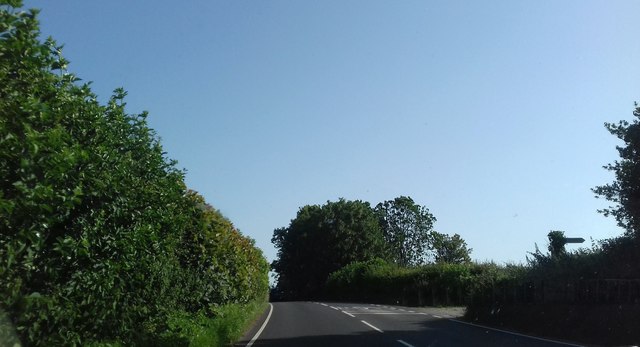
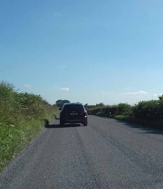
Despite its rural setting, Owermoigne is well-connected to nearby towns and cities. The A352 road runs through the parish, providing easy access to Dorchester, Weymouth, and other nearby locations. The village also has a primary school, a church, and a village hall, which serves as a hub for community activities and events.
Owermoigne offers a tranquil and idyllic setting for those seeking a peaceful rural lifestyle, while still being within reach of amenities and attractions in the surrounding area. Its rich history, natural beauty, and close-knit community make it a desirable place to live or visit in Dorset.
If you have any feedback on the listing, please let us know in the comments section below.
Owermoigne Images
Images are sourced within 2km of 50.652616/-2.342819 or Grid Reference SY7583. Thanks to Geograph Open Source API. All images are credited.


Owermoigne is located at Grid Ref: SY7583 (Lat: 50.652616, Lng: -2.342819)
Administrative County: Dorset
District: West Dorset
Police Authority: Dorset
What 3 Words
///broached.texted.union. Near Overcombe, Dorset
Nearby Locations
Related Wikis

St John's Church, Poxwell
St John's Church was a Church of England church in Poxwell, Dorset, England. It was built in 1867–68 as a replacement to an earlier church and was demolished...

Poxwell
Poxwell (; sometimes written Pokeswell) is a hamlet and civil parish in the county of Dorset in southwest England. It is located 6 miles (9.7 km) east...

Owermoigne
Owermoigne ( OH-ər-MOYN) is a village and civil parish in the county of Dorset in southern England, situated 6 miles (9.7 km) south-east of Dorchester...

RAF Ringstead
RAF Ringstead is a former Royal Air Force radar station at Ringstead Bay, Dorset, England. It is notable for having served three separate functions: first...
Nearby Amenities
Located within 500m of 50.652616,-2.342819Have you been to Owermoigne?
Leave your review of Owermoigne below (or comments, questions and feedback).