Moigns Down
Downs, Moorland in Dorset
England
Moigns Down
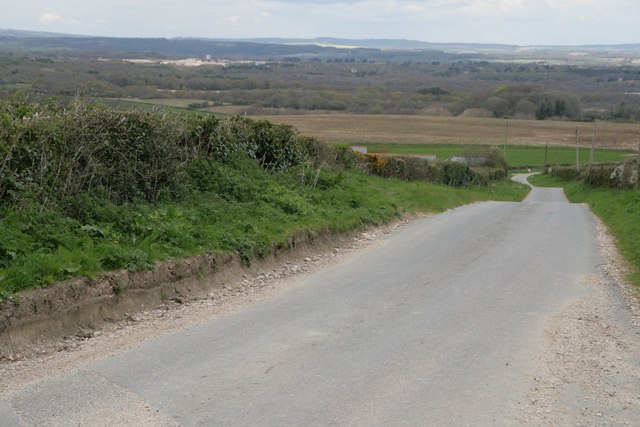
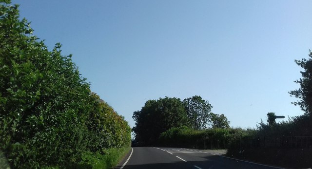
Moigns Down is a picturesque area located in the county of Dorset, England. Situated within the larger expanse of the Dorset Downs, this particular region is known for its unique blend of downs and moorland landscapes, offering visitors a diverse and stunning natural setting.
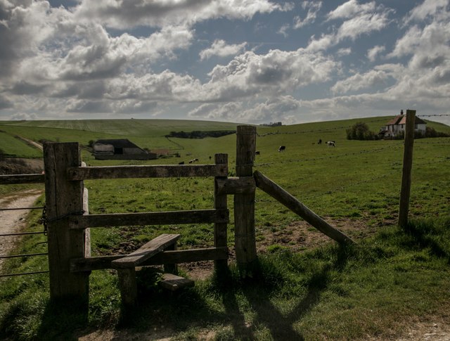
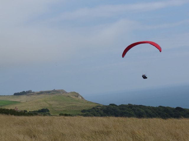
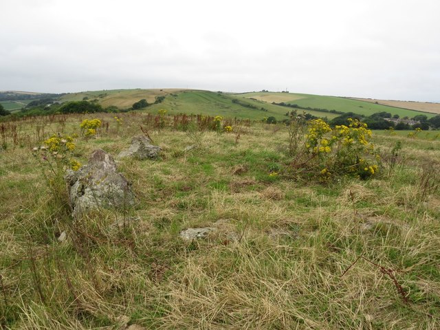
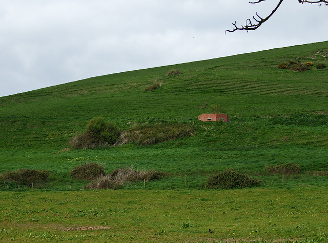
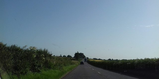
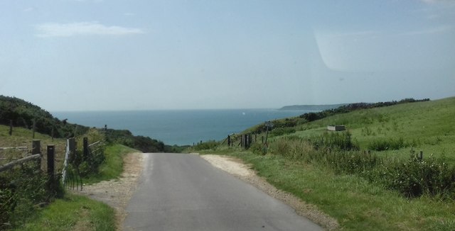
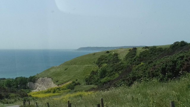
Covering an area of approximately 200 square miles, Moigns Down boasts rolling hills, expansive open spaces, and breathtaking views. The downs themselves are characterized by their gently sloping grassy hills, while the moorland areas feature a more rugged terrain with heather and gorse-covered hillsides.
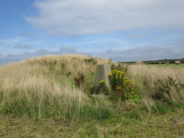
The area is rich in flora and fauna, with a variety of plant species including wildflowers and grasses that thrive in this unique ecosystem. Moigns Down is also home to a range of wildlife, including several bird species such as skylarks, peregrine falcons, and kestrels. On occasion, visitors may even spot the elusive Dartford warbler or the rare Marsh fritillary butterfly.
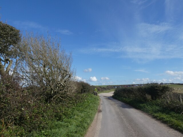
Walking and hiking enthusiasts will find Moigns Down to be an ideal destination, as it offers numerous footpaths and trails that wind through the stunning countryside. These paths provide opportunities to explore the area's natural beauty, discover hidden valleys, and enjoy panoramic views of the surrounding landscape.
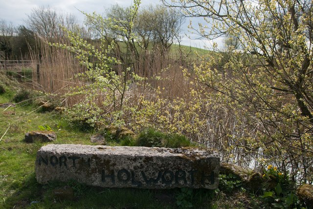
Furthermore, Moigns Down is steeped in history, with several ancient burial mounds and archaeological sites scattered throughout the area. These remnants of the past add an extra layer of intrigue to the already captivating landscape.
Overall, Moigns Down in Dorset is a captivating blend of downs and moorland, offering visitors a unique natural experience with its diverse landscapes, abundant wildlife, and rich historical heritage.
If you have any feedback on the listing, please let us know in the comments section below.
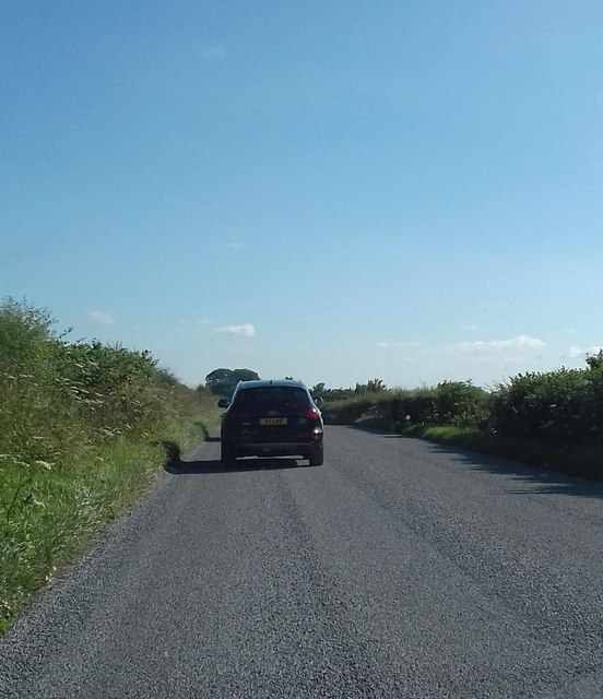
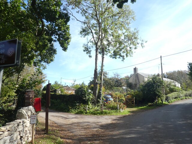
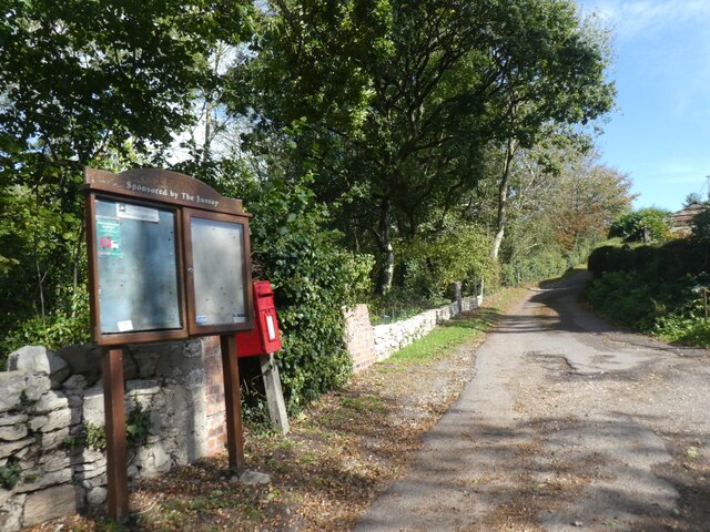
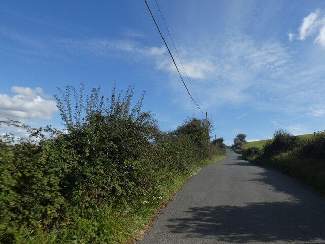
Moigns Down Images
Images are sourced within 2km of 50.65265/-2.3475432 or Grid Reference SY7583. Thanks to Geograph Open Source API. All images are credited.

Moigns Down is located at Grid Ref: SY7583 (Lat: 50.65265, Lng: -2.3475432)
Unitary Authority: Dorset
Police Authority: Dorset
What 3 Words
///doors.impressed.bristle. Near Overcombe, Dorset
Nearby Locations
Related Wikis

St John's Church, Poxwell
St John's Church was a Church of England church in Poxwell, Dorset, England. It was built in 1867–68 as a replacement to an earlier church and was demolished...

Poxwell
Poxwell (; sometimes written Pokeswell) is a hamlet and civil parish in the county of Dorset in southwest England. It is located 6 miles (9.7 km) east...

RAF Ringstead
RAF Ringstead is a former Royal Air Force radar station at Ringstead Bay, Dorset, England. It is notable for having served three separate functions: first...

Owermoigne
Owermoigne ( OH-ər-MOYN) is a village and civil parish in the county of Dorset in southern England, situated 6 miles (9.7 km) south-east of Dorchester...
Nearby Amenities
Located within 500m of 50.65265,-2.3475432Have you been to Moigns Down?
Leave your review of Moigns Down below (or comments, questions and feedback).