Landulph

Civil Parish in Cornwall

England

Landulph

River Tamar, near Landulph Looking from the water to the bank on the Cornish side between Neal Point and Weir Point.
River Tamar, near Landulph Credit: Stephen McKay

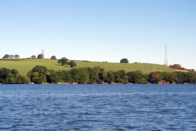
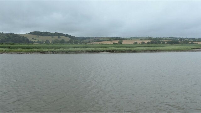
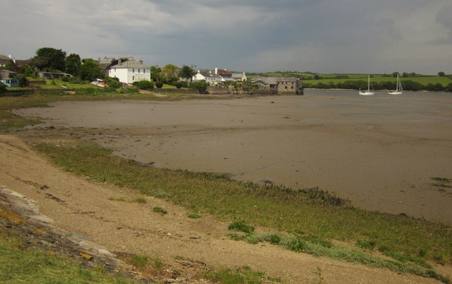
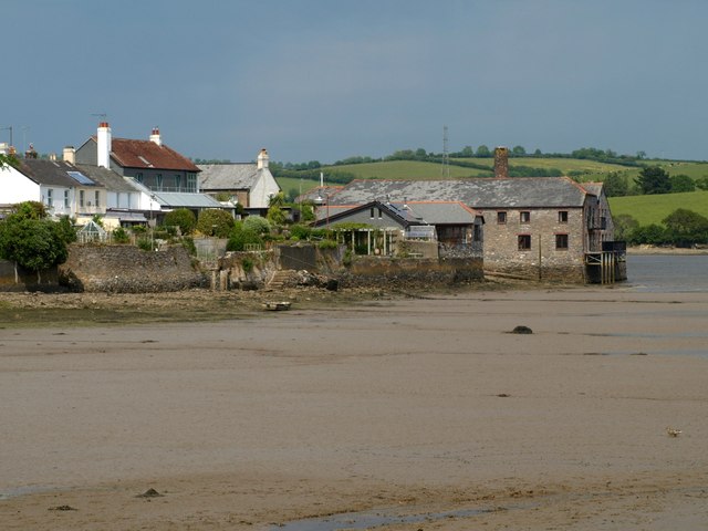
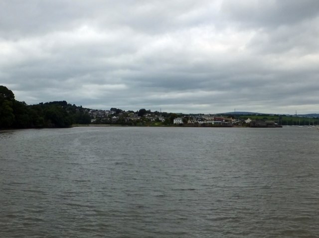
Landulph is a civil parish located in Cornwall, England. Situated on the banks of the River Tamar, it is bordered by the parishes of St. Mellion, Botusfleming, Pillaton, and Saltash. The parish covers an area of approximately 6 square miles and has a population of around 500 residents.

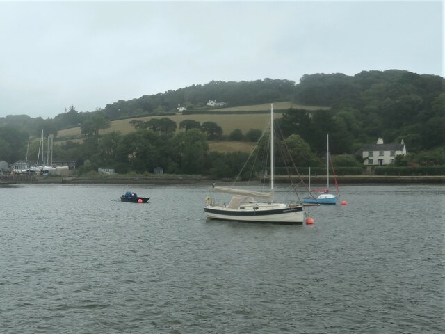
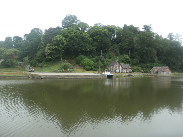
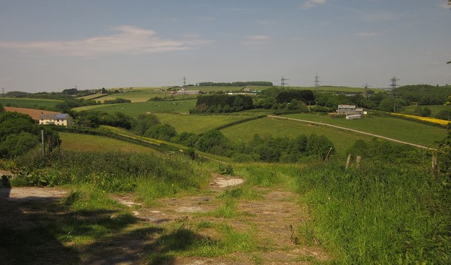
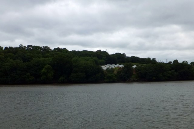
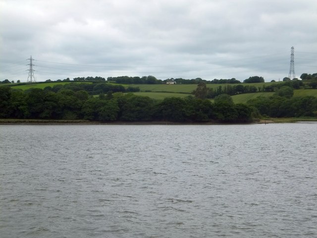
The village of Landulph is mainly a rural area with a rich agricultural heritage. The landscape is characterized by rolling hills, open fields, and picturesque countryside, providing a tranquil and idyllic setting for residents and visitors alike. The parish is also home to several farms, which contribute to the local economy and maintain the area's rural charm.

Landulph is notable for its historic landmarks, including the Grade I listed Landulph Church, which dates back to the 13th century. The church is renowned for its beautiful stained glass windows and intricate woodwork, attracting visitors interested in architectural and historical heritage. Additionally, the parish is home to the Landulph Memorial Hall, a community facility that hosts various events and activities throughout the year.

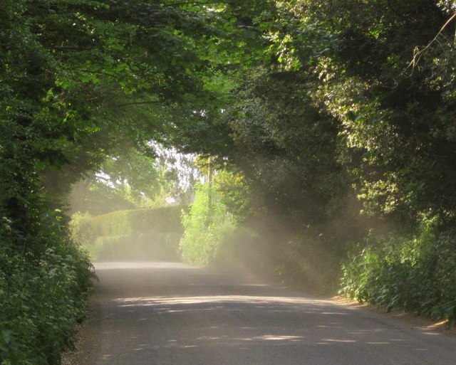
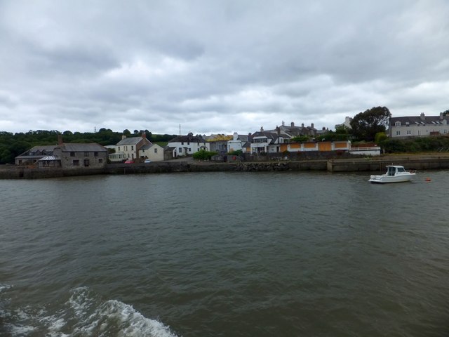
The village of Landulph is well-connected to neighboring towns and cities through a network of roads, making it easily accessible for both residents and tourists. It offers a peaceful retreat from the hustle and bustle of city life, with opportunities for outdoor activities such as walking, cycling, and fishing along the River Tamar.

In summary, Landulph is a charming civil parish in Cornwall, known for its rural landscape, historic landmarks, and strong sense of community.

If you have any feedback on the listing, please let us know in the comments section below.
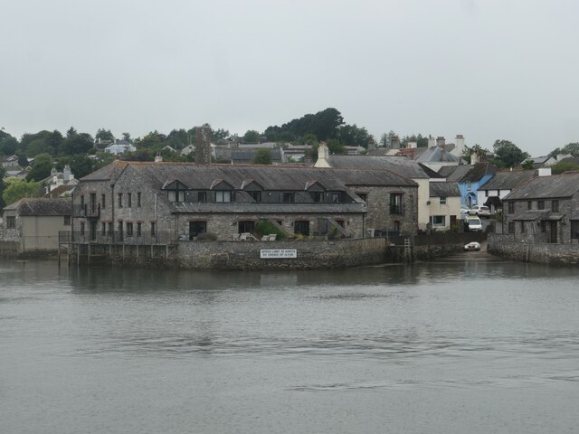
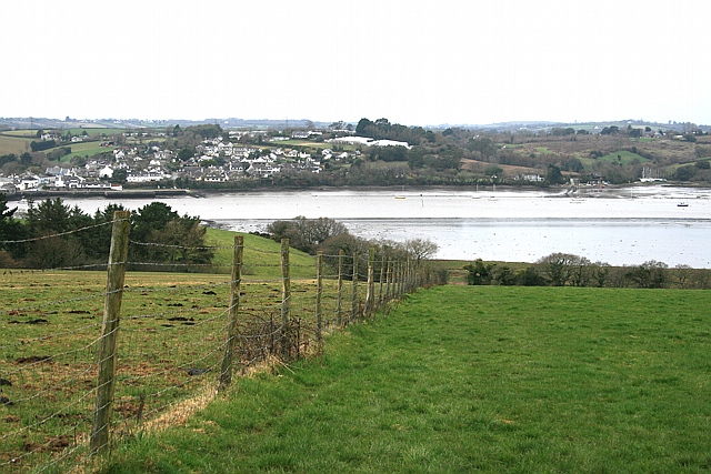
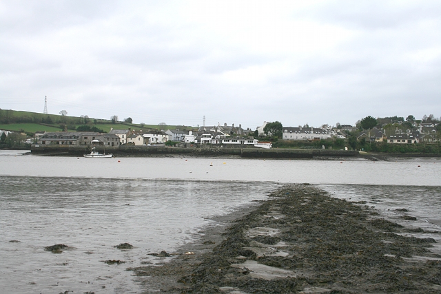
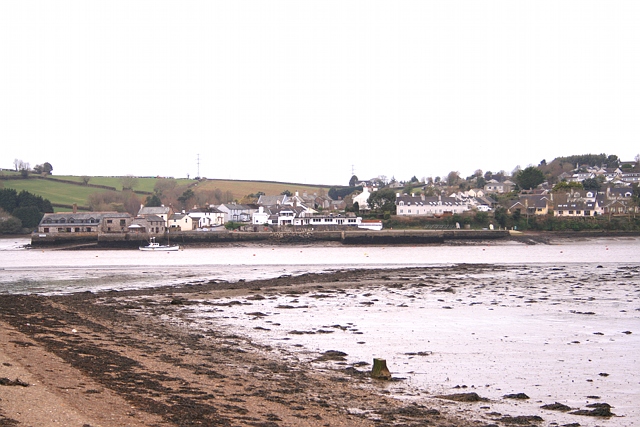
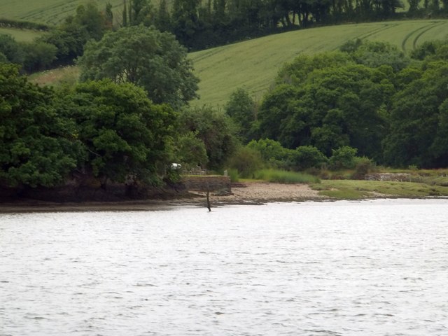
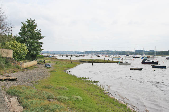
Landulph Images

Images are sourced within 2km of 50.445477/-4.22338 or Grid Reference SX4262. Thanks to Geograph Open Source API. All images are credited.

River Tamar, near Landulph Looking from the water to the bank on the Cornish side between Neal Point and Weir Point.
River Tamar, near Landulph
Looking from the water to the bank on the Cornish side between Neal Point and Weir Point.
Moored yacht, River Tamar Between Thorn Point and Weir Point. The boat is pointing downstream as the tide comes in. On the east bank are fields near New Barn Farm.
Moored yacht, River Tamar
Between Thorn Point and Weir Point. The boat is pointing downstream as the tide comes in. On the east bank are fields near New Barn Farm.
Yachts moored near Cleave Farm On the tidal River Tamar. The rising tide makes the boats point downstream.
Yachts moored near Cleave Farm
On the tidal River Tamar. The rising tide makes the boats point downstream.
Marshy edge of the Hooe peninsula On the Devon bank of the River Tamar.
Marshy edge of the Hooe peninsula
On the Devon bank of the River Tamar.
Boat moored at Pentillie Quay On the Cornish side of the River Tamar.
Boat moored at Pentillie Quay
On the Cornish side of the River Tamar.
Quay and slipway, off Fore Street, Cargreen On the Cornish side of the River Tamar.
Quay and slipway, off Fore Street, Cargreen
On the Cornish side of the River Tamar.
Footpath to Thorn Point Footpath 87 descends towards the saltmarsh lining the east bank of the Tamar estuary. Beyond, the path crosses the beach towards the hard for the ferry to Cargreen.
Footpath to Thorn Point
Footpath 87 descends towards the saltmarsh lining the east bank of the Tamar estuary. Beyond, the path crosses the beach towards the hard for the ferry to Cargreen.
Thorn Point ferry hard Ferry hard extending to the river edge at low water, with Cargreen quay visible opposite.
Thorn Point ferry hard
Ferry hard extending to the river edge at low water, with Cargreen quay visible opposite.
Thorn Point ferry hard The ferry hard seen extending to low water mark, with Cargreen visible on the far side of the Tamar estuary.
Thorn Point ferry hard
The ferry hard seen extending to low water mark, with Cargreen visible on the far side of the Tamar estuary.
Countryside at Kingsmill Park The valley soon leads to Kingsmill Lake, a creek on the Tamar estuary. The house on the right is new.
Countryside at Kingsmill Park
The valley soon leads to Kingsmill Lake, a creek on the Tamar estuary. The house on the right is new.
Cargreen As <a href="https://www.geograph.org.uk/photo/2260056">SX4362 : Cargreen seen from footpath in 1992</a> shows, the village is on a promontory jutting out into the Tamar estuary.
Cargreen
As SX4362 : Cargreen seen from footpath in 1992 shows, the village is on a promontory jutting out into the Tamar estuary.
Cargreen A closer look at the buildings at the end of the promontory shown in <a href="https://www.geograph.org.uk/photo/3506051">SX4362 : Cargreen</a>.
Cargreen
A closer look at the buildings at the end of the promontory shown in SX4362 : Cargreen.
Road at Wayton Sunshine filters through the dust raised by the passage of cars on this quite busy road.
Road at Wayton
Sunshine filters through the dust raised by the passage of cars on this quite busy road.
Cargreen seen from the Tamar
Polytunnels south of Cargreen These polytunnels are sheltered by the woodland.  They face south of east
Polytunnels south of Cargreen
These polytunnels are sheltered by the woodland. They face south of east
The quay at Cargreen
Western bank of Tamar north of Cargreen Haye Farm <a href="https://www.geograph.org.uk/gridref/SX4263">SX4263</a> is on the hillside, with pylons beyond.  There is a minor road along the bank, which leads to the former quay at the right of the picture <a href="https://www.geograph.org.uk/photo/469698">SX4363 : Quay Cottage at Salter Mill</a>
Western bank of Tamar north of Cargreen
Haye Farm SX4263 is on the hillside, with pylons beyond. There is a minor road along the bank, which leads to the former quay at the right of the picture SX4363 : Quay Cottage at Salter Mill
Salter Mill Another view  of this former quay is <a href="https://www.geograph.org.uk/photo/469698">SX4363 : Quay Cottage at Salter Mill</a>
Salter Mill
Another view of this former quay is SX4363 : Quay Cottage at Salter Mill
Show me another place!

Landulph is located at Grid Ref: SX4262 (Lat: 50.445477, Lng: -4.22338)

Unitary Authority: Cornwall

Police Authority: Devon & Cornwall

What 3 Words

///baguette.dull.family. Near Saltash, Cornwall

Related Wikis

Cargreen

Cargreen (Cornish: Karrekreun) is a small settlement in southeast Cornwall, England, United Kingdom. It is situated beside the River Tamar approximately...

Landulph

Landulph (Cornish: Lanndhylyk) is a hamlet and a rural civil parish in south-east Cornwall, England, United Kingdom. It is about 3 miles (5 km) north of...

Pentillie

Pentillie Castle is a grade II* listed country house and estate on the bank of the River Tamar in Paynters Cross, near to St Mellion, in Cornwall, England...

Weir Quay

Weir Quay is a place on the banks of the River Tamar in Devon, England. It lies 1 mile (1.6 km) south west of the village of Bere Alston. Weir Quay is...

Nearby Amenities

Located within 500m of 50.445477,-4.22338
Generator Method: photovoltaic
Generator Output Electricity: yes
Generator Source: solar
Generator Type: solar_photovoltaic_panel
Location: roof
Power: generator
Lat/Long: 50.4462747/-4.2252401
Barrier: kissing_gate
Lat/Long: 50.4464064/-4.2194947
Barrier: stile
Lat/Long: 50.4428148/-4.2203965
Barrier: kissing_gate
Lat/Long: 50.4454212/-4.2216832
The data included in this document is from www.openstreetmap.org. The data is made available under ODbL.

Have you been to Landulph?

Leave your review of Landulph below (or comments, questions and feedback).