Landulph Cross

Settlement in Cornwall

England

Landulph Cross

River Tamar, near Landulph Looking from the water to the bank on the Cornish side between Neal Point and Weir Point.
River Tamar, near Landulph Credit: Stephen McKay

Landulph Cross is a historic granite monument located in the village of Landulph in Cornwall, England. The cross stands approximately 3.7 meters tall and is believed to date back to the 9th or 10th century, making it one of the oldest crosses in Cornwall.

The cross features intricate carvings on all four sides, including interlacing patterns, animals, and geometric designs. It is thought to have originally been a preaching cross, used by early Christian missionaries to spread the message of Christianity in the region.

The Landulph Cross is a significant archaeological and historical site, providing valuable insights into the religious and cultural practices of the early medieval period in Cornwall. It is a protected monument under the care of English Heritage, ensuring its preservation for future generations to appreciate and study.

Visitors to Landulph can admire the cross in its original setting, surrounded by the picturesque countryside of Cornwall. The site offers a glimpse into the region's rich history and heritage, making it a popular destination for history enthusiasts and those interested in exploring Cornwall's ancient past.

If you have any feedback on the listing, please let us know in the comments section below.

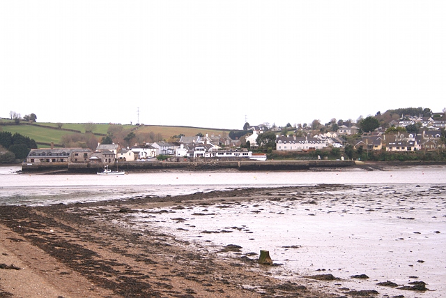
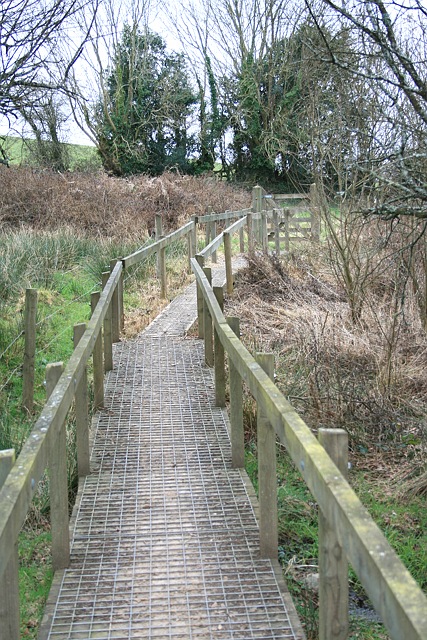
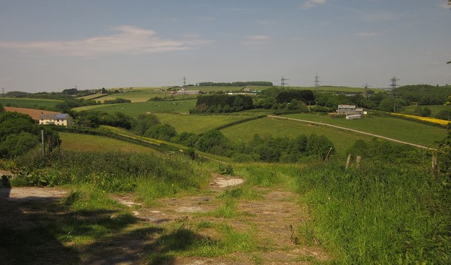
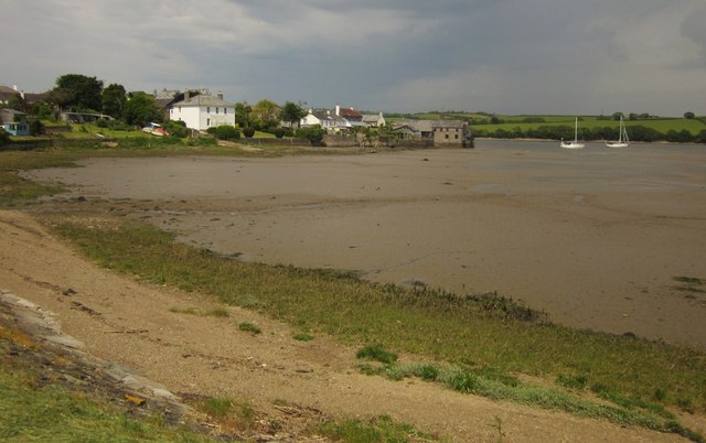
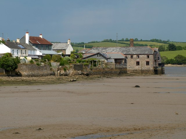
Landulph Cross Images

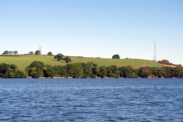
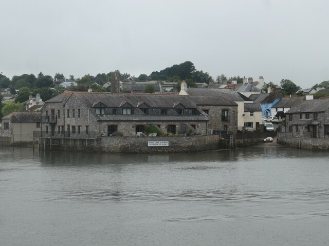
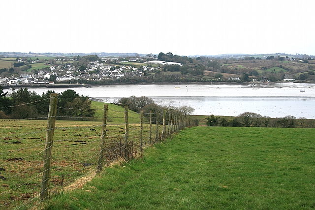
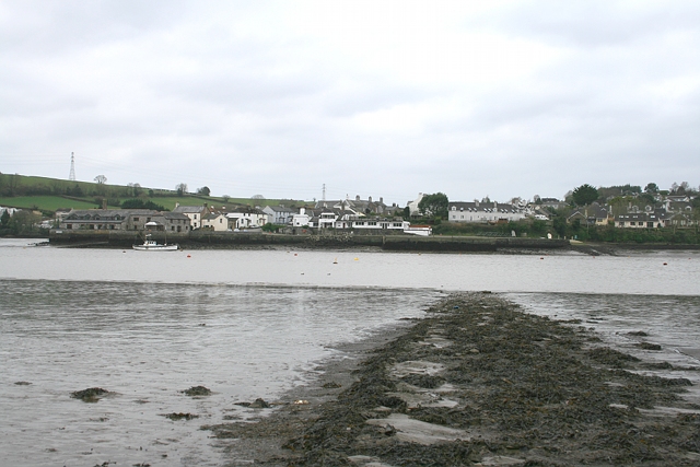
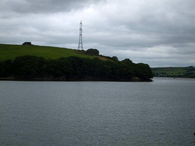
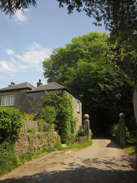
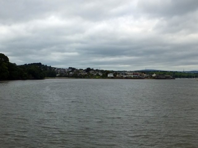
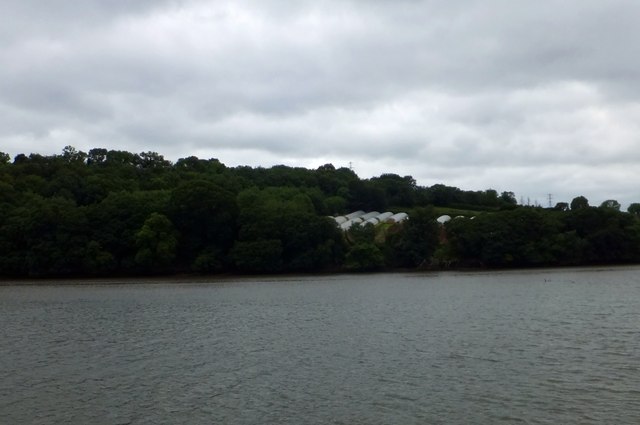
Images are sourced within 2km of 50.440924/-4.2175346 or Grid Reference SX4262. Thanks to Geograph Open Source API. All images are credited.

River Tamar, near Landulph Looking from the water to the bank on the Cornish side between Neal Point and Weir Point.
River Tamar, near Landulph
Looking from the water to the bank on the Cornish side between Neal Point and Weir Point.
Moored yacht, River Tamar Between Thorn Point and Weir Point. The boat is pointing downstream as the tide comes in. On the east bank are fields near New Barn Farm.
Moored yacht, River Tamar
Between Thorn Point and Weir Point. The boat is pointing downstream as the tide comes in. On the east bank are fields near New Barn Farm.
Quay and slipway, off Fore Street, Cargreen On the Cornish side of the River Tamar.
Quay and slipway, off Fore Street, Cargreen
On the Cornish side of the River Tamar.
Footpath to Thorn Point Footpath 87 descends towards the saltmarsh lining the east bank of the Tamar estuary. Beyond, the path crosses the beach towards the hard for the ferry to Cargreen.
Footpath to Thorn Point
Footpath 87 descends towards the saltmarsh lining the east bank of the Tamar estuary. Beyond, the path crosses the beach towards the hard for the ferry to Cargreen.
Thorn Point ferry hard Ferry hard extending to the river edge at low water, with Cargreen quay visible opposite.
Thorn Point ferry hard
Ferry hard extending to the river edge at low water, with Cargreen quay visible opposite.
Thorn Point ferry hard The ferry hard seen extending to low water mark, with Cargreen visible on the far side of the Tamar estuary.
Thorn Point ferry hard
The ferry hard seen extending to low water mark, with Cargreen visible on the far side of the Tamar estuary.
Footpath above Newpark Lake Public footpath Bere Ferrers 83 heading south, viewed from the same position as <a href="https://www.geograph.org.uk/photo/2331325">SX4463 : Footpath above Newpark Lake</a>
Footpath above Newpark Lake
Public footpath Bere Ferrers 83 heading south, viewed from the same position as SX4463 : Footpath above Newpark Lake
Countryside at Kingsmill Park The valley soon leads to Kingsmill Lake, a creek on the Tamar estuary. The house on the right is new.
Countryside at Kingsmill Park
The valley soon leads to Kingsmill Lake, a creek on the Tamar estuary. The house on the right is new.
Cargreen As <a href="https://www.geograph.org.uk/photo/2260056">SX4362 : Cargreen seen from footpath in 1992</a> shows, the village is on a promontory jutting out into the Tamar estuary.
Cargreen
As SX4362 : Cargreen seen from footpath in 1992 shows, the village is on a promontory jutting out into the Tamar estuary.
Cargreen A closer look at the buildings at the end of the promontory shown in <a href="https://www.geograph.org.uk/photo/3506051">SX4362 : Cargreen</a>.
Cargreen
A closer look at the buildings at the end of the promontory shown in SX4362 : Cargreen.
Road at Wayton Sunshine filters through the dust raised by the passage of cars on this quite busy road.
Road at Wayton
Sunshine filters through the dust raised by the passage of cars on this quite busy road.
Skinham Point seen from the Tamar The wooded point is the end of the Kingsmill Lake inlet.  The tide was high so the inlet was full of water
Skinham Point seen from the Tamar
The wooded point is the end of the Kingsmill Lake inlet. The tide was high so the inlet was full of water
The bay on the Tamar at Parsons Quay A wooded bay on the Cornish bank of the river, whose access is now a riverside footpath
The bay on the Tamar at Parsons Quay
A wooded bay on the Cornish bank of the river, whose access is now a riverside footpath
Weir Point and electricity pylon The pylon is higher than usual to allow the cables to cross the river.
Weir Point and electricity pylon
The pylon is higher than usual to allow the cables to cross the river.
Gateposts and lodge, Moditonham The pair of lodges (this is the North Lodge) and the gateposts are listed together  <span class="nowrap"><a title="http://list.english-heritage.org.uk/resultsingle.aspx?uid=1329309&searchtype=mapsearch" rel="nofollow ugc noopener" href="http://list.english-heritage.org.uk/resultsingle.aspx?uid=1329309&searchtype=mapsearch">Link</a><img style="margin-left:2px;" alt="External link" title="External link - shift click to open in new window" src="https://s1.geograph.org.uk/img/external.png" width="10" height="10"/></span> . They date from the late C18. The road continues to be public after passing between the gateposts, running for a further kilometre to a dead end at the tidal Kingsmill Lake.
Gateposts and lodge, Moditonham
The pair of lodges (this is the North Lodge) and the gateposts are listed together LinkExternal link . They date from the late C18. The road continues to be public after passing between the gateposts, running for a further kilometre to a dead end at the tidal Kingsmill Lake.
Cargreen seen from the Tamar
Polytunnels south of Cargreen These polytunnels are sheltered by the woodland.  They face south of east
Polytunnels south of Cargreen
These polytunnels are sheltered by the woodland. They face south of east
The quay at Cargreen
Show me another place!

Landulph Cross is located at Grid Ref: SX4262 (Lat: 50.440924, Lng: -4.2175346)

Unitary Authority: Cornwall

Police Authority: Devon and Cornwall

What 3 Words

///dished.factoring.biked. Near Saltash, Cornwall

Related Wikis

Cargreen

Cargreen (Cornish: Karrekreun) is a small settlement in southeast Cornwall, England, United Kingdom. It is situated beside the River Tamar approximately...

Landulph

Landulph (Cornish: Lanndhylyk) is a hamlet and a rural civil parish in south-east Cornwall, England, United Kingdom. It is about 3 miles (5 km) north of...

Carkeel

Carkeel is a hamlet north of Saltash in southeast Cornwall, England. == References ==

Botusfleming

Botus Fleming or Botusfleming (Cornish: Bosflumyes) is a village and civil parish in southeast Cornwall, England, United Kingdom. The 2001 census gives...

Nearby Amenities

Located within 500m of 50.440924,-4.2175346
Bus Stop
Landulph Primary School
Bench: yes
Bin: no
Lit: no
Naptan AtcoCode: 0800COA10537
Naptan Bearing: E
Naptan CommonName: Landulph Primary School
Naptan NaptanCode: corgadtp
Naptan Street: Landulph Cross
Naptan Verified: no
Shelter: no
Source: naptan_import
Tactile Paving: no
Lat/Long: 50.4408966/-4.217719
Bus Stop
Hazel Bank
Bench: no
Bin: no
Lit: no
Naptan AtcoCode: 0800COA10538
Naptan Bearing: W
Naptan CommonName: Hazel Bank
Naptan NaptanCode: corgadwd
Naptan Street: Landulph Cross
Naptan Verified: no
Shelter: no
Source: naptan_import
Tactile Paving: no
Lat/Long: 50.4408957/-4.2172964
Power: tower
Source: bing
Lat/Long: 50.4379262/-4.2202822
Power: tower
Source: bing
Lat/Long: 50.4374545/-4.2145693
Power: tower
Source: bing
Lat/Long: 50.4381616/-4.2230454
Post Box
Brand: Royal Mail
Brand Wikidata: Q638098
Collection Times: Mo-Fr 15:00; Sa 09:00
Mapillary: 5555484254532669
Operator: Royal Mail
Operator Wikidata: Q638098
Post Box Mounting: stone_wall
Post Box Type: wall
Ref: PL12 510
Royal Cypher: EIIR
Royal Cypher Wikidata: Q33102113
Survey Date: 2022-10-22
Lat/Long: 50.4408305/-4.217475
Grit Bin
Survey Date: 2022-10-22
Lat/Long: 50.4407778/-4.2173688
Bench
Backrest: yes
Survey Date: 2022-10-22
Lat/Long: 50.4408081/-4.2173942
Barrier: stile
Lat/Long: 50.4428148/-4.2203965
The data included in this document is from www.openstreetmap.org. The data is made available under ODbL.

Have you been to Landulph Cross?

Leave your review of Landulph Cross below (or comments, questions and feedback).