Lane End

Settlement in Lancashire

England

Lane End

The Black Swan
The Black Swan Credit: Mick Garratt

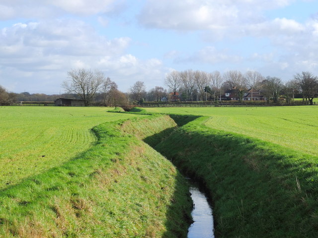
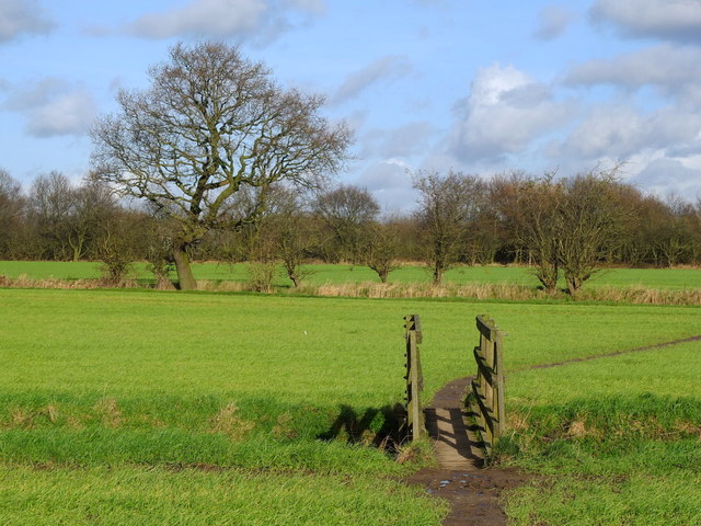
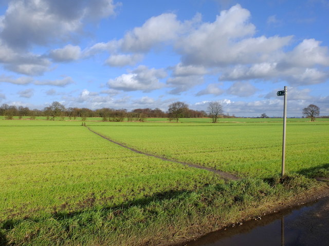
Lane End is a small village located in the county of Lancashire, England. Situated in the picturesque Rossendale Valley, it is part of the larger civil parish of Bacup. Lane End is surrounded by beautiful countryside, offering stunning views of rolling hills and lush greenery.

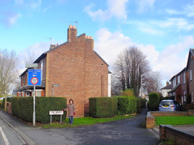
The village itself is home to a tight-knit community, with a population of approximately 500 residents. It boasts a charming mix of traditional stone-built cottages and modern houses, giving it a unique character. The local architecture reflects the area's industrial past, with remnants of old mills and factories still visible.

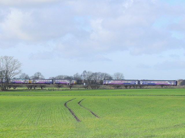
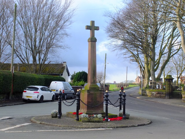
Lane End offers a range of amenities to its residents, including a primary school, a post office, and a convenience store. It also has a community center that hosts various events and activities throughout the year, fostering a sense of community spirit. The village is well-connected, with regular bus services providing easy access to nearby towns and cities.

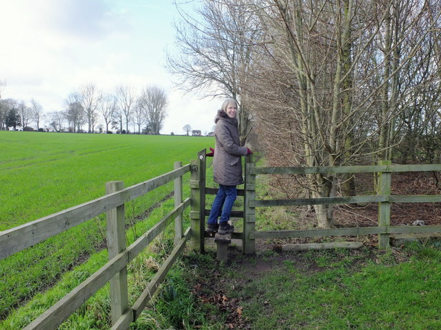
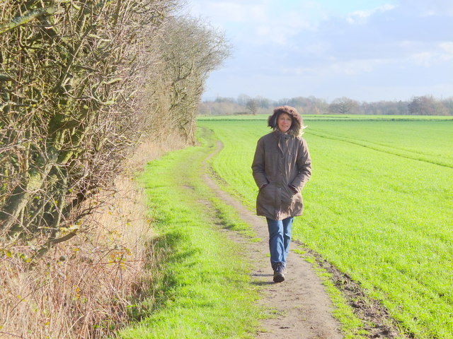
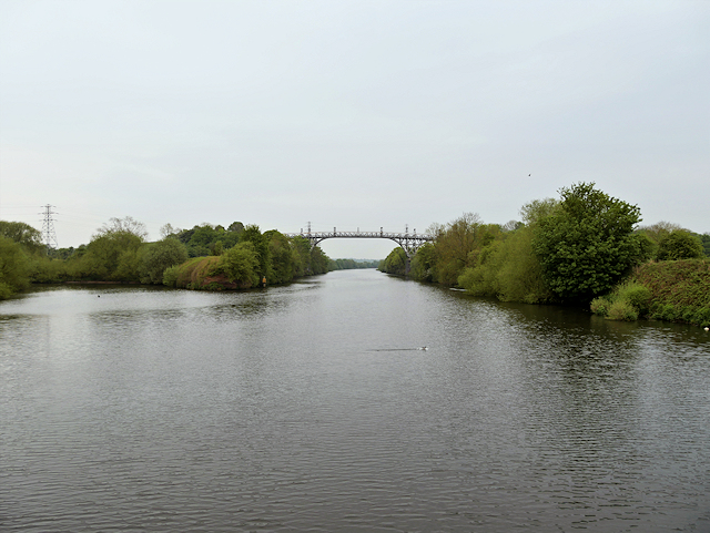
Nature enthusiasts will find plenty to explore in Lane End and its surrounding area. There are numerous walking trails and nature reserves nearby, offering opportunities for hiking, birdwatching, and enjoying the great outdoors.

Overall, Lane End is a peaceful and picturesque village, offering a tranquil escape from the hustle and bustle of city life. Its rich history, natural beauty, and close-knit community make it a desirable place to live for those seeking a quieter and more rural lifestyle.

If you have any feedback on the listing, please let us know in the comments section below.
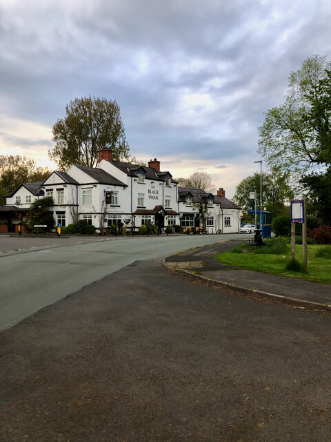
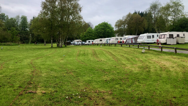
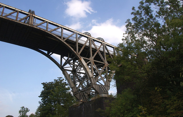
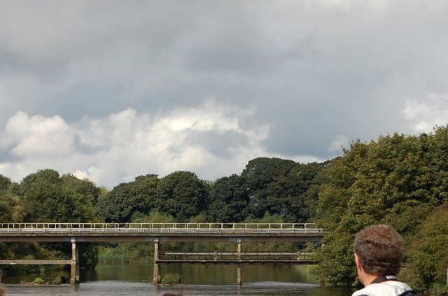
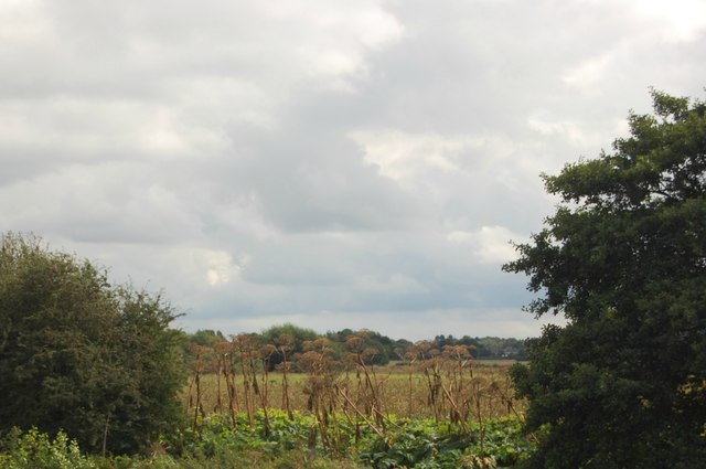
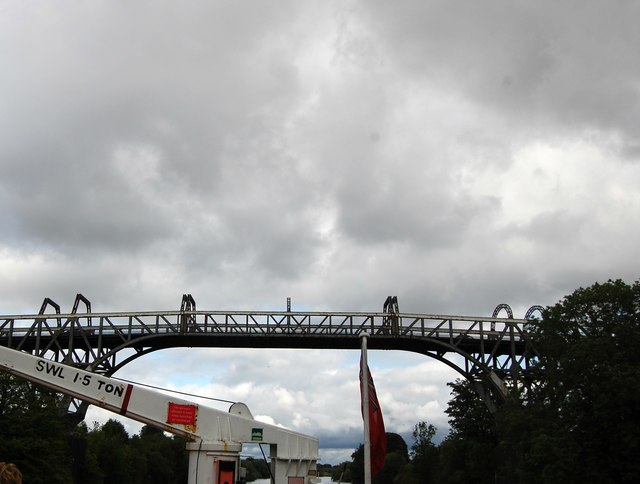
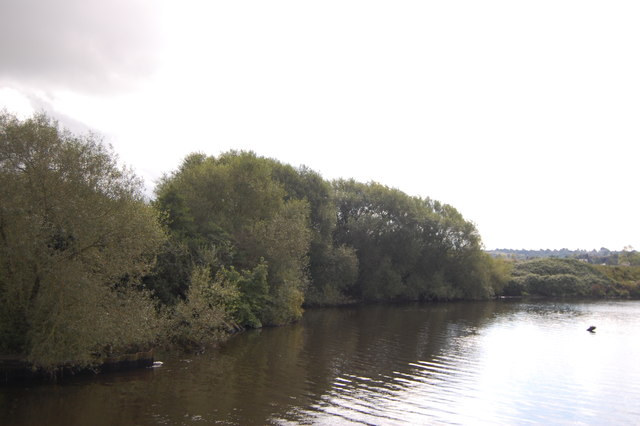
Lane End Images

Images are sourced within 2km of 53.408831/-2.4699317 or Grid Reference SJ6890. Thanks to Geograph Open Source API. All images are credited.

The Black Swan
The Black Swan
"Holiday Park" Not the most salubrious.
"Holiday Park"
Not the most salubrious.
Warburton Toll Bridge Crossing the Manchester Ship Canal.
Warburton Toll Bridge
Crossing the Manchester Ship Canal.
Woodland, Butchersfield Woodland on a former refuse tip. Taken from the Manchester Ship Canal.
Woodland, Butchersfield
Woodland on a former refuse tip. Taken from the Manchester Ship Canal.
Butchersfield Canal Taken from its confluence with the Manchester Ship Canal.
Butchersfield Canal
Taken from its confluence with the Manchester Ship Canal.
Countryside beside the Manchester Ship Canal Near Rixton Old Hall. Taken from the canal.
Countryside beside the Manchester Ship Canal
Near Rixton Old Hall. Taken from the canal.
Warburton Toll Bridge Taken from the Manchester Ship Canal, with superstructure of our Mersey ferry in the foreground.
Warburton Toll Bridge
Taken from the Manchester Ship Canal, with superstructure of our Mersey ferry in the foreground.
Manchester Ship Canal near Warburton
Stile near Mount Pleasant Farm
Footpath west of Mount Pleasant Farm, Hollins Green
Trains near Glazebrook
Field drains near Holingreave Farm
Footpath near Hollingreave Farm
Cross at Hollins Green
The Weint, Hollins Green
Manchester Ship Canal near Warburton The Manchester Ship Canal, which took six years to build and was opened in 1894, is a 36-mile-long inland waterway linking Manchester to the Irish Sea at Liverpool. It generally follows the original routes of the rivers Mersey and Irwell through the historic counties of Cheshire and Lancashire. Several sets of locks lift vessels about 60 feet up to the Manchester Docks (now Salford Quays), where the canal's terminus was built.

When the ship canal opened in January 1894 it was the largest river navigation canal in the world, and enabled the newly created Port of Manchester to become Britain's third busiest port despite the city being about 40 miles inland. Since its opening, the canal handled a wide range of ships and cargoes, from coastal vessels to intra-European shipping and inter-continental cargo liners; Manchester Liners established regular sailings by large ocean-going vessels.

The amount of freight carried by the canal peaked in 1958 at 18 million long tons but changes to shipping methods and the growth of containerisation during the 1970s and 1980s caused traffic to decline, resulting in the closure of the docks at Salford in 1984. Although able to accommodate a range of vessels from coastal ships to inter-continental cargo liners, the canal is no longer large enough for most modern vessels.
Manchester Ship Canal near Warburton
The Manchester Ship Canal, which took six years to build and was opened in 1894, is a 36-mile-long inland waterway linking Manchester to the Irish Sea at Liverpool. It generally follows the original routes of the rivers Mersey and Irwell through the historic counties of Cheshire and Lancashire. Several sets of locks lift vessels about 60 feet up to the Manchester Docks (now Salford Quays), where the canal's terminus was built. When the ship canal opened in January 1894 it was the largest river navigation canal in the world, and enabled the newly created Port of Manchester to become Britain's third busiest port despite the city being about 40 miles inland. Since its opening, the canal handled a wide range of ships and cargoes, from coastal vessels to intra-European shipping and inter-continental cargo liners; Manchester Liners established regular sailings by large ocean-going vessels. The amount of freight carried by the canal peaked in 1958 at 18 million long tons but changes to shipping methods and the growth of containerisation during the 1970s and 1980s caused traffic to decline, resulting in the closure of the docks at Salford in 1984. Although able to accommodate a range of vessels from coastal ships to inter-continental cargo liners, the canal is no longer large enough for most modern vessels.
Show me another place!

Lane End is located at Grid Ref: SJ6890 (Lat: 53.408831, Lng: -2.4699317)

Unitary Authority: Warrington

Police Authority: Cheshire

What 3 Words

///hardback.apples.surging. Near Partington, Manchester

Related Wikis

Rixton Clay Pits

Rixton Clay Pits (also known as Rixton Claypits) is a former clay extraction site in Rixton, near Hollins Green, Warrington, England. Formerly farmland...

Hollins Green

Hollins Green is a village on the eastern edge of Warrington, in the Warrington district, in the ceremonial county of Cheshire and formerly in the historic...

St Werburgh's Church, Warburton

St Werburgh's Church is the name of two separate churches in the village of Warburton, Greater Manchester, England. The older church is located to the...

Warburton, Greater Manchester

Warburton is a village and civil parish within the Metropolitan Borough of Trafford in Greater Manchester, England. Historically in Cheshire, Warburton...

Nearby Amenities

Located within 500m of 53.408831,-2.4699317
Traffic Signals
Traffic Signals: signal
Traffic Signals Direction: backward
Lat/Long: 53.4099184/-2.4651922
Power: tower
Source: Bing
Lat/Long: 53.4048756/-2.4675799
Holly Bank Caravan Park
Source: ACSI
Tourism: camp_site
Lat/Long: 53.40944/-2.46428
Barrier: stile
Lat/Long: 53.4074384/-2.4766479
Barrier: stile
Lat/Long: 53.40849/-2.4698985
Lcn Ref: 212
Lat/Long: 53.4085218/-2.4697881
Traffic Signals
Traffic Signals: signal
Traffic Signals Direction: forward
Lat/Long: 53.4096918/-2.4658343
Traffic Signals
Traffic Signals: signal
Traffic Signals Direction: backward
Lat/Long: 53.4096698/-2.4654164
Crossing
Crossing: uncontrolled
Crossing Island: no
Tactile Paving: no
Lat/Long: 53.4098976/-2.4652503
Power: pole
Lat/Long: 53.4089276/-2.4640385
Booth: K6
Covered: booth
Disused Amenity: telephone
Man Made: telephone_box
Lat/Long: 53.4095213/-2.464904
Booth: K6
Covered: booth
Disused Amenity: telephone
Man Made: telephone_box
Lat/Long: 53.4091637/-2.4641744
Give Way
Direction: backward
Lat/Long: 53.4129212/-2.4668483
Post Box
Operator: Royal Mail
Operator Wikidata: Q638098
Post Box Type: wall
Ref: WA3 75
Royal Cypher: EIIR
Lat/Long: 53.408772/-2.4699679
Barrier: stile
Lat/Long: 53.4069069/-2.4737548
Barrier: cycle_barrier
Lat/Long: 53.4077665/-2.4714331
Barrier: cycle_barrier
Lat/Long: 53.4079725/-2.471499
Barrier: kissing_gate
Lat/Long: 53.4093702/-2.4770835
Barrier: stile
Lat/Long: 53.4075585/-2.4769053
Parking
Access: customers
Parking: surface
Lat/Long: 53.4123097/-2.4685463
The data included in this document is from www.openstreetmap.org. The data is made available under ODbL.

Have you been to Lane End?

Leave your review of Lane End below (or comments, questions and feedback).