Rixton-with-Glazebrook
Civil Parish in Lancashire
England
Rixton-with-Glazebrook
The requested URL returned error: 429 Too Many Requests
If you have any feedback on the listing, please let us know in the comments section below.
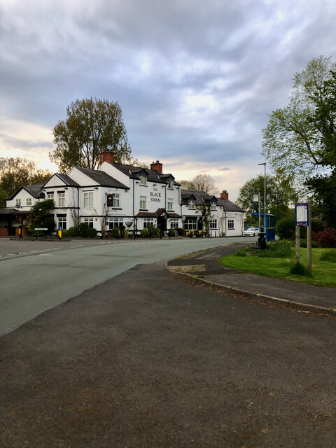
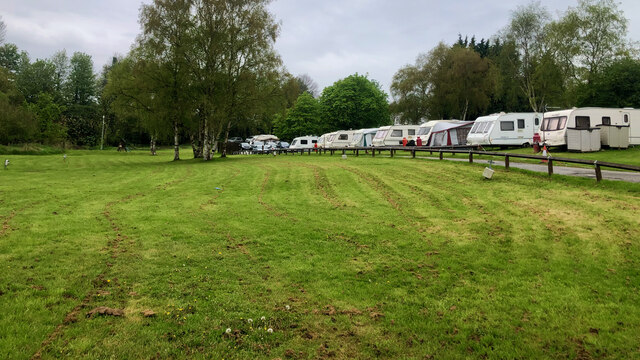
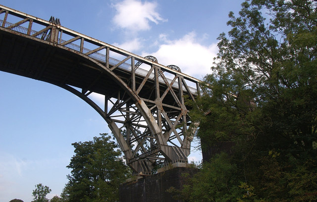
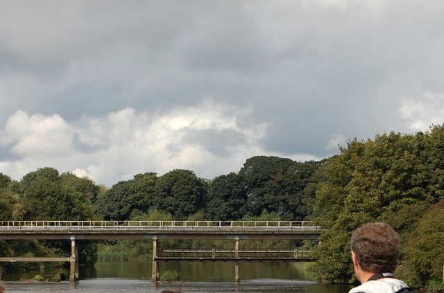
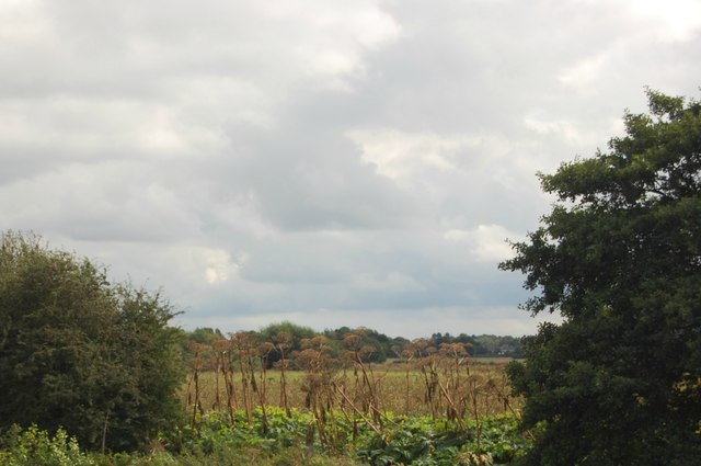
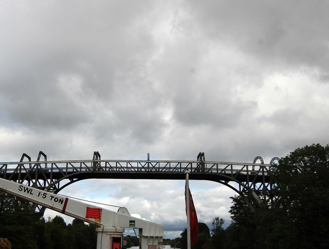
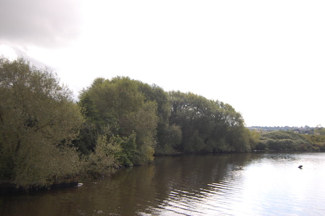
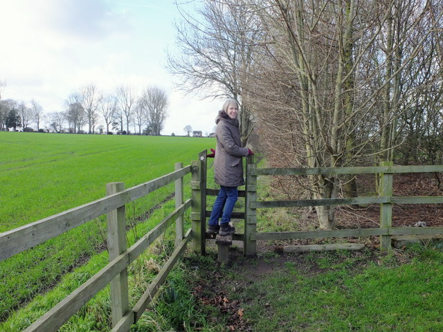
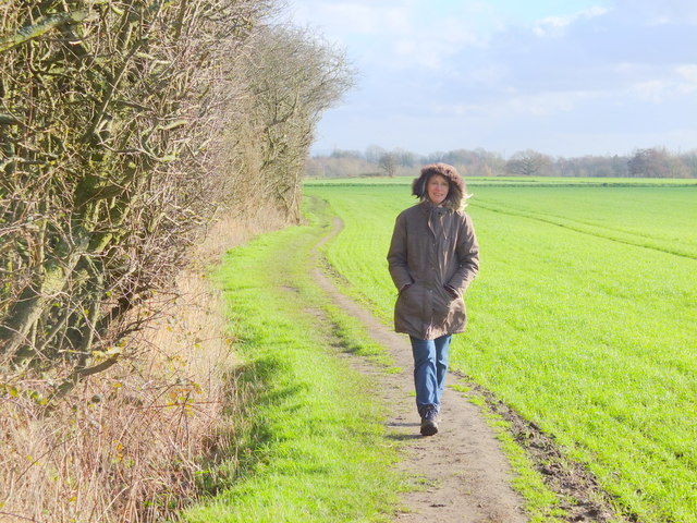
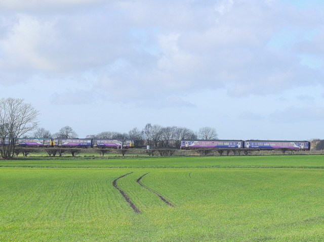
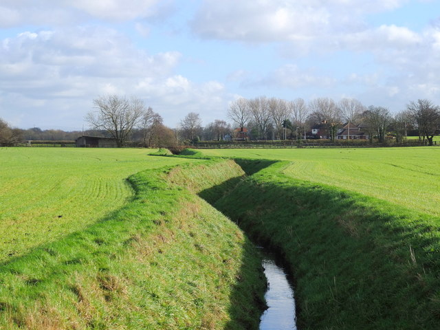
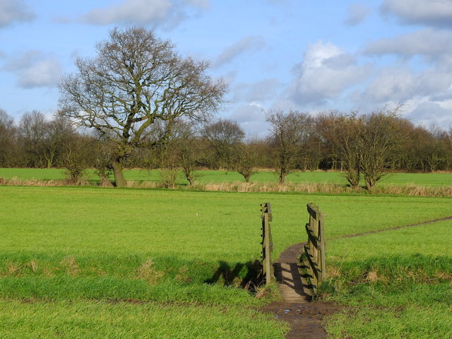
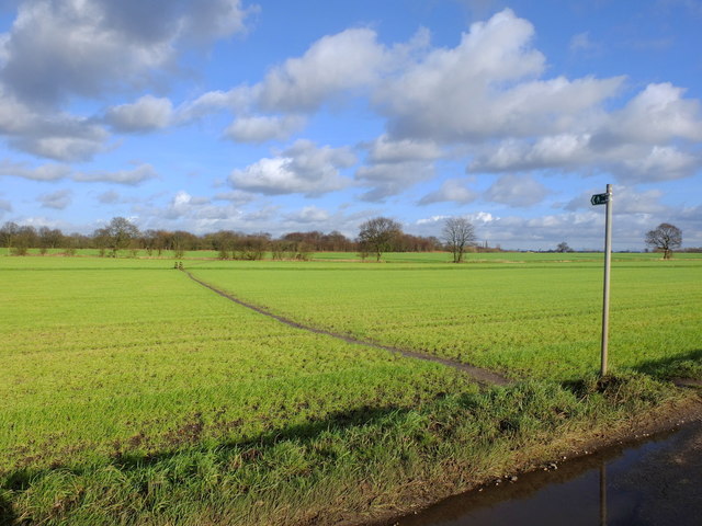
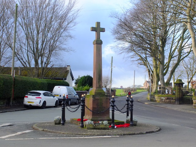
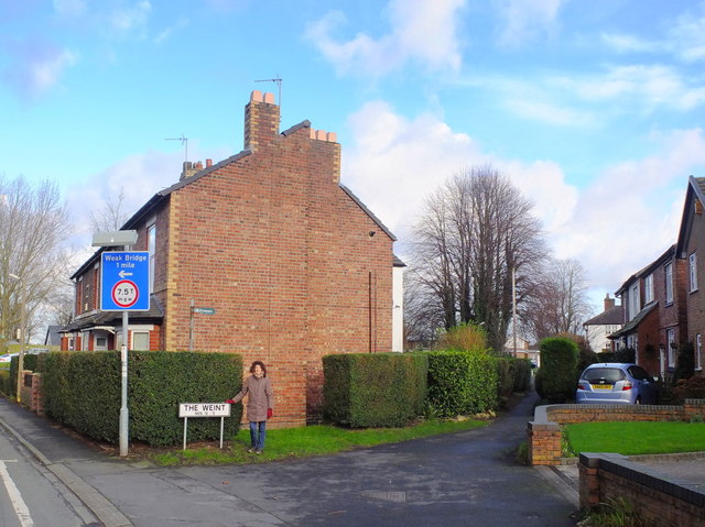
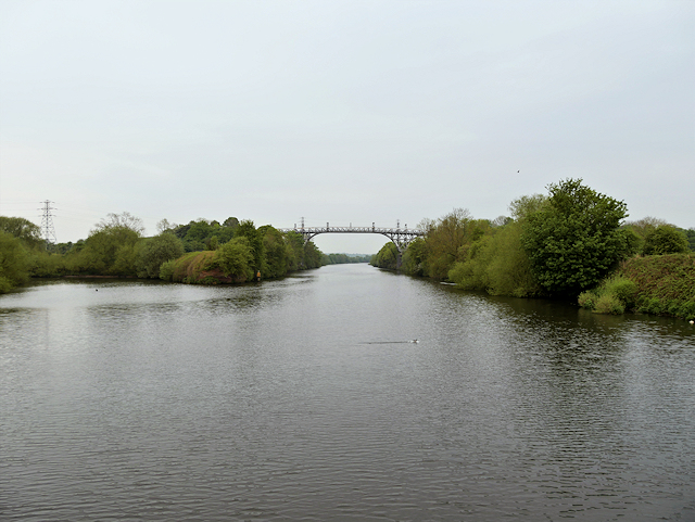
Rixton-with-Glazebrook Images
Images are sourced within 2km of 53.412693/-2.477422 or Grid Reference SJ6890. Thanks to Geograph Open Source API. All images are credited.


Rixton-with-Glazebrook is located at Grid Ref: SJ6890 (Lat: 53.412693, Lng: -2.477422)
Unitary Authority: Warrington
Police Authority: Cheshire
What 3 Words
///withdrew.detect.interview. Near Partington, Manchester
Nearby Locations
Related Wikis

Rixton Clay Pits
Rixton Clay Pits (also known as Rixton Claypits) is a former clay extraction site in Rixton, near Hollins Green, Warrington, England. Formerly farmland...

Hollins Green
Hollins Green is a village on the eastern edge of Warrington, in the Warrington district, in the ceremonial county of Cheshire and formerly in the historic...

St Werburgh's Church, Warburton
St Werburgh's Church is the name of two separate churches in the village of Warburton, Greater Manchester, England. The older church is located to the...

Warburton, Greater Manchester
Warburton is a village and civil parish within the Metropolitan Borough of Trafford in Greater Manchester, England. Historically in Cheshire, Warburton...
Nearby Amenities
Located within 500m of 53.412693,-2.477422Have you been to Rixton-with-Glazebrook?
Leave your review of Rixton-with-Glazebrook below (or comments, questions and feedback).