Rixton
Settlement in Lancashire
England
Rixton
Rixton is a small village located in the county of Lancashire, England. It is situated approximately 12 miles to the west of the city of Manchester and lies within the borough of Warrington. With a population of around 1,500 residents, Rixton is known for its peaceful and picturesque setting.
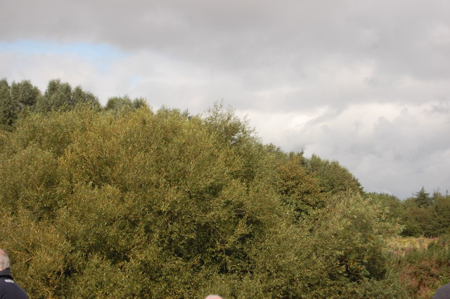
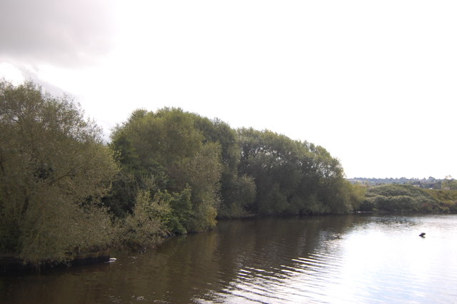
The village is surrounded by beautiful countryside, with rolling hills and farmland providing a tranquil atmosphere. Rixton boasts a close-knit community, with residents often engaging in various social activities and events throughout the year. The village is served by a local primary school, which provides education for children within the area.
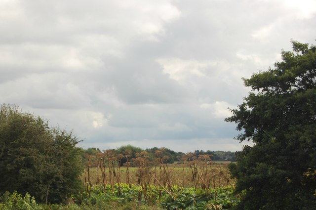
Historically, Rixton has been an agricultural community, with farming playing a significant role in the local economy. However, in recent years, the village has seen some residential development, with a number of new housing estates being built to accommodate the growing population.
Despite its small size, Rixton offers a range of amenities to its residents. The village has a local pub, which serves as a popular meeting spot for locals. Additionally, there is a village hall that hosts various community events and gatherings. For shopping and other amenities, residents can easily access nearby towns such as Warrington and Leigh, which offer a wider range of facilities.
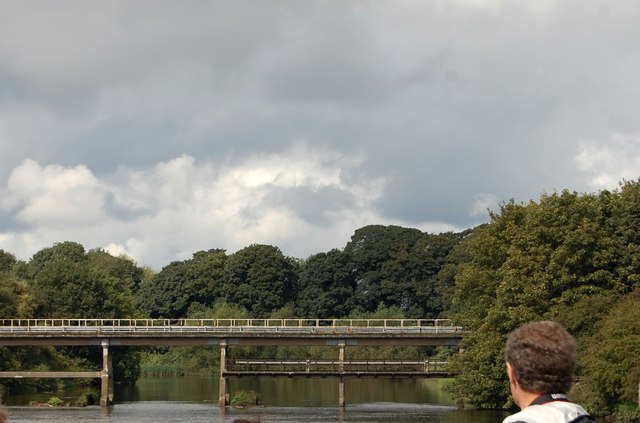
Rixton is well-connected to other areas through its transport links. The village is located close to the M6 and M62 motorways, providing easy access to Manchester, Liverpool, and other major cities in the region. The nearby train stations of Glazebrook and Birchwood offer regular services to destinations across the country.
Overall, Rixton is a charming village in Lancashire that offers a peaceful countryside lifestyle while still being within reach of larger urban centers. Its strong sense of community and beautiful surroundings make it an attractive place to live for those seeking a quieter and more rural setting.
If you have any feedback on the listing, please let us know in the comments section below.
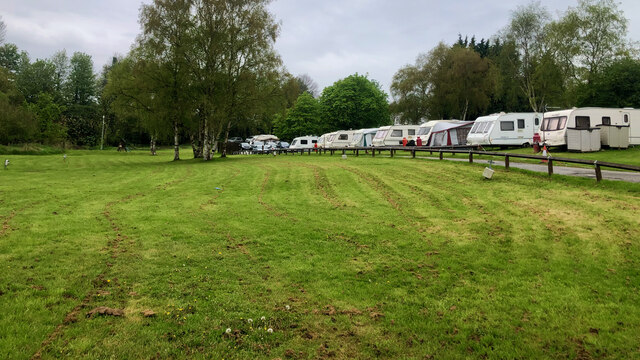
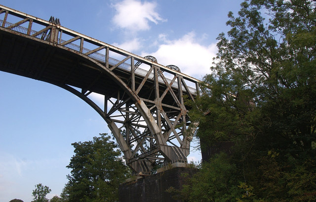
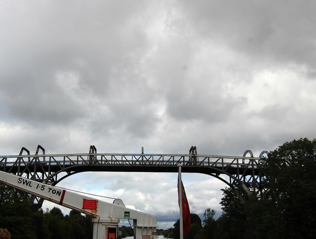
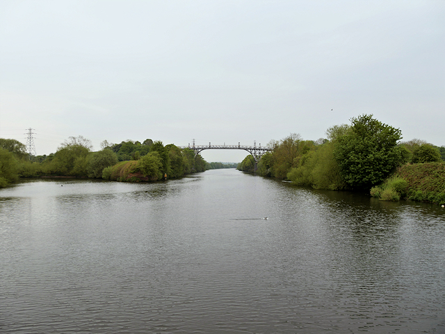
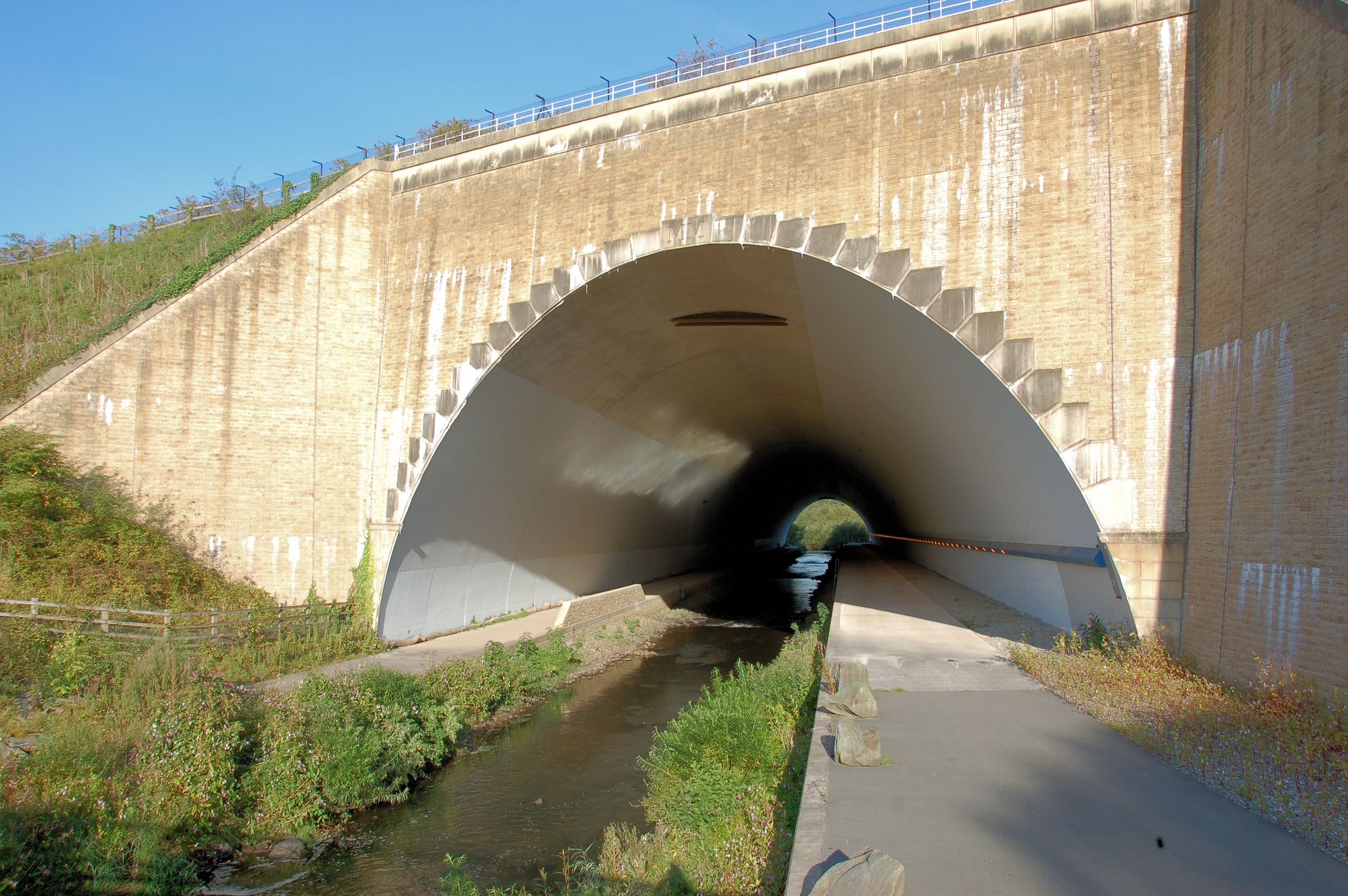
Rixton Images
Images are sourced within 2km of 53.40584/-2.4828047 or Grid Reference SJ6890. Thanks to Geograph Open Source API. All images are credited.


Rixton is located at Grid Ref: SJ6890 (Lat: 53.40584, Lng: -2.4828047)
Unitary Authority: Warrington
Police Authority: Cheshire
What 3 Words
///butternut.filed.winded. Near Lymm, Cheshire
Nearby Locations
Related Wikis

Rixton Clay Pits
Rixton Clay Pits (also known as Rixton Claypits) is a former clay extraction site in Rixton, near Hollins Green, Warrington, England. Formerly farmland...
River Bollin
The River Bollin is a major tributary of the River Mersey in the north-west of England. It rises in Macclesfield Forest at the western end of the Peak...

Hollins Green
Hollins Green is a village on the eastern edge of Warrington, in the Warrington district, in the ceremonial county of Cheshire and formerly in the historic...

St Werburgh's Church, Warburton
St Werburgh's Church is the name of two separate churches in the village of Warburton, Greater Manchester, England. The older church is located to the...
Nearby Amenities
Located within 500m of 53.40584,-2.4828047Have you been to Rixton?
Leave your review of Rixton below (or comments, questions and feedback).