Lane End
Settlement in Shropshire
England
Lane End
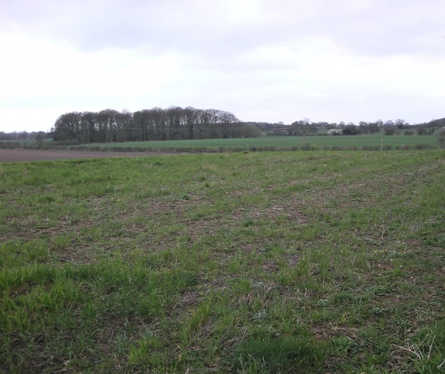
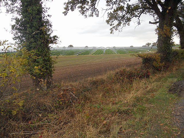
Lane End is a charming village located in the county of Shropshire, England. Situated in the picturesque countryside, Lane End is known for its idyllic setting and tranquility. The village is nestled amidst rolling hills and lush green fields, offering breathtaking views of the surrounding natural beauty.
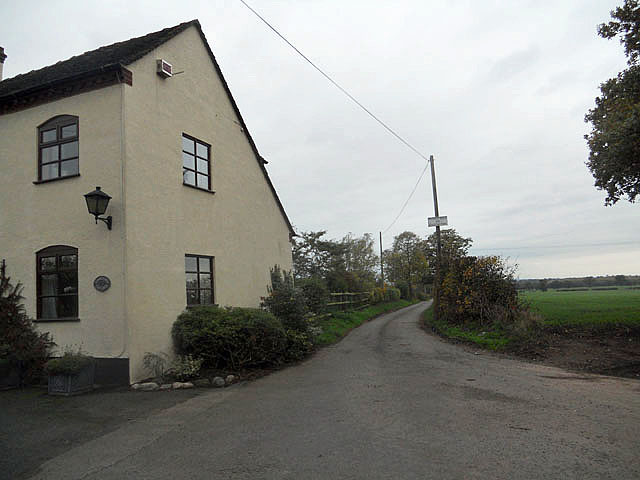
Lane End is a small village with a close-knit community. The population consists of friendly and welcoming residents who take pride in maintaining the village's traditional character. The architecture in Lane End reflects its rich history, with many old stone cottages and buildings still standing today.
The village is home to a few essential amenities, including a local pub and a small convenience store, providing residents with basic necessities. For further amenities and services, the nearby town of Shrewsbury is easily accessible.
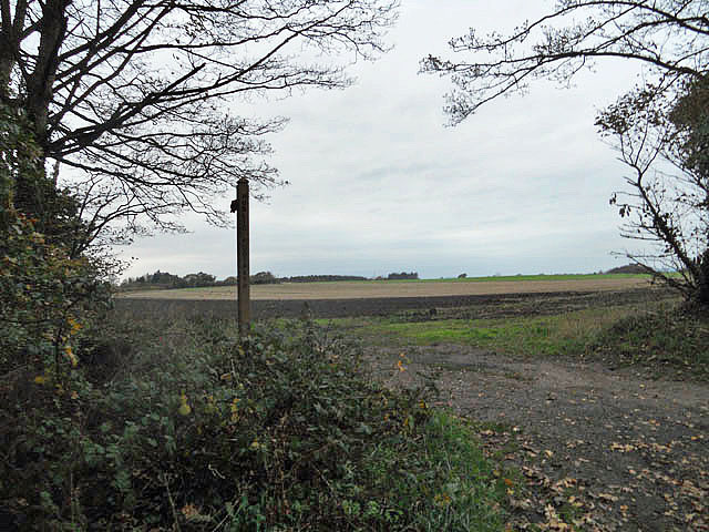
Nature lovers will find Lane End to be a haven. The village is surrounded by an abundance of walking trails and scenic routes, making it an ideal location for outdoor enthusiasts. The nearby Shropshire Hills Area of Outstanding Natural Beauty offers endless opportunities for hiking, cycling, and exploring the stunning landscapes.
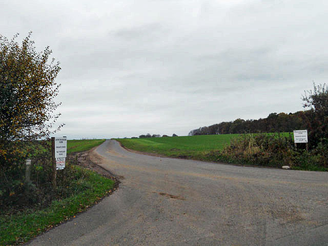
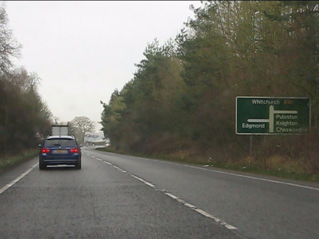
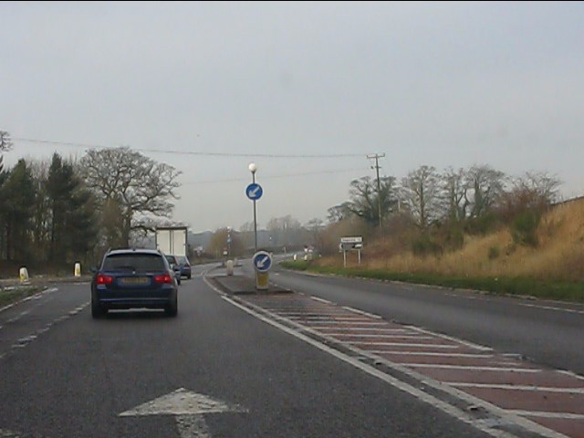
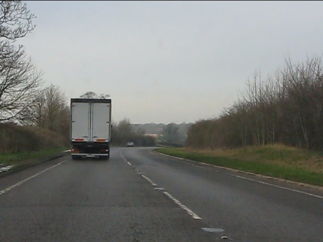
Lane End is also well-connected to other parts of the region. The village is conveniently located near major road networks, allowing for easy access to nearby towns and cities. The closest railway station is a short drive away, providing convenient transportation options for those looking to explore further afield.
Overall, Lane End is a picturesque and peaceful village, offering a tranquil escape from the hustle and bustle of city life. Its natural beauty and sense of community make it an attractive place to live or visit for those seeking a slower pace of life.
If you have any feedback on the listing, please let us know in the comments section below.
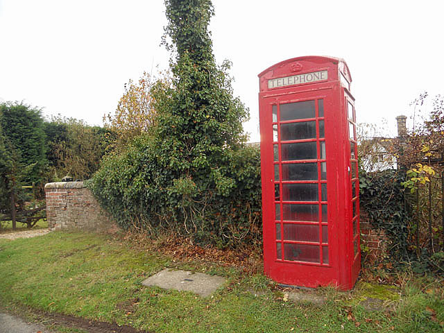
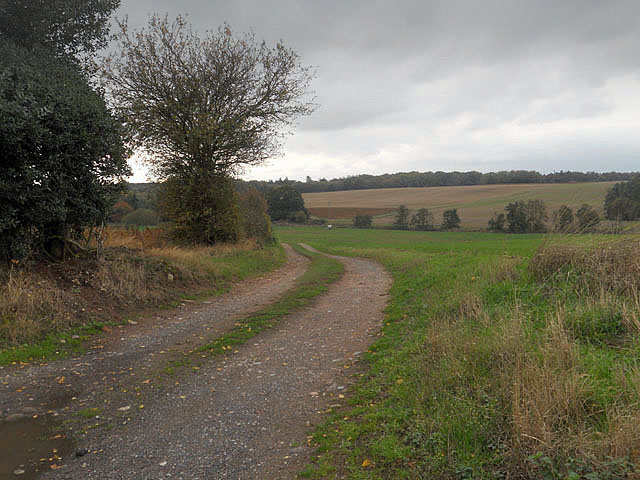
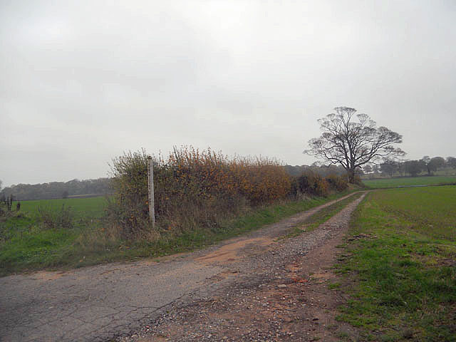
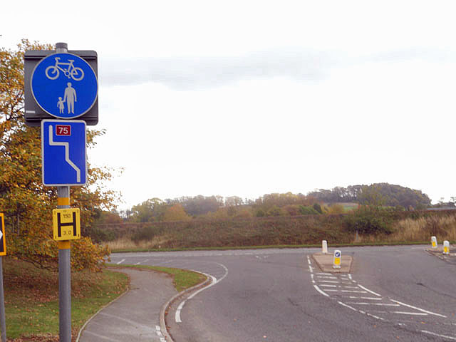
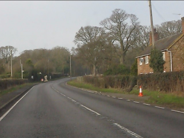
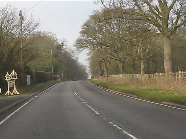
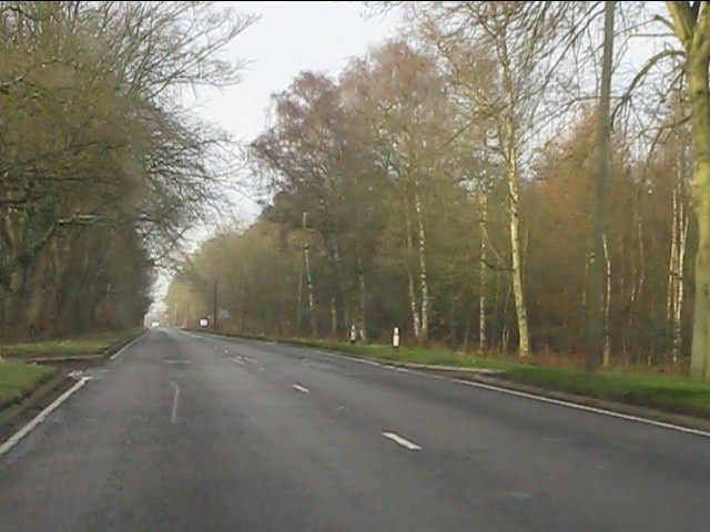
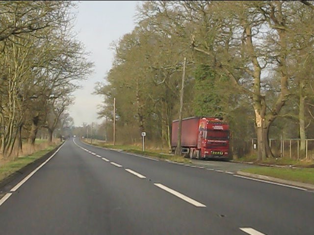
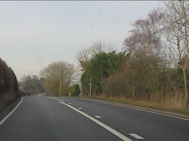
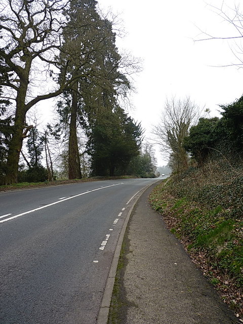
Lane End Images
Images are sourced within 2km of 52.795052/-2.4153246 or Grid Reference SJ7222. Thanks to Geograph Open Source API. All images are credited.
Lane End is located at Grid Ref: SJ7222 (Lat: 52.795052, Lng: -2.4153246)
Unitary Authority: Telford and Wrekin
Police Authority: West Merica
What 3 Words
///messaging.squaring.scatter. Near Chetwynd, Shropshire
Nearby Locations
Related Wikis

Pickstock
Pickstock is a hamlet in the civil parish of Chetwynd, in the Telford and Wrekin district, in the ceremonial county of Shropshire, England. It is near...

Chetwynd Park estate
The Chetwynd Park estate lies in the small village of Chetwynd on the outskirts of the town of Newport, Shropshire, England. The estate is positioned in...

Chetwynd, Shropshire
Chetwynd is a rural civil parish just to the north of Newport, Shropshire in England. Although the parish contains no substantial nucleated settlements...

Chetwynd Park
Chetwynd Park is an 18th-century landscape garden with woodland, on the edge of Newport, Shropshire. The park can trace its history back to 1388, when...
Nearby Amenities
Located within 500m of 52.795052,-2.4153246Have you been to Lane End?
Leave your review of Lane End below (or comments, questions and feedback).