Colloggett Hill

Hill, Mountain in Cornwall

England

Colloggett Hill

River Tamar, near Landulph Looking from the water to the bank on the Cornish side between Neal Point and Weir Point.
River Tamar, near Landulph Credit: Stephen McKay

Colloggett Hill is a prominent geological feature located in Cornwall, England. Rising to an elevation of 372 meters (1,220 feet) above sea level, it is classified as a hill rather than a mountain due to its height. The hill is situated near the town of Liskeard and offers stunning panoramic views of the surrounding countryside.

Colloggett Hill is known for its rugged terrain, characterized by rocky outcrops and patches of dense vegetation. It is a popular destination for hikers and nature enthusiasts, who come to explore the various walking trails that crisscross the hillside. The area is also home to a diverse array of wildlife, including birds of prey and rare plant species.

In addition to its natural beauty, Colloggett Hill has historical significance as well. The remains of ancient settlements have been discovered on the hill, indicating that it has been inhabited for thousands of years. Today, it serves as a peaceful retreat for those looking to escape the hustle and bustle of modern life and reconnect with nature.

If you have any feedback on the listing, please let us know in the comments section below.

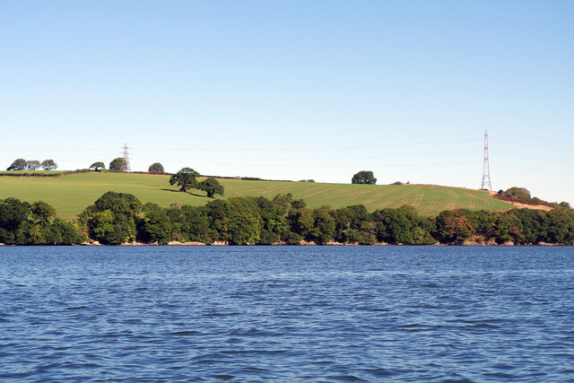
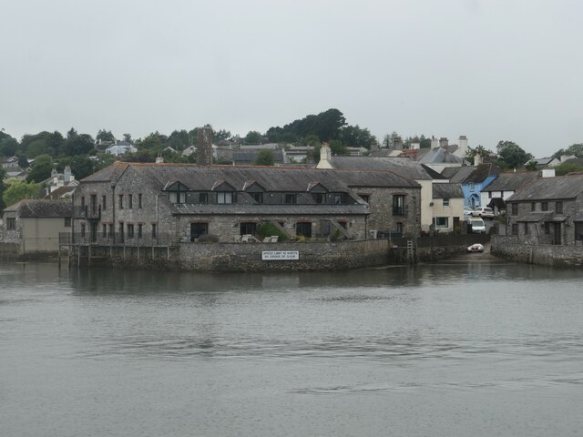
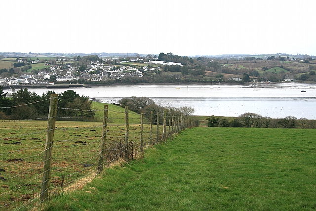
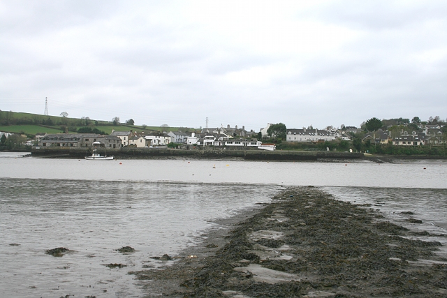
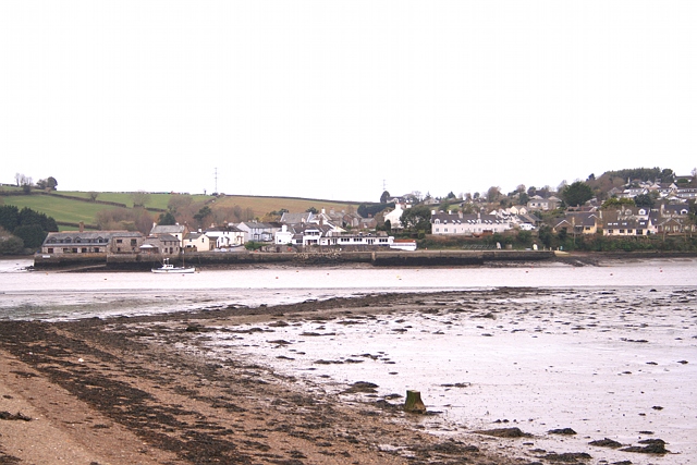
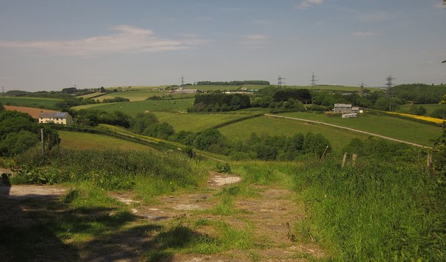
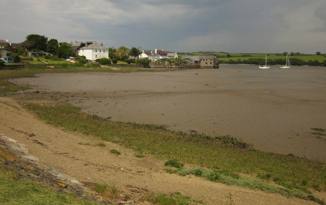
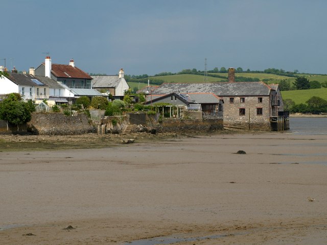
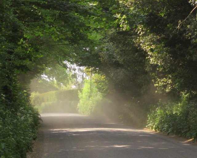
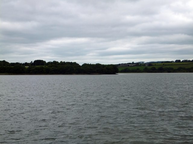
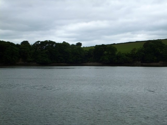
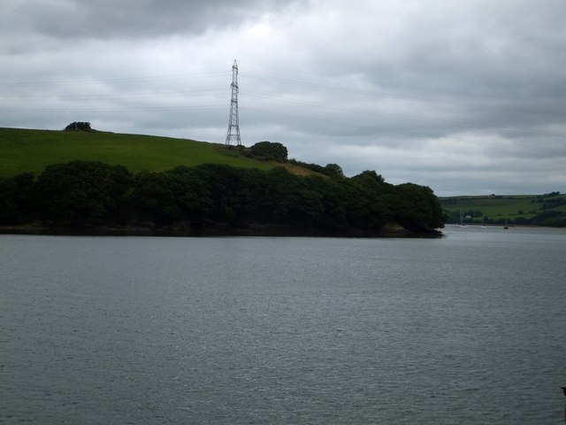
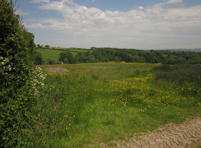
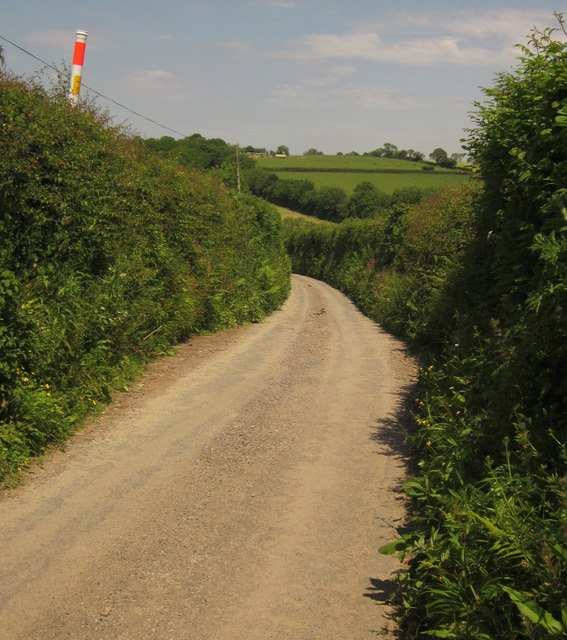
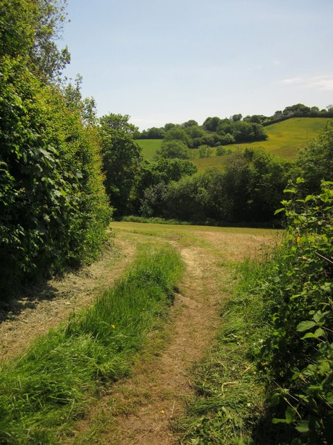
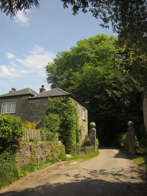
Colloggett Hill Images

Images are sourced within 2km of 50.436629/-4.2215165 or Grid Reference SX4262. Thanks to Geograph Open Source API. All images are credited.

River Tamar, near Landulph Looking from the water to the bank on the Cornish side between Neal Point and Weir Point.
River Tamar, near Landulph
Looking from the water to the bank on the Cornish side between Neal Point and Weir Point.
Former Botus Fleming Wesleyan Chapel
Moored yacht, River Tamar Between Thorn Point and Weir Point. The boat is pointing downstream as the tide comes in. On the east bank are fields near New Barn Farm.
Moored yacht, River Tamar
Between Thorn Point and Weir Point. The boat is pointing downstream as the tide comes in. On the east bank are fields near New Barn Farm.
Quay and slipway, off Fore Street, Cargreen On the Cornish side of the River Tamar.
Quay and slipway, off Fore Street, Cargreen
On the Cornish side of the River Tamar.
Footpath to Thorn Point Footpath 87 descends towards the saltmarsh lining the east bank of the Tamar estuary. Beyond, the path crosses the beach towards the hard for the ferry to Cargreen.
Footpath to Thorn Point
Footpath 87 descends towards the saltmarsh lining the east bank of the Tamar estuary. Beyond, the path crosses the beach towards the hard for the ferry to Cargreen.
Thorn Point ferry hard Ferry hard extending to the river edge at low water, with Cargreen quay visible opposite.
Thorn Point ferry hard
Ferry hard extending to the river edge at low water, with Cargreen quay visible opposite.
Thorn Point ferry hard The ferry hard seen extending to low water mark, with Cargreen visible on the far side of the Tamar estuary.
Thorn Point ferry hard
The ferry hard seen extending to low water mark, with Cargreen visible on the far side of the Tamar estuary.
Countryside at Kingsmill Park The valley soon leads to Kingsmill Lake, a creek on the Tamar estuary. The house on the right is new.
Countryside at Kingsmill Park
The valley soon leads to Kingsmill Lake, a creek on the Tamar estuary. The house on the right is new.
Cargreen As <a href="https://www.geograph.org.uk/photo/2260056">SX4362 : Cargreen seen from footpath in 1992</a> shows, the village is on a promontory jutting out into the Tamar estuary.
Cargreen
As SX4362 : Cargreen seen from footpath in 1992 shows, the village is on a promontory jutting out into the Tamar estuary.
Cargreen A closer look at the buildings at the end of the promontory shown in <a href="https://www.geograph.org.uk/photo/3506051">SX4362 : Cargreen</a>.
Cargreen
A closer look at the buildings at the end of the promontory shown in SX4362 : Cargreen.
Road at Wayton Sunshine filters through the dust raised by the passage of cars on this quite busy road.
Road at Wayton
Sunshine filters through the dust raised by the passage of cars on this quite busy road.
Skinham Point seen from the Tamar The wooded point is the end of the Kingsmill Lake inlet.  The tide was high so the inlet was full of water
Skinham Point seen from the Tamar
The wooded point is the end of the Kingsmill Lake inlet. The tide was high so the inlet was full of water
The bay on the Tamar at Parsons Quay A wooded bay on the Cornish bank of the river, whose access is now a riverside footpath
The bay on the Tamar at Parsons Quay
A wooded bay on the Cornish bank of the river, whose access is now a riverside footpath
Weir Point and electricity pylon The pylon is higher than usual to allow the cables to cross the river.
Weir Point and electricity pylon
The pylon is higher than usual to allow the cables to cross the river.
Field by Clarke's Lake Clarke's Lake is the stream running at the foot of this field, most of which is in <a href="https://www.geograph.org.uk/gridref/SX4161">SX4161</a>. Footpath 636/6/1 runs across the centre of the field, but seems to give up when it reaches the stream.
Field by Clarke's Lake
Clarke's Lake is the stream running at the foot of this field, most of which is in SX4161. Footpath 636/6/1 runs across the centre of the field, but seems to give up when it reaches the stream.
Lane near East Town Farm The field shown in <a href="https://www.geograph.org.uk/photo/3541119">SX4061 : Field by Clarke's Lake</a> is behind the hedgebank on the right, and the lane is descending from the farm into the Clarke's Lake valley.
Lane near East Town Farm
The field shown in SX4061 : Field by Clarke's Lake is behind the hedgebank on the right, and the lane is descending from the farm into the Clarke's Lake valley.
Clarke's Lake valley From the lane to Moditonham House, beside the lodges.
Clarke's Lake valley
From the lane to Moditonham House, beside the lodges.
Gateposts and lodge, Moditonham The pair of lodges (this is the North Lodge) and the gateposts are listed together  <span class="nowrap"><a title="http://list.english-heritage.org.uk/resultsingle.aspx?uid=1329309&searchtype=mapsearch" rel="nofollow ugc noopener" href="http://list.english-heritage.org.uk/resultsingle.aspx?uid=1329309&searchtype=mapsearch">Link</a><img style="margin-left:2px;" alt="External link" title="External link - shift click to open in new window" src="https://s1.geograph.org.uk/img/external.png" width="10" height="10"/></span> . They date from the late C18. The road continues to be public after passing between the gateposts, running for a further kilometre to a dead end at the tidal Kingsmill Lake.
Gateposts and lodge, Moditonham
The pair of lodges (this is the North Lodge) and the gateposts are listed together LinkExternal link . They date from the late C18. The road continues to be public after passing between the gateposts, running for a further kilometre to a dead end at the tidal Kingsmill Lake.
Show me another place!

Colloggett Hill is located at Grid Ref: SX4262 (Lat: 50.436629, Lng: -4.2215165)

Unitary Authority: Cornwall

Police Authority: Devon and Cornwall

What 3 Words

///jokers.easels.diver. Near Saltash, Cornwall

Related Wikis

Landulph

Landulph (Cornish: Lanndhylyk) is a hamlet and a rural civil parish in south-east Cornwall, England, United Kingdom. It is about 3 miles (5 km) north of...

Cargreen

Cargreen (Cornish: Karrekreun) is a small settlement in southeast Cornwall, England, United Kingdom. It is situated beside the River Tamar approximately...

Carkeel

Carkeel is a hamlet north of Saltash in southeast Cornwall, England. == References ==

Botusfleming

Botus Fleming or Botusfleming (Cornish: Bosflumyes) is a village and civil parish in southeast Cornwall, England, United Kingdom. The 2001 census gives...

Nearby Amenities

Located within 500m of 50.436629,-4.2215165
Source: PGS
Lat/Long: 50.4359044/-4.2281921
Power: tower
Source: bing
Lat/Long: 50.4379262/-4.2202822
Power: tower
Source: bing
Lat/Long: 50.4381616/-4.2230454
Power: tower
Source: bing
Lat/Long: 50.4385244/-4.2273506
Barrier: yes
Lat/Long: 50.432645/-4.2187153
The data included in this document is from www.openstreetmap.org. The data is made available under ODbL.

Have you been to Colloggett Hill?

Leave your review of Colloggett Hill below (or comments, questions and feedback).