Knightwick
Civil Parish in Worcestershire Malvern Hills
England
Knightwick
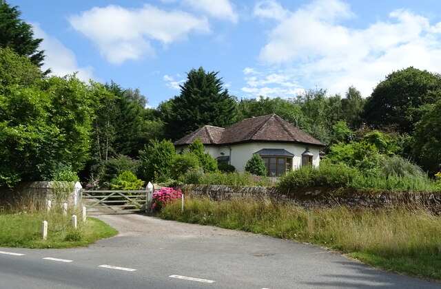
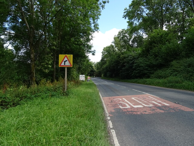
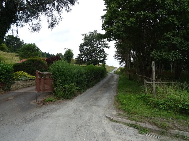
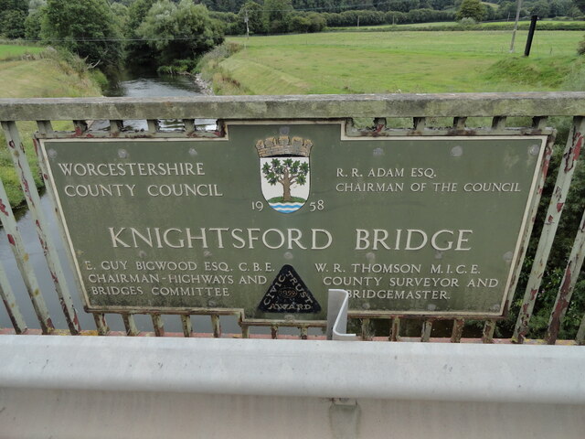
Knightwick is a civil parish located in the county of Worcestershire, England. Situated in the Malvern Hills District, the village is nestled in the picturesque Teme Valley, surrounded by rolling countryside. It lies approximately 12 miles northwest of the city of Worcester.
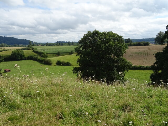
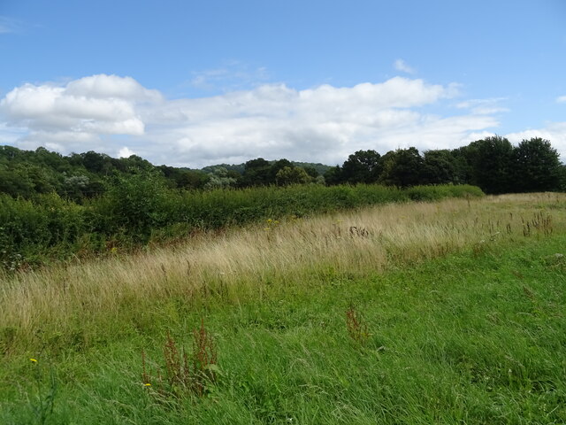
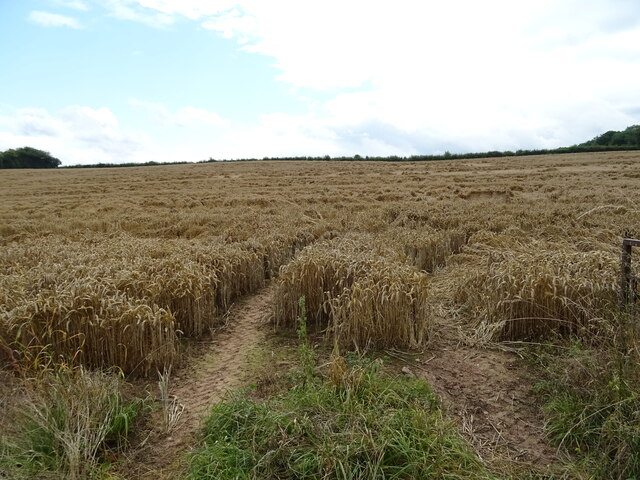
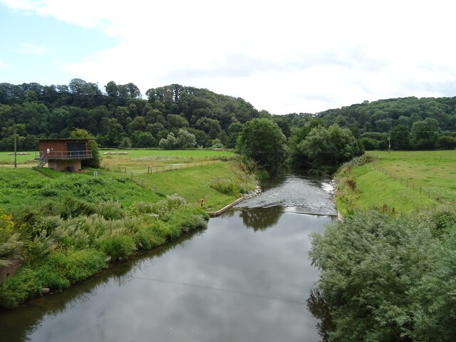
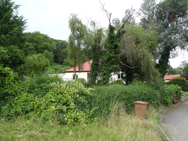
The village is primarily known for its stunning natural beauty, attracting visitors and nature enthusiasts alike. The River Teme meanders through Knightwick, offering opportunities for leisurely walks along its banks and fishing activities. The undulating landscape is adorned with lush green fields, woodlands, and charming cottages, creating a tranquil and idyllic setting.
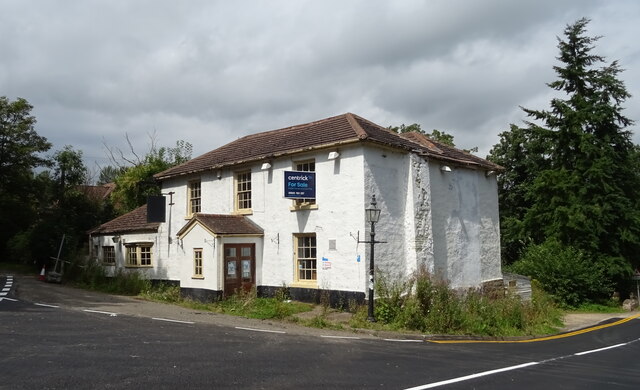
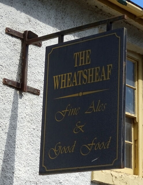
Knightwick has a close-knit community with a population of around 400 residents. The village features a few local amenities, including a village hall and a traditional pub, providing a gathering place for locals and visitors. The pub offers a warm and friendly atmosphere, serving delicious food and a range of beverages.
The surrounding area offers a wealth of outdoor activities and attractions. The nearby Malvern Hills, designated an Area of Outstanding Natural Beauty, provide opportunities for hiking, mountain biking, and horse riding. The historic city of Worcester is within easy reach, offering cultural landmarks, shopping opportunities, and a range of entertainment options.
Overall, Knightwick, Worcestershire, offers a peaceful and picturesque retreat for those seeking to escape the hustle and bustle of city life. With its natural beauty, friendly community, and access to outdoor activities, it is a haven for nature lovers and a charming destination to explore.
If you have any feedback on the listing, please let us know in the comments section below.
Knightwick Images
Images are sourced within 2km of 52.192006/-2.402005 or Grid Reference SO7254. Thanks to Geograph Open Source API. All images are credited.
Knightwick is located at Grid Ref: SO7254 (Lat: 52.192006, Lng: -2.402005)
Administrative County: Worcestershire
District: Malvern Hills
Police Authority: West Mercia
What 3 Words
///switched.heartless.nips. Near Bromyard, Herefordshire
Nearby Locations
Related Wikis

Knightwick
Knightwick is a small village and civil parish (with Doddenham) in the Malvern Hills district in the county of Worcestershire, England. == History... ==

Suckley railway station
Suckley railway station was a station in Suckley, Worcestershire, England. The station was opened on 1 March 1878 and closed on 7 September 1964. ��2...
Osebury Rock
Osebury Rock (also known as Oseberrow or Rosebury) is a cliff on the River Teme near Lulsley in Worcestershire, England where fragmentary rocks of the...

Knightwick railway station
Knightwick railway station was a station in Knightwick, Worcestershire, England. The station was opened on 2 May 1874 and closed on 7 September 1964....

Whitbourne, Herefordshire
Whitbourne (Anglo-Saxon for "white stream") is a village in Eastern Herefordshire, England on the banks of the River Teme and close to the A44. It is close...

Ankerdine Hill
Ankerdine Hill is a hill with a summit at 149 metres (489 ft) above sea level, in the civil parish of Doddenham in the Malvern Hills district of Worcestershire...
Lulsley
Lulsley is a village and civil parish in the Malvern Hills District of the county of Worcestershire, England, UK. == History == Lulsley was in the upper...
Yearsett railway station
Yearsett railway station was a station to the southeast of Brockhampton, Herefordshire, England. The station was opened on 2 May 1874 as a temporary terminus...
Nearby Amenities
Located within 500m of 52.192006,-2.402005Have you been to Knightwick?
Leave your review of Knightwick below (or comments, questions and feedback).