Coalpits Wood

Wood, Forest in Worcestershire Malvern Hills

England

Coalpits Wood

A44 approaching Sapey Bridge Towards Worcester.
A44 approaching Sapey Bridge Credit: JThomas

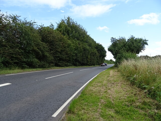
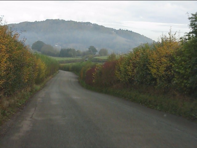
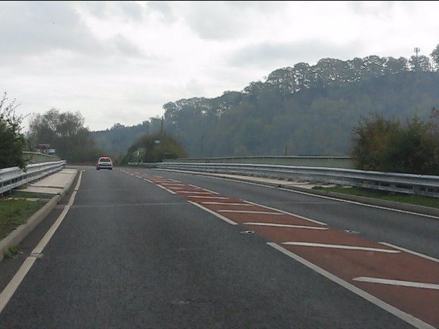
Coalpits Wood is a woodland area located in Worcestershire, England. Covering an area of approximately 100 hectares, it forms part of the larger Wyre Forest complex. The wood is situated near the village of Bewdley and is easily accessible via public footpaths and roads.

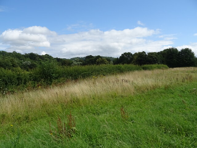
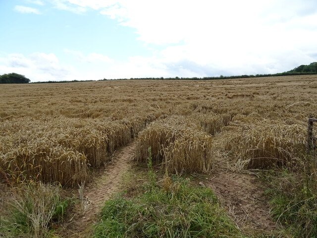
Coalpits Wood is predominantly made up of deciduous trees, including oak, ash, and birch, which provide a diverse and rich habitat for local flora and fauna. The forest floor is covered with a carpet of bluebells and other wildflowers during the spring, creating a picturesque scene. The wood is also home to a variety of wildlife, including deer, foxes, badgers, and a wide range of bird species, making it a popular spot for nature enthusiasts and birdwatchers.

The management of Coalpits Wood is carried out by the Worcestershire County Council, who ensure the preservation and conservation of the area. The wood is carefully managed to maintain its ecological balance and to encourage biodiversity. Regular maintenance work is undertaken to clear fallen trees and maintain footpaths, ensuring visitors can enjoy the wood safely.

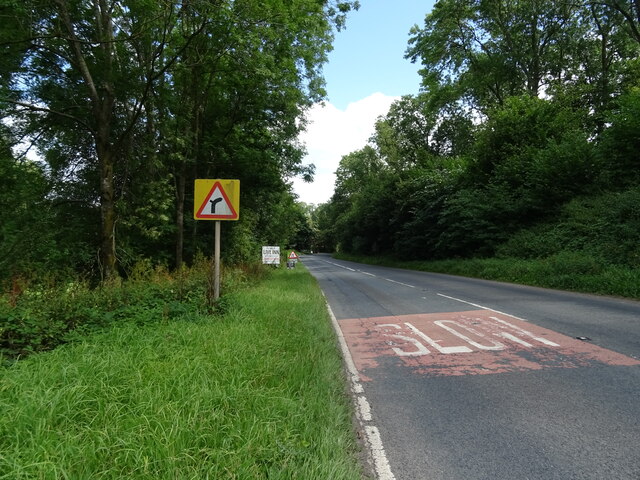
Coalpits Wood offers a range of recreational activities for visitors. There are well-marked trails and paths for walking, cycling, and horse riding, allowing visitors to explore the wood and appreciate its natural beauty. Picnic areas and benches are scattered throughout the wood, providing opportunities for relaxation and enjoyment of the surroundings.

Overall, Coalpits Wood is a beautiful and well-maintained woodland area that offers a tranquil escape from the hustle and bustle of urban life. With its diverse flora and fauna, it provides a haven for both wildlife and visitors alike.

If you have any feedback on the listing, please let us know in the comments section below.

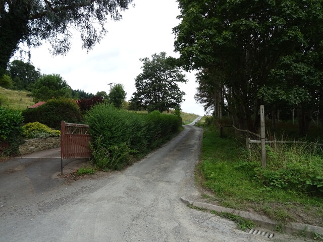
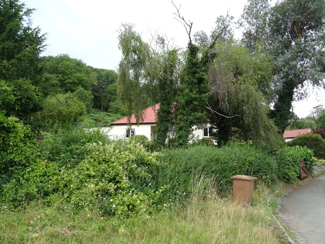
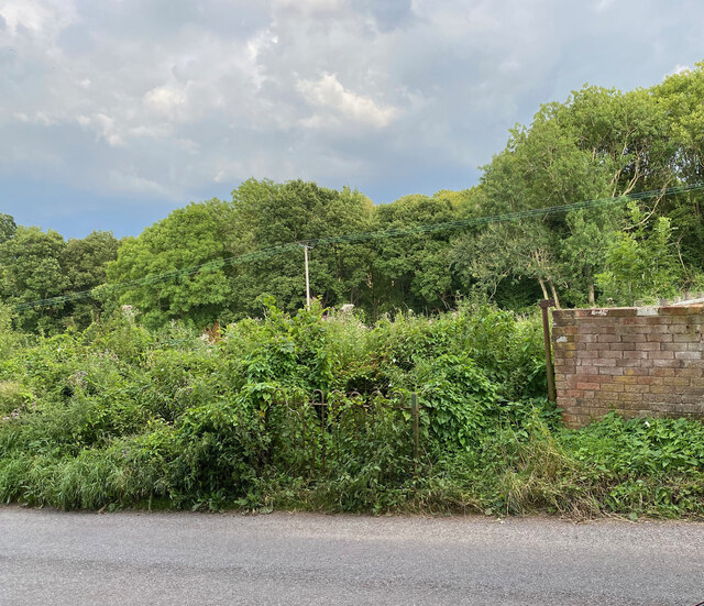
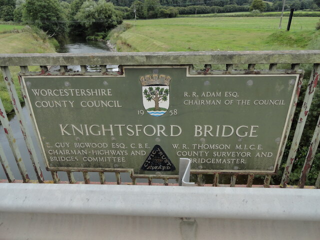
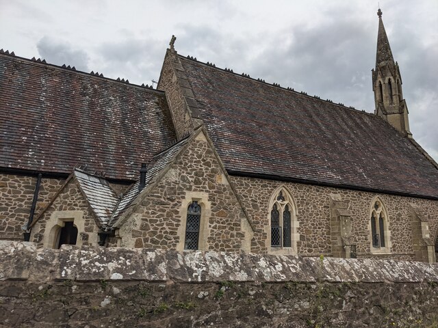
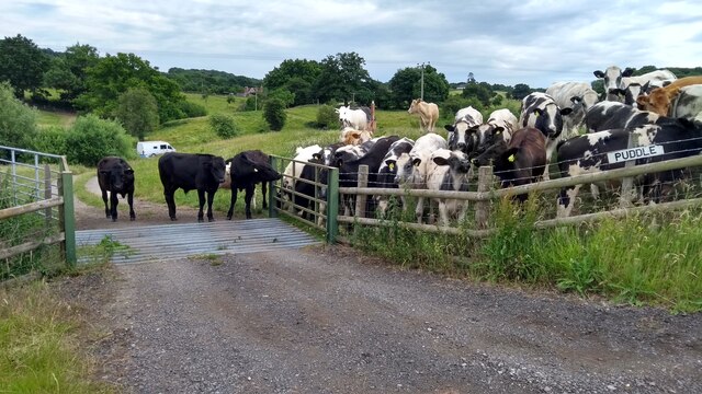
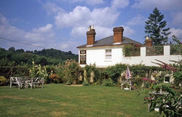
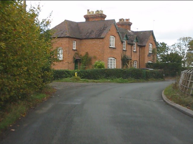
Coalpits Wood Images

Images are sourced within 2km of 52.189169/-2.397862 or Grid Reference SO7254. Thanks to Geograph Open Source API. All images are credited.

A44 approaching Sapey Bridge Towards Worcester.
A44 approaching Sapey Bridge
Towards Worcester.
The Wheatsheaf, Whitbourne Currently closed and for sale.
The Wheatsheaf, Whitbourne
Currently closed and for sale.
Sign for the Wheatsheaf, Whitbourne
Grassland beside the A44, Sapey Bridge
Cereal crop, Sapey Bridge South of the A44.
Cereal crop, Sapey Bridge
South of the A44.
A44, Sapey Bridge Towards Worcester.
A44, Sapey Bridge
Towards Worcester.
Weir on the River Teme, Knightwick View from Knightsford Bridge.
Weir on the River Teme, Knightwick
View from Knightsford Bridge.
A44, Knightsford Bridge Towards Worcester.
A44, Knightsford Bridge
Towards Worcester.
Track (footpath) off the A44, Darbys Green
Shortlands House on the A44, Darbys Green.
Shortlands
House on the A44, Darbys Green.
Location of Suckley FBM <span class="nowrap"><a title="http://trigpointing.uk/trig/532" rel="nofollow ugc noopener" href="http://trigpointing.uk/trig/532">Link</a><img style="margin-left:2px;" alt="External link" title="External link - shift click to open in new window" src="https://s1.geograph.org.uk/img/external.png" width="10" height="10"/></span>
Location of Suckley FBM
Old Bridge Marker on the A44 Bridge Marker fixed to the south parapet of Knightsford Bridge, River Teme, on the A44. On the boundary of Knightwick and Doddenham parishes. See also <a title="https://www.geograph.org.uk/photo/554531" href="https://www.geograph.org.uk/photo/554531">Link</a>.

Milestone Society National ID: WO_KNIDOD01br
Old Bridge Marker on the A44
Bridge Marker fixed to the south parapet of Knightsford Bridge, River Teme, on the A44. On the boundary of Knightwick and Doddenham parishes. See also Link. Milestone Society National ID: WO_KNIDOD01br
Former St. Mary's church (Knightwick) Built by A. E. Jenkins in 1856, the church was converted as a private house in the 2000s. This was taken from the B4197 road.
Former St. Mary's church (Knightwick)
Built by A. E. Jenkins in 1856, the church was converted as a private house in the 2000s. This was taken from the B4197 road.
The escape is off Thwarted cows look on, failed by the Escape Committee missing one small detail in their cunning plan.
The escape is off
Thwarted cows look on, failed by the Escape Committee missing one small detail in their cunning plan.
Garden at the Fox & Hounds Inn Excellent country pub with a good-sized garden and children's play area for the summer months.
Garden at the Fox & Hounds Inn
Excellent country pub with a good-sized garden and children's play area for the summer months.
Houses near The Grove Farm
Heading for Ankerdine Hill The lane from Suckley approaching Knightwick.
Heading for Ankerdine Hill
The lane from Suckley approaching Knightwick.
A44 crosses the River Teme at Knightwick Although the OS map calls it Knightsford Bridge, all locals I've come across call it Knightwick Bridge.
A44 crosses the River Teme at Knightwick
Although the OS map calls it Knightsford Bridge, all locals I've come across call it Knightwick Bridge.
Show me another place!

Coalpits Wood is located at Grid Ref: SO7254 (Lat: 52.189169, Lng: -2.397862)

Administrative County: Worcestershire

District: Malvern Hills

Police Authority: West Mercia

What 3 Words

///fuss.ignore.imparting. Near Evesbatch, Herefordshire

Related Wikis

Knightwick railway station

Knightwick railway station was a station in Knightwick, Worcestershire, England. The station was opened on 2 May 1874 and closed on 7 September 1964....

Suckley railway station

Suckley railway station was a station in Suckley, Worcestershire, England. The station was opened on 1 March 1878 and closed on 7 September 1964. ��2...

Osebury Rock

Osebury Rock (also known as Oseberrow or Rosebury) is a cliff on the River Teme near Lulsley in Worcestershire, England where fragmentary rocks of the...

Knightwick

Knightwick is a small village and civil parish (with Doddenham) in the Malvern Hills district in the county of Worcestershire, England. == History... ==

Lulsley

Lulsley is a village and civil parish in the Malvern Hills District of the county of Worcestershire, England, UK. == History == Lulsley was in the upper...

Ankerdine Hill

Ankerdine Hill is a hill with a summit at 149 metres (489 ft) above sea level, in the civil parish of Doddenham in the Malvern Hills district of Worcestershire...

Whitbourne, Herefordshire

Whitbourne (Anglo-Saxon for "white stream") is a village in Eastern Herefordshire, England on the banks of the River Teme and close to the A44. It is close...

Yearsett railway station

Yearsett railway station was a station to the southeast of Brockhampton, Herefordshire, England. The station was opened on 2 May 1874 as a temporary terminus...

Nearby Amenities

Located within 500m of 52.189169,-2.397862
Power: tower
Lat/Long: 52.1866355/-2.3946803
Power: tower
Lat/Long: 52.1890621/-2.3930009
Power: pole
Lat/Long: 52.1856003/-2.3942758
Power: pole
Lat/Long: 52.1862681/-2.3931992
Power: pole
Lat/Long: 52.1874985/-2.3917977
Power: pole
Lat/Long: 52.188308/-2.3908396
Brickhall Farm
Power: pole
Transformer: distribution
Voltage Primary: 11000
Lat/Long: 52.1865818/-2.4034738
Workhouse Cottage
Power: pole
Transformer: distribution
Voltage Primary: 11000
Lat/Long: 52.191409/-2.4015079
Power: pole
Lat/Long: 52.1915756/-2.4020786
Power: pole
Lat/Long: 52.1917511/-2.4026873
Power: pole
Lat/Long: 52.1918967/-2.4031795
The data included in this document is from www.openstreetmap.org. The data is made available under ODbL.

Have you been to Coalpits Wood?

Leave your review of Coalpits Wood below (or comments, questions and feedback).