Piper's Coppice

Wood, Forest in Worcestershire Malvern Hills

England

Piper's Coppice

Lodge on the A44
Lodge on the A44 Credit: JThomas

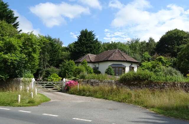
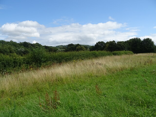
Piper's Coppice is a picturesque woodland located in Worcestershire, England. Covering an area of approximately 100 acres, it is a popular destination for nature lovers, hikers, and bird watchers. The woodland is named after the Piper family, who owned the land in the 19th century.

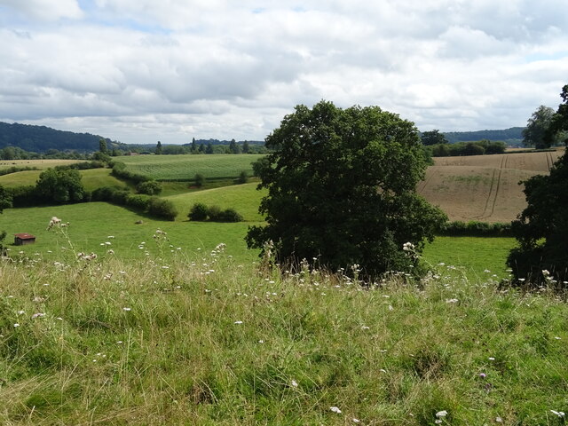
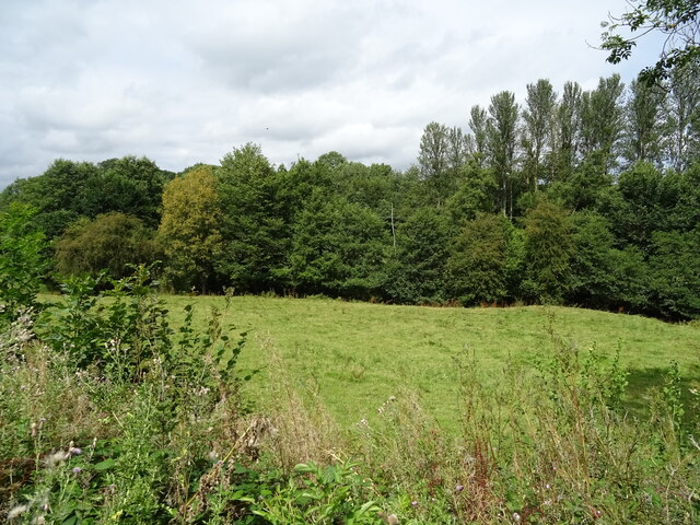
The coppice is primarily composed of broadleaf trees, including oak, beech, and ash, creating a diverse and vibrant ecosystem. The canopy provides shelter for a variety of wildlife, including woodland birds like woodpeckers, owls, and thrushes. Visitors can often spot squirrels scampering through the trees and small mammals such as hedgehogs and foxes.

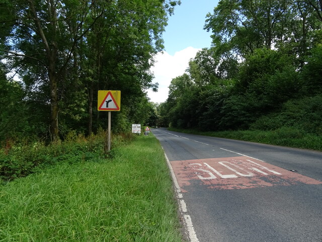
Tranquil pathways wind through the woodland, offering visitors the chance to explore its natural beauty. The network of trails is well-maintained and ranges in difficulty, catering to both casual walkers and more adventurous hikers. Along the paths, visitors can find information boards that describe the flora and fauna found in the coppice, enhancing the educational experience.

Piper's Coppice is also known for its abundance of wildflowers that bloom in the spring and summer, creating a vibrant carpet of colors. Bluebells, primroses, and daffodils are just a few of the species that paint the forest floor during these seasons.

Whether it's a leisurely stroll through the woods, a bird-watching expedition, or simply a peaceful escape from the hustle and bustle of everyday life, Piper's Coppice offers a serene and enchanting experience for all who visit.

If you have any feedback on the listing, please let us know in the comments section below.

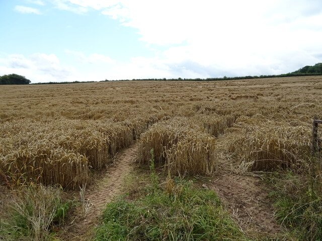
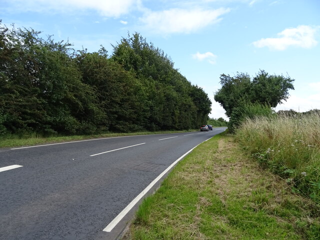
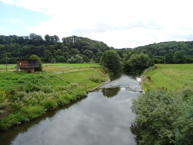
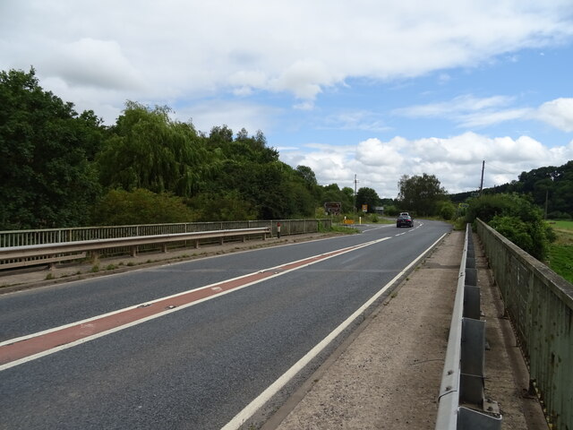
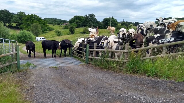
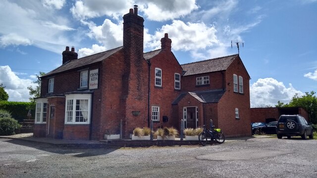
Piper's Coppice Images

Images are sourced within 2km of 52.187663/-2.4070784 or Grid Reference SO7254. Thanks to Geograph Open Source API. All images are credited.

Lodge on the A44
Lodge on the A44
Grazing off the A44
Grazing off the A44
A44 towards Worcester
Grazing towards the Sapey Brook
A44 approaching Sapey Bridge Towards Worcester.
A44 approaching Sapey Bridge
Towards Worcester.
The Wheatsheaf, Whitbourne Currently closed and for sale.
The Wheatsheaf, Whitbourne
Currently closed and for sale.
Sign for the Wheatsheaf, Whitbourne
Grassland beside the A44, Sapey Bridge
Cereal crop, Sapey Bridge South of the A44.
Cereal crop, Sapey Bridge
South of the A44.
A44, Sapey Bridge Towards Worcester.
A44, Sapey Bridge
Towards Worcester.
Weir on the River Teme, Knightwick View from Knightsford Bridge.
Weir on the River Teme, Knightwick
View from Knightsford Bridge.
A44, Knightsford Bridge Towards Worcester.
A44, Knightsford Bridge
Towards Worcester.
Elizabeth II postbox on the A44, Bringsty Common Postbox No. WR6 140.
Elizabeth II postbox on the A44, Bringsty Common
Postbox No. WR6 140.
Location of Suckley FBM <span class="nowrap"><a title="http://trigpointing.uk/trig/532" rel="nofollow ugc noopener" href="http://trigpointing.uk/trig/532">Link</a><img style="margin-left:2px;" alt="External link" title="External link - shift click to open in new window" src="https://s1.geograph.org.uk/img/external.png" width="10" height="10"/></span>
Location of Suckley FBM
Old Bridge Marker on the A44 Bridge Marker fixed to the south parapet of Knightsford Bridge, River Teme, on the A44. On the boundary of Knightwick and Doddenham parishes. See also <a title="https://www.geograph.org.uk/photo/554531" href="https://www.geograph.org.uk/photo/554531">Link</a>.

Milestone Society National ID: WO_KNIDOD01br
Old Bridge Marker on the A44
Bridge Marker fixed to the south parapet of Knightsford Bridge, River Teme, on the A44. On the boundary of Knightwick and Doddenham parishes. See also Link. Milestone Society National ID: WO_KNIDOD01br
Former St. Mary's church (Knightwick) Built by A. E. Jenkins in 1856, the church was converted as a private house in the 2000s. This was taken from the B4197 road.
Former St. Mary's church (Knightwick)
Built by A. E. Jenkins in 1856, the church was converted as a private house in the 2000s. This was taken from the B4197 road.
The escape is off Thwarted cows look on, failed by the Escape Committee missing one small detail in their cunning plan.
The escape is off
Thwarted cows look on, failed by the Escape Committee missing one small detail in their cunning plan.
The Cross Keys on a summer Sunday
Show me another place!

Piper's Coppice is located at Grid Ref: SO7254 (Lat: 52.187663, Lng: -2.4070784)

Administrative County: Worcestershire

District: Malvern Hills

Police Authority: West Mercia

What 3 Words

///lunges.rings.peach. Near Evesbatch, Herefordshire

Related Wikis

Suckley railway station

Suckley railway station was a station in Suckley, Worcestershire, England. The station was opened on 1 March 1878 and closed on 7 September 1964. ��2...
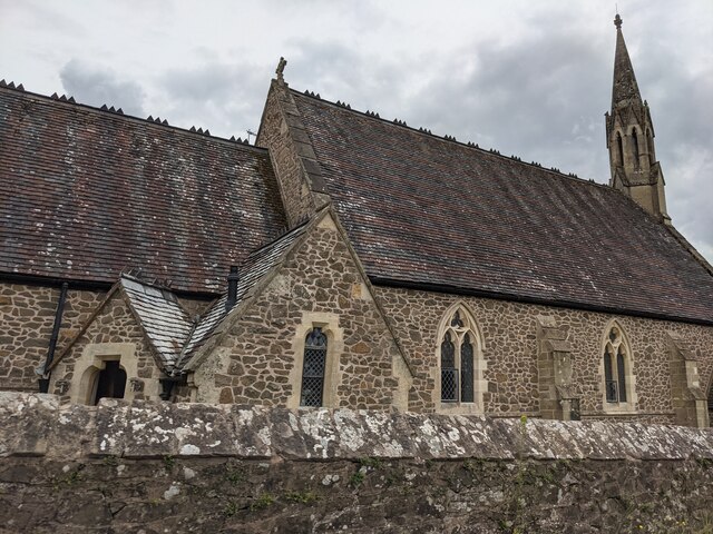
Knightwick

Knightwick is a small village and civil parish (with Doddenham) in the Malvern Hills district in the county of Worcestershire, England. == History... ==

Knightwick railway station

Knightwick railway station was a station in Knightwick, Worcestershire, England. The station was opened on 2 May 1874 and closed on 7 September 1964....

Yearsett railway station

Yearsett railway station was a station to the southeast of Brockhampton, Herefordshire, England. The station was opened on 2 May 1874 as a temporary terminus...

Osebury Rock

Osebury Rock (also known as Oseberrow or Rosebury) is a cliff on the River Teme near Lulsley in Worcestershire, England where fragmentary rocks of the...

Whitbourne, Herefordshire

Whitbourne (Anglo-Saxon for "white stream") is a village in Eastern Herefordshire, England on the banks of the River Teme and close to the A44. It is close...
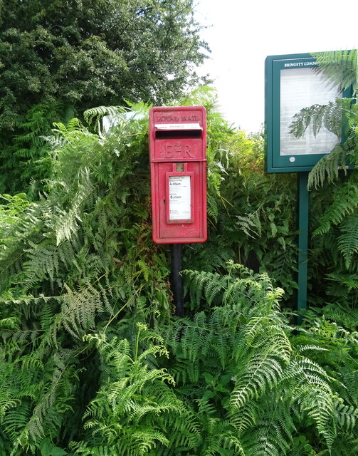
Bringsty Common

Bringsty Common is a scattered settlement and 220 acres (89 ha) of common land in Herefordshire, England, spanning the A44. It lies close to the Worcestershire...

Ankerdine Hill

Ankerdine Hill is a hill with a summit at 149 metres (489 ft) above sea level, in the civil parish of Doddenham in the Malvern Hills district of Worcestershire...

Nearby Amenities

Located within 500m of 52.187663,-2.4070784
Highfield Turn
Naptan AtcoCode: 2000G640010
Naptan Bearing: NW
Naptan BusStopType: CUS
Naptan CommonName: Highfield Turn
Naptan Indicator: Adj
Naptan Landmark: The Hoo
Naptan NaptanCode: wocgmatg
Naptan Street: New Cottages Road
Naptan Verified: no
Source: naptan_import
Lat/Long: 52.1848651/-2.4110296
Barrier: stile
Lat/Long: 52.1858499/-2.4074651
Post Box
Collection Plate: CP5
Collection Times: Mo-Fr 16:30; Sa 07:45
Post Box Mounting: brick_pillar
Post Box Type: wall
Ref: WR6 111
Royal Cypher: VR
Royal Cypher Wikidata: Q33102356
Lat/Long: 52.1839163/-2.410905
Power: pole
Lat/Long: 52.1836689/-2.410205
Power: pole
Lat/Long: 52.1845283/-2.410132
Power: pole
Lat/Long: 52.1850292/-2.4100269
Power: pole
Lat/Long: 52.1850913/-2.4094094
Power: pole
Lat/Long: 52.1851453/-2.4089275
Power: pole
Lat/Long: 52.185208/-2.4082512
Old House Farm Knightwick
Power: pole
Transformer: distribution
Voltage Primary: 11000
Lat/Long: 52.1853073/-2.4076053
The Hoo
Power: pole
Transformer: distribution
Voltage Primary: 11000
Lat/Long: 52.1853427/-2.4099712
Power: pole
Lat/Long: 52.1855239/-2.4062123
Power: pole
Lat/Long: 52.185645/-2.4054763
Power: pole
Lat/Long: 52.1856555/-2.409952
Power: pole
Lat/Long: 52.1860391/-2.4098842
Power: pole
Lat/Long: 52.1862917/-2.4098538
Power: pole
Lat/Long: 52.1866703/-2.4098072
Power: pole
Lat/Long: 52.1870663/-2.4097303
Pipers Coppice
Power: pole
Transformer: distribution
Voltage Primary: 11000
Lat/Long: 52.1874679/-2.4094033
Power: pole
Lat/Long: 52.1881878/-2.4087554
Power: pole
Lat/Long: 52.1889599/-2.4080639
Power: pole
Lat/Long: 52.1896614/-2.4074558
Power: pole
Lat/Long: 52.1903608/-2.4068413
Barrier: stile
Lat/Long: 52.1907849/-2.4058992
Power: pole
Lat/Long: 52.1910656/-2.4062177
Power: pole
Lat/Long: 52.1910895/-2.4061798
Power: pole
Lat/Long: 52.1913213/-2.4070548
Barrier: stile
Lat/Long: 52.1914143/-2.4068964
Coronation Cottage
Power: pole
Transformer: distribution
Voltage Primary: 11000
Lat/Long: 52.1914587/-2.4075687
Power: pole
Lat/Long: 52.1918236/-2.40502
Power: pole
Lat/Long: 52.1921344/-2.4077589
Highfields Farm
Power: pole
Transformer: distribution
Voltage Primary: 11000
Lat/Long: 52.1846424/-2.4024779
Power: pole
Lat/Long: 52.1847873/-2.4029274
Power: pole
Lat/Long: 52.1851197/-2.4038948
Brickhall Farm
Power: pole
Transformer: distribution
Voltage Primary: 11000
Lat/Long: 52.1865818/-2.4034738
Power: pole
Lat/Long: 52.1860872/-2.4045178
Power: pole
Lat/Long: 52.1853504/-2.4115433
Power: pole
Lat/Long: 52.1853407/-2.4108372
The Dale
Power: pole
Transformer: distribution
Voltage Primary: 11000
Lat/Long: 52.1871265/-2.4106697
Power: pole
Lat/Long: 52.1913215/-2.4058111
The data included in this document is from www.openstreetmap.org. The data is made available under ODbL.

Have you been to Piper's Coppice?

Leave your review of Piper's Coppice below (or comments, questions and feedback).