Hut Wood

Wood, Forest in Westmorland Eden

England

Hut Wood

Helm Beck Bridge
Helm Beck Bridge Credit: Andrew Curtis

Hut Wood is a picturesque forest located in the county of Westmorland, England. Covering an area of approximately 50 acres, this woodland is known for its natural beauty and diverse flora and fauna. Hut Wood is situated near the village of Westmorland, making it easily accessible for locals and tourists alike.

The forest is characterized by its dense canopy of mature trees, including oak, beech, and birch. These towering giants provide a tranquil and shaded environment, perfect for those seeking solace in nature. The forest floor is adorned with a carpet of wildflowers, ferns, and mosses, creating a vibrant and colorful landscape.

Hut Wood is home to a variety of wildlife species, making it a popular spot for nature enthusiasts and birdwatchers. Visitors may spot woodland birds such as woodpeckers, nuthatches, and thrushes, as well as mammals like red squirrels, foxes, and deer. The forest also houses a diverse range of insects, including butterflies and beetles.

Trails and footpaths meander through the woods, allowing visitors to explore the beauty of Hut Wood at their own pace. The peaceful atmosphere and well-maintained paths make it an ideal location for walking, jogging, or simply enjoying a leisurely stroll. There are also designated picnic areas where visitors can relax and enjoy a meal amidst the scenic surroundings.

Hut Wood offers a serene escape from the hustle and bustle of everyday life, providing a haven for nature lovers and a glimpse into the enchanting woodlands of Westmorland.

If you have any feedback on the listing, please let us know in the comments section below.
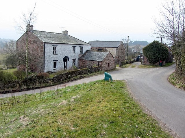
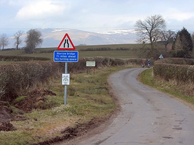
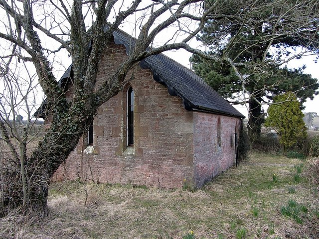
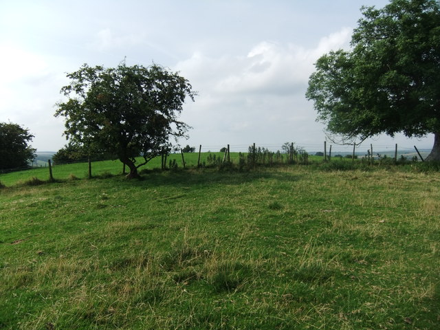
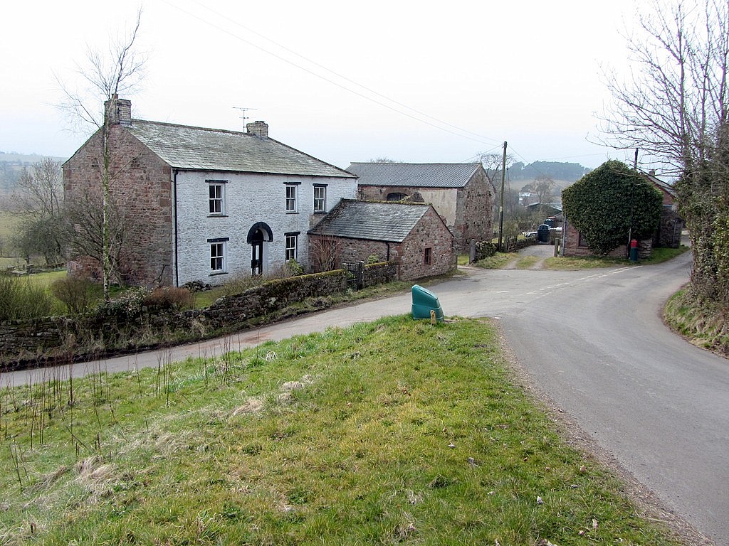
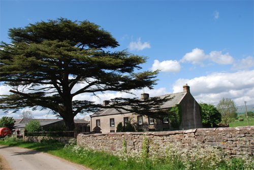
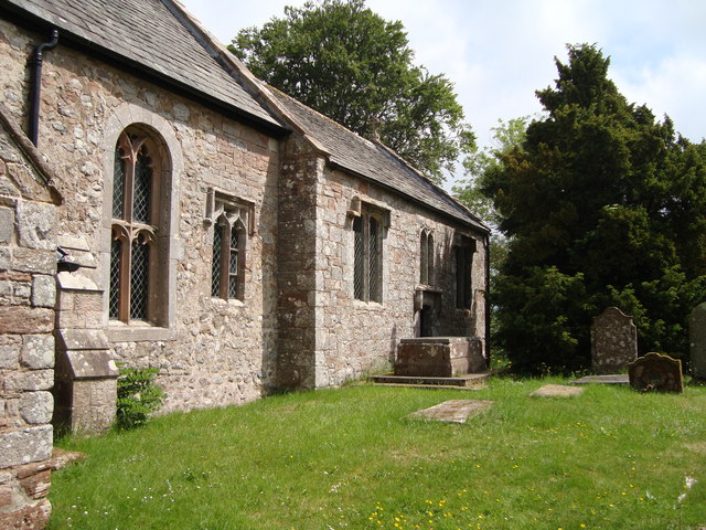
Hut Wood Images

Images are sourced within 2km of 54.5291/-2.4300688 or Grid Reference NY7214. Thanks to Geograph Open Source API. All images are credited.

Helm Beck Bridge
Helm Beck Bridge
Helm Beck south of Helm Road
White butterbur (Petasites albus), hedgerow, Mask Road The location is shown here <a href="https://www.geograph.org.uk/photo/3409389">NY7114 : Mask Road</a>

White butterbur is a native of the mountains of Europe and S.W. Asia. It was introduced to Britain as a garden ornamental in 1683, and naturalised in West Yorkshire by at least 1843. Plants are dioecious, consisting of separate male and female plants which are not self-fertile. In Britain, plants flower as early as February and are visited by various insects. If pollinated, female plants bear dandelion-like cylindrical seeds with a tuft of long white hairs. As the vast majority of naturalised populations consist entirely of male plants the extent of sexual reproduction is unclear and spread occurs largely by dispersal of the rhizomes.
<span class="nowrap"><a title="http://www.brc.ac.uk/plantatlas/index.php?q=plant/petasites-albus" rel="nofollow ugc noopener" href="http://www.brc.ac.uk/plantatlas/index.php?q=plant/petasites-albus">Link</a><img style="margin-left:2px;" alt="External link" title="External link - shift click to open in new window" src="https://s1.geograph.org.uk/img/external.png" width="10" height="10"/></span>
White butterbur (Petasites albus), hedgerow, Mask Road
The location is shown here NY7114 : Mask Road White butterbur is a native of the mountains of Europe and S.W. Asia. It was introduced to Britain as a garden ornamental in 1683, and naturalised in West Yorkshire by at least 1843. Plants are dioecious, consisting of separate male and female plants which are not self-fertile. In Britain, plants flower as early as February and are visited by various insects. If pollinated, female plants bear dandelion-like cylindrical seeds with a tuft of long white hairs. As the vast majority of naturalised populations consist entirely of male plants the extent of sexual reproduction is unclear and spread occurs largely by dispersal of the rhizomes. LinkExternal link
Bleatarn
Bleatarn
Minor road at Bleatarn
Tiny church at Bleatarn Also referred to as Bleatarn Chapel of Ease <span class="nowrap"><a title="http://en.wikipedia.org/wiki/Chapel_of_ease" rel="nofollow ugc noopener" href="http://en.wikipedia.org/wiki/Chapel_of_ease">Link</a><img style="margin-left:2px;" alt="External link" title="External link - shift click to open in new window" src="https://s1.geograph.org.uk/img/external.png" width="10" height="10"/></span>
Tiny church at Bleatarn
Also referred to as Bleatarn Chapel of Ease LinkExternal link
Path on Trickle Banks
Sourlands Hill
Sourlands Hill
Farmland, Helm
Farmland, Helm
Valley of Helm Beck Seen from the open window of a southbound train on the Settle Carlisle line.
Valley of Helm Beck
Seen from the open window of a southbound train on the Settle Carlisle line.
Bridleway running east from Helm Beck Seen from the open window of a southbound train on the Settle Carlisle line.
Bridleway running east from Helm Beck
Seen from the open window of a southbound train on the Settle Carlisle line.
Bridge over Helm Beck At the 169 metre spot height. Seen from the open window of a southbound train on the Settle Carlisle line.
Bridge over Helm Beck
At the 169 metre spot height. Seen from the open window of a southbound train on the Settle Carlisle line.
Wooded course of a beck, north-west of Crow Hill Seen from the open window of a southbound train on the Settle Carlisle line.
Wooded course of a beck, north-west of Crow Hill
Seen from the open window of a southbound train on the Settle Carlisle line.
Tractor in the valley of the sheep, north of Crow Hill Seen from the open window of a southbound train on the Settle Carlisle line.
Tractor in the valley of the sheep, north of Crow Hill
Seen from the open window of a southbound train on the Settle Carlisle line.
Helm Tunnel, Eden Valley, Carlisle to Settle Railway, Cumbria South entrance of the 571 yard tunnel along the line between Crosby Garrett and Great Ormside.
<span class="nowrap"><a title="www.visitcumbria.com/carlset/index.htm" rel="nofollow ugc noopener" href="http://www.visitcumbria.com/carlset/index.htm">Link</a><img style="margin-left:2px;" alt="External link" title="External link - shift click to open in new window" src="https://s1.geograph.org.uk/img/external.png" width="10" height="10"/></span>
Helm Tunnel, Eden Valley, Carlisle to Settle Railway, Cumbria
South entrance of the 571 yard tunnel along the line between Crosby Garrett and Great Ormside. LinkExternal link
Sandford Methodist Chapel
Settle to Carlisle Railway Looking S towards Settle
Settle to Carlisle Railway
Looking S towards Settle
Show me another place!

Hut Wood is located at Grid Ref: NY7214 (Lat: 54.5291, Lng: -2.4300688)

Administrative County: Cumbria

District: Eden

Police Authority: Cumbria

What 3 Words

///fancied.juicy.rainwater. Near Appleby-in-Westmorland, Cumbria

Nearby Locations

Hut Wood

Related Wikis

Warcop

Warcop is a village and civil parish in the Eden district of Cumbria, England. The parish had a population of 491 in the 2001 census, increasing to 532...

Sandford, Cumbria

Sandford is a small village in the Eden district, in the county of Cumbria, England. It is near the A66 road. It has one pub. == Location grid == ��2...

Bleatarn

Bleatarn is a hamlet in Cumbria, England. It is located 3.3 miles (5.3 km) by road to the northwest of Soulby. == See also == List of places in Cumbria...

Little Ormside

Little Ormside is a hamlet in the parish of Ormside, in the Eden District, in the English county of Cumbria. == Location == It is a few miles away from...

Settle–Carlisle line

The Settle–Carlisle line (also known as the Settle and Carlisle (S&C)) is a 73-mile-long (117 km) main railway line in northern England. The route, which...

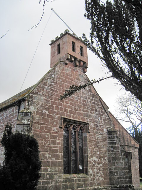
St Columba's Church, Warcop

St Columba's Church is in the village of Warcop, Cumbria, England. It is an active Anglican parish church in the deanery of Appleby, the archdeaconry...

Warcop railway station

Warcop railway station was situated on the Eden Valley Railway between Penrith and Kirkby Stephen East. It served the village of Warcop. The station opened...

Ormside

Ormside is a civil parish in the Eden District of Cumbria, England, which includes the village of Great Ormside and the hamlet of Little Ormside. It had...

Nearby Amenities

Located within 500m of 54.5291,-2.4300688
Birks
Place: farm
Lat/Long: 54.5322424/-2.4280892
Power: pole
Lat/Long: 54.5255485/-2.4263381
Power: pole
Lat/Long: 54.5274408/-2.4269767
Power: pole
Lat/Long: 54.5287477/-2.4274137
Power: pole
Lat/Long: 54.5297999/-2.4277795
Power: pole
Lat/Long: 54.5308613/-2.4281434
Power: pole
Lat/Long: 54.5317218/-2.42844
The data included in this document is from www.openstreetmap.org. The data is made available under ODbL.

Have you been to Hut Wood?

Leave your review of Hut Wood below (or comments, questions and feedback).