Aldermore

Wood, Forest in Dorset

England

Aldermore

Cross dyke on Higher Hill Cross dykes apparently formed prehistoric land boundaries. There are quite a few on this ridgeway in this beautiful part of Dorset.
Cross dyke on Higher Hill Credit: Becky Williamson

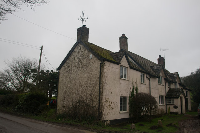
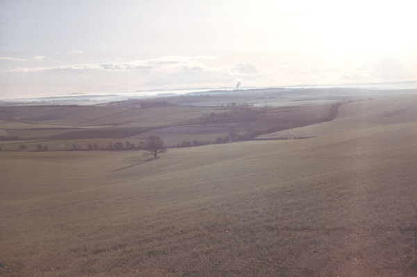
Aldermore is a small village located in the picturesque county of Dorset, England. Situated amidst a dense woodland, it is known for its serene and natural beauty. The village is tucked away in the heart of a vast forest, providing a tranquil and secluded environment for its residents and visitors.

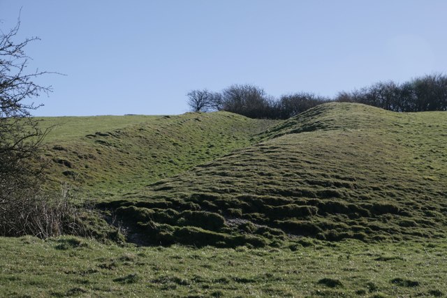
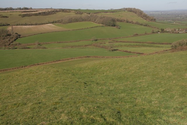
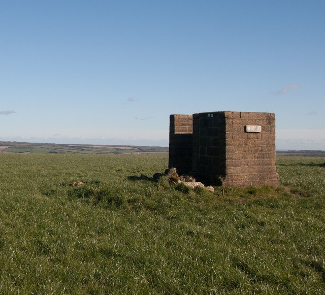
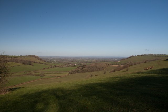
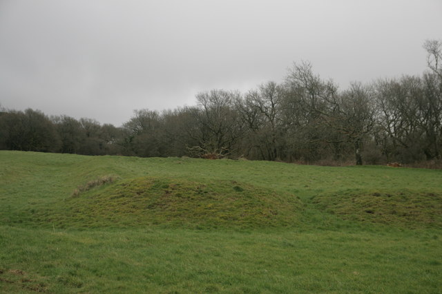
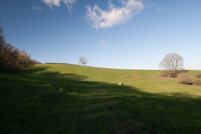
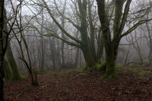
The forest in Aldermore is characterized by its tall and majestic trees, creating a dense canopy that filters the sunlight and casts a dappled shade on the forest floor. This creates a perfect habitat for a diverse range of flora and fauna. Visitors to Aldermore can expect to encounter a variety of wildlife, including deer, foxes, owls, and a multitude of bird species.

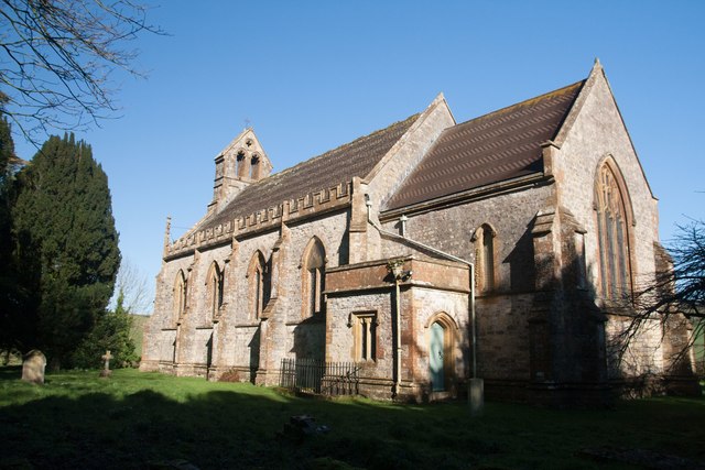
The village itself is small and charming, with a few scattered cottages and a historic church at its center. The community in Aldermore is tight-knit and welcoming, with a strong sense of camaraderie among its residents. The village is known for its annual summer fair, where locals and tourists come together to celebrate with traditional games, music, and local food.

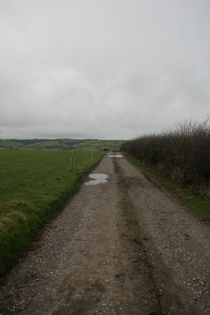
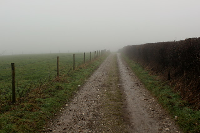
For outdoor enthusiasts, Aldermore is a paradise. The forest surrounding the village offers numerous walking trails and cycling paths, allowing visitors to explore the natural beauty of the area. Additionally, the village is located near several nature reserves and protected areas, providing ample opportunities for wildlife spotting and nature photography.

Overall, Aldermore in Dorset is a hidden gem for those seeking a peaceful escape in the midst of nature. With its dense forest, charming village, and friendly community, it offers a unique and unforgettable experience for all who visit.

If you have any feedback on the listing, please let us know in the comments section below.

Aldermore Images

Images are sourced within 2km of 50.835958/-2.395156 or Grid Reference ST7204. Thanks to Geograph Open Source API. All images are credited.

Cross dyke on Higher Hill Cross dykes apparently formed prehistoric land boundaries. There are quite a few on this ridgeway in this beautiful part of Dorset.
Cross dyke on Higher Hill
Cross dykes apparently formed prehistoric land boundaries. There are quite a few on this ridgeway in this beautiful part of Dorset.
Benchmark, St John the Baptist Church, Plush Ordnance Survey benchmark, described on database at <span class="nowrap"><a title="http://www.bench-marks.org.uk/bm73594" rel="nofollow ugc noopener" href="http://www.bench-marks.org.uk/bm73594">Link</a><img style="margin-left:2px;" alt="External link" title="External link - shift click to open in new window" src="https://s1.geograph.org.uk/img/external.png" width="10" height="10"/></span>. See also <a href="https://www.geograph.org.uk/photo/4833952">ST7102 : St John the Baptist Church, Plush</a>.
Benchmark, St John the Baptist Church, Plush
Ordnance Survey benchmark, described on database at LinkExternal link. See also ST7102 : St John the Baptist Church, Plush.
St John the Baptist Church, Plush I'm not sure if this building is still used as a place of worship, but it can also be used as a concert hall and venue for weddings etc.
St John the Baptist Church, Plush
I'm not sure if this building is still used as a place of worship, but it can also be used as a concert hall and venue for weddings etc.
Cross dyke on Higher Hill Another prehistoric land boundary on this beautiful ridge.
Cross dyke on Higher Hill
Another prehistoric land boundary on this beautiful ridge.
Funny building at footpath crossroads on Nettlecombe Tout This building appears to have no other purpose than being a place to put footpath signs, but maybe I'm missing something.
Funny building at footpath crossroads on Nettlecombe Tout
This building appears to have no other purpose than being a place to put footpath signs, but maybe I'm missing something.
Church Hill - Wessex Ridgeway Looking west along bridleway towards Alton Pancras.
Church Hill - Wessex Ridgeway
Looking west along bridleway towards Alton Pancras.
View north from Higher Hill Nettlecombe Tout visible on the left of the photo.
View north from Higher Hill
Nettlecombe Tout visible on the left of the photo.
Celtic Enclosure on the edge of Watcombe Wood
Erstwhile Fox Inn, Folly Now a private residence, one of the only ones in the hamlet of Folly and situated between Plush and Mappowder.
Erstwhile Fox Inn, Folly
Now a private residence, one of the only ones in the hamlet of Folly and situated between Plush and Mappowder.
Eastern flanks of Nettlecombe Tout
Springwood Farm
Springwood Farm
Wessex Ridgeway on the Western Flanks of Church Hill A misty scene on the chalk ridge of Church Hill
Wessex Ridgeway on the Western Flanks of Church Hill
A misty scene on the chalk ridge of Church Hill
Wessex Ridgeway on the gradual ascent of Ball Hill Emerging out of Watcombe Wood on a gloomy February day. A silhouette of a gate, fence and fellow geographer can be seen ahead.
Wessex Ridgeway on the gradual ascent of Ball Hill
Emerging out of Watcombe Wood on a gloomy February day. A silhouette of a gate, fence and fellow geographer can be seen ahead.
Wessex Ridgeway entering Watcombe Wood A muddy track leads into the woods on Church Hill
Wessex Ridgeway entering Watcombe Wood
A muddy track leads into the woods on Church Hill
Wessex Ridgeway on the Edges of Watcombe Wood
Watcombe Wood Skeletal trees, surrounded by swirling banks of mist.
Watcombe Wood
Skeletal trees, surrounded by swirling banks of mist.
Wessex Ridgeway descending into Kithill Plantation On the descent down the eastern flanks of Ball Hill, showing some exposure of chalk as the plantation is entered.
Wessex Ridgeway descending into Kithill Plantation
On the descent down the eastern flanks of Ball Hill, showing some exposure of chalk as the plantation is entered.
Wessex Ridgeway heading towards Folly
Show me another place!

Aldermore is located at Grid Ref: ST7204 (Lat: 50.835958, Lng: -2.395156)

Unitary Authority: Dorset

Police Authority: Dorset

What 3 Words

///outlines.overlaid.secondly. Near Puddletown, Dorset

Nearby Locations

Aldermore

Related Wikis

Ball Hill, Dorset

At 251 metres, Ball Hill is one of the highest hills in the county of Dorset, England, and is on the Wessex Ridgeway. == Location == The summit of Ball...

Lyscombe Hill

Lyscombe Hill (262 metres, 860 feet high) is a hill near Melcombe Bingham about 14 kilometres north-northeast of Dorchester in the county of Dorset, England...

Bookham Knoll

Bookham Knoll is a rounded hill, 211 metres (692 ft) high, about 1 kilometre southeast of the village of Buckland Newton in the county of Dorset in southern...

Plush, Dorset

Plush is a small village in the English county of Dorset. It lies within the civil parish of Piddletrenthide in the west of the county, and is approximately...

Mappowder

Mappowder is a village and civil parish in the county of Dorset in southern England. The parish lies approximately 9 miles (14 kilometres) southeast of...

Alton Pancras

Alton Pancras is a small village and civil parish in Dorset, England. In the 2011 census the civil parish had a population of 175. The village church is...

Dorset Downs

The Dorset Downs are an area of chalk downland in the centre of the county Dorset in south west England. The downs are the most western part of a larger...

Buckland Newton Hundred

Buckland Newton Hundred was a hundred in the county of Dorset, England, containing the following parishes: Buckland Newton Glanvilles Wootton Mappowder...

Related Videos

WALKS IN DORSET at LYSCOMBE BOTTOM (AND EXPLORING THE DESERTED VILLAGE AT LYSCOMBE) (4K)

In this episode of my series “ Walks in Dorset” I explore around the valley at Lyscombe Bottom – located about 9 miles North of ...

Have you been to Aldermore?

Leave your review of Aldermore below (or comments, questions and feedback).