Kirkburton

Civil Parish in Yorkshire Kirklees

England

Kirkburton

Old milestone On a bend on the south side of the A635 between Holmfirth and New Mills is this 19C West Riding CC milestone.   This area is called Wooldale and that name is on the top section.  Left face - HOLMFIRTH/1 MILE, right face - DENBY/DALE/5¾ MILES/CAWTHORNE/9 MILES/BARNSLEY/13 MILES.   The foundry name, BRAYSHAW & BOOTH/LIVERSEDGE is on the bevel.   Grade II listed 1313589.  It is in need of a clean and possible repaint.
Old milestone Credit: Chris Minto

Kirkburton is a civil parish located in the district of Kirklees, in the county of West Yorkshire, England. It is situated approximately 6 miles southeast of Huddersfield and covers an area of around 17 square miles. The parish is part of the larger village of Kirkburton, which also includes the smaller settlements of Shelley, Thunder Bridge, and Kirkheaton.

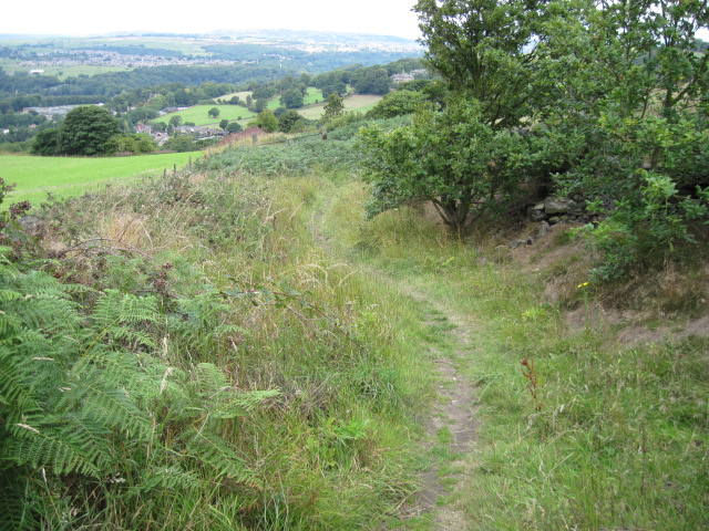
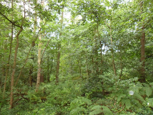
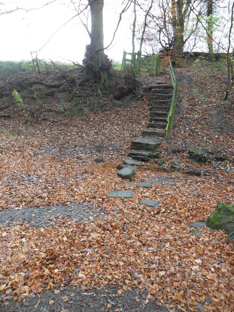
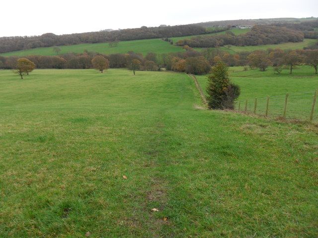
The area has a long history, with evidence of human settlement dating back to the Bronze Age. Kirkburton itself was mentioned in the Domesday Book of 1086 and has remained a vibrant community ever since. The parish is known for its picturesque countryside, with rolling hills and valleys, making it an attractive location for outdoor enthusiasts.

The village of Kirkburton is the main hub of the parish, offering a range of amenities including shops, pubs, and restaurants. It also boasts a number of historic buildings, such as the All Hallows Church, which dates back to the 12th century. The church is a prominent landmark in the area and is known for its impressive architecture.

In terms of education, Kirkburton has several primary schools and a secondary school, providing education for children of all ages. The parish also benefits from good transportation links, with nearby motorways providing easy access to surrounding towns and cities.

Overall, Kirkburton is a charming and well-connected civil parish with a rich history and beautiful natural surroundings, making it an appealing place to live or visit.

If you have any feedback on the listing, please let us know in the comments section below.
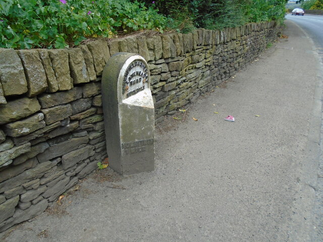
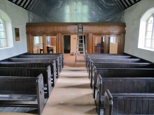
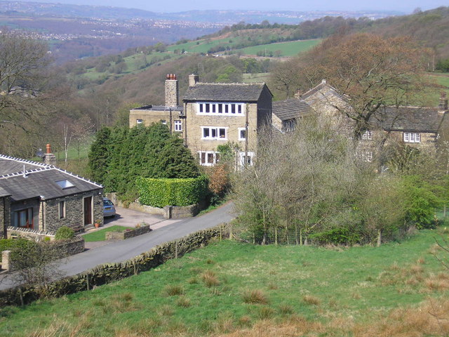
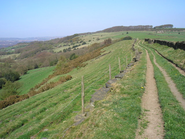
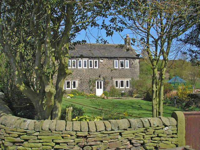
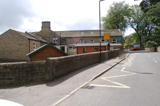
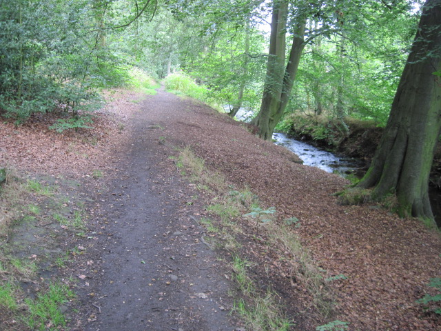
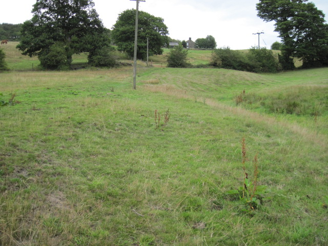
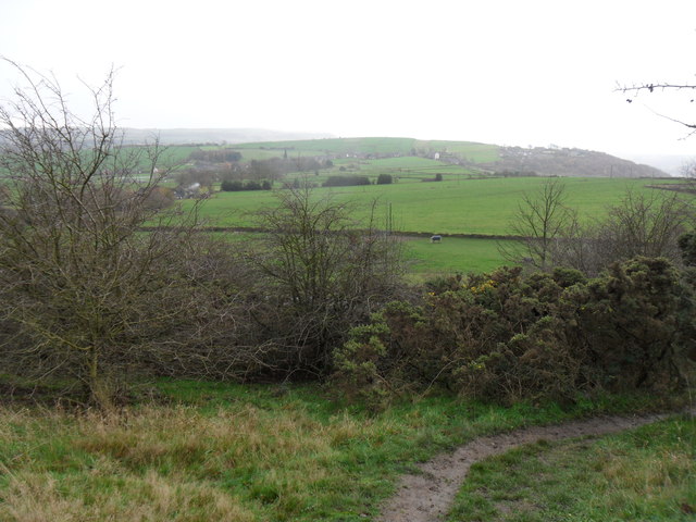
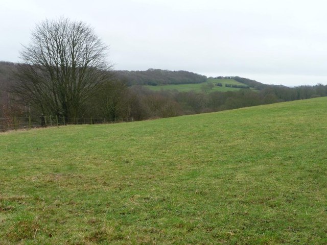
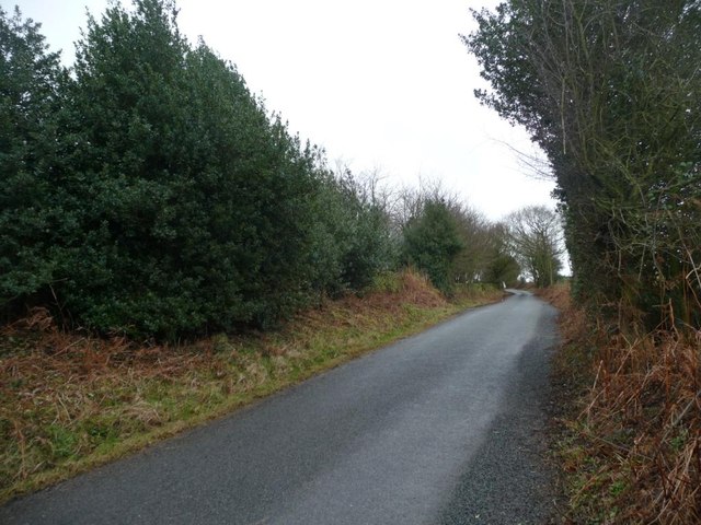
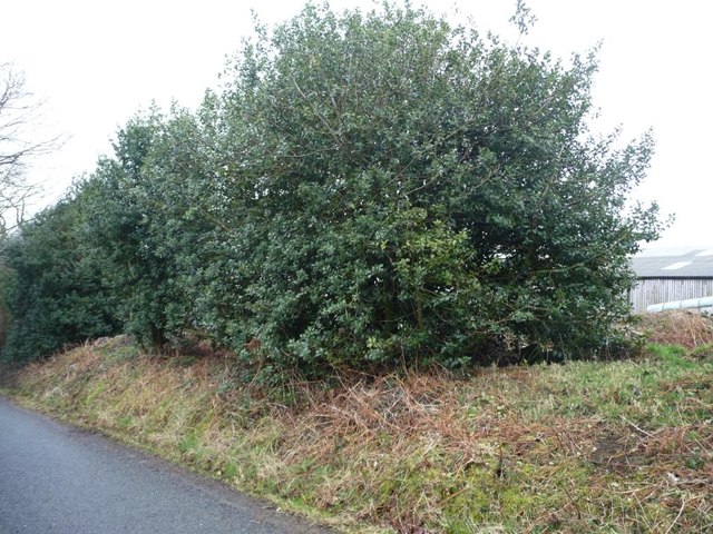
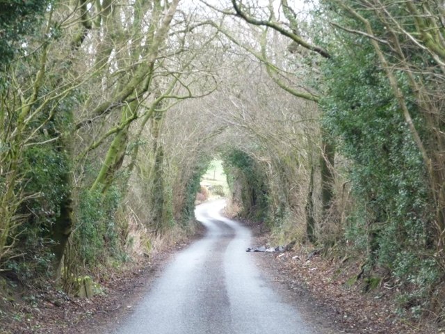
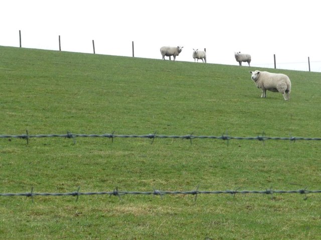
Kirkburton Images

Images are sourced within 2km of 53.590543/-1.754755 or Grid Reference SE1610. Thanks to Geograph Open Source API. All images are credited.

Old milestone On a bend on the south side of the A635 between Holmfirth and New Mills is this 19C West Riding CC milestone.   This area is called Wooldale and that name is on the top section.  Left face - HOLMFIRTH/1 MILE, right face - DENBY/DALE/5¾ MILES/CAWTHORNE/9 MILES/BARNSLEY/13 MILES.   The foundry name, BRAYSHAW & BOOTH/LIVERSEDGE is on the bevel.   Grade II listed 1313589.  It is in need of a clean and possible repaint.
Old milestone
On a bend on the south side of the A635 between Holmfirth and New Mills is this 19C West Riding CC milestone. This area is called Wooldale and that name is on the top section. Left face - HOLMFIRTH/1 MILE, right face - DENBY/DALE/5¾ MILES/CAWTHORNE/9 MILES/BARNSLEY/13 MILES. The foundry name, BRAYSHAW & BOOTH/LIVERSEDGE is on the bevel. Grade II listed 1313589. It is in need of a clean and possible repaint.
Interior of St Andrew's church, Thongsbridge For the outside of the church, see <a href="https://www.geograph.org.uk/photo/751457">SE1409 : St Andrew's Church, Thongsbridge, Wooldale</a>. This is the inside, looking liturgical west (geographically south-west). 

The church was built in 1877 as a chapel of ease. A school was added in 1891. There was a burial ground opened in 1938 but it was never used for burials and was sold in 1988. 

Note: the building was closed for worship in 2013 and sold to a private owner in 2020 (after this photo was taken) with planning permission for residential conversion, so is no longer publicly accessible. This view shows it as it had been as a place of worship.
Interior of St Andrew's church, Thongsbridge
For the outside of the church, see SE1409 : St Andrew's Church, Thongsbridge, Wooldale. This is the inside, looking liturgical west (geographically south-west). The church was built in 1877 as a chapel of ease. A school was added in 1891. There was a burial ground opened in 1938 but it was never used for burials and was sold in 1988. Note: the building was closed for worship in 2013 and sold to a private owner in 2020 (after this photo was taken) with planning permission for residential conversion, so is no longer publicly accessible. This view shows it as it had been as a place of worship.
Top of the Hill A weavers' hamlet below Thurstonland.
Top of the Hill
A weavers' hamlet below Thurstonland.
Lane near Thurstonland An old lane along the edge of a steep drop.
Lane near Thurstonland
An old lane along the edge of a steep drop.
Height Green A farmhouse between Thurstonland and Farnley Tyas.
Height Green
A farmhouse between Thurstonland and Farnley Tyas.
Thurstonland Primary School
Footpath beside River Holme
Footpath From Hall Ing Lane
Footpath on Ludhill Lane
Clough Wood Clough Wood near Stocksmoor.  Taken looking west from public footpath on a wet July day 2011.
Clough Wood
Clough Wood near Stocksmoor. Taken looking west from public footpath on a wet July day 2011.
Stone Wood Dike, near Shepley Stepping stones over Stone Wood Dike.
Stone Wood Dike, near Shepley
Stepping stones over Stone Wood Dike.
Field path, near Thurstonland Looking down field-edge path back towards Shepley.  Mathewman Wood is in the distance.
Field path, near Thurstonland
Looking down field-edge path back towards Shepley. Mathewman Wood is in the distance.
Farnley Moor footpath Looking south from the edge of Farnley Moor.  Thurstonland is in the distance.
Farnley Moor footpath
Looking south from the edge of Farnley Moor. Thurstonland is in the distance.
Stone Wood The steep wooded valley of Stone Wood Dike, seen from Shepley Lane.
Stone Wood
The steep wooded valley of Stone Wood Dike, seen from Shepley Lane.
Halstead Lane, near Lower Halstead Farm By accident, a record of the 242 metre spot height.
Halstead Lane, near Lower Halstead Farm
By accident, a record of the 242 metre spot height.
Holly boundary to Lower Halstead Farm Large holly bushes hedge both sides of Halstead Lane here.
Holly boundary to Lower Halstead Farm
Large holly bushes hedge both sides of Halstead Lane here.
Green tunnel, Halstead Lane Near the entrance to Lower Halstead Farm.
Green tunnel, Halstead Lane
Near the entrance to Lower Halstead Farm.
Sheep grazing near Lower Halstead Farm The brbed wire runs alongside Halstead Lane.
Sheep grazing near Lower Halstead Farm
The brbed wire runs alongside Halstead Lane.
Show me another place!

Kirkburton is located at Grid Ref: SE1610 (Lat: 53.590543, Lng: -1.754755)

Division: West Riding

Administrative County: West Yorkshire

District: Kirklees

Police Authority: West Yorkshire

What 3 Words

///clean.into.detail. Near Shepley, West Yorkshire

Related Wikis

Thurstonland

Thurstonland is a village in the civil parish of Kirkburton, in Kirklees, West Yorkshire, England. It has a population of almost 400. The village is on...

Church of St Thomas, Thurstonland

The Church of St Thomas, Thurstonland, West Yorkshire, England, is an Anglican church. It is an Arts and Crafts building in Gothic Revival style, designed...

Thurstonland and Farnley Tyas Urban District

Thurstonland and Farnley Tyas was an urban district in the West Riding of Yorkshire from 1925 to 1938. It was created in 1925 by the merger of the Thurstonland...

Brockholes railway station

Brockholes railway station serves the village of Brockholes, near Huddersfield in West Yorkshire. It lies 4.25 miles (7 km) away from Huddersfield on the...

Related Videos

Farnley Tyas - Castle Hill

todays walk to be honest was just a get out and find somewhere to walk, not even a long walk as there was one of the storms ...

Any that crawls after walking😀 so happy

Baby crawling So very happy with himself Takes lots of effort.

BROCKHOLES DAY OUT

Hello Jamie here and with another video. So this is my Day Out in Brockholes, going to be honest, it's such a small area, that I ...

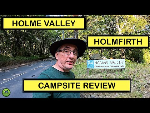
Holme Valley Camping and Caravan Park | Holmfirth | Campsite Review | In Our Roller Team Motorhome

Holme Valley Camping and Caravan Park. Holmfirth. Campsite Review. In Our Roller Team Motorhome. In this video we review ...

Nearby Amenities

Located within 500m of 53.590543,-1.754755
Thurstonland
Is In: West Yorkshire, England, UK
Place: village
Wikidata: Q7799471
Wikipedia: en:Thurstonland
Lat/Long: 53.5899953/-1.7509898
Barrier: stile
Stile: stepover
Lat/Long: 53.5943757/-1.7543797
Pub
Rose and Crown
Lat/Long: 53.5902089/-1.752116
Bus Stop
Marsh Hall Lane Moor Top Avenue
Local Ref: 45018745
Naptan AtcoCode: 450018745
Naptan Bearing: S
Naptan CommonName: Marsh Hall Lane Moor Top Avenue
Naptan Crossing: Nr-At Moor Top Avenue
Naptan Indicator: Stop 45018745
Naptan Landmark: Church
Naptan PlusbusZoneRef: LEEDS
Naptan ShortCommonName: Thurstonland Tunnel
Naptan Street: Marsh Hall Lane
Naptan Verified: no
Source: naptan_import
Lat/Long: 53.5938441/-1.7497204
Bus Stop
Thurstonland Town Moor
Local Ref: 45018746
Naptan AtcoCode: 450018746
Naptan Bearing: SE
Naptan CommonName: Thurstonland Town Moor
Naptan Crossing: Town Moor (Stocksmoor Lane)
Naptan Indicator: Stop 45018746
Naptan PlusbusZoneRef: LEEDS
Naptan ShortCommonName: Stocksmoor Lane
Naptan Street: Marsh Hall Lane
Naptan Verified: no
Source: naptan_import
Lat/Long: 53.5915694/-1.7494316
Bus Stop
Marsh Hall Lane Stocksmoor Lane
Local Ref: 45018747
Naptan AtcoCode: 450018747
Naptan Bearing: NW
Naptan CommonName: Marsh Hall Lane Stocksmoor Lane
Naptan Crossing: The Village (Stocksmoor Lane)
Naptan Indicator: Stop 45018747
Naptan Notes: New TF shelter installed on 10/12/07. Awaiting survey.
Naptan PlusbusZoneRef: LEEDS
Naptan ShortCommonName: Stocksmoor Lane
Naptan Street: Marsh Hall Lane
Naptan Verified: no
Source: naptan_import
Lat/Long: 53.5915068/-1.749568
The Village
Local Ref: 45024564
Naptan AtcoCode: 450024564
Naptan Bearing: W
Naptan BusStopType: CUS
Naptan CommonName: The Village
Naptan Crossing: Haw Cliff Lane
Naptan Indicator: Stop 45024564
Naptan Landmark: Manor House Farm
Naptan PlusbusZoneRef: LEEDS
Naptan ShortCommonName: Haw Cliff Lane
Naptan Street: The Village
Naptan Verified: no
Source: naptan_import
Lat/Long: 53.5900106/-1.7519487
Thurstnlnd Bnk Road
Local Ref: 45024565
Naptan AtcoCode: 450024565
Naptan Bearing: NE
Naptan BusStopType: CUS
Naptan CommonName: Thurstnlnd Bnk Road
Naptan Crossing: Occupation Lane
Naptan Indicator: Stop 45024565
Naptan PlusbusZoneRef: LEEDS
Naptan ShortCommonName: Occupation Lane
Naptan Street: Thurstonland Bank Road
Naptan Verified: no
Source: naptan_import
Lat/Long: 53.588619/-1.7615801
Marsh Hall Lane Church
Local Ref: 45050681
Naptan AtcoCode: 450050681
Naptan Bearing: N
Naptan BusStopType: CUS
Naptan CommonName: Marsh Hall Lane Church
Naptan Indicator: Stop 45050681
Naptan PlusbusZoneRef: LEEDS
Naptan ShortCommonName: Thurstonland School
Naptan Street: Marsh Hall Lane
Naptan Verified: no
Source: naptan_import
Lat/Long: 53.5938535/-1.7499167
Location Transition: yes
Power: pole
Lat/Long: 53.5894636/-1.760361
Power: pole
Lat/Long: 53.59004/-1.7605254
Power: pole
Lat/Long: 53.5906254/-1.7606928
Power: pole
Lat/Long: 53.5914474/-1.7599592
Power: pole
Lat/Long: 53.592152/-1.7593383
Power: pole
Lat/Long: 53.5929379/-1.7593261
Power: pole
Lat/Long: 53.593722/-1.7593169
Top of the Hill
Place: hamlet
Lat/Long: 53.5907049/-1.7560241
Barrier: kissing_gate
Lat/Long: 53.5920819/-1.761204
Generator Method: photovoltaic
Generator Output Electricity: yes
Generator Source: solar
Generator Type: solar_photovoltaic_panel
Location: roof
Power: generator
Lat/Long: 53.5924222/-1.7496596
Turning Circle
The Green
Lat/Long: 53.5911231/-1.7495851
Top of the Bank
Place: hamlet
Lat/Long: 53.58813/-1.7565336
Barrier: stile
Step Count: 1
Stile: stepover
Lat/Long: 53.5866342/-1.7539324
Bench
Backrest: yes
Lat/Long: 53.5876853/-1.7602728
Bench
Backrest: yes
Lat/Long: 53.5874891/-1.7566861
Bench
Backrest: yes
Lat/Long: 53.5878767/-1.7577323
Bench
Backrest: yes
Lat/Long: 53.5886936/-1.7612222
Barrier: stile
Step Count: 2
Stile: stepover
Lat/Long: 53.5864895/-1.753369
Generator Method: wind_turbine
Generator Source: wind
Power: generator
Lat/Long: 53.5864969/-1.7520714
Bench
Backrest: yes
Lat/Long: 53.5868272/-1.7546493
Defibrillator
Access: yes
Defibrillator Location: On outside wall.
Emergency: defibrillator
Indoor: no
Opening Hours: 24/7
Ref GB The Circuit: E94ADFE3-70D5-4AC8-8B4C-AD440137CD33
Lat/Long: 53.5910526/-1.7503713
Bench
Backrest: yes
Lat/Long: 53.5926721/-1.7500796
Bench
Backrest: yes
Lat/Long: 53.5908853/-1.7498951
Barrier: stile
Stile: squeezer
Lat/Long: 53.5921993/-1.7618015
Barrier: stile
Step Count: 1
Stile: stepover
Lat/Long: 53.5913945/-1.7587983
Barrier: kissing_gate
Lat/Long: 53.5917034/-1.7607154
Ford: yes
Lat/Long: 53.5936311/-1.7588314
The data included in this document is from www.openstreetmap.org. The data is made available under ODbL.

Have you been to Kirkburton?

Leave your review of Kirkburton below (or comments, questions and feedback).