Kirkburn

Civil Parish in Yorkshire

England

Kirkburn

Looking west on the A614
Looking west on the A614 Credit: David Brown

Kirkburn is a civil parish located in the East Riding of Yorkshire, England. It is situated approximately 5 miles east of the market town of Driffield. The parish covers an area of about 2.5 square miles and has a population of around 200 residents.

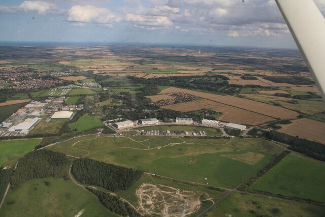
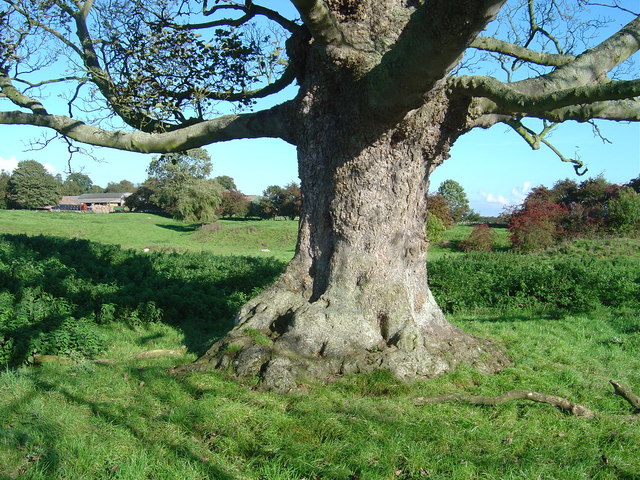
The village of Kirkburn is known for its picturesque countryside and charming rural character. It is surrounded by rolling hills, fields, and woodland, making it a popular destination for nature lovers and outdoor enthusiasts. The local landscape is dotted with farms and agricultural land, reflecting the area's strong agricultural heritage.

The village itself is small and compact, with a quaint and peaceful atmosphere. It is centered around St. Mary's Church, a beautiful medieval church that dates back to the 12th century. The church is a prominent landmark and serves as a focal point for community activities and events.

Kirkburn has limited amenities, with a few small businesses and services serving the local community. There is a village hall that hosts various social gatherings and events, bringing residents together. The village also has a primary school, providing education for the local children.

Overall, Kirkburn offers a tranquil and close-knit community for its residents, where they can enjoy the beauty of the surrounding countryside while being connected to nearby towns and amenities.

If you have any feedback on the listing, please let us know in the comments section below.
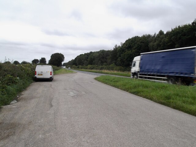
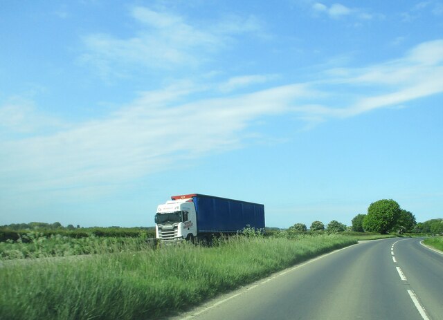
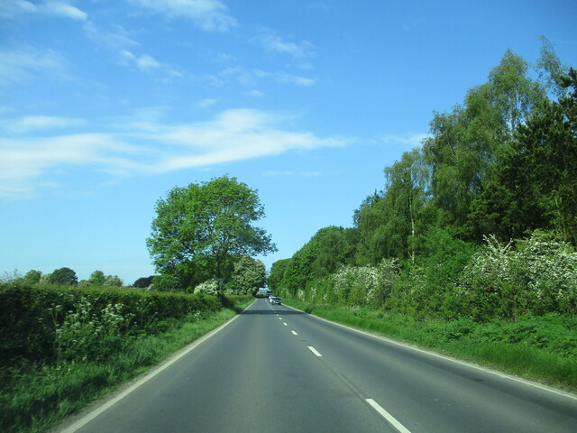
Kirkburn Images

Images are sourced within 2km of 53.989401/-0.493144 or Grid Reference SE9855. Thanks to Geograph Open Source API. All images are credited.

Looking west on the A614
Minor road to Garton-on-the-Wolds
A large field recently harvested
A pill box in a field
Site of Driffield West Trig Point - Now missing
St Mary’s Church, Kirkburn Kirkburn is small village, a few miles to the southwest of Driffield. Like Garton-on-the-Wolds, it has a “Sykes Church” restored by Sir Tatton Sykes in the mid-19th century. St Mary’s is another Norman church with a Nave probably dating from 1130-40. 
Lots of awful ‘restoration’ works were carried out in the early 19th century but luckily Sir Tatton Sykes then took an interest and much more appropriate works were then carried out, restoring the chancel to its Norman appearance.
St Mary’s Church, Kirkburn
Kirkburn is small village, a few miles to the southwest of Driffield. Like Garton-on-the-Wolds, it has a “Sykes Church” restored by Sir Tatton Sykes in the mid-19th century. St Mary’s is another Norman church with a Nave probably dating from 1130-40. Lots of awful ‘restoration’ works were carried out in the early 19th century but luckily Sir Tatton Sykes then took an interest and much more appropriate works were then carried out, restoring the chancel to its Norman appearance.
Lorry  in  layby  on  A614  toward  Eastburn
Lorry in layby on A614 toward Eastburn
A614  toward  Eastburn.  MOD  land  to  the  right To the right behind trees the former RAF Driffield now county HQ for army cadet force
A614 toward Eastburn. MOD land to the right
To the right behind trees the former RAF Driffield now county HQ for army cadet force
A614  approaching  Eastburn On the left behind trees is the large farm and the site of the Medieval Village of Eastburn
A614 approaching Eastburn
On the left behind trees is the large farm and the site of the Medieval Village of Eastburn
Former RAF Driffield: aerial 2023
Site of Eastburn DMV: aerial 2023 (1) See also <a href="https://www.geograph.org.uk/photo/7590317">SE9955 : Kirkburn to Eastburn: aerial 2023</a>.
Site of Eastburn DMV: aerial 2023 (1)
Site of Eastburn DMV: aerial 2023 (2) See also <a href="https://www.geograph.org.uk/photo/7590317">SE9955 : Kirkburn to Eastburn: aerial 2023</a>.
Site of Eastburn DMV: aerial 2023 (2)
Kirkburn to Eastburn: aerial 2023 See also <a href="https://www.geograph.org.uk/photo/7590307">SE9955 : Site of Eastburn DMV: aerial 2023 (1)</a>.
Kirkburn to Eastburn: aerial 2023
Kirkburn, St Mary
Kirkburn, St Mary
Bridge over Eastburn Beck, Kirkburn
The churchyard, Kirkburn The long grass between the gravestones is part of a conservation scheme. Most of the grass will be cut before the spring but then not again until the following autumn.
The churchyard, Kirkburn
The long grass between the gravestones is part of a conservation scheme. Most of the grass will be cut before the spring but then not again until the following autumn.
The Village Hall, Kirkburn
Footpath at Kirkburn Links Main Street to houses beyond the by-pass.
Footpath at Kirkburn
Links Main Street to houses beyond the by-pass.
Show me another place!

Kirkburn is located at Grid Ref: SE9855 (Lat: 53.989401, Lng: -0.493144)

Division: East Riding

Unitary Authority: East Riding of Yorkshire

Police Authority: Humberside

What 3 Words

///clincher.dates.outlines. Near Driffield, East Yorkshire

Nearby Locations

Kirkburn Kirkburn

Related Wikis

Eastburn, East Riding of Yorkshire

Eastburn is a hamlet and former civil parish, now in the parish of Kirkburn, in the East Riding of Yorkshire, England. It is situated in the Yorkshire...

RAF Driffield

Royal Air Force Driffield or RAF Driffield is a former Royal Air Force station in the East Riding of Yorkshire, in England. It lies about 2 miles (3 km...

Kirkburn

Kirkburn is a small village and civil parish in the East Riding of Yorkshire, England. It is situated about 3 miles (5 km) south-west of Driffield town...

Southburn

Southburn is a hamlet and former civil parish, now in the parish of Kirkburn, in the East Riding of Yorkshire, England. It is situated in the Yorkshire...

Related Videos

Nearby Amenities

Located within 500m of 53.989401,-0.493144
Bus Stop
Eastburn A614
Bus: yes
Naptan AtcoCode: 2200YEA01000
Naptan Bearing: E
Naptan CommonName: Eastburn A614
Naptan Street: A614
Naptan Verified: no
Public Transport: platform
Source: naptan_import
Lat/Long: 53.9867488/-0.4974049
The data included in this document is from www.openstreetmap.org. The data is made available under ODbL.

Have you been to Kirkburn?

Leave your review of Kirkburn below (or comments, questions and feedback).