Kirkby
Civil Parish in Yorkshire Hambleton
England
Kirkby
Kirkby is a civil parish located in the East Riding of Yorkshire, England. It is situated approximately 6 miles north-east of the market town of Beverley and around 12 miles west of the coastal town of Hornsea. The parish covers an area of about 8 square miles and has a population of around 350 residents.
The village of Kirkby is a picturesque and tranquil settlement, surrounded by beautiful countryside. It consists of a small number of houses and farms, along with a parish church and a village hall. The church, dedicated to St. Lawrence, is a Grade II listed building and dates back to the 12th century. It is a place of worship and also serves as a community center for various events and gatherings.
The economy of Kirkby is primarily based on agriculture, with many residents engaged in farming activities. The fertile land and favorable climate make it an ideal location for crop cultivation and livestock rearing. The parish is also known for its scenic walks and nature trails, attracting tourists and nature enthusiasts.
Kirkby is well-connected to nearby towns and cities by road, with the A165 passing through the parish. This provides easy access to various amenities and services in the surrounding areas. The village has a strong sense of community, with regular events and activities organized by local groups and societies.
Overall, Kirkby offers a peaceful and idyllic rural setting, making it a desirable place to live for those seeking a quiet countryside lifestyle.
If you have any feedback on the listing, please let us know in the comments section below.
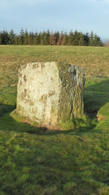
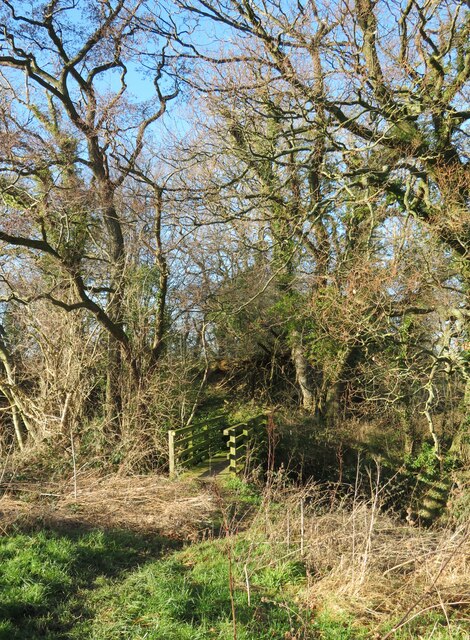
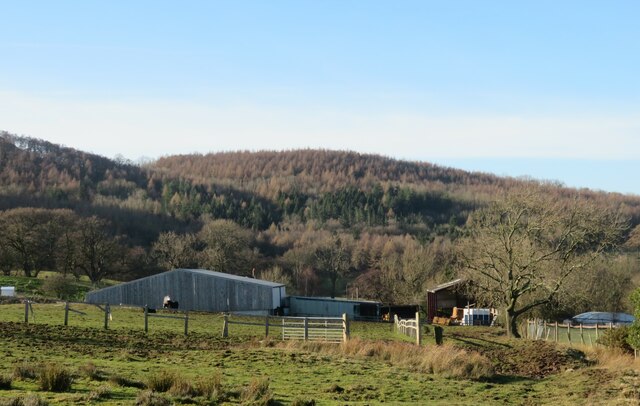
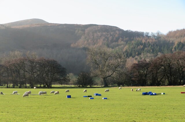
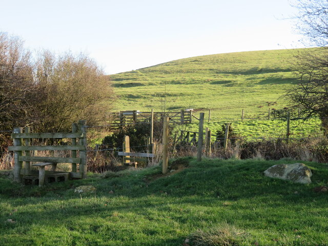
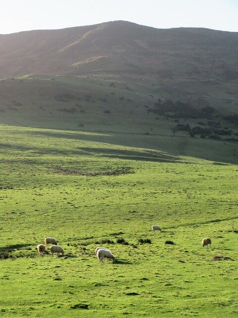
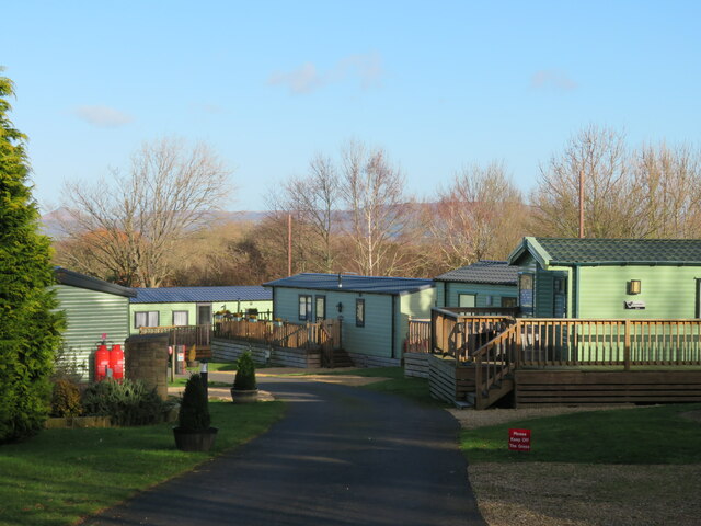
Kirkby Images
Images are sourced within 2km of 54.425724/-1.180314 or Grid Reference NZ5303. Thanks to Geograph Open Source API. All images are credited.


Kirkby is located at Grid Ref: NZ5303 (Lat: 54.425724, Lng: -1.180314)
Division: North Riding
Administrative County: North Yorkshire
District: Hambleton
Police Authority: North Yorkshire
What 3 Words
///blindfold.absent.stacks. Near Stokesley, North Yorkshire
Nearby Locations
Related Wikis
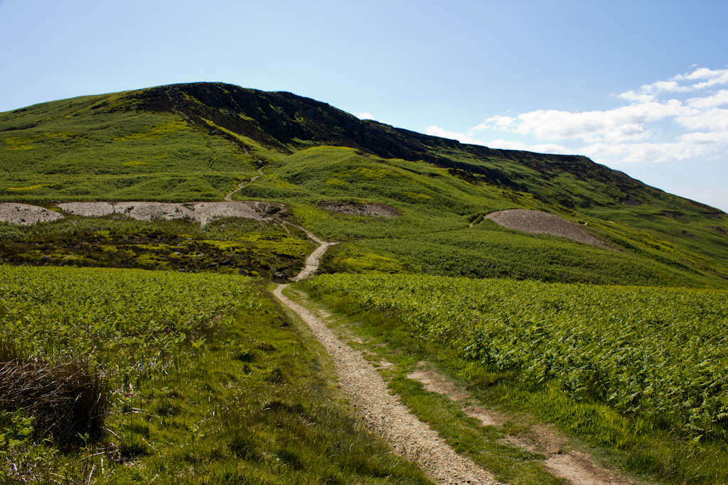
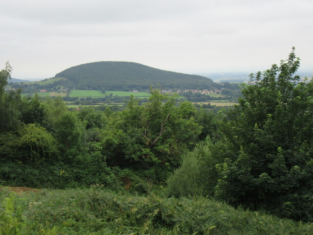
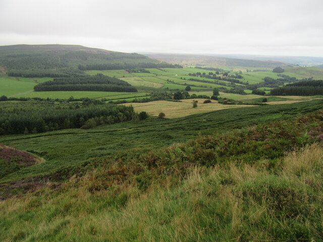
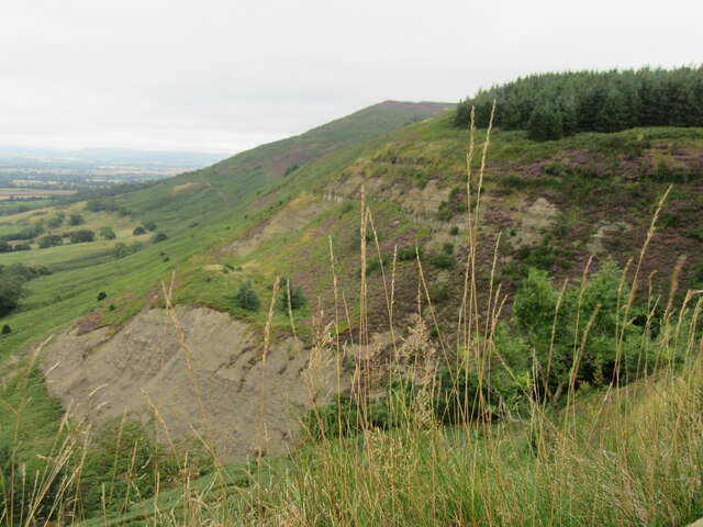
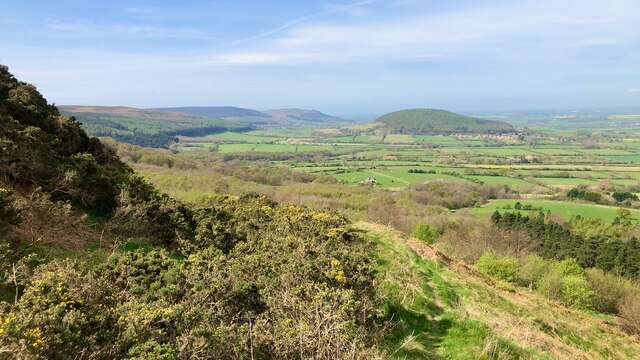
Cringle Moor
Cringle Moor (also known as Cranimoor), at 432 m (1,417 ft), is the third-highest hill in the North York Moors, England, and the highest point west of...

Cleveland Hills
The Cleveland Hills are a range of hills on the north-west edge of the North York Moors in North Yorkshire, England, overlooking Cleveland and Teesside...

Busby Hall
Busby Hall is a Grade II* listed Country House in Little Busby, North Yorkshire, England, close to the village of Carlton-in-Cleveland. The house and parkland...

Great Busby
Great Busby is a village and civil parish in the Hambleton District of North Yorkshire, England. The population of the parish was estimated at 70 in 2013...
Related Videos

Camping , Caravans & Glamping Pods . Southview Holiday Village. Great Busby TS9 7AX
This Lovely Holiday Village sits in Great Busby North Yorkshire Approx 3 miles from Stokesley and around 10 miles from ...

Southview Holiday Village STOKESLEY NORTH YORKSHIRE #caravanlife #glamping #northyork
Stokesley Show 23rd September 2023, this year. Half Hour drive into Middlesbrough and Captain Cooks Birthplace museum at ...

Coast to Coast: Solo Hiking Across the Country - Day 12 (4K)
Join me on Patreon! https://www.patreon.com/TinyPineOutdoors Day 12 of solo hiking the Coast to Coast. I packed away my tent ...

Nearby Amenities
Located within 500m of 54.425724,-1.180314Have you been to Kirkby?
Leave your review of Kirkby below (or comments, questions and feedback).