Thurstonland

Settlement in Yorkshire

England

Thurstonland

Top of the Hill A weavers' hamlet below Thurstonland.
Top of the Hill Credit: John Illingworth

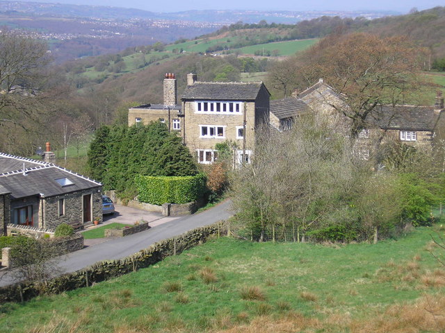
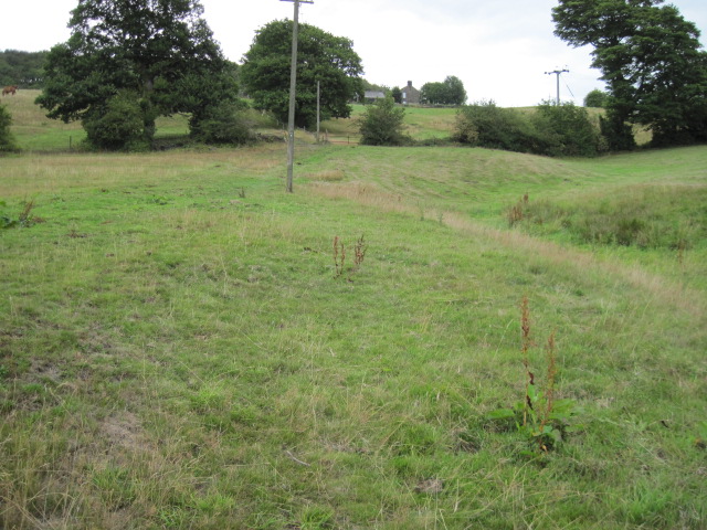
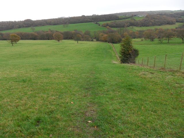
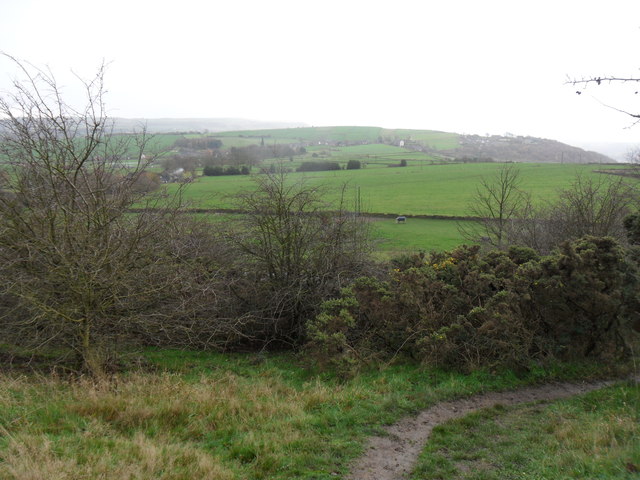
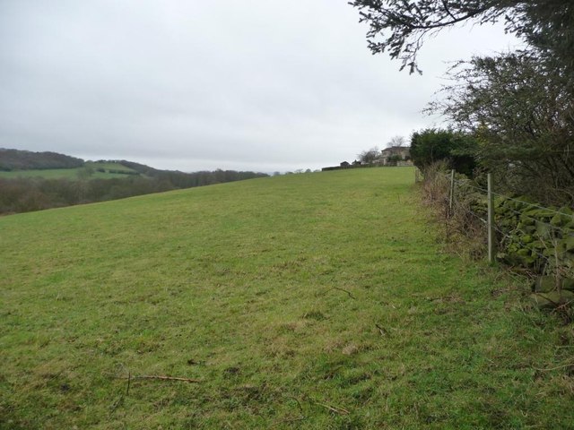
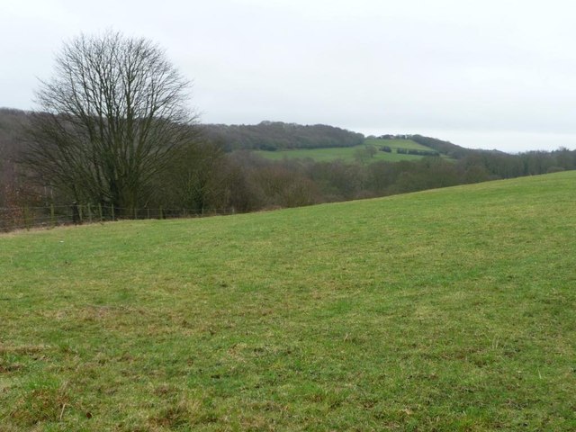
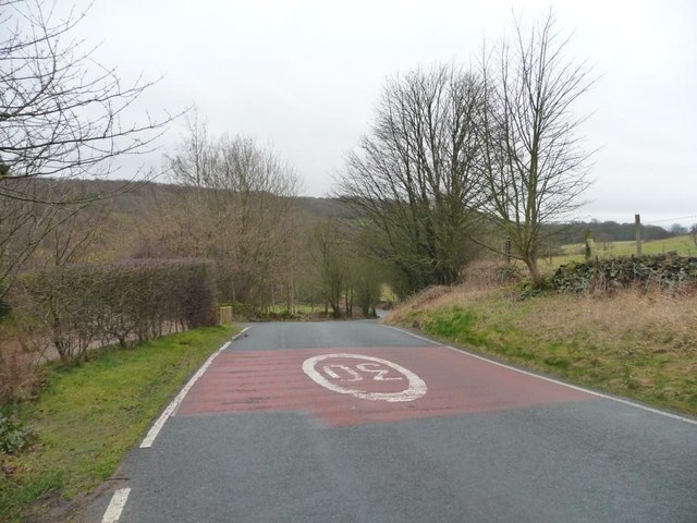
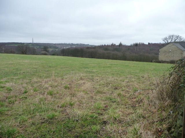
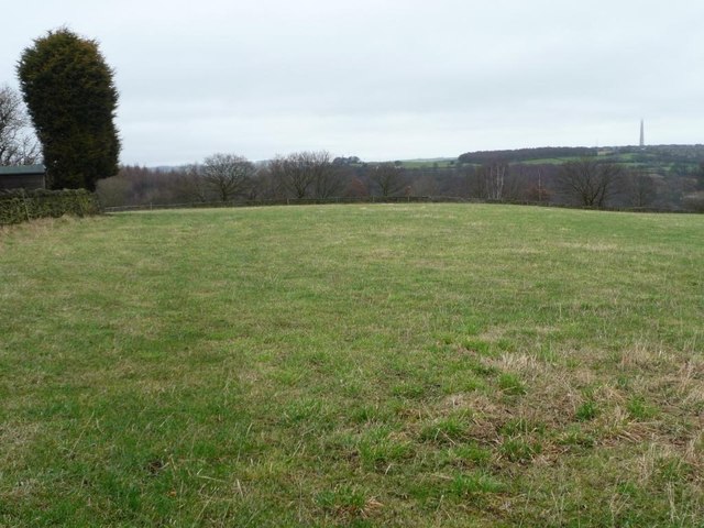
Thurstonland is a picturesque village located in the Holme Valley, within the county of West Yorkshire, England. Situated approximately seven miles south of Huddersfield, it is surrounded by rolling hills and stunning countryside, making it a popular destination for nature enthusiasts and hikers.

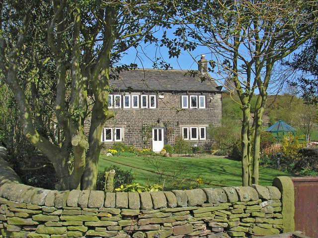
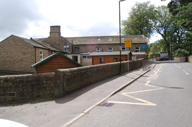
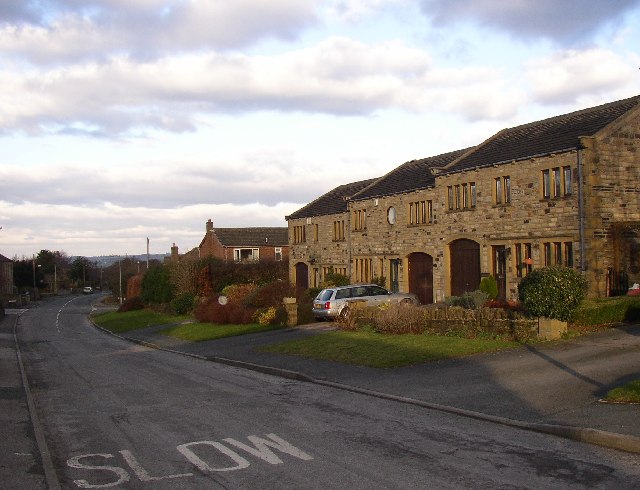
The village itself is small, with a population of around 600 residents. It is characterized by charming stone-built houses, some of which date back to the 17th century, adding to the area's quaint and historic atmosphere. The focal point of the village is St. Thomas' Church, a beautiful Grade II listed building that stands proudly at the heart of Thurstonland.

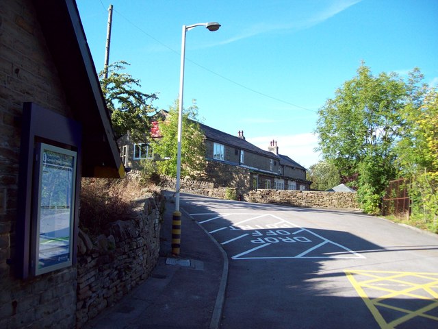
Thurstonland offers a close-knit community feel, with a range of local amenities including a village hall, a pub, and a primary school, which has been serving the village since the 19th century. The village also benefits from its proximity to larger towns and cities, with easy access to the vibrant cultural scene, shopping centers, and entertainment options of Huddersfield.

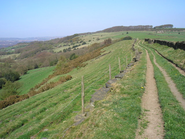
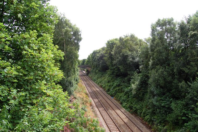
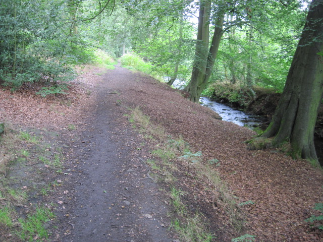
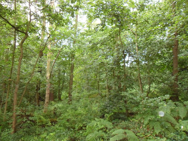
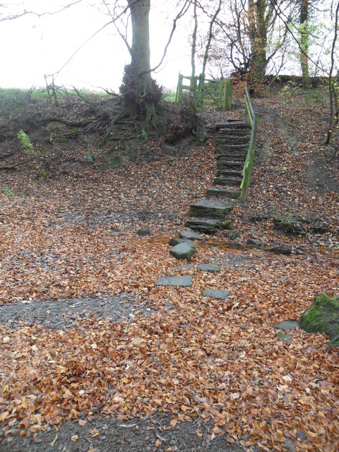
For outdoor enthusiasts, Thurstonland provides ample opportunities for exploration. The surrounding countryside is dotted with footpaths and bridleways, offering stunning views of the Holme Valley and the nearby Peak District National Park. The area also boasts an abundance of wildlife, making it a haven for birdwatchers and nature lovers.

In summary, Thurstonland is a charming and idyllic village nestled in the beautiful Yorkshire countryside. With its rich history, close-knit community, and breathtaking landscapes, it offers a serene escape from the hustle and bustle of city life.

If you have any feedback on the listing, please let us know in the comments section below.

Thurstonland Images

Images are sourced within 2km of 53.591258/-1.74842 or Grid Reference SE1610. Thanks to Geograph Open Source API. All images are credited.

Top of the Hill A weavers' hamlet below Thurstonland.
Top of the Hill
A weavers' hamlet below Thurstonland.
Lane near Thurstonland An old lane along the edge of a steep drop.
Lane near Thurstonland
An old lane along the edge of a steep drop.
Height Green A farmhouse between Thurstonland and Farnley Tyas.
Height Green
A farmhouse between Thurstonland and Farnley Tyas.
Stocksmoor Station Exit and Clothiers Arms Slip road leading out of this small railway station which is situated on the picturesque Penistone Line. In the background is the Clothiers Arms Public House.
Stocksmoor Station Exit and Clothiers Arms
Slip road leading out of this small railway station which is situated on the picturesque Penistone Line. In the background is the Clothiers Arms Public House.
Penistone Line near Stocksmoor Station
Thurstonland Primary School
Footpath beside River Holme
Footpath From Hall Ing Lane
Clough Wood Clough Wood near Stocksmoor.  Taken looking west from public footpath on a wet July day 2011.
Clough Wood
Clough Wood near Stocksmoor. Taken looking west from public footpath on a wet July day 2011.
Stone Wood Dike, near Shepley Stepping stones over Stone Wood Dike.
Stone Wood Dike, near Shepley
Stepping stones over Stone Wood Dike.
Field path, near Thurstonland Looking down field-edge path back towards Shepley.  Mathewman Wood is in the distance.
Field path, near Thurstonland
Looking down field-edge path back towards Shepley. Mathewman Wood is in the distance.
Farnley Moor footpath Looking south from the edge of Farnley Moor.  Thurstonland is in the distance.
Farnley Moor footpath
Looking south from the edge of Farnley Moor. Thurstonland is in the distance.
The eastern edge of Stocksmoor Below the houses' back gardens, above Stone Wood Dike.
The eastern edge of Stocksmoor
Below the houses' back gardens, above Stone Wood Dike.
Stone Wood The steep wooded valley of Stone Wood Dike, seen from Shepley Lane.
Stone Wood
The steep wooded valley of Stone Wood Dike, seen from Shepley Lane.
Shepley Lane Dropping down the valley side of Stone Wood Dike, at the edge of Stocksmoor village.
Shepley Lane
Dropping down the valley side of Stone Wood Dike, at the edge of Stocksmoor village.
Farmland north of Shepley Road With a distant view of Emley TV mast, 4 or 5 kilometres away.
Farmland north of Shepley Road
With a distant view of Emley TV mast, 4 or 5 kilometres away.
The eastern edge of Stocksmoor The large conifer is in a back garden. Four or five kms away, Emley TV mast still has its head in the clouds.
The eastern edge of Stocksmoor
The large conifer is in a back garden. Four or five kms away, Emley TV mast still has its head in the clouds.
Winter tree on Shepley Road What comes first, a bend or a tree?
Winter tree on Shepley Road
What comes first, a bend or a tree?
Show me another place!

Thurstonland is located at Grid Ref: SE1610 (Lat: 53.591258, Lng: -1.74842)

Division: West Riding

Unitary Authority: Kirklees

Police Authority: West Yorkshire

What 3 Words

///safari.matchbox.tech. Near Shepley, West Yorkshire

Related Wikis

Thurstonland

Thurstonland is a village in the civil parish of Kirkburton, in Kirklees, West Yorkshire, England. It has a population of almost 400. The village is on...

Church of St Thomas, Thurstonland

The Church of St Thomas, Thurstonland, West Yorkshire, England, is an Anglican church. It is an Arts and Crafts building in Gothic Revival style, designed...

Thurstonland and Farnley Tyas Urban District

Thurstonland and Farnley Tyas was an urban district in the West Riding of Yorkshire from 1925 to 1938. It was created in 1925 by the merger of the Thurstonland...

Stocksmoor

Stocksmoor is a hamlet, near Huddersfield, West Yorkshire, England. It is situated between the villages of Shepley and Brockholes. The total population...

Related Videos

WORLD'S STRANGEST NAMED PLACES #shorts

in this video we visit a strange named town village in yorkshire called neverthong. netherthong in my mind means something very ...

Farnley Tyas - Castle Hill

todays walk to be honest was just a get out and find somewhere to walk, not even a long walk as there was one of the storms ...

Countryside Villages Yorkshire United Kingdom|#travel #countryside #uktravel |@amazingworld4030

amazingworld4030 I visited the countryside villages a day food that places amazing, found different perspective of life there .

Walking dead part 2

Oscar tries to survive the walking dead.

Nearby Amenities

Located within 500m of 53.591258,-1.74842
Thurstonland
Is In: West Yorkshire, England, UK
Place: village
Wikidata: Q7799471
Wikipedia: en:Thurstonland
Lat/Long: 53.5899953/-1.7509898
Pub
Rose and Crown
Lat/Long: 53.5902089/-1.752116
Bus Stop
Marsh Hall Lane Moor Top Avenue
Local Ref: 45018745
Naptan AtcoCode: 450018745
Naptan Bearing: S
Naptan CommonName: Marsh Hall Lane Moor Top Avenue
Naptan Crossing: Nr-At Moor Top Avenue
Naptan Indicator: Stop 45018745
Naptan Landmark: Church
Naptan PlusbusZoneRef: LEEDS
Naptan ShortCommonName: Thurstonland Tunnel
Naptan Street: Marsh Hall Lane
Naptan Verified: no
Source: naptan_import
Lat/Long: 53.5938441/-1.7497204
Bus Stop
Thurstonland Town Moor
Local Ref: 45018746
Naptan AtcoCode: 450018746
Naptan Bearing: SE
Naptan CommonName: Thurstonland Town Moor
Naptan Crossing: Town Moor (Stocksmoor Lane)
Naptan Indicator: Stop 45018746
Naptan PlusbusZoneRef: LEEDS
Naptan ShortCommonName: Stocksmoor Lane
Naptan Street: Marsh Hall Lane
Naptan Verified: no
Source: naptan_import
Lat/Long: 53.5915694/-1.7494316
Bus Stop
Marsh Hall Lane Stocksmoor Lane
Local Ref: 45018747
Naptan AtcoCode: 450018747
Naptan Bearing: NW
Naptan CommonName: Marsh Hall Lane Stocksmoor Lane
Naptan Crossing: The Village (Stocksmoor Lane)
Naptan Indicator: Stop 45018747
Naptan Notes: New TF shelter installed on 10/12/07. Awaiting survey.
Naptan PlusbusZoneRef: LEEDS
Naptan ShortCommonName: Stocksmoor Lane
Naptan Street: Marsh Hall Lane
Naptan Verified: no
Source: naptan_import
Lat/Long: 53.5915068/-1.749568
The Village
Local Ref: 45024564
Naptan AtcoCode: 450024564
Naptan Bearing: W
Naptan BusStopType: CUS
Naptan CommonName: The Village
Naptan Crossing: Haw Cliff Lane
Naptan Indicator: Stop 45024564
Naptan Landmark: Manor House Farm
Naptan PlusbusZoneRef: LEEDS
Naptan ShortCommonName: Haw Cliff Lane
Naptan Street: The Village
Naptan Verified: no
Source: naptan_import
Lat/Long: 53.5900106/-1.7519487
Bus Stop
Town Moor Allotment
Local Ref: 45026727
Naptan AtcoCode: 450026727
Naptan Bearing: NE
Naptan CommonName: Town Moor Allotment
Naptan Crossing: Marsh Hall Lane
Naptan Indicator: Stop 45026727
Naptan Landmark: Sports Ground
Naptan PlusbusZoneRef: LEEDS
Naptan ShortCommonName: Marsh Hall Lane
Naptan Street: Town Moor
Naptan Verified: no
Source: naptan_import
Lat/Long: 53.5922662/-1.747403
Bus Stop
Town Moor Sports Ground
Local Ref: 45026728
Naptan AtcoCode: 450026728
Naptan Bearing: SW
Naptan CommonName: Town Moor Sports Ground
Naptan Crossing: Nr-Opp Marsh Hall Lane
Naptan Indicator: Stop 45026728
Naptan Landmark: Sports Ground
Naptan PlusbusZoneRef: LEEDS
Naptan ShortCommonName: Town Moor Allots
Naptan Street: Town Moor
Naptan Verified: no
Source: naptan_import
Lat/Long: 53.5921761/-1.7472978
Marsh Hall Lane Church
Local Ref: 45050681
Naptan AtcoCode: 450050681
Naptan Bearing: N
Naptan BusStopType: CUS
Naptan CommonName: Marsh Hall Lane Church
Naptan Indicator: Stop 45050681
Naptan PlusbusZoneRef: LEEDS
Naptan ShortCommonName: Thurstonland School
Naptan Street: Marsh Hall Lane
Naptan Verified: no
Source: naptan_import
Lat/Long: 53.5938535/-1.7499167
Fixme: point of speed limit change 30/(/)
Lat/Long: 53.5930837/-1.744613
Thurstonland Cricket Club
Leisure: pitch
Pitch: cricket
Source: survey
Sport: cricket
Lat/Long: 53.59374/-1.7476085
Generator Method: photovoltaic
Generator Output Electricity: yes
Generator Source: solar
Generator Type: solar_photovoltaic_panel
Location: roof
Power: generator
Lat/Long: 53.5924222/-1.7496596
Turning Circle
The Green
Lat/Long: 53.5911231/-1.7495851
Defibrillator
Access: yes
Defibrillator Location: On outside wall.
Emergency: defibrillator
Indoor: no
Opening Hours: 24/7
Ref GB The Circuit: E94ADFE3-70D5-4AC8-8B4C-AD440137CD33
Lat/Long: 53.5910526/-1.7503713
Bench
Backrest: yes
Lat/Long: 53.5926721/-1.7500796
Leisure: picnic_table
Lat/Long: 53.5938177/-1.7494006
Bench
Backrest: yes
Lat/Long: 53.5942647/-1.7492807
Bench
Backrest: yes
Lat/Long: 53.5908853/-1.7498951
The data included in this document is from www.openstreetmap.org. The data is made available under ODbL.

Have you been to Thurstonland?

Leave your review of Thurstonland below (or comments, questions and feedback).