Thurstonfield
Settlement in Cumberland Carlisle
England
Thurstonfield

Thurstonfield is a picturesque village located in the county of Cumberland, England. Situated approximately 8 miles west of the city of Carlisle, it is nestled in the beautiful countryside of the Lake District National Park. With a population of around 200 residents, Thurstonfield exudes a tranquil and close-knit community atmosphere.
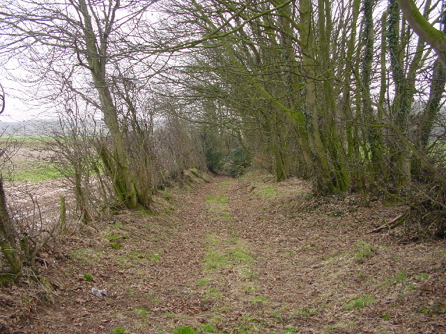
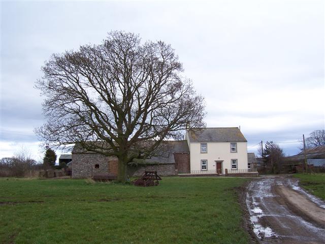
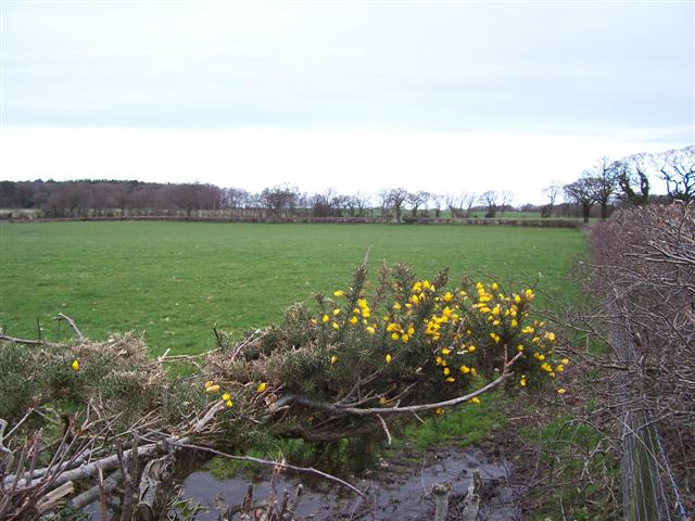
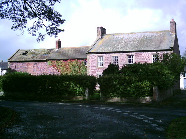
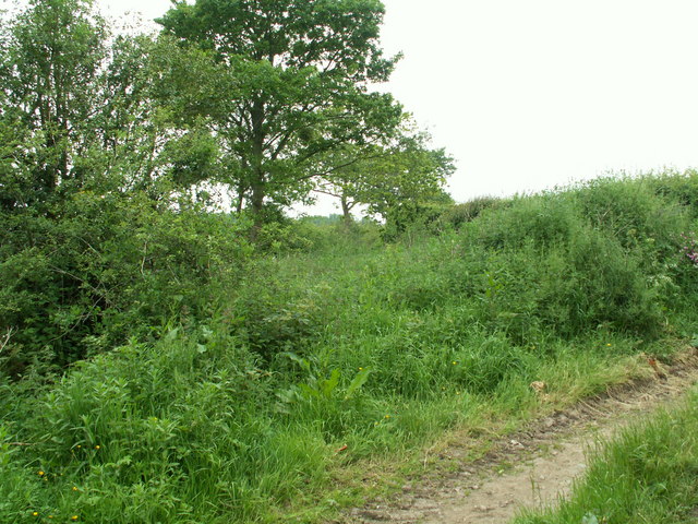
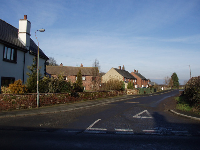
The village is known for its charming and well-preserved traditional cottages, constructed from local red sandstone, which add to its overall character. The surrounding landscape is dominated by rolling green hills, providing breathtaking views and ample opportunities for outdoor activities such as hiking and cycling.
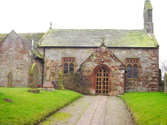
Thurstonfield is also renowned for its historical significance. The village is home to St. John's Church, a Grade II listed building dating back to the 12th century. This medieval church features stunning architectural details, including a Norman doorway and a beautifully carved oak screen.
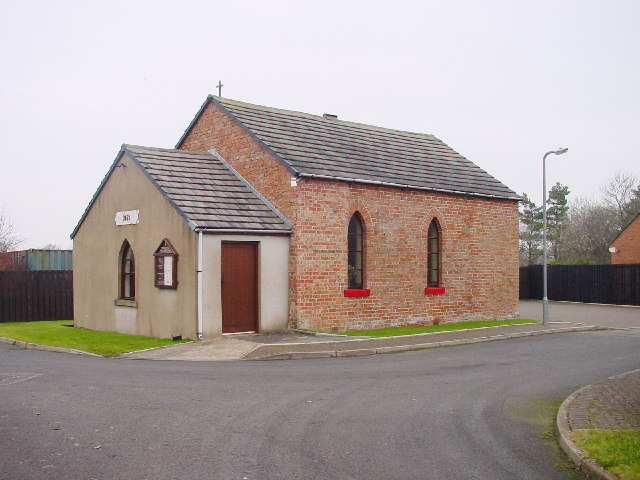
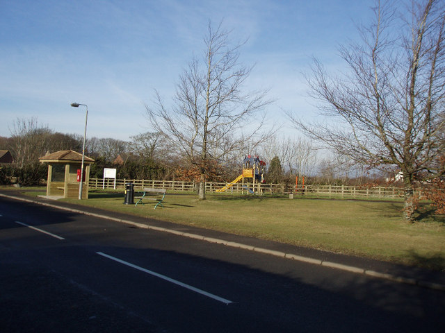
In terms of amenities, Thurstonfield offers a range of facilities to cater to the needs of its residents. These include a village hall, a primary school, and a local pub, where locals and visitors can enjoy a friendly atmosphere and sample traditional Cumberland cuisine.
Overall, Thurstonfield is a delightful village that combines natural beauty with a rich history. Its idyllic setting and strong sense of community make it an appealing place to live or visit for those seeking a peaceful retreat in the heart of the English countryside.
If you have any feedback on the listing, please let us know in the comments section below.
Thurstonfield Images
Images are sourced within 2km of 54.900785/-3.069274 or Grid Reference NY3156. Thanks to Geograph Open Source API. All images are credited.


Thurstonfield is located at Grid Ref: NY3156 (Lat: 54.900785, Lng: -3.069274)
Administrative County: Cumbria
District: Carlisle
Police Authority: Cumbria
What 3 Words
///mouth.brush.butchers. Near Denton Holme, Cumbria
Nearby Locations
Related Wikis

Thurstonfield Lough
Thurstonfield Lough is an open water lough near Carlisle, Cumbria, and a Site of Special Scientific Interest. == References ==

Kirkbampton
Kirkbampton is a village and civil parish on the B5307 road in the English county of Cumbria. The parish population taken at the 2011 census was 482. It...

St Peter's Church, Kirkbampton
St. Peter's Church is in the village of Kirkbampton, Cumbria, England. It is an active Anglican parish church in the deanery of Carlisle, the archdeaconry...

Moorhouse, Cumbria
Moorhouse is a village on the B5307 road in the civil parish of Burgh by Sands in the English county of Cumbria. It is near the city of Carlisle. In 1870...

Longburgh
Longburgh is a hamlet in the civil parish of Burgh by Sands, in the City of Carlisle District, in the English county of Cumbria. Nearby settlements include...
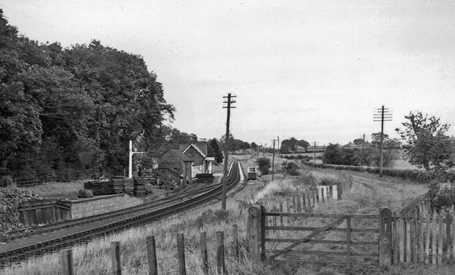
Burgh-by-Sands railway station
Burgh-by-Sands railway station was originally named Burgh (pronounced "Bruff"). It opened in 1854 on the Port Carlisle Railway branch and later the Silloth...
Oughterby
Oughterby is a hamlet in the English county of Cumbria. It is near the city of Carlisle and the village of Kirkbampton. For transport there is the B5307...
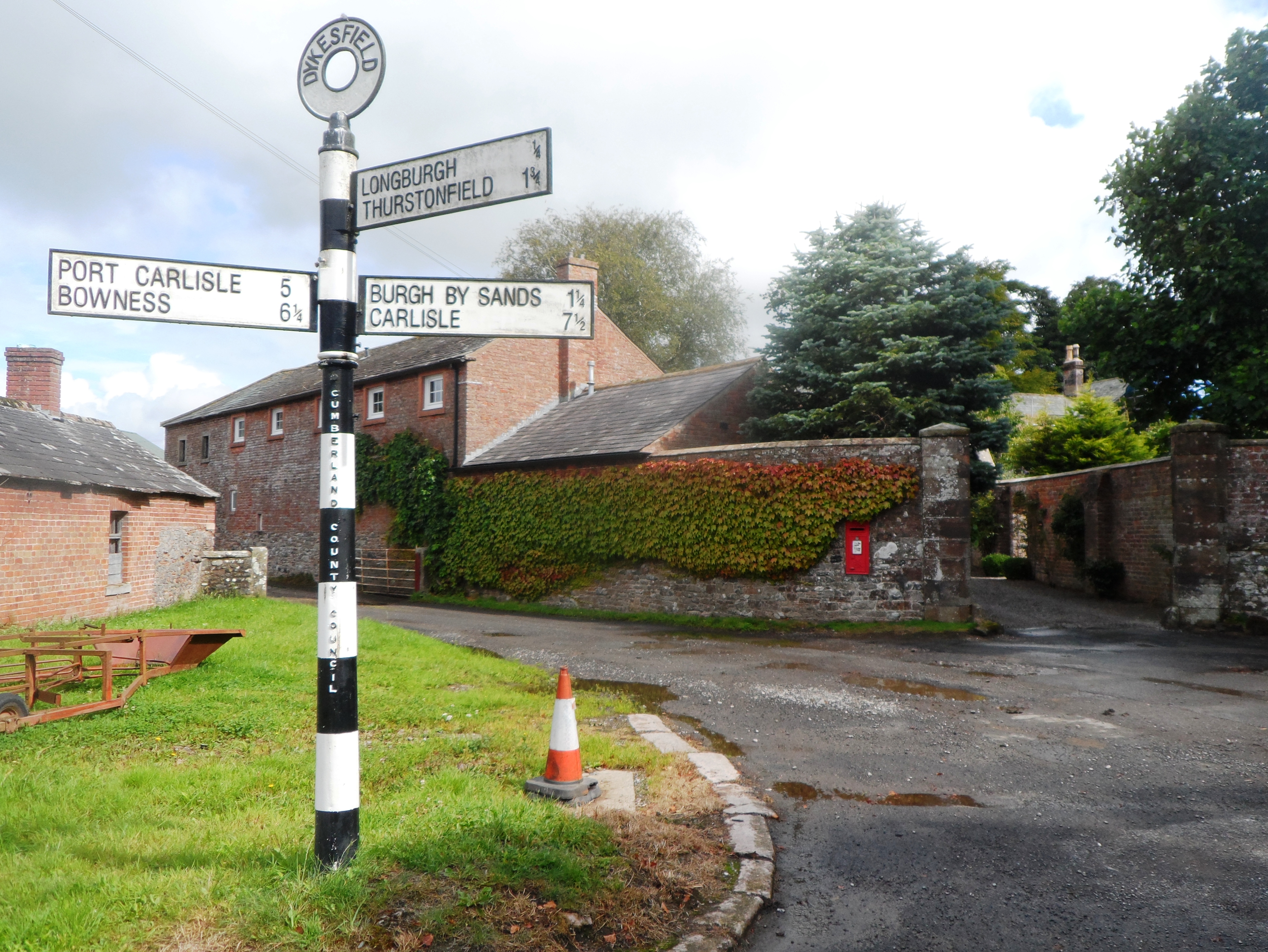
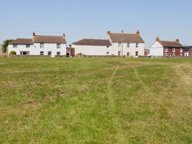
Dykesfield
Dykesfield is a hamlet in Cumbria, England. Occupied since at least Roman times, archaeological have excavated at Dykesfield. It contains Dykesfield House...
Nearby Amenities
Located within 500m of 54.900785,-3.069274Have you been to Thurstonfield?
Leave your review of Thurstonfield below (or comments, questions and feedback).