Thurstonfield Lough
Lake, Pool, Pond, Freshwater Marsh in Cumberland Carlisle
England
Thurstonfield Lough
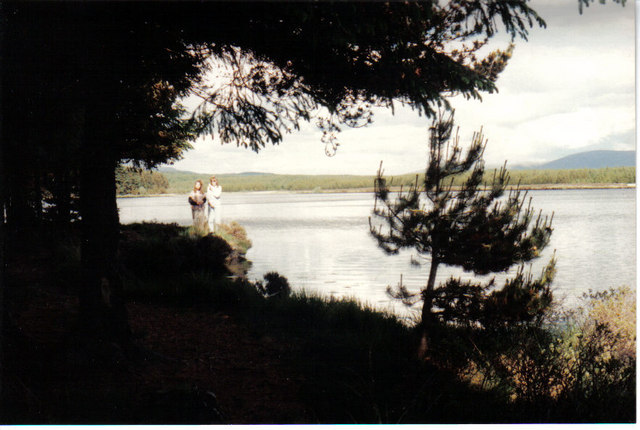
Thurstonfield Lough, located in Cumberland, England, is a picturesque freshwater marsh that offers a sanctuary for diverse wildlife and a tranquil setting for visitors. With its serene atmosphere and rich biodiversity, it has become a popular destination for nature enthusiasts and birdwatchers.
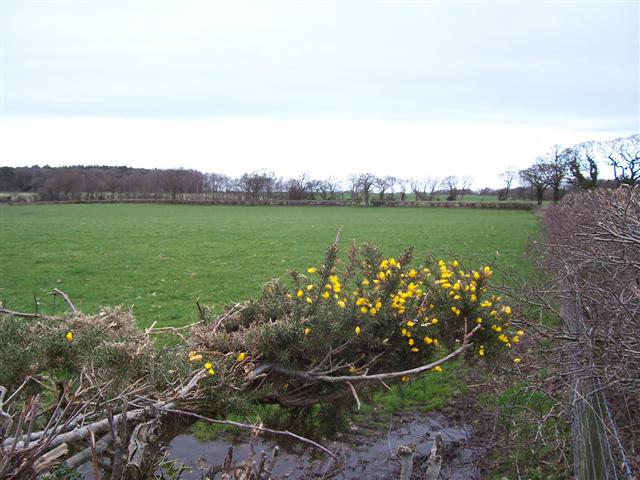
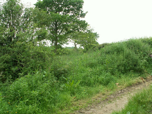
Covering an area of approximately 100 hectares, Thurstonfield Lough is classified as a lake, pool, pond, and freshwater marsh, owing to its diverse characteristics. It is fed by several small streams that flow into the lough, ensuring a constant supply of freshwater. The marshy edges of the lough are covered in reeds and other aquatic vegetation, providing a crucial habitat for numerous plant and animal species.
One of the main attractions of Thurstonfield Lough is its abundant birdlife. The lough serves as a breeding ground and wintering habitat for several waterbird species, including tufted ducks, teals, and wigeons. Additionally, it attracts a variety of other bird species, such as grebes, herons, and swallows, making it a prime spot for birdwatchers. The lough's surrounding fields and hedgerows also provide nesting sites for smaller birds like warblers and finches.
Aside from its avian inhabitants, Thurstonfield Lough is home to a range of other wildlife. The marshy vegetation supports a diverse array of insects, amphibians, and small mammals. Dragonflies and damselflies can often be spotted darting above the water, while frogs and newts find refuge in the lush vegetation. The lough is also frequented by otters, which are known to reside in the area.
For those seeking a peaceful escape amidst nature, Thurstonfield Lough offers walking trails and observation points. Its tranquil waters, vibrant birdlife, and diverse ecosystem make it a truly captivating destination for all nature enthusiasts to explore and appreciate.
If you have any feedback on the listing, please let us know in the comments section below.
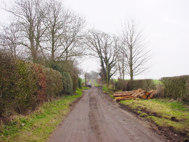
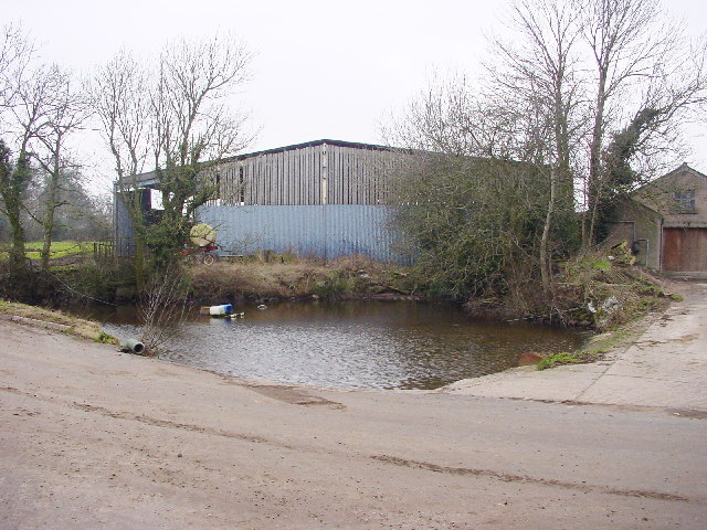
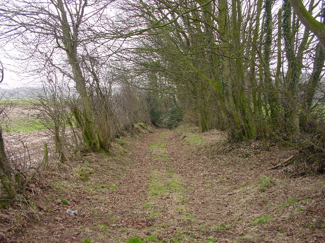
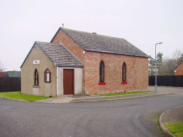
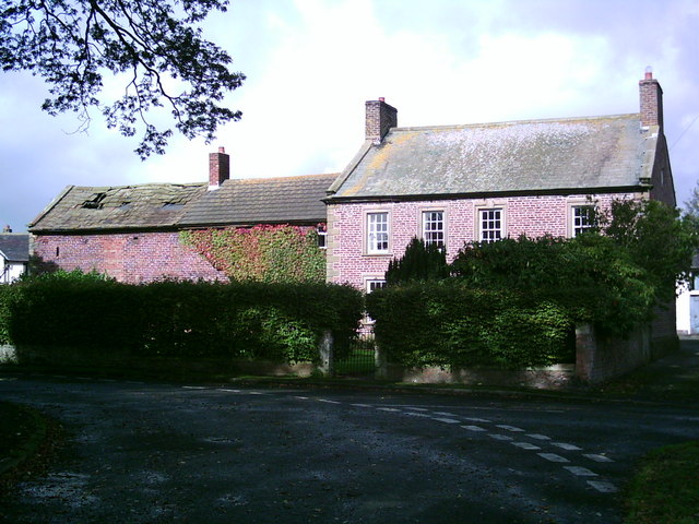
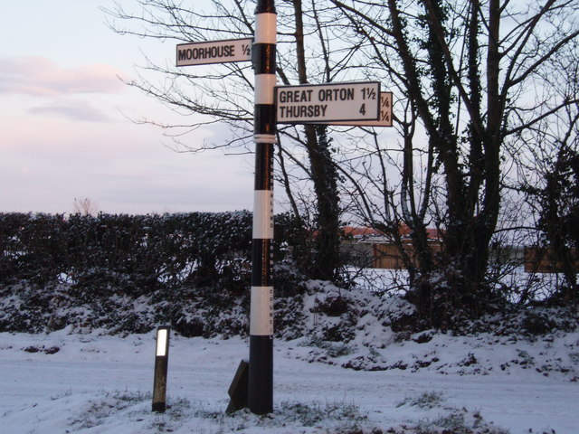
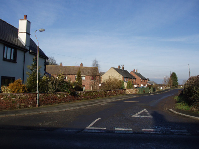
Thurstonfield Lough Images
Images are sourced within 2km of 54.89662/-3.061956 or Grid Reference NY3156. Thanks to Geograph Open Source API. All images are credited.

Thurstonfield Lough is located at Grid Ref: NY3156 (Lat: 54.89662, Lng: -3.061956)
Administrative County: Cumbria
District: Carlisle
Police Authority: Cumbria
What 3 Words
///redefined.pimples.giggle. Near Dalston, Cumbria
Nearby Locations
Related Wikis

Thurstonfield Lough
Thurstonfield Lough is an open water lough near Carlisle, Cumbria, and a Site of Special Scientific Interest. == References ==

Kirkbampton
Kirkbampton is a village and civil parish on the B5307 road in the English county of Cumbria. The parish population taken at the 2011 census was 482. It...

Moorhouse, Cumbria
Moorhouse is a village on the B5307 road in the civil parish of Burgh by Sands in the English county of Cumbria. It is near the city of Carlisle. In 1870...

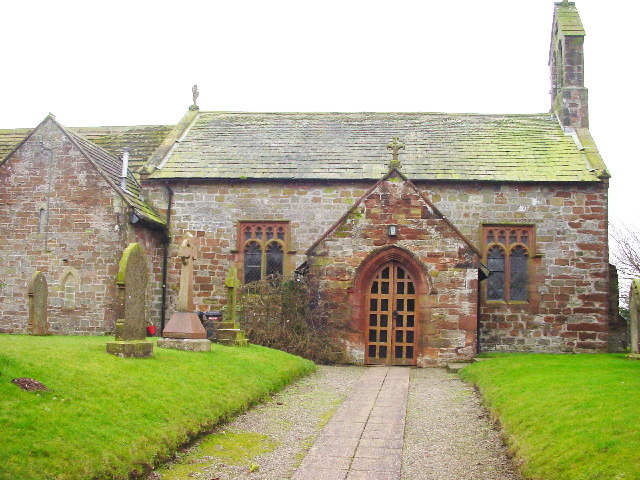
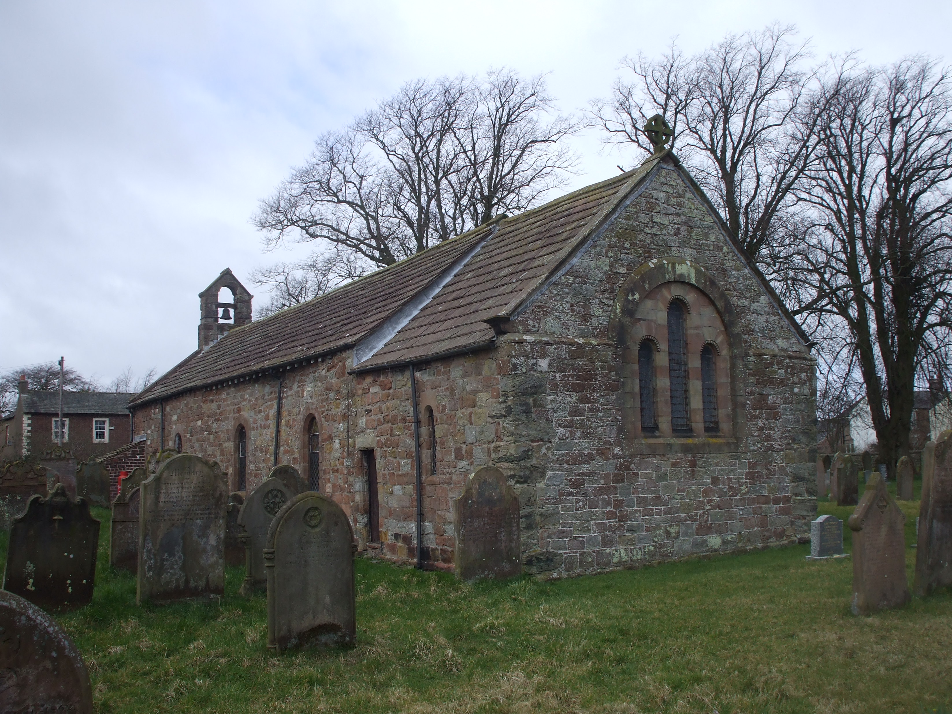
St Peter's Church, Kirkbampton
St. Peter's Church is in the village of Kirkbampton, Cumbria, England. It is an active Anglican parish church in the deanery of Carlisle, the archdeaconry...
Great Orton
Great Orton is a village in the parish of Orton, in the City of Carlisle district of the English county of Cumbria. The population of the civil parish...
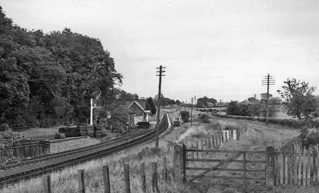
Burgh-by-Sands railway station
Burgh-by-Sands railway station was originally named Burgh (pronounced "Bruff"). It opened in 1854 on the Port Carlisle Railway branch and later the Silloth...
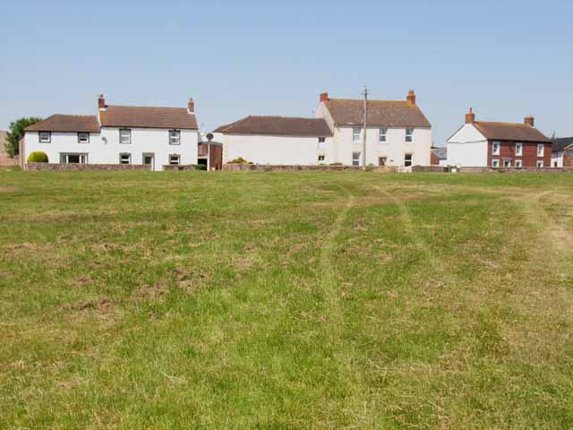
Oughterby
Oughterby is a hamlet in the English county of Cumbria. It is near the city of Carlisle and the village of Kirkbampton. For transport there is the B5307...

Orton Moss
Orton Moss is a Site of Special Scientific Interest located west of the city of Carlisle in northwest England. Orton Moss is a former raised mire and divided...
Nearby Amenities
Located within 500m of 54.89662,-3.061956Have you been to Thurstonfield Lough?
Leave your review of Thurstonfield Lough below (or comments, questions and feedback).