Brookend

Settlement in Oxfordshire West Oxfordshire

England

Brookend

Harvest in the Evenlode Valley Newly made straw bales on the fields west of Charlbury.
Harvest in the Evenlode Valley Credit: Colin Smith

Brookend is a charming village located in the county of Oxfordshire, England. Situated just a few miles south of the historic city of Oxford, Brookend offers a peaceful and idyllic setting for residents and visitors alike.

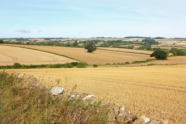
The village is surrounded by picturesque countryside, with rolling hills and meandering streams. It boasts a rich history, dating back many centuries. The name "Brookend" itself refers to the village's location at the end of a brook, which runs through the heart of the community.

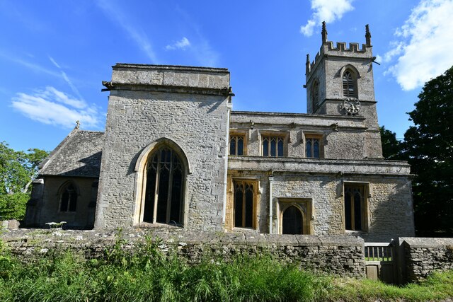
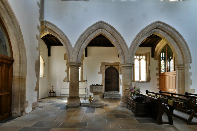
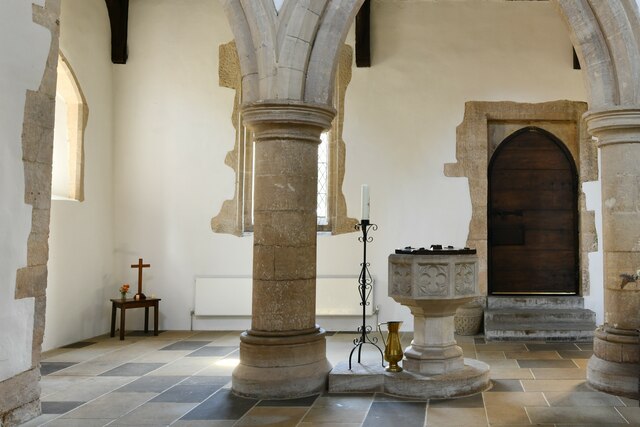
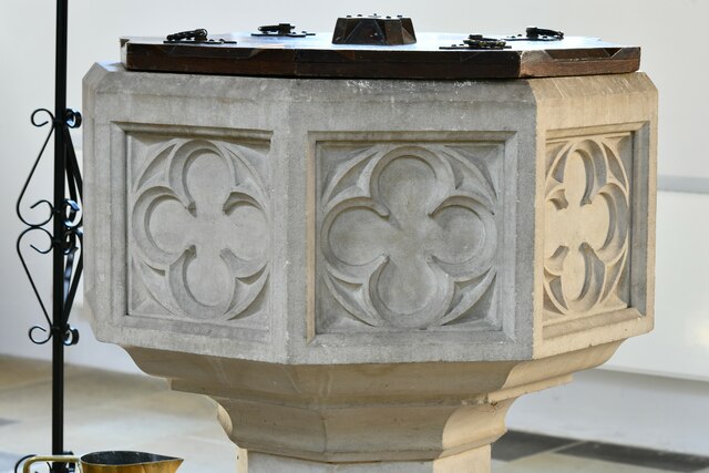
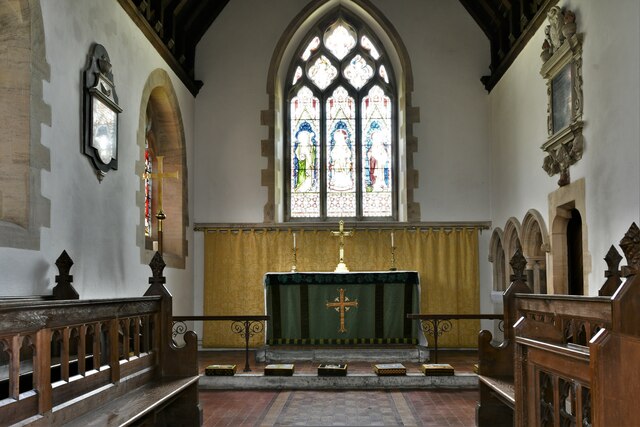
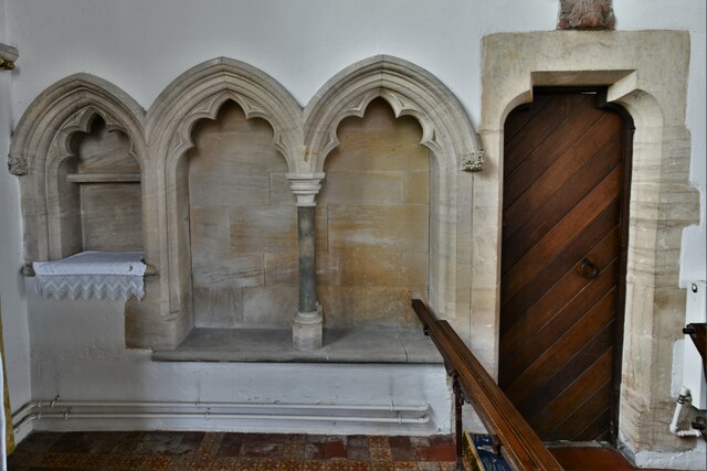
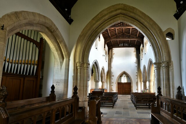
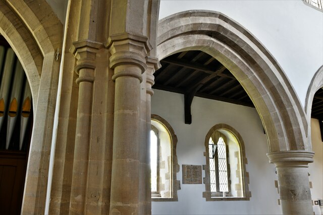
Despite its small size, Brookend is home to a close-knit community that takes great pride in preserving its heritage. The village features a number of traditional thatched-roof cottages, which add to its quintessential English charm. The local church, St. Mary's, is a prominent landmark and serves as a focal point for social gatherings and events.

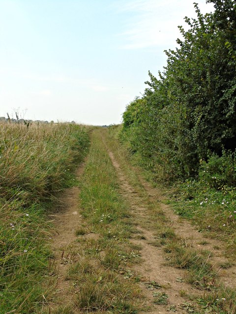
Nature lovers will appreciate the abundance of walking and cycling trails that crisscross the surrounding countryside. The nearby River Thames also offers opportunities for boating and fishing. For those seeking a taste of city life, the vibrant city of Oxford is just a short drive away, offering a wealth of cultural and entertainment options.

Overall, Brookend is a hidden gem in Oxfordshire, offering a tranquil escape from the hustle and bustle of city life. Its picturesque setting, rich history, and warm community make it a truly special place to visit or call home.

If you have any feedback on the listing, please let us know in the comments section below.
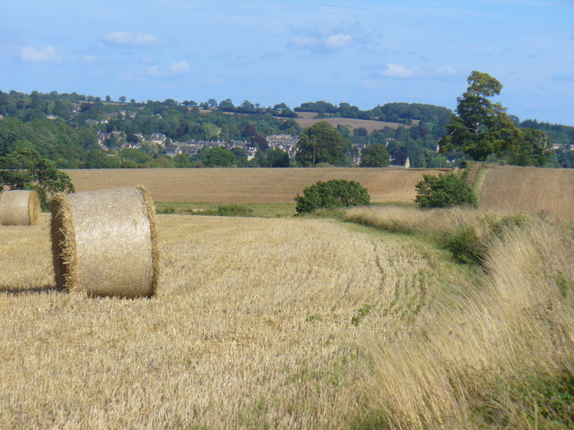
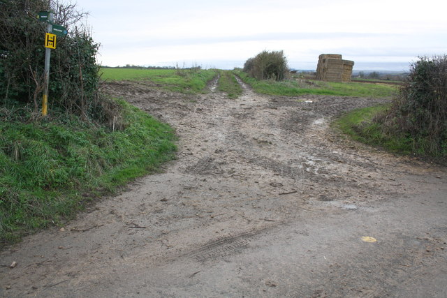
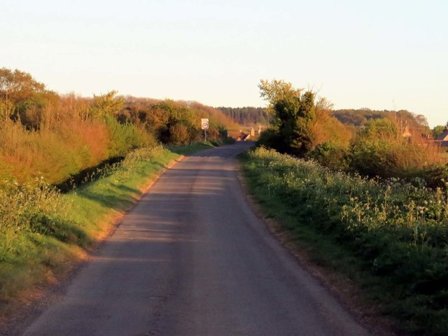
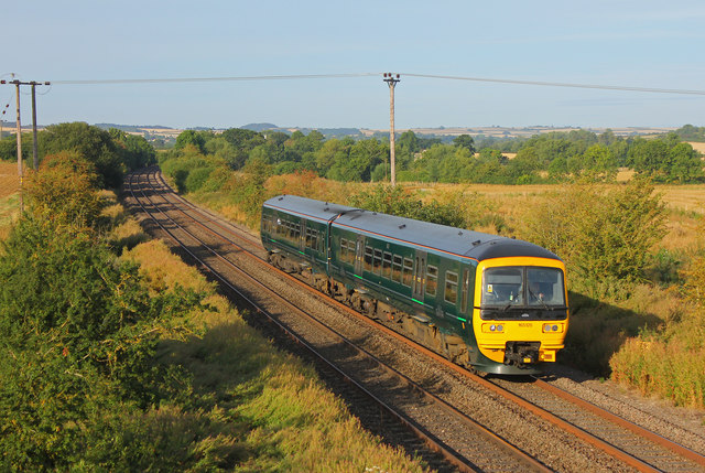
Brookend Images

Images are sourced within 2km of 51.892418/-1.529143 or Grid Reference SP3221. Thanks to Geograph Open Source API. All images are credited.

Harvest in the Evenlode Valley Newly made straw bales on the fields west of Charlbury.
Harvest in the Evenlode Valley
Newly made straw bales on the fields west of Charlbury.
Junction of footpaths at road bend
Pudlicote Lane to Chilson
Railway at Chilson Local stopping train passing Chilson.
Railway at Chilson
Local stopping train passing Chilson.
View at Shorthampton View across the Cotswolds from near Shorthampton.
View at Shorthampton
View across the Cotswolds from near Shorthampton.
Bridleway to Chilson from Shorthampton
Tornado near Shorthampton A1 4-6-2 No. 60163 'Tornado' speeds through the Cotswolds, about to pass under the Catsham Lane bridge with the 'Red Rose' railtour from London to Worcester.
Tornado near Shorthampton
A1 4-6-2 No. 60163 'Tornado' speeds through the Cotswolds, about to pass under the Catsham Lane bridge with the 'Red Rose' railtour from London to Worcester.
Chadlington, St. Nicholas Church: Northern aspect
Chadlington, St. Nicholas Church: The Victorian font 1
Chadlington, St. Nicholas Church: The Victorian font 2
Chadlington, St. Nicholas Church: The Victorian font 3
Chadlington, St. Nicholas Church: The Victorian font 4
Chadlington, St. Nicholas Church: The chancel
Chadlington, St. Nicholas Church: Piscina and double sedilia
Chadlington, St. Nicholas Church: Sedilia carving
Chadlington, St. Nicholas Church: The chancel and nave beyond
Chadlington, St. Nicholas Church: Carved leaf poppyhead
Chadlington, St. Nicholas Church: c13th Early English period arch
Show me another place!

Brookend is located at Grid Ref: SP3221 (Lat: 51.892418, Lng: -1.529143)

Administrative County: Oxfordshire

District: West Oxfordshire

Police Authority: Thames Valley

What 3 Words

///resorting.bitters.quarrel. Near Charlbury, Oxfordshire

Related Wikis

Chadlington

Chadlington is a village and civil parish in the Evenlode Valley about 3 miles (5 km) south of Chipping Norton, Oxfordshire. The village has four neighbourhoods...

Shorthampton

Shorthampton is a hamlet in Chilson civil parish about 2 miles (3 km) west of Charlbury, in Oxfordshire, England. The oldest parts of the Church of England...

Knollbury

Knollbury is a scheduled Iron Age hillfort enclosure to the north west of Chadlington in Oxfordshire. Believed to be defensive in nature the enclosure...

Dean, Oxfordshire

Dean is a hamlet in Spelsbury civil parish, about 2 miles (3 km) north of Charlbury and 3.5 miles (5.6 km) southeast of Chipping Norton, Oxfordshire. Its...

Nearby Amenities

Located within 500m of 51.892418,-1.529143
Chadlington
Traffic Sign: city_limit
Lat/Long: 51.893681/-1.5248563
Bus Stop
Post Office
Bus: yes
Naptan AtcoCode: 340001905OPP
Naptan Bearing: E
Naptan CommonName: Post Office
Naptan Indicator: Opposite
Naptan Landmark: Post Office
Naptan NaptanCode: oxfgjdjg
Naptan Street: Bull Hill
Naptan Verified: no
Public Transport: platform
Source: naptan_import
Lat/Long: 51.8956723/-1.5247342
Brookend
Place: neighbourhood
Source: OS_OpenData_StreetView
Lat/Long: 51.8933235/-1.5287794
Greenend
Place: neighbourhood
Source: OS_OpenData_StreetView
Lat/Long: 51.8907711/-1.5309381
Westend
Place: neighbourhood
Source: OS_OpenData_StreetView
Lat/Long: 51.895633/-1.5256381
Chadlington Quality Foods
Shop: deli
Lat/Long: 51.8962084/-1.5260207
Barrier: stile
Lat/Long: 51.8920601/-1.5276485
Slatters
Shop: butcher
Lat/Long: 51.8962856/-1.5260696
Post Box
Operator: Royal Mail
Post Box Type: pillar
Ref: OX7 96
Royal Cypher: EIIR
Royal Cypher Wikidata: Q33102113
Lat/Long: 51.8956598/-1.5253012
Chadlington Parish Council
Board Type: notice
Information: board
Tourism: information
Lat/Long: 51.8956381/-1.5252602
Addr Housenumber: 1
Lat/Long: 51.8939572/-1.5245186
Addr Housenumber: 2
Lat/Long: 51.8939018/-1.5245011
Addr Housename: Catsum House
Lat/Long: 51.894066/-1.5243972
Addr Housename: Mount Pleasant
Lat/Long: 51.8947759/-1.5262038
Addr Housename: The Old Brew House
Lat/Long: 51.8951103/-1.525662
Addr Housename: Bull Hill House
Lat/Long: 51.8950871/-1.5259798
Addr Housename: St Christophers
Lat/Long: 51.8949704/-1.5261649
Addr Housename: Post Office Cottage
Lat/Long: 51.8953304/-1.5249766
Addr Housename: Maple Cottage
Lat/Long: 51.8954248/-1.5250638
Addr Housename: Sandys House
Lat/Long: 51.8953423/-1.5255471
Addr Housename: Horseshoe Cottage
Lat/Long: 51.8944395/-1.5250423
Addr Housename: April Cottage
Lat/Long: 51.8943363/-1.5250508
Addr Housename: Apple Brook House
Lat/Long: 51.8941377/-1.5250917
Addr Housename: Boot Cottage
Lat/Long: 51.8921939/-1.5277344
Addr Housename: The Willows
Lat/Long: 51.8926574/-1.5285565
Addr Housename: Brookside Cottage
Lat/Long: 51.8926698/-1.5278403
Addr Housename: Little Brook
Lat/Long: 51.8926339/-1.5275537
Addr Housename: Rose Cottage
Lat/Long: 51.8934685/-1.5280083
Addr Housename: Millbrook
Lat/Long: 51.8933455/-1.5280246
Addr Housename: Lower Court Cottage
Lat/Long: 51.8888745/-1.529445
Addr Housename: Alfies Cottage
Lat/Long: 51.8887937/-1.529385
Addr Housename: Old Forge
Lat/Long: 51.8892757/-1.5297778
Addr Housename: West Bridge Cottage
Lat/Long: 51.8893822/-1.5298671
Addr Housename: Greywalls
Lat/Long: 51.8905989/-1.5319689
Addr Housename: Wheelwrights
Lat/Long: 51.8907496/-1.5317356
Addr Housename: Jasmine Cottage
Lat/Long: 51.8909017/-1.531258
Addr Housename: Laburnum Cottage
Lat/Long: 51.8909683/-1.5311659
Addr Housename: Peartree Cottage
Lat/Long: 51.8910307/-1.5310509
Addr Housename: Aran
Lat/Long: 51.8911395/-1.530849
Addr Housename: Safama
Lat/Long: 51.891321/-1.5307439
Addr Housenumber: 1
Lat/Long: 51.8917733/-1.5306508
Addr Housename: Rill Cottage
Lat/Long: 51.8917088/-1.530742
Addr Housenumber: 42
Lat/Long: 51.8916574/-1.5307876
The data included in this document is from www.openstreetmap.org. The data is made available under ODbL.

Have you been to Brookend?

Leave your review of Brookend below (or comments, questions and feedback).