Greenend

Settlement in Oxfordshire West Oxfordshire

England

Greenend

Pond near Chilson Farm
Pond near Chilson Farm Credit: JThomas

Greenend is a charming village located in the county of Oxfordshire, England. Situated approximately 10 miles northeast of the historic city of Oxford, this rural settlement offers a tranquil and picturesque setting for its residents and visitors alike.

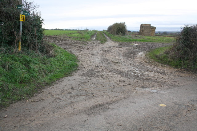
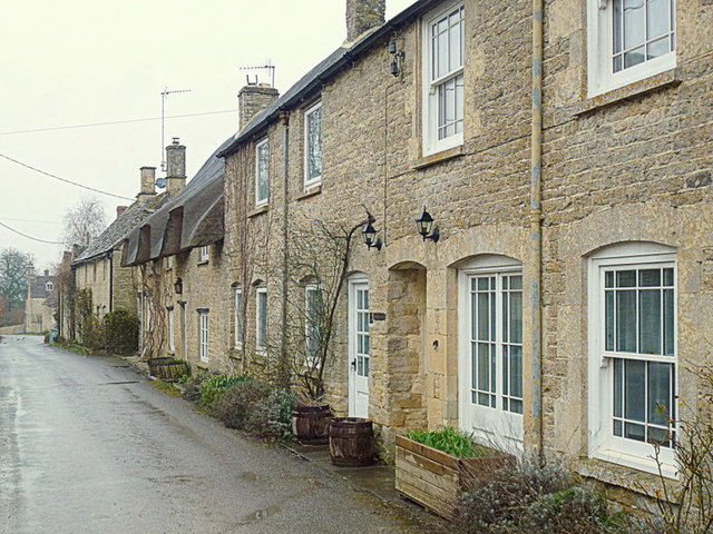
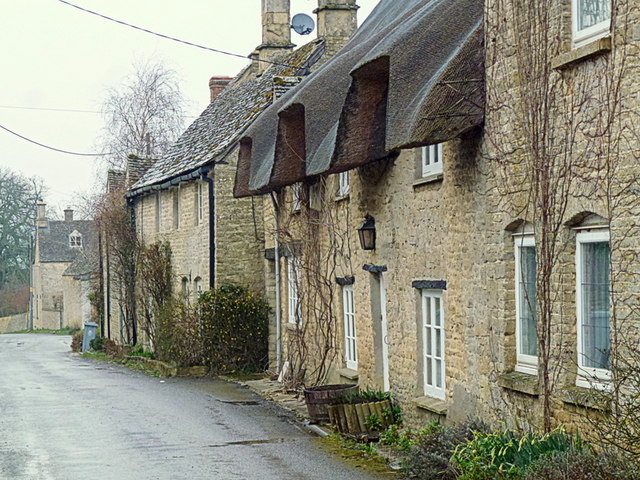
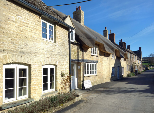
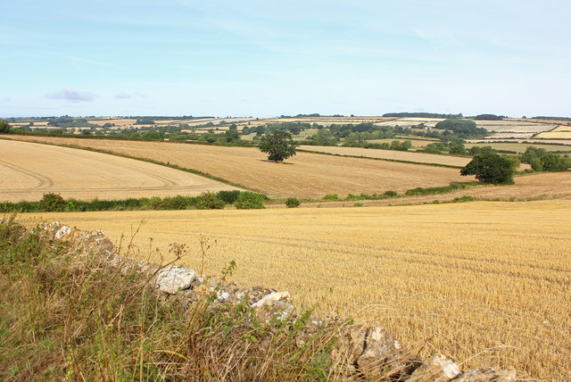
Surrounded by rolling hills and lush green fields, Greenend embodies the quintessential English countryside. The village is characterized by its traditional stone cottages with thatched roofs, adding to its idyllic charm. The community is small, comprising of around 200 residents, fostering a tight-knit and friendly atmosphere.

Despite its small size, Greenend benefits from a range of amenities. The village boasts a local pub, The Green Lion, which serves as a popular meeting place for locals and visitors to enjoy a pint or traditional British meal. Additionally, there is a village hall that hosts various events and social gatherings throughout the year, fostering a sense of community spirit.

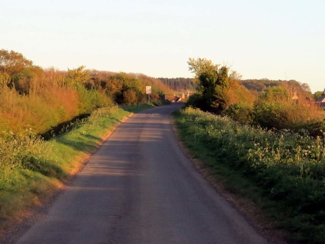
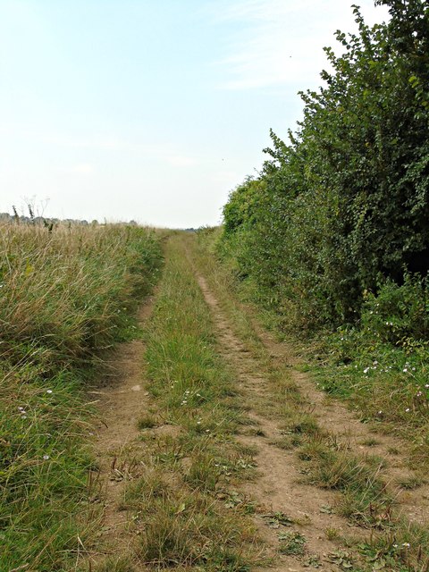
Greenend is surrounded by picturesque walking trails, inviting nature enthusiasts to explore the stunning countryside. The village is also located near the River Cherwell, providing opportunities for boating and fishing. For those seeking a taste of city life, the vibrant city of Oxford is within easy reach, offering a wealth of cultural and educational attractions.

In summary, Greenend is a delightful village in Oxfordshire that offers a serene and picturesque setting for its residents. With its charming cottages, friendly community, and proximity to both nature and city life, Greenend is a true gem of the English countryside.

If you have any feedback on the listing, please let us know in the comments section below.
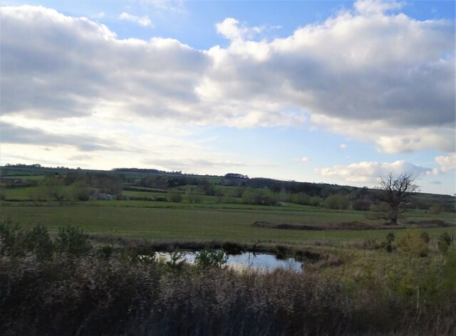
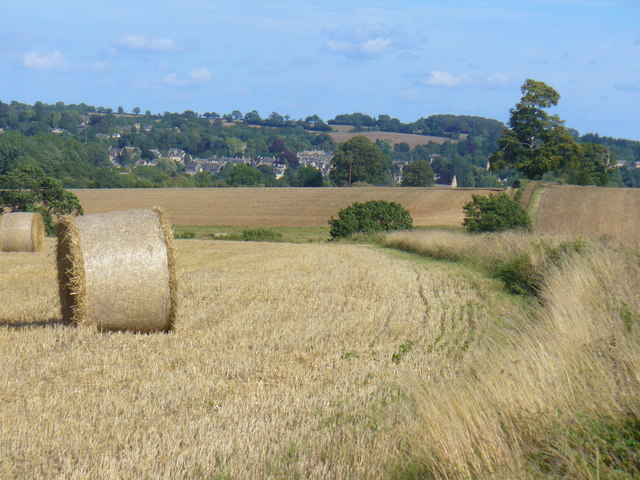
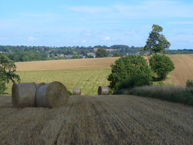
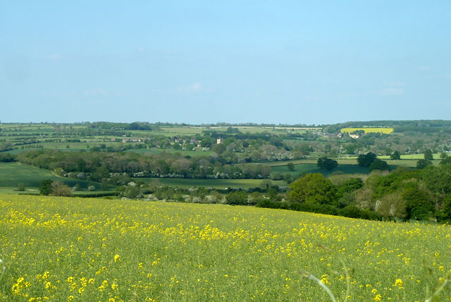
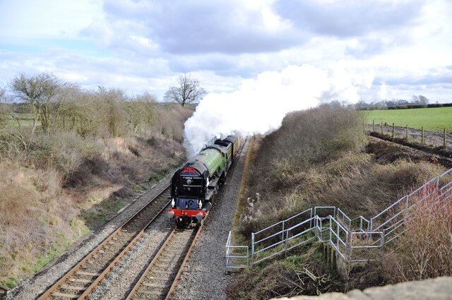
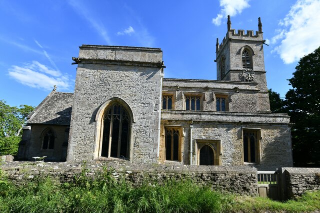
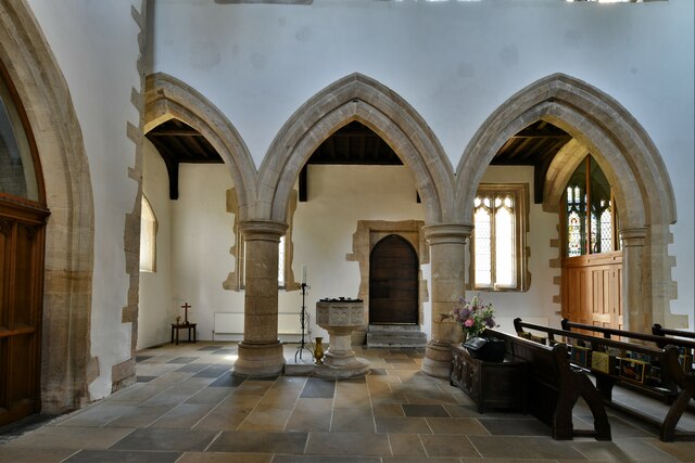
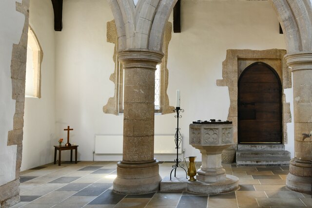
Greenend Images

Images are sourced within 2km of 51.890176/-1.53062 or Grid Reference SP3221. Thanks to Geograph Open Source API. All images are credited.

Pond near Chilson Farm
Harvest in the Evenlode Valley Newly made straw bales on the fields west of Charlbury.
Harvest in the Evenlode Valley
Newly made straw bales on the fields west of Charlbury.
Bales, East of Catsham Lane Harvest time in the Evenlode Valley, west of Charlbury.
Bales, East of Catsham Lane
Harvest time in the Evenlode Valley, west of Charlbury.
View towards Spelsbury Across the valley of the River Evenlode.
View towards Spelsbury
Across the valley of the River Evenlode.
Junction of footpaths at road bend
Chilson, Oxfordshire, 3 Stone cottages. Chilson is a small spring-line village above the Evenlode Valley.
Chilson, Oxfordshire, 3
Stone cottages. Chilson is a small spring-line village above the Evenlode Valley.
Chilson, Oxfordshire, 4 Chilson is a small spring-line village above the Evenlode Valley.
These cottages are on the main street, Pudlicote Lane.
Chilson, Oxfordshire, 4
Chilson is a small spring-line village above the Evenlode Valley. These cottages are on the main street, Pudlicote Lane.
Pudlicote Lane to Chilson
Houses on Pudlicote Lane Chilson's village street is called Pudlicote Lane. Most of the houses are made of the attractive local Cotswold stone.
Houses on Pudlicote Lane
Chilson's village street is called Pudlicote Lane. Most of the houses are made of the attractive local Cotswold stone.
Railway at Chilson Local stopping train passing Chilson.
Railway at Chilson
Local stopping train passing Chilson.
View at Shorthampton View across the Cotswolds from near Shorthampton.
View at Shorthampton
View across the Cotswolds from near Shorthampton.
Bridleway to Chilson from Shorthampton
Tornado near Shorthampton A1 4-6-2 No. 60163 'Tornado' speeds through the Cotswolds, about to pass under the Catsham Lane bridge with the 'Red Rose' railtour from London to Worcester.
Tornado near Shorthampton
A1 4-6-2 No. 60163 'Tornado' speeds through the Cotswolds, about to pass under the Catsham Lane bridge with the 'Red Rose' railtour from London to Worcester.
Chadlington, St. Nicholas Church: Northern aspect
Chadlington, St. Nicholas Church: The Victorian font 1
Chadlington, St. Nicholas Church: The Victorian font 2
Chadlington, St. Nicholas Church: The Victorian font 3
Chadlington, St. Nicholas Church: The Victorian font 4
Show me another place!

Greenend is located at Grid Ref: SP3221 (Lat: 51.890176, Lng: -1.53062)

Administrative County: Oxfordshire

District: West Oxfordshire

Police Authority: Thames Valley

What 3 Words

///threaded.otherwise.welcome. Near Charlbury, Oxfordshire

Related Wikis

Chadlington

Chadlington is a village and civil parish in the Evenlode Valley about 3 miles (5 km) south of Chipping Norton, Oxfordshire. The village has four neighbourhoods...

Shorthampton

Shorthampton is a hamlet in Chilson civil parish about 2 miles (3 km) west of Charlbury, in Oxfordshire, England. The oldest parts of the Church of England...

Knollbury

Knollbury is a scheduled Iron Age hillfort enclosure to the north west of Chadlington in Oxfordshire. Believed to be defensive in nature the enclosure...

Chilson

Chilson is a hamlet and civil parish in the Evenlode Valley in West Oxfordshire, England, about 4+1⁄2 miles (7 km) south of Chipping Norton. The civil...

Cornbury Park

Cornbury Park is an estate near Charlbury, Oxfordshire. It comprises about 5000 acres, mostly farmland and woods, including a remnant of the Wychwood Forest...

Dean, Oxfordshire

Dean is a hamlet in Spelsbury civil parish, about 2 miles (3 km) north of Charlbury and 3.5 miles (5.6 km) southeast of Chipping Norton, Oxfordshire. Its...
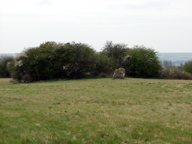
Hawk Stone

The Hawk Stone is a neolithic standing stone just north of the hamlet of Dean, Oxfordshire, England on Diddly Squat Farm belonging to Jeremy Clarkson....

Lyneham Longbarrow

Lyneham Longbarrow (grid reference SP297210) is a long barrow near Lyneham, Oxfordshire. It is beside the A361 road, between Shipton-under-Wychwood and...

Related Videos

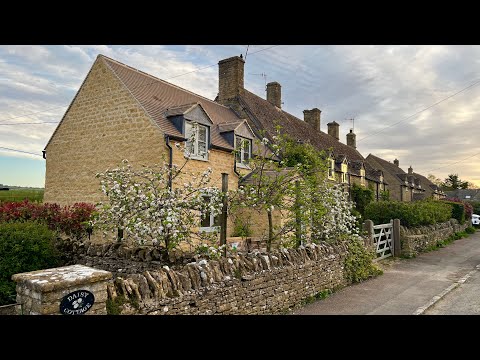
WALK into Spring: Exploring Ascott-under-Wychwood's Blossoming Beauty - ENGLAND

Ascott-under-Wychwood is a picturesque village nestled in the Oxfordshire Cotswolds, England. Its name reflects the village's ...

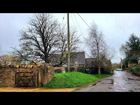
Relaxing Rain Walk In The English Countryside || Chilson, Oxfordshire

Walking Chilson country paths and road with umbrella in the heavy rain - wet & windy UK weather. 1 day after storm Eunice.

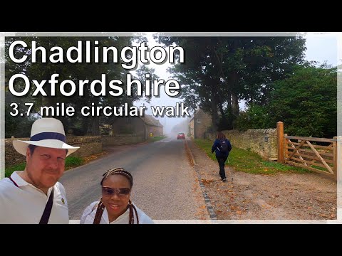
Oxfordshire 3.7 mile circular walk: Chadlington

Chadlington - 3.7 mile circular walk Guided Walk: ...

Nearby Amenities

Located within 500m of 51.890176,-1.53062
Brookend
Place: neighbourhood
Source: OS_OpenData_StreetView
Lat/Long: 51.8933235/-1.5287794
Greenend
Place: neighbourhood
Source: OS_OpenData_StreetView
Lat/Long: 51.8907711/-1.5309381
Barrier: stile
Lat/Long: 51.8920601/-1.5276485
Addr Housename: Boot Cottage
Lat/Long: 51.8921939/-1.5277344
Addr Housename: The Willows
Lat/Long: 51.8926574/-1.5285565
Addr Housename: Brookside Cottage
Lat/Long: 51.8926698/-1.5278403
Addr Housename: Little Brook
Lat/Long: 51.8926339/-1.5275537
Addr Housename: Rose Cottage
Lat/Long: 51.8934685/-1.5280083
Addr Housename: Millbrook
Lat/Long: 51.8933455/-1.5280246
Addr Housename: Lower Court Cottage
Lat/Long: 51.8888745/-1.529445
Addr Housename: Alfies Cottage
Lat/Long: 51.8887937/-1.529385
Addr Housename: Old Forge
Lat/Long: 51.8892757/-1.5297778
Addr Housename: West Bridge Cottage
Lat/Long: 51.8893822/-1.5298671
Addr Housename: Greywalls
Lat/Long: 51.8905989/-1.5319689
Addr Housename: Wheelwrights
Lat/Long: 51.8907496/-1.5317356
Addr Housename: Jasmine Cottage
Lat/Long: 51.8909017/-1.531258
Addr Housename: Laburnum Cottage
Lat/Long: 51.8909683/-1.5311659
Addr Housename: Peartree Cottage
Lat/Long: 51.8910307/-1.5310509
Addr Housename: Aran
Lat/Long: 51.8911395/-1.530849
Addr Housename: Safama
Lat/Long: 51.891321/-1.5307439
Addr Housenumber: 1
Lat/Long: 51.8917733/-1.5306508
Addr Housename: Rill Cottage
Lat/Long: 51.8917088/-1.530742
Addr Housenumber: 42
Lat/Long: 51.8916574/-1.5307876
The data included in this document is from www.openstreetmap.org. The data is made available under ODbL.

Have you been to Greenend?

Leave your review of Greenend below (or comments, questions and feedback).