Greenend

Settlement in Lanarkshire

Scotland

Greenend

Baxter's bus at Coatbridge Fountain – 1970 This view shows the fountain (in part) in its original position close to the railway bridge. It was erected in commemoration of Alexander Whitelaw, who in 1872 organised the relocation of the railway line away from the main street to create a civic space. It has since been relocated further east <a title="https://www.geograph.org.uk/photo/4681741" href="https://www.geograph.org.uk/photo/4681741">Link</a> to improve the road junction. It is Listed grade C.

The bridge <a title="https://www.geograph.org.uk/photo/1811955" href="https://www.geograph.org.uk/photo/1811955">Link</a> was erected as part of the relocation of the railway and is also Listed, Grade B.

Baxter's buses of Airdrie ran local services in the Airdrie and Coatbridge area, and were an independent family firm until 1962 when they were bought by major operator Eastern Scottish. After an initial period of integration, Eastern Scottish reverted to the Baxter's identity, which clearly had significant local goodwill. No.114 is an AEC Reliance with Burlingham bodywork new to Baxter's in 1959. It is working the local service into Coatbridge from the Townhead area.

This is one of a series of views featuring buses in the 60s, 70s, and 80s. <a title="https://www.geograph.org.uk/search.php?i=137652761" href="https://www.geograph.org.uk/search.php?i=137652761">Link</a>
Baxter's bus at Coatbridge Fountain – 1970 Credit: Alan Murray-Rust

Greenend is a small village located in the county of Lanarkshire, Scotland. Situated approximately 15 miles southeast of the city of Glasgow, it lies within the larger administrative district of South Lanarkshire. Greenend is characterized by its rural setting and picturesque landscapes, surrounded by rolling hills and farmland.

The village is home to a tight-knit community, with a population of around 500 residents. Housing in Greenend mainly consists of traditional stone-built cottages and farmhouses, giving the area a charming and rustic feel. The local economy is primarily driven by agriculture and farming, with many residents engaged in these industries.

Greenend benefits from its proximity to the larger towns and cities in the region, providing easy access to amenities and services. The village is well-connected via road networks, with the A73 passing nearby, linking it to other parts of Lanarkshire and beyond.

Nature enthusiasts and outdoor lovers are drawn to Greenend due to its beautiful landscapes and opportunities for outdoor activities. The surrounding countryside offers excellent walking and hiking trails, allowing residents and visitors to explore the natural beauty of the area. Additionally, the nearby Clyde Valley provides stunning views and recreational activities such as fishing and boating.

Overall, Greenend is a charming and peaceful village that offers a tranquil and scenic lifestyle, while still benefiting from its proximity to larger towns and cities. It is a perfect place for those seeking a close-knit community and an appreciation for nature.

If you have any feedback on the listing, please let us know in the comments section below.

Greenend Images

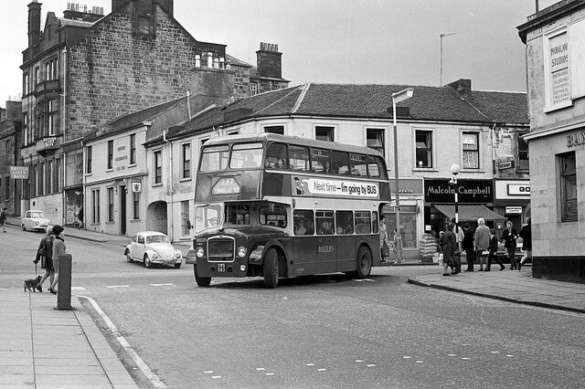
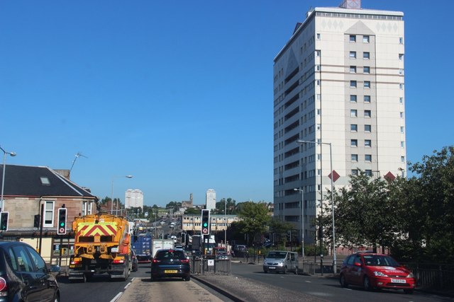
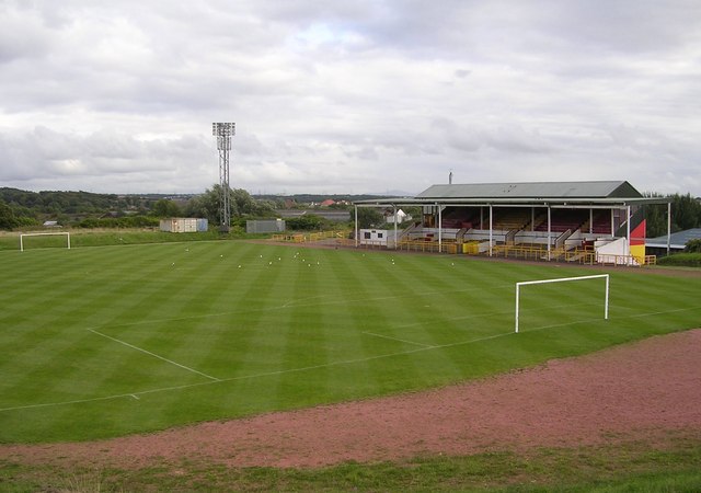
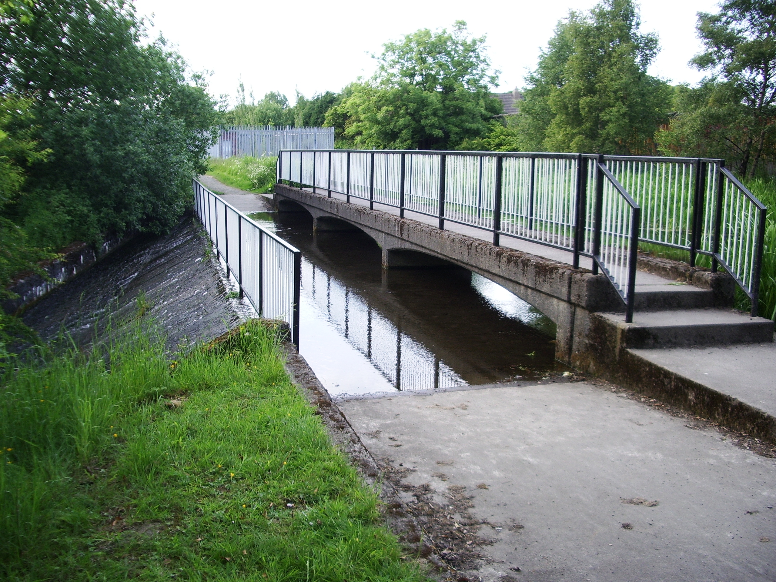
Images are sourced within 2km of 55.856219/-4.0024889 or Grid Reference NS7464. Thanks to Geograph Open Source API. All images are credited.

Baxter's bus at Coatbridge Fountain – 1970 This view shows the fountain (in part) in its original position close to the railway bridge. It was erected in commemoration of Alexander Whitelaw, who in 1872 organised the relocation of the railway line away from the main street to create a civic space. It has since been relocated further east <a title="https://www.geograph.org.uk/photo/4681741" href="https://www.geograph.org.uk/photo/4681741">Link</a> to improve the road junction. It is Listed grade C.

The bridge <a title="https://www.geograph.org.uk/photo/1811955" href="https://www.geograph.org.uk/photo/1811955">Link</a> was erected as part of the relocation of the railway and is also Listed, Grade B.

Baxter's buses of Airdrie ran local services in the Airdrie and Coatbridge area, and were an independent family firm until 1962 when they were bought by major operator Eastern Scottish. After an initial period of integration, Eastern Scottish reverted to the Baxter's identity, which clearly had significant local goodwill. No.114 is an AEC Reliance with Burlingham bodywork new to Baxter's in 1959. It is working the local service into Coatbridge from the Townhead area.

This is one of a series of views featuring buses in the 60s, 70s, and 80s. <a title="https://www.geograph.org.uk/search.php?i=137652761" href="https://www.geograph.org.uk/search.php?i=137652761">Link</a>
Baxter's bus at Coatbridge Fountain – 1970
This view shows the fountain (in part) in its original position close to the railway bridge. It was erected in commemoration of Alexander Whitelaw, who in 1872 organised the relocation of the railway line away from the main street to create a civic space. It has since been relocated further east Link to improve the road junction. It is Listed grade C. The bridge Link was erected as part of the relocation of the railway and is also Listed, Grade B. Baxter's buses of Airdrie ran local services in the Airdrie and Coatbridge area, and were an independent family firm until 1962 when they were bought by major operator Eastern Scottish. After an initial period of integration, Eastern Scottish reverted to the Baxter's identity, which clearly had significant local goodwill. No.114 is an AEC Reliance with Burlingham bodywork new to Baxter's in 1959. It is working the local service into Coatbridge from the Townhead area. This is one of a series of views featuring buses in the 60s, 70s, and 80s. Link
Turning into Water Street, Coatbridge – 1970 Water Street has disappeared completely under a modern retail development along the south side of Main Street. The building behind the bus has shown some interesting development in the years since, as seen in this 2018 Streetview view <span class="nowrap"><a title="https://goo.gl/maps/P8WgaoaPhnRgvwuX9" rel="nofollow ugc noopener" href="https://goo.gl/maps/P8WgaoaPhnRgvwuX9">Link</a><img style="margin-left:2px;" alt="External link" title="External link - shift click to open in new window" src="https://s1.geograph.org.uk/img/external.png" width="10" height="10"/></span> which shows that it has reverted from a painted finish to natural stonework, and more interestingly has had its chimney stacks rebuilt. The north side of Main Street comes within the Blairhill and Dunbeth Conservation Area and this is clearly the result of that.

Baxter's buses of Airdrie ran local services in the Airdrie and Coatbridge area, and were an independent family firm until 1962 when they were bought by major operator Eastern Scottish. After an initial period of integration, Eastern Scottish reverted to the Baxter's identity, which clearly had significant local goodwill. No.583 is an Eastern Scottish Bristol Lodekka, new in 1957 and later transferred to Baxter's operations complete with Baxter's livery. It is working the local service to the Townhead area.

This is one of a series of views featuring buses in the 60s, 70s, and 80s. <a title="https://www.geograph.org.uk/search.php?i=137652761" href="https://www.geograph.org.uk/search.php?i=137652761">Link</a>
Turning into Water Street, Coatbridge – 1970
Water Street has disappeared completely under a modern retail development along the south side of Main Street. The building behind the bus has shown some interesting development in the years since, as seen in this 2018 Streetview view LinkExternal link which shows that it has reverted from a painted finish to natural stonework, and more interestingly has had its chimney stacks rebuilt. The north side of Main Street comes within the Blairhill and Dunbeth Conservation Area and this is clearly the result of that. Baxter's buses of Airdrie ran local services in the Airdrie and Coatbridge area, and were an independent family firm until 1962 when they were bought by major operator Eastern Scottish. After an initial period of integration, Eastern Scottish reverted to the Baxter's identity, which clearly had significant local goodwill. No.583 is an Eastern Scottish Bristol Lodekka, new in 1957 and later transferred to Baxter's operations complete with Baxter's livery. It is working the local service to the Townhead area. This is one of a series of views featuring buses in the 60s, 70s, and 80s. Link
Baxter's bus, Deedes Street, Airdrie – 1970 A grey day in what was at the time a pretty grey area of Scotland's industrial belt. The area has since been improved with tree planting along the street.

Baxter's buses of Airdrie ran local services in the Airdrie and Coatbridge area, and were an independent family firm until 1962 when they were bought by major operator Eastern Scottish. After an initial period of integration, Eastern Scottish reverted to the Baxter's identity, which clearly had significant local goodwill. No.66 is a Leyland PD2 with Massey bodywork, new in 1957.

This is one of a series of views featuring buses in the 60s, 70s, and 80s. <a title="https://www.geograph.org.uk/search.php?i=137652761" href="https://www.geograph.org.uk/search.php?i=137652761">Link</a>
Baxter's bus, Deedes Street, Airdrie – 1970
A grey day in what was at the time a pretty grey area of Scotland's industrial belt. The area has since been improved with tree planting along the street. Baxter's buses of Airdrie ran local services in the Airdrie and Coatbridge area, and were an independent family firm until 1962 when they were bought by major operator Eastern Scottish. After an initial period of integration, Eastern Scottish reverted to the Baxter's identity, which clearly had significant local goodwill. No.66 is a Leyland PD2 with Massey bodywork, new in 1957. This is one of a series of views featuring buses in the 60s, 70s, and 80s. Link
Works entrance SGN (Scottish Gas Network) Coatbridge
Works entrance
SGN (Scottish Gas Network) Coatbridge
Chisholm Street Typical inter war council housing
Chisholm Street
Typical inter war council housing
Footpath off William Street, Whifflet Providing access to housing.
Footpath off William Street, Whifflet
Providing access to housing.
Eastern part of William Street, Whifflet
Footpath to Calder Street, Whifflet Off Helve Place.
Footpath to Calder Street, Whifflet
Off Helve Place.
Helve Place, Whifflet Off Forgehill Crescent.
Helve Place, Whifflet
Off Forgehill Crescent.
Western part of Forgehill Crescent, Whifflet Seen from its junction with Castings Avenue.
Western part of Forgehill Crescent, Whifflet
Seen from its junction with Castings Avenue.
Castings Avenue, Whifflet Seen from its junction with Forgehill Crescent.
Castings Avenue, Whifflet
Seen from its junction with Forgehill Crescent.
Pritchel Way, Whifflet Seen from its rather complicated junction with Forgehill Crescent, Castings Avenue, and Bessemer Drive.
Pritchel Way, Whifflet
Seen from its rather complicated junction with Forgehill Crescent, Castings Avenue, and Bessemer Drive.
Northern part of William Street, Whifflet
Northern part of Robert Gilson Gardens, Whifflet Off William Street.
Northern part of Robert Gilson Gardens, Whifflet
Off William Street.
Easton Place, Whifflet A very short section of dual carriageway with the traffic moving on the wrong side. Looking towards Whifflet Street from Whifflet railway station car park.
Easton Place, Whifflet
A very short section of dual carriageway with the traffic moving on the wrong side. Looking towards Whifflet Street from Whifflet railway station car park.
Whifflet Community Centre Marked as "temporarily closed" on Google Maps at time of submission, but looking semi derelict and lacking a sign. The addition to the left has a sign for Helping Hands Soup Kitchen, so may still be in use.
Whifflet Community Centre
Marked as "temporarily closed" on Google Maps at time of submission, but looking semi derelict and lacking a sign. The addition to the left has a sign for Helping Hands Soup Kitchen, so may still be in use.
 MacKinnon Mills   
  Outlet village featuring Peacocks, Bon Marché and other traders.
MacKinnon Mills
Outlet village featuring Peacocks, Bon Marché and other traders.
Whifflet, B753 meets the A725
Show me another place!

Greenend is located at Grid Ref: NS7464 (Lat: 55.856219, Lng: -4.0024889)

Unitary Authority: North Lanarkshire

Police Authority: Lanarkshire

What 3 Words

///drum.drive.knots. Near Coatbridge, North Lanarkshire

Nearby Locations

Coatdyke Whifflet Greenend

Related Wikis

Calder railway station

Calder railway station served the town of Coatbridge, North Lanarkshire, Scotland from 1886 to 1943 on the Rutherglen and Coatbridge Railway. == History... ==

Cliftonhill

Cliftonhill Stadium, commonly known as Cliftonhill and currently 'The Reigart Stadium' for sponsorship purposes, is a football stadium in Coatbridge, North...

Monkland Canal

The Monkland Canal was a 12+1⁄4-mile-long (19.7 km) canal designed to bring coal from the mining areas of Monklands to Glasgow in Scotland. In the course...

Meadow Park, Coatbridge

Meadow Park was a football ground in the Whifflet area of Coatbridge, Scotland. It was the home ground of Albion Rovers from 1882 until 1919. == History... ==

Nearby Amenities

Located within 500m of 55.856219,-4.0024889
Greenend
Is In: North Lanarkshire
Place: neighbourhood
Postal Code: ML5 4
Lat/Long: 55.8545389/-4.0057801
Sikeside
Is In: Coatbridge, North Lanarkshire
Place: neighbourhood
Postal Code: ML5 4
Lat/Long: 55.8523758/-3.9995002
Coatdyke
Is In: Coatbridge, North Lanarkshire, Scotland, UK
Place: neighbourhood
Lat/Long: 55.8605619/-4.0030255
Calder
Historic Railway: station
Railway: site
Wikidata: Q101003869
Wikipedia: en:Calder railway station
Lat/Long: 55.8569251/-4.0077809
Crossing
Lat/Long: 55.8556671/-4.0071515
Mini Roundabout
Direction: clockwise
Lat/Long: 55.8581572/-4.0039655
Parking
Fee: no
Lit: yes
Wheelchair: yes
Lat/Long: 55.8532229/-3.9974217
Post Box
Collection Times: Mo-Fr 09:00; Sa 07:00
Operator: Royal Mail
Post Box Type: pillar
Ref: ML5 45D
Royal Cypher: scottish_crown
Lat/Long: 55.853792/-3.9991079
Sheepford
Is In: Coatbridge, North Lanarkshire
Note: the bridge here over locks street has also this name
Place: neighbourhood
Source: local_knowledge
Lat/Long: 55.8575847/-4.005855
Turning Circle
Lat/Long: 55.85657/-4.0077593
Parking
Fee: no
Lit: yes
Wheelchair: yes
Lat/Long: 55.8552826/-4.0011554
Parking
Fee: no
Lit: yes
Wheelchair: yes
Lat/Long: 55.8565737/-4.000177
Crossing
Crossing: unmarked
Crossing Island: no
Tactile Paving: no
Lat/Long: 55.8580485/-4.0039507
Craigmar
Addr City: Coatbridge
Addr Housenumber: 2
Addr Postcode: ML5 3RT
Addr Street: Lock Street
Source: survey
Lat/Long: 55.8602859/-4.0046353
Grants
Addr Street: Lock Street
Operator: Grants
Shop: doityourself
Source: survey
Wheelchair: yes
Lat/Long: 55.8577675/-4.0034815
Parking
Fee: no
Lit: yes
Source: survey
Wheelchair: yes
Lat/Long: 55.859772/-4.006241
Claire's
Addr City: Coatbridge
Addr Housenumber: 155C
Addr Postcode: ML5 4QR
Addr Street: Calder Street
Shop: hairdresser
Source: survey
Lat/Long: 55.8558937/-4.0073678
Fast Food
Jasmine House
Addr Housenumber: 157
Addr Postcode: ML5 4QR
Addr Street: Calder Street
Cuisine: chinese
Source: Survey
Lat/Long: 55.8558896/-4.0071796
Atm
Fee: £1.50
Source: Survey
Lat/Long: 55.8558489/-4.0068739
Atm
Fee: no
Source: Survey
Lat/Long: 55.8539174/-3.999272
Fast Food
Atlantic Fast Food
Addr City: Coatbridge
Addr Housenumber: 155A
Addr Postcode: ML5 4QR
Addr Street: Calder Street
Cuisine: fish_and_chips
Note: Awarded Best in Scotland 2009
Source: survey
Website: https://www.atlanticfastfood.co.uk/
Wheelchair: no
Lat/Long: 55.8557012/-4.0073041
Fast Food
Sizzlers Tandoori Take Away
Addr Housenumber: 155
Addr Postcode: ML5 4QR
Addr Street: Calder Street
Cuisine: indian
Source: Survey
Lat/Long: 55.8555504/-4.007827
Calder Stores
Addr City: Coatbridge
Addr Housenumber: 159-161
Addr Postcode: ML5 4QR
Addr Street: Calder Street
Shop: convenience
Source: survey
Wheelchair: yes
Lat/Long: 55.8558169/-4.0069044
Ncn Milepost: mccoll
Note: Milepost type needs confirming
Source: survey
Sustrans Ref: MP111
Lat/Long: 55.8574203/-4.0028646
Man Made: speed_camera
Lat/Long: 55.8550275/-4.0093779
Ncn Milepost: mccoll
Note: on viaduct
Sustrans Ref: MP611
Lat/Long: 55.8576729/-4.0005295
Tesco Express
Brand: Tesco Express
Brand Wikidata: Q98456772
Brand Wikipedia: en:Tesco
Contact Website: https://www.tesco.com/store-locator/coatbridge/1-lorne-place
Fhrs Id: 800611
Shop: convenience
Lat/Long: 55.8524301/-3.9983947
Barnardo's
Brand: Barnardo's
Brand Wikidata: Q2884670
Brand Wikipedia: en:Barnardo's
Shop: charity
Lat/Long: 55.852374/-3.9988984
Dentist
Carnbroe Dental Surgery
Contact Facebook: https://www.facebook.com/monklandsdentalcare
Contact Instagram: https://www.instagram.com/monklands_dental_care/
Email: info@monklandsdental.co.uk
Healthcare: dentist
Phone: +44 1236 428040
Website: https://monklandsdental.co.uk/
Lat/Long: 55.852377/-3.9987923
Pharmacy
Mint Pharmacy
Dispensing: yes
Healthcare: pharmacy
Lat/Long: 55.852378/-3.9986879
Bus Stop
Coatbridge, Paddock Street opp Laxford Street
Bus: yes
Departures Board: timetable
Naptan AtcoCode: 61601743
Naptan NaptanCode: 65237435
Public Transport: platform
Shelter: no
Lat/Long: 55.8520948/-4.0014537
Bus Stop
Coatbridge, St Stephen's Church
Bus: yes
Departures Board: timetable
Naptan AtcoCode: 6160907
Naptan NaptanCode: 65232643
Public Transport: platform
Shelter: yes
Lat/Long: 55.8521803/-4.0016233
Bus Stop
Coatbridge, Sikeside Street after Arran Avenue
Bus: yes
Departures Board: timetable
Naptan AtcoCode: 6160905
Naptan NaptanCode: 65232729
Public Transport: platform
Shelter: yes
Lat/Long: 55.8530477/-3.9982929
Bus Stop
Coatbridge, Sikeside Street opp Arran Avenue
Bus: yes
Departures Board: timetable
Naptan AtcoCode: 6160906
Naptan NaptanCode: 65235475
Public Transport: platform
Shelter: no
Lat/Long: 55.8529238/-3.9977946
Bus Stop
Coatbridge, Sikeside Street at St Stephens Primary School
Bus: yes
Departures Board: timetable
Naptan AtcoCode: 6160904
Naptan NaptanCode: 65234787
Public Transport: platform
Shelter: no
Lat/Long: 55.8547411/-4.0005552
Bus Stop
Coatbridge, Sikeside Street beforeShiel Place
Bus: yes
Departures Board: timetable
Naptan AtcoCode: 61601740
Naptan NaptanCode: 65237464
Public Transport: platform
Shelter: no
Lat/Long: 55.8560468/-4.0019314
Bus Stop
Coatbridge, SIkeside Street opp Shiel Place
Bus: yes
Departures Board: timetable
Naptan AtcoCode: 6160903
Naptan NaptanCode: 65234658
Public Transport: platform
Shelter: no
Lat/Long: 55.8558492/-4.0018327
Bus Stop
Coatbridge, Calder Street after John Smith Gardens
Bus: yes
Departures Board: timetable
Naptan AtcoCode: 6160902
Naptan NaptanCode: 65234874
Public Transport: platform
Shelter: no
Lat/Long: 55.8561182/-4.0054719
Bus Stop
Coatbridge, Calder Street after Kelvin Street
Bus: yes
Departures Board: timetable
Naptan AtcoCode: 61601724
Naptan NaptanCode: 65237452
Public Transport: platform
Shelter: no
Lat/Long: 55.8561015/-4.0059506
Bus Stop
Coatbridge, Calder Street after Southfield Crescent
Bus: yes
Departures Board: timetable
Naptan AtcoCode: 6160901
Naptan NaptanCode: 65235393
Public Transport: platform
Shelter: no
Lat/Long: 55.8551963/-4.0088903
Bus Stop
Coatbridge, Calder Street before Southfield Crescent
Bus: yes
Departures Board: timetable
Naptan AtcoCode: 61601692
Naptan NaptanCode: 65279687
Public Transport: platform
Shelter: no
Lat/Long: 55.8552431/-4.0083919
Speed Camera
Lat/Long: 55.8552262/-4.0086132
Car Rental
KMC Vehicle Retal
Addr City: Coatbridge
Addr Housenumber: 36
Addr Street: Locks Street
Lat/Long: 55.8598503/-4.004655
Crossing
Crossing: unmarked
Crossing Markings: no
Kerb: flush
Tactile Paving: no
Lat/Long: 55.8519499/-4.0034766
Crossing
Crossing: unmarked
Crossing Markings: no
Kerb: flush
Tactile Paving: no
Lat/Long: 55.8519884/-4.0034054
The data included in this document is from www.openstreetmap.org. The data is made available under ODbL.

Have you been to Greenend?

Leave your review of Greenend below (or comments, questions and feedback).