Brookend

Settlement in Gloucestershire Forest of Dean

England

Brookend

Footpath beside Cone Brook
Footpath beside Cone Brook Credit: JThomas

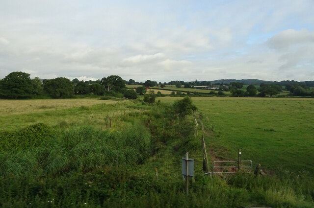
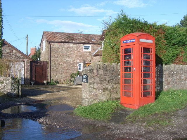
Brookend is a quaint village located in the county of Gloucestershire, England. Situated just four miles southwest of the bustling town of Gloucester, Brookend offers a peaceful and idyllic setting for its residents. The village is nestled in the beautiful countryside, surrounded by rolling hills and lush green fields.

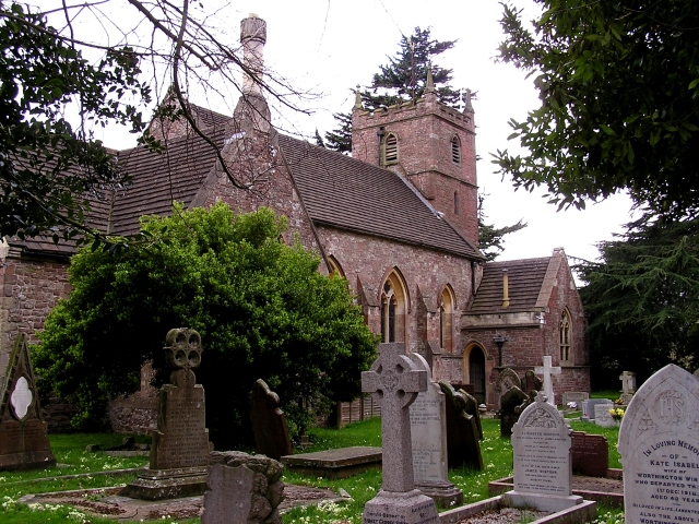
Despite its small size, Brookend boasts a strong sense of community and a friendly atmosphere. The village is home to a close-knit population of around 300 residents. The village center features a charming parish church, St. Mary's, which dates back to the 12th century and serves as a focal point for the community.

The landscape around Brookend is dotted with picturesque cottages and traditional English houses, adding to the village's charm. Many of the properties provide stunning views of the surrounding countryside, making it an ideal location for nature lovers and those seeking a peaceful retreat.

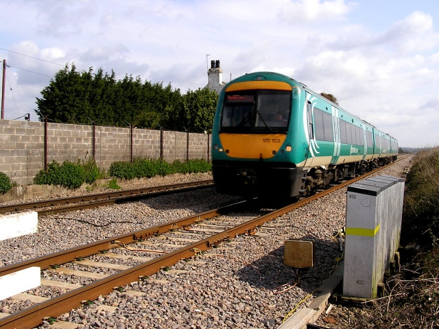
While Brookend offers a tranquil lifestyle, it benefits from its close proximity to Gloucester. Residents have easy access to a range of amenities, including shops, supermarkets, schools, and healthcare facilities. The village is well-connected to the wider region through a network of roads, making it convenient for commuters and those looking to explore the nearby attractions.

Overall, Brookend is a delightful village that combines the serenity of rural living with easy access to urban conveniences. With its scenic beauty and strong community spirit, it is no wonder that Brookend is highly regarded as a desirable place to live in Gloucestershire.

If you have any feedback on the listing, please let us know in the comments section below.
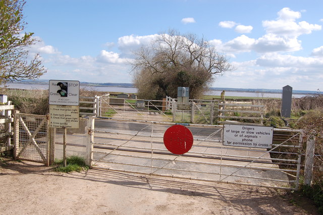
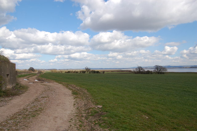
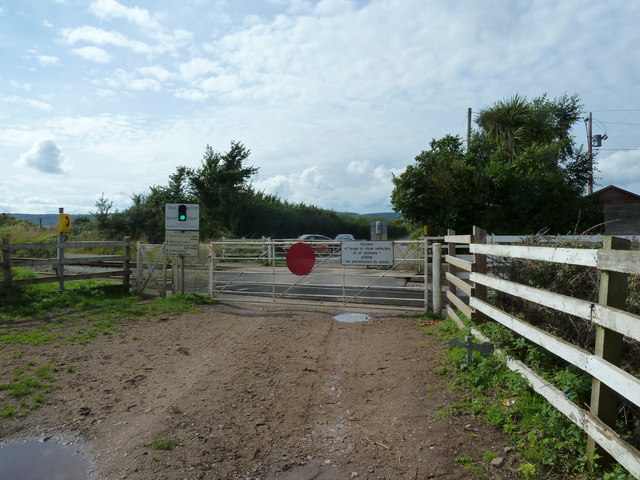
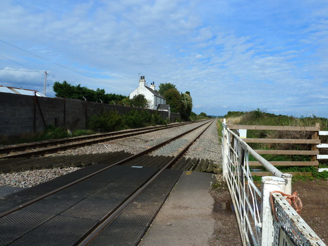
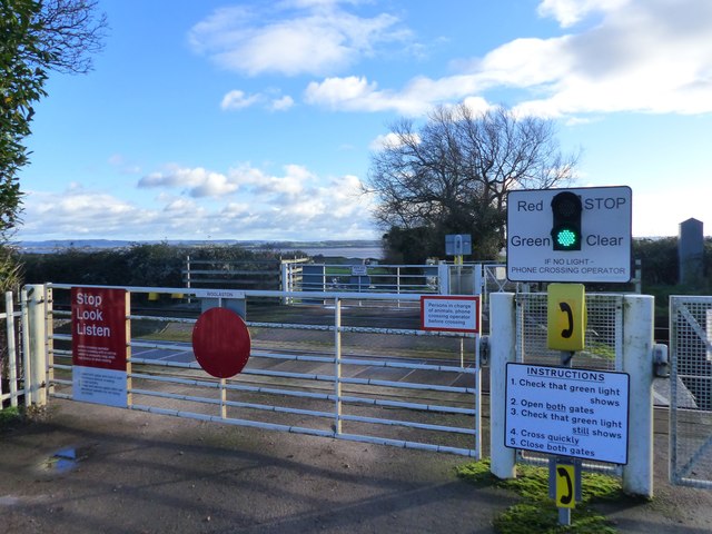
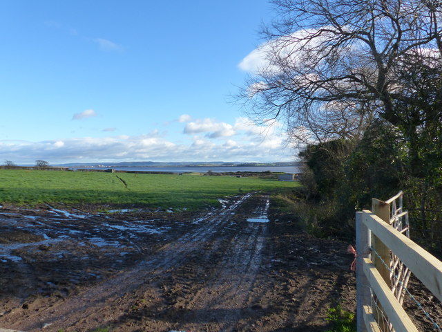
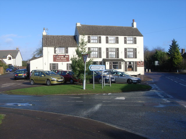
Brookend Images

Images are sourced within 2km of 51.693625/-2.589535 or Grid Reference ST5999. Thanks to Geograph Open Source API. All images are credited.

Footpath beside Cone Brook
Gloucester to Chepstow Railway Line This square is mostly flat farmland by the Severn with a railway running through it. There used to be a station here, nr Alvington but I've yet to get the identity of it.
Gloucester to Chepstow Railway Line
This square is mostly flat farmland by the Severn with a railway running through it. There used to be a station here, nr Alvington but I've yet to get the identity of it.
The River Severn This square is 80% River. The building at the top is Oldbury Nuclear Power Station.
The River Severn
This square is 80% River. The building at the top is Oldbury Nuclear Power Station.
Pillbox near Plusterwine on river Severn This is the middle pillbox in a line of three along the Gloucester-Chepstow railway line near the level crossing south-east of Plusterwine. All three pillboxes are pre-fabricated type 26s built in 1940. The railway at this point is only a few hundred yards from the river Severn. The entrances to the pillboxes indicate that the would-be attacker was approaching from across the river Severn. A number of anti-tank vertical rails remain in the hedgerow bordering the railway line on its eastern flank.
Pillbox near Plusterwine on river Severn
This is the middle pillbox in a line of three along the Gloucester-Chepstow railway line near the level crossing south-east of Plusterwine. All three pillboxes are pre-fabricated type 26s built in 1940. The railway at this point is only a few hundred yards from the river Severn. The entrances to the pillboxes indicate that the would-be attacker was approaching from across the river Severn. A number of anti-tank vertical rails remain in the hedgerow bordering the railway line on its eastern flank.
Pedestrian railway crossing near Plusterwine This is a view looking north-west over the Gloucester-Chepstow railway line near Plusterwine in a location close to the river Severn. The railway boundary fence in the foreground (nearest the river) incorporates a number of WW2 anti-tank vertical rails but a gap here permitted access for the footpath.
Pedestrian railway crossing near Plusterwine
This is a view looking north-west over the Gloucester-Chepstow railway line near Plusterwine in a location close to the river Severn. The railway boundary fence in the foreground (nearest the river) incorporates a number of WW2 anti-tank vertical rails but a gap here permitted access for the footpath.
Woolaston level crossing This unmanned level crossing is to be found on the Gloucester-Chepstow line. The view here is to the south-east with the river Severn in the background.
Woolaston level crossing
This unmanned level crossing is to be found on the Gloucester-Chepstow line. The view here is to the south-east with the river Severn in the background.
The flood plain of the river Severn near Plusterwine View looks north-east towards Lydney with the Gloucester-Chepstow railway line in the top left. Berkeley nuclear power station is just visible on the far bank of the Severn. A WW2 pillbox adjoining the railway line commands the fields on this stretch of the river.
The flood plain of the river Severn near Plusterwine
View looks north-east towards Lydney with the Gloucester-Chepstow railway line in the top left. Berkeley nuclear power station is just visible on the far bank of the Severn. A WW2 pillbox adjoining the railway line commands the fields on this stretch of the river.
Woolaston level crossing from the far side
The railway line at Woolaston level crossing
Field edge view at Woolaston Triangulation Pillar Looking north-westward.
Field edge view at Woolaston Triangulation Pillar
Looking north-westward.
Severn Estuary at low tide The main channel of the Severn River hugs the west bank near Woolaston.  Oldbury Nuclear Power Station on the east bank in the distance.
Severn Estuary at low tide
The main channel of the Severn River hugs the west bank near Woolaston. Oldbury Nuclear Power Station on the east bank in the distance.
Clear instructions at Woolaston Level Crossing This is a user-operated gate for both farm vehicles and pedestrians.  The road ends at the crossing.
Clear instructions at Woolaston Level Crossing
This is a user-operated gate for both farm vehicles and pedestrians. The road ends at the crossing.
Farm track, field boundary, and a view of the River Severn, Woolaston
Alvington Church Built using local red sandstone.
Alvington Church
Built using local red sandstone.
The Globe Inn This is a well renowned pub, but when we went there last year, they were rude and unhelpful.  We left without eating!
The Globe Inn
This is a well renowned pub, but when we went there last year, they were rude and unhelpful. We left without eating!
Alvington Telephone Kiosk This kiosk is situated outside the Old Post Office in Alvington on the A48.
Alvington Telephone Kiosk
This kiosk is situated outside the Old Post Office in Alvington on the A48.
The Globe Inn, Alvington
St. Andrew's church, Alvington Viewed from the south-west.
St. Andrew's church, Alvington
Viewed from the south-west.
Show me another place!

Brookend is located at Grid Ref: ST5999 (Lat: 51.693625, Lng: -2.589535)

Administrative County: Gloucestershire

District: Forest of Dean

Police Authority: Gloucestershire

What 3 Words

///comedians.blaze.feelers. Near Lydney, Gloucestershire

Related Wikis

Woolaston

Woolaston is a village and civil parish in the Forest of Dean district of Gloucestershire in South West England. It lies on the north side of the Severn...

Alvington, Gloucestershire

Alvington is a village and civil parish in the Forest of Dean in Gloucestershire, England, situated on the A48 road, six miles north-east of Chepstow in...

Aylburton

Aylburton is a village and civil parish in the Forest of Dean district of Gloucestershire, England, on the A48 road about two miles south-west of Lydney...

Ridley Bottom, Tidenham

Ridley Bottom (grid reference ST563985) is a 1.1-hectare (2.7-acre) nature reserve in Gloucestershire. The site is listed in the 'Forest of Dean Local...

East Wood, Tidenham

East Wood (grid reference SO561001) (west site) and (grid reference SO563001) (east site) is a 0.82-hectare (2.0-acre) nature reserve in Gloucestershire...

Poor's Allotment

Poor's Allotment (grid reference ST560990) is a 28.57-hectare (70.6-acre) biological Site of Special Scientific Interest in Gloucestershire, notified in...

Hewelsfield

Hewelsfield is a village in Hewelsfield and Brockweir civil parish, in the Forest of Dean district of Gloucestershire, England. The village is located...

Hewelsfield Motte

The Hewelsfield Motte is a roughly circular mound, in Hewelsfield, Gloucestershire, England. It is thought to be a castle motte dating from the period...

Nearby Amenities

Located within 500m of 51.693625,-2.589535
Bus Stop
Woolaston Inn
Bench: no
Bin: no
Lit: no
Naptan AtcoCode: 1600GL5343
Naptan Bearing: SW
Naptan CommonName: Woolaston Inn
Naptan Indicator: Opp
Naptan NaptanCode: gloagdad
Naptan Street: A48 Brookend
Naptan Verified: no
Shelter: no
Source: naptan_import
Tactile Paving: no
Lat/Long: 51.694397/-2.5893354
Bus Stop
Woolaston Inn
Bench: no
Bin: no
Bus: yes
Lit: no
Naptan AtcoCode: 1600GL5344
Naptan Bearing: NE
Naptan CommonName: Woolaston Inn
Naptan NaptanCode: gloagdag
Naptan Street: A48 Brookend
Naptan Verified: no
Public Transport: platform
Shelter: no
Source: naptan_import
Tactile Paving: no
Lat/Long: 51.694965/-2.5887479
Bus Stop
Church Lane
Bench: no
Bin: no
Lit: no
Naptan AtcoCode: 1600GLF237
Naptan Bearing: SW
Naptan CommonName: Church Lane
Naptan Indicator: Opp
Naptan NaptanCode: gloagapa
Naptan Street: A48
Naptan Verified: no
Shelter: no
Source: naptan_import
Tactile Paving: no
Lat/Long: 51.6906665/-2.5944807
Bus Stop
Church Lane
Bench: no
Bin: no
Lit: no
Naptan AtcoCode: 1600GLF238
Naptan Bearing: NE
Naptan CommonName: Church Lane
Naptan NaptanCode: gloagamw
Naptan Street: A48
Naptan Verified: no
Shelter: no
Source: naptan_import
Tactile Paving: no
Lat/Long: 51.6909176/-2.5946286
Plusterwine
Place: hamlet
Source: OS 1:25k
Lat/Long: 51.6913422/-2.5838271
Post Box
Collection Times: Mo-Fr 16:00; Sa 10:00
Collection Times Checked: 2015-07-28
Operator: Royal Mail
Post Box Type: lamp
Ref: GL15 3
Royal Cypher: EIIR
Royal Cypher Wikidata: Q33102113
Lat/Long: 51.6943625/-2.5894344
Barrier: stile
Lat/Long: 51.6960565/-2.5900064
Barrier: stile
Lat/Long: 51.6963789/-2.5924394
Philip Blatchly & Son
Addr City: Woolaston
Addr Housename: Highcroft House
Addr Postcode: GL15 6PN
Addr Street: Station Road
Email: p.blatchly@btconnect.com
Phone: +44 1594529345
Lat/Long: 51.6955273/-2.585584
Noexit: yes
Lat/Long: 51.6949472/-2.5887549
Barrier: stile
Lat/Long: 51.695529/-2.5919264
The data included in this document is from www.openstreetmap.org. The data is made available under ODbL.

Have you been to Brookend?

Leave your review of Brookend below (or comments, questions and feedback).