Brookfield

Settlement in Renfrewshire

Scotland

Brookfield

JL. Smith Construction, Kilbarchan Road
JL. Smith Construction, Kilbarchan Road Credit: Alex McGregor

Brookfield is a small suburban area located in the council area of Renfrewshire, Scotland. Situated approximately 7 miles west of Glasgow, this residential community offers a peaceful escape from the bustling city life while still providing easy access to its amenities.

The area is primarily made up of well-maintained housing estates, with a mix of detached and semi-detached houses, as well as some apartment buildings. The properties are often surrounded by green spaces and gardens, creating a pleasant environment for residents. Additionally, there are several local parks and playgrounds where families can enjoy outdoor activities.

Brookfield benefits from its close proximity to the nearby towns of Barrhead and Paisley, both of which offer a wide range of shops, restaurants, and leisure facilities. Residents also have convenient access to the Silverburn Shopping Centre, one of the largest retail centers in the Glasgow area.

Transportation links in Brookfield are excellent, with regular bus services connecting the area to surrounding towns and cities. The nearby M77 motorway provides quick access to Glasgow, making it an ideal location for commuters. Glasgow International Airport is also just a short drive away, making travel by air convenient for residents.

Overall, Brookfield offers a peaceful and family-friendly atmosphere, with a range of amenities and excellent transport links. It provides a perfect balance between suburban living and easy access to nearby urban areas, making it an attractive place to live for individuals and families alike.

If you have any feedback on the listing, please let us know in the comments section below.
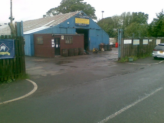
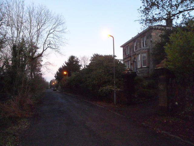
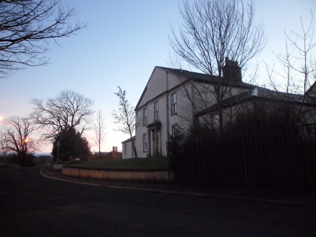
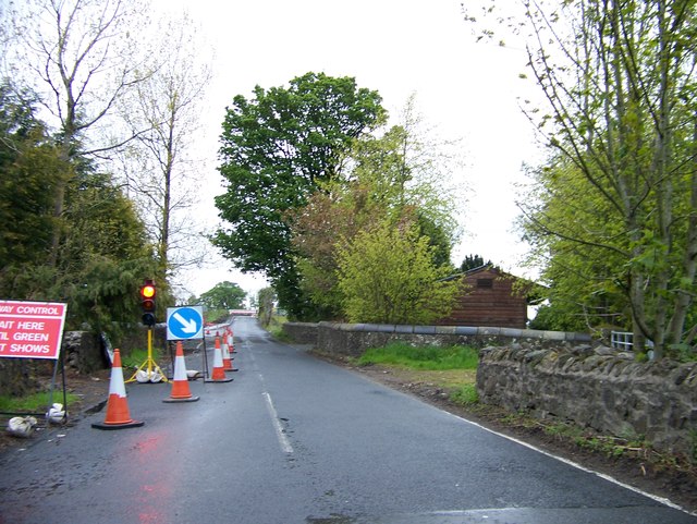
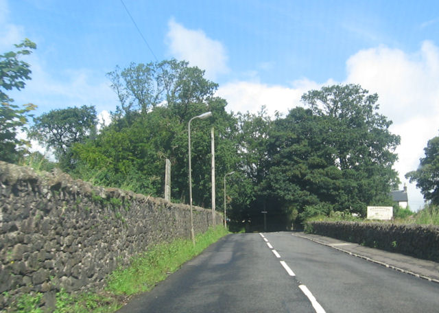
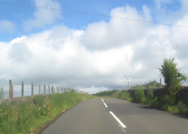
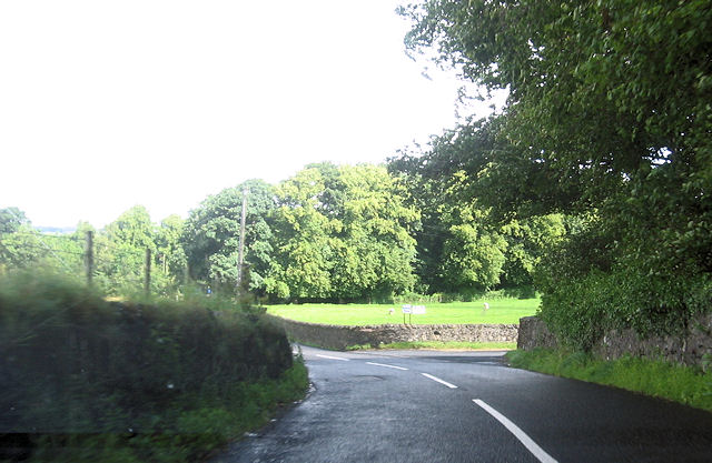
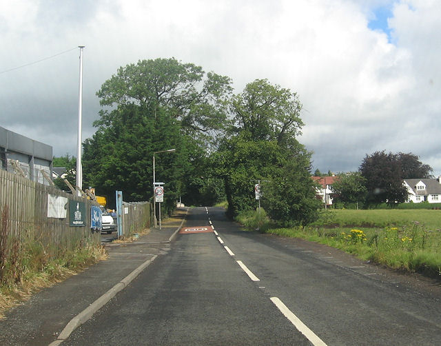
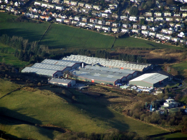
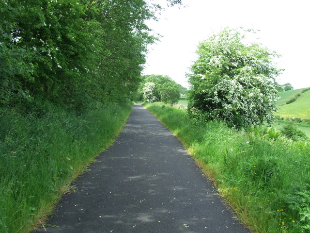
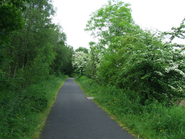
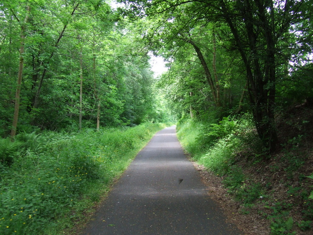
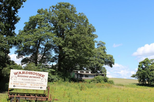
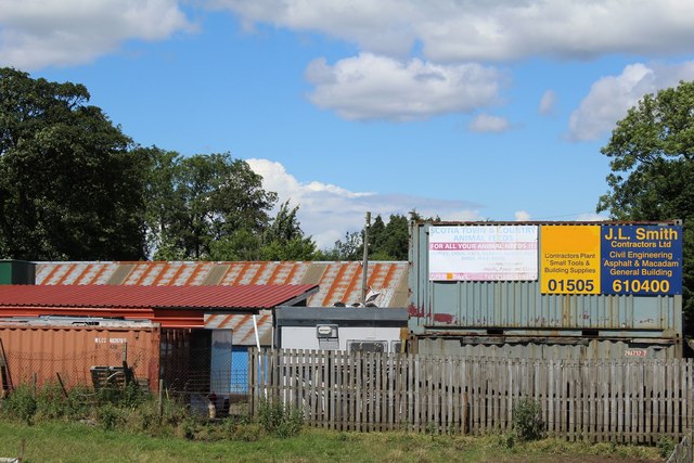
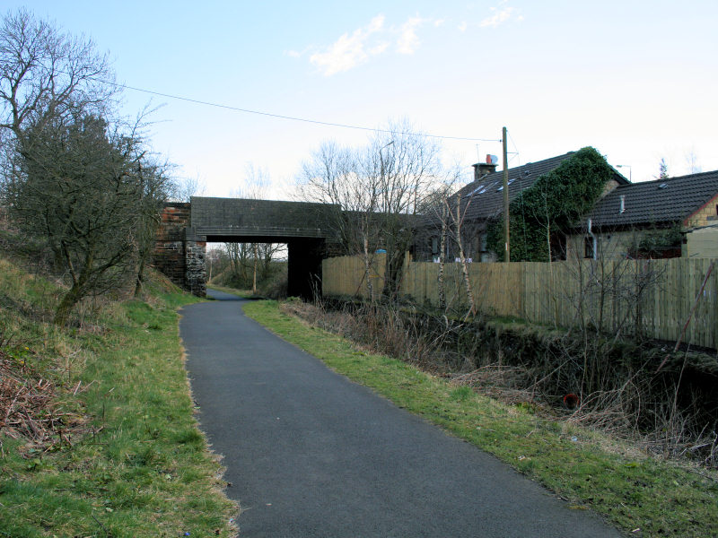
Brookfield Images

Images are sourced within 2km of 55.847861/-4.5367397 or Grid Reference NS4164. Thanks to Geograph Open Source API. All images are credited.

JL. Smith Construction, Kilbarchan Road
Bankend, Bridge of Weir
House on Kilbarchan Road On the outskirts of Bridge of Weir.
House on Kilbarchan Road
On the outskirts of Bridge of Weir.
Road works on Kilbarchan Road approaching Bridge of Weir
Locher Road at Forehouse Ward House riding stables to the right
Locher Road at Forehouse
Ward House riding stables to the right
Approaching sharp bend in Locher Road
Road junction to Pannell Farm
Kilbarchan Road entering Bridge of Weir
Bridge of Weir Leather tannery NCT's Locher Works, viewed shortly after take-off from Glasgow <span class="nowrap"><a title="http://www.bowleather.co.uk/bow/Home_2010.aspx" rel="nofollow ugc noopener" href="http://www.bowleather.co.uk/bow/Home_2010.aspx">Link</a><img style="margin-left:2px;" alt="External link" title="External link - shift click to open in new window" src="https://s1.geograph.org.uk/img/external.png" width="10" height="10"/></span> .
Bridge of Weir Leather tannery
NCT's Locher Works, viewed shortly after take-off from Glasgow LinkExternal link .
National Cycle Network Route 75 Between Crosslee Road and Bridge of Weir.
National Cycle Network Route 75
Between Crosslee Road and Bridge of Weir.
National Cycle Network Route 75 Heading west towards Bridge of Weir.
National Cycle Network Route 75
Heading west towards Bridge of Weir.
National Cycle Network Route 75 Heading west towards Bridge of Weir.
National Cycle Network Route 75
Heading west towards Bridge of Weir.
National Cycle Network Route 75 A shady spot alongside the A761 road, the footbridge opposite St Mary's Scottish Episcopal Church can be seen in the distance.
National Cycle Network Route 75
A shady spot alongside the A761 road, the footbridge opposite St Mary's Scottish Episcopal Church can be seen in the distance.
National Cycle Network Route 75 A shady spot alongside the A761 road, this is the footbridge opposite St Mary's Scottish Episcopal Church, looking west.
National Cycle Network Route 75
A shady spot alongside the A761 road, this is the footbridge opposite St Mary's Scottish Episcopal Church, looking west.
National Cycle Network Route 75 A shady spot alongside the A761 road, this is the footbridge opposite St Mary's Scottish Episcopal Church, looking east.
National Cycle Network Route 75
A shady spot alongside the A761 road, this is the footbridge opposite St Mary's Scottish Episcopal Church, looking east.
National Cycle Network Route 75 One of several "Sustrans 1989 Ltd" marks on the bridge opposite St Mary's Scottish Episcopal Church. 

See also <a href="https://www.geograph.org.uk/photo/3526187">NS3965 : National Cycle Network Route 75</a> & <a href="https://www.geograph.org.uk/photo/3526190">NS3965 : National Cycle Network Route 75</a>.
National Cycle Network Route 75
One of several "Sustrans 1989 Ltd" marks on the bridge opposite St Mary's Scottish Episcopal Church. See also NS3965 : National Cycle Network Route 75 & NS3965 : National Cycle Network Route 75.
Sign for Wardhouse Riding School by Locher Road At the junction with Forehouse Road
Sign for Wardhouse Riding School by Locher Road
At the junction with Forehouse Road
J L Smith Contractors Ltd, Bridge of Weir Business premises on Kilbarchan Road
J L Smith Contractors Ltd, Bridge of Weir
Business premises on Kilbarchan Road
Show me another place!

Brookfield is located at Grid Ref: NS4164 (Lat: 55.847861, Lng: -4.5367397)

Unitary Authority: Renfrewshire

Police Authority: Renfrewshire and Inverclyde

What 3 Words

///vaulting.eating.curries. Near Kilbarchan, Renfrewshire

Nearby Locations

Brookfield

Related Wikis

Brookfield, Renfrewshire

Brookfield is a small dormitory village in west central Renfrewshire, Scotland. It lies on the north of the A761 road, which runs through a number of towns...

Houston railway station (Scotland)

Houston railway station was a railway station serving the villages of Brookfield and Houston, Renfrewshire, Scotland, originally as part of the Bridge...

Merchiston Hospital

Merchiston Hospital was a mental health facility on Barochan Road in Brookfield, Renfrewshire, Scotland. It was managed by NHS Greater Glasgow and Clyde...

Crosslee

Crosslee is a small village lying on the bank of the River Gryffe in the civil parish of Houston and Killellan, Renfrewshire, in Scotland. It lies around...

Newfield Park, Johnstone

Newfield Park was a football ground in Johnstone, Scotland. It was the home ground of Johnstone F.C. from 1894 until the club folded in 1927. == History... ==

St. Benedict's High School

St Benedict's High School is a Catholic high school in Linwood, Renfrewshire, in the west of Scotland. == The school == St Benedict's High School was formed...

Craigends

Craigends is a residential area in the civil parish of Houston and Killellan in Renfrewshire, Scotland lying south of the River Gryffe and on the banks...

Johnstone North railway station

Johnstone North railway station was a railway station serving the town of Johnstone, Renfrewshire, Scotland as part of the Dalry and North Johnstone Line...

Nearby Amenities

Located within 500m of 55.847861,-4.5367397
Brookfield
Name En: Brookfield
Name Gd: Achadh an t-Sruthain
Place: village
Wikidata: Q4974558
Wikipedia: en:Brookfield, Renfrewshire
Lat/Long: 55.8478113/-4.5289657
Noexit: yes
Lat/Long: 55.8487571/-4.5301285
Power: tower
Source: Bing
Lat/Long: 55.8515168/-4.5381629
Power: tower
Source: Bing
Lat/Long: 55.8496858/-4.5420909
Power: pole
Lat/Long: 55.8468816/-4.5443683
Power: pole
Lat/Long: 55.847333/-4.5434871
Power: pole
Lat/Long: 55.8477657/-4.5426309
Power: pole
Lat/Long: 55.848237/-4.5417226
Power: pole
Lat/Long: 55.8487083/-4.5408185
Power: pole
Lat/Long: 55.8491504/-4.5399394
Power: pole
Lat/Long: 55.8491855/-4.5398686
Power: pole
Lat/Long: 55.8496638/-4.5397811
Power: pole
Lat/Long: 55.8501386/-4.5397165
Power: pole
Lat/Long: 55.8505163/-4.5396623
Power: pole
Lat/Long: 55.8487001/-4.5388624
Power: pole
Lat/Long: 55.848237/-4.5379
Power: pole
Lat/Long: 55.84783/-4.5370396
Power: pole
Lat/Long: 55.8478043/-4.5369834
The data included in this document is from www.openstreetmap.org. The data is made available under ODbL.

Have you been to Brookfield?

Leave your review of Brookfield below (or comments, questions and feedback).