Brookend
Settlement in Gloucestershire Stroud
England
Brookend
Brookend is a small village located in the county of Gloucestershire, England. Situated in the south-western part of the county, Brookend is nestled amidst picturesque countryside, offering residents and visitors a tranquil and idyllic setting.
The village is primarily residential, with a small population of around 500 residents. The architecture in Brookend is mainly traditional, featuring charming cottages and houses made from local Cotswold stone, which adds to the village's rustic appeal.
Despite its small size, Brookend benefits from a close-knit community spirit and a range of amenities for its residents. These include a village hall, a primary school, and a local pub, providing a central hub for socializing and community gatherings.
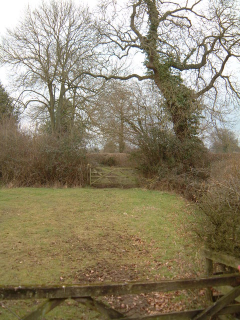
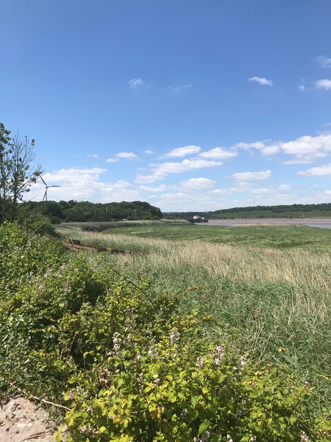
Brookend is surrounded by lush green fields and rolling hills, making it an excellent base for outdoor enthusiasts. There are numerous walking and cycling trails in the vicinity, allowing visitors to explore the stunning Gloucestershire countryside. Additionally, the village is within close proximity to the Forest of Dean, a vast woodland area known for its scenic beauty and diverse wildlife.
For those seeking a slower pace of life, Brookend offers a peaceful retreat away from the hustle and bustle of larger towns and cities. With its charming character, friendly community, and natural beauty, Brookend is a delightful village that captures the essence of rural Gloucestershire.
If you have any feedback on the listing, please let us know in the comments section below.
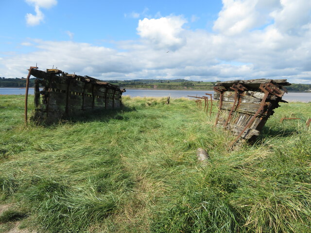
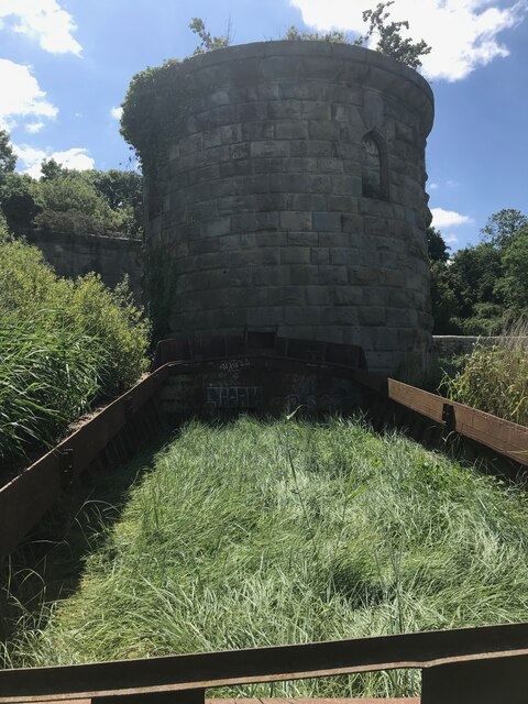
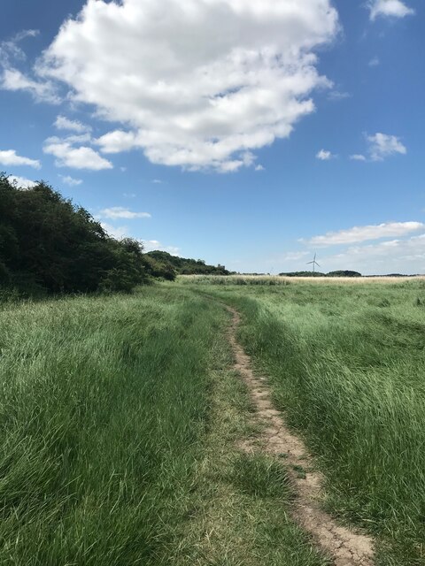
Brookend Images
Images are sourced within 2km of 51.71758/-2.46029 or Grid Reference SO6802. Thanks to Geograph Open Source API. All images are credited.


Brookend is located at Grid Ref: SO6802 (Lat: 51.71758, Lng: -2.46029)
Administrative County: Gloucestershire
District: Stroud
Police Authority: Gloucestershire
What 3 Words
///covenants.chuckle.weekends. Near Sharpness, Gloucestershire
Nearby Locations
Related Wikis

Sharpness railway station
Sharpness railway station served the village and docks of Sharpness in Gloucestershire, England from 1875 to 1964. == History == The station was on the...

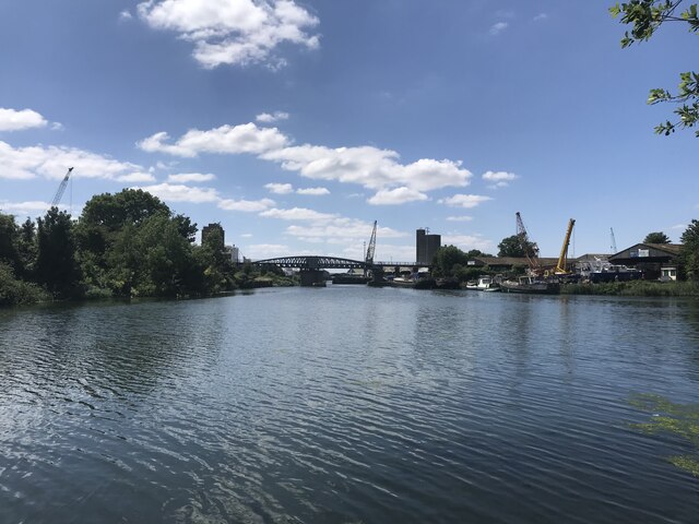
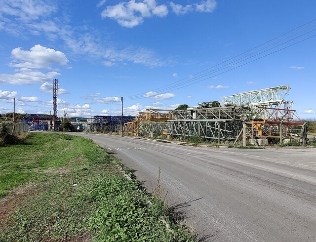
Sharpness
Sharpness ( sharp-NESS) is an English port in Gloucestershire, one of the most inland in Britain, and eighth largest in the South West England region....

Berkeley railway station
Berkeley railway station served the town of Berkeley in Gloucestershire, England. The station was on the Sharpness Branch Line, part of the Midland Railway...

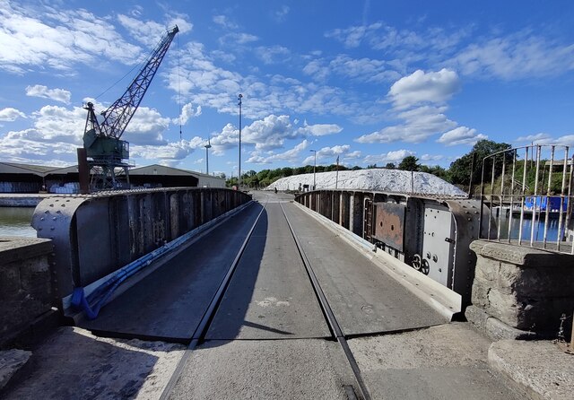
Severn Railway Bridge
The Severn Railway Bridge (historically called the Severn Bridge) was a bridge carrying the railway across the River Severn between Sharpness and Lydney...
Nearby Amenities
Located within 500m of 51.71758,-2.46029Have you been to Brookend?
Leave your review of Brookend below (or comments, questions and feedback).