Ickworth
Civil Parish in Suffolk St Edmundsbury
England
Ickworth
Ickworth is a civil parish located in the county of Suffolk, England. Situated approximately 3 miles east of the town of Bury St Edmunds, it covers an area of about 3.5 square miles. The parish is part of the St Edmundsbury district and falls within the administrative jurisdiction of the Ickworth Estate, which is managed by the National Trust.
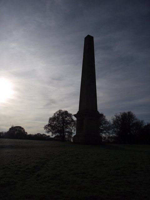
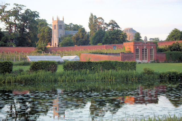
Ickworth is known for its picturesque landscapes and historic architecture. The centerpiece of the parish is Ickworth House, a neoclassical mansion built in the late 18th century. The house boasts an impressive Rotunda, which is one of the largest of its kind in Europe. It is surrounded by stunning gardens and parkland, making it a popular tourist attraction.
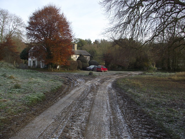
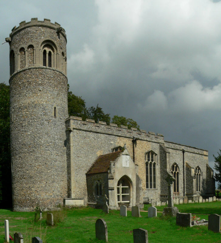
In addition to the grand estate, Ickworth is also home to a small rural community. The parish has a population of around 300 residents, who are mainly engaged in agriculture and other related industries. The village has a few amenities, including a village hall and a primary school. The parish church, St. Mary's, is a Grade I listed building and dates back to the 14th century.
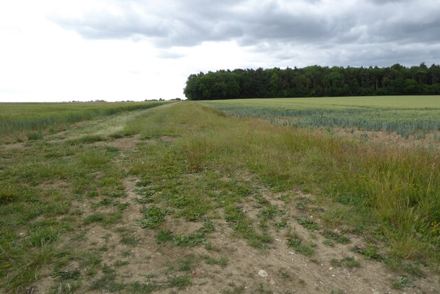
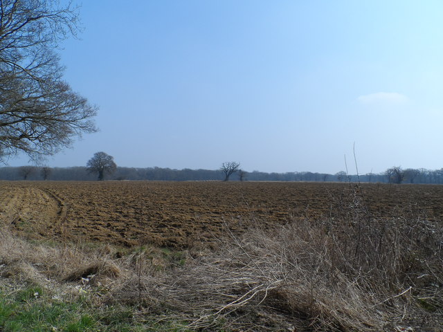
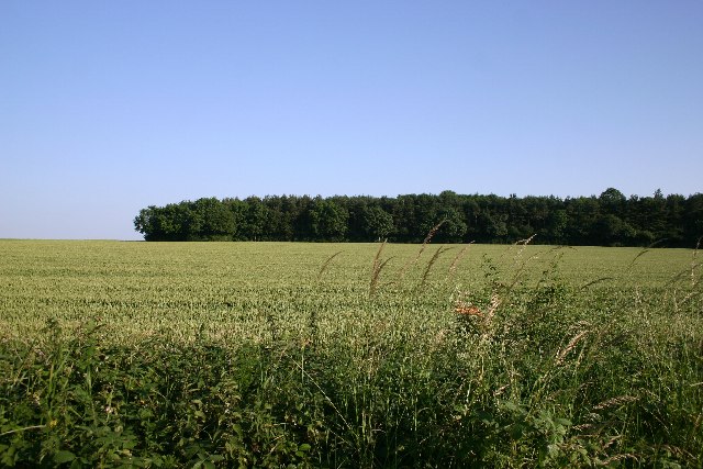
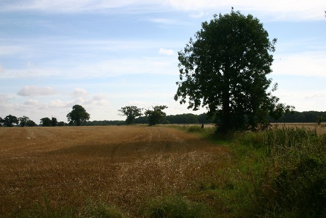
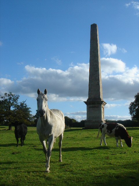
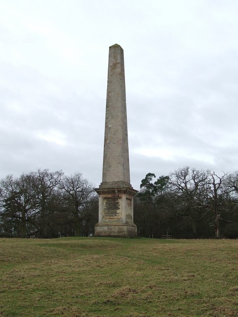
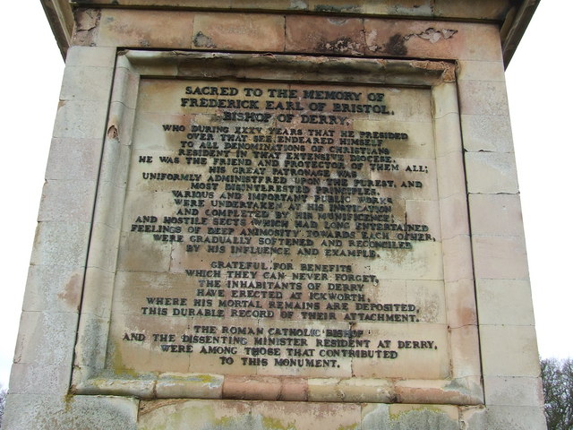
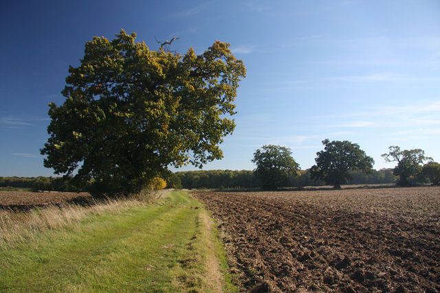
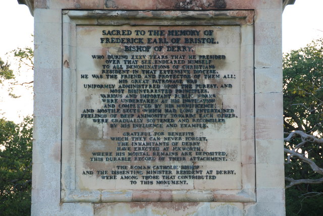
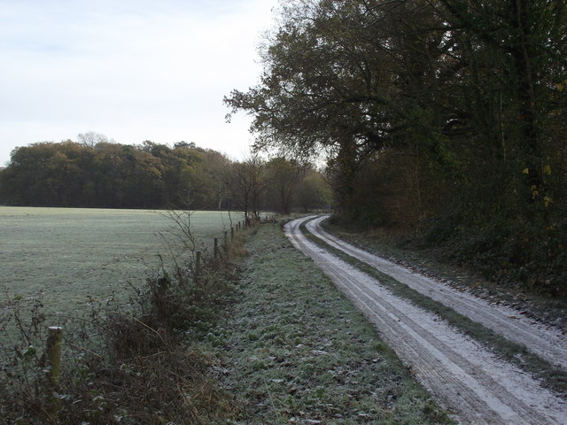
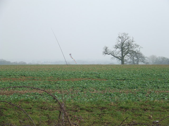
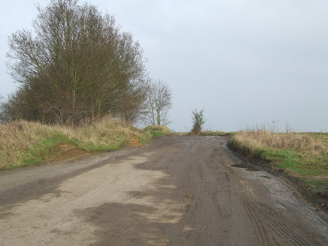
Ickworth offers a tranquil and idyllic countryside setting, with plenty of walking trails and outdoor activities for visitors to enjoy. The National Trust manages the estate's woodlands, which provide habitats for various wildlife species. The area is also rich in history, with archaeological finds dating back to the Roman era. Overall, Ickworth is a charming and historically significant parish that offers a delightful blend of natural beauty and cultural heritage.
If you have any feedback on the listing, please let us know in the comments section below.
Ickworth Images
Images are sourced within 2km of 52.219565/0.653296 or Grid Reference TL8161. Thanks to Geograph Open Source API. All images are credited.


Ickworth is located at Grid Ref: TL8161 (Lat: 52.219565, Lng: 0.653296)
Administrative County: Suffolk
District: St Edmundsbury
Police Authority: Suffolk
What 3 Words
///binder.wells.mows. Near Bury St Edmunds, Suffolk
Nearby Locations
Related Wikis

St Mary's Church, Ickworth
Ickworth Church (more formally known as St Mary's Church, Ickworth) is a former parish church in Ickworth Park near Bury St Edmunds in Suffolk, England...

Ickworth House
Ickworth House is a country house at Ickworth, near Bury St Edmunds, Suffolk, England. It is a neoclassical building set in parkland. The house was the...
Ickworth
Ickworth is a small civil parish, almost coextensive with the estate of the National Trust's Ickworth House, in the West Suffolk district of Suffolk, eastern...

Horringer
Horringer, formerly also called Horningsheath, is a village and civil parish in the West Suffolk district of Suffolk in eastern England. It lies on the...

Thingoe Rural District
Thingoe Rural District was a rural district in the county of West Suffolk, England between 1894 and 1974. It was named after the ancient Hundred of Thingoe...

Little Horringer Hall
Little Horringer Hall is a Grade II-listed house in Horringer, Bury St Edmunds, Suffolk, England.There has been a hall in this location since the 17th...
Little Saxham
Little Saxham is a village and former civil parish, now in the parish of The Saxhams, in the West Suffolk district, in the county of Suffolk, England....
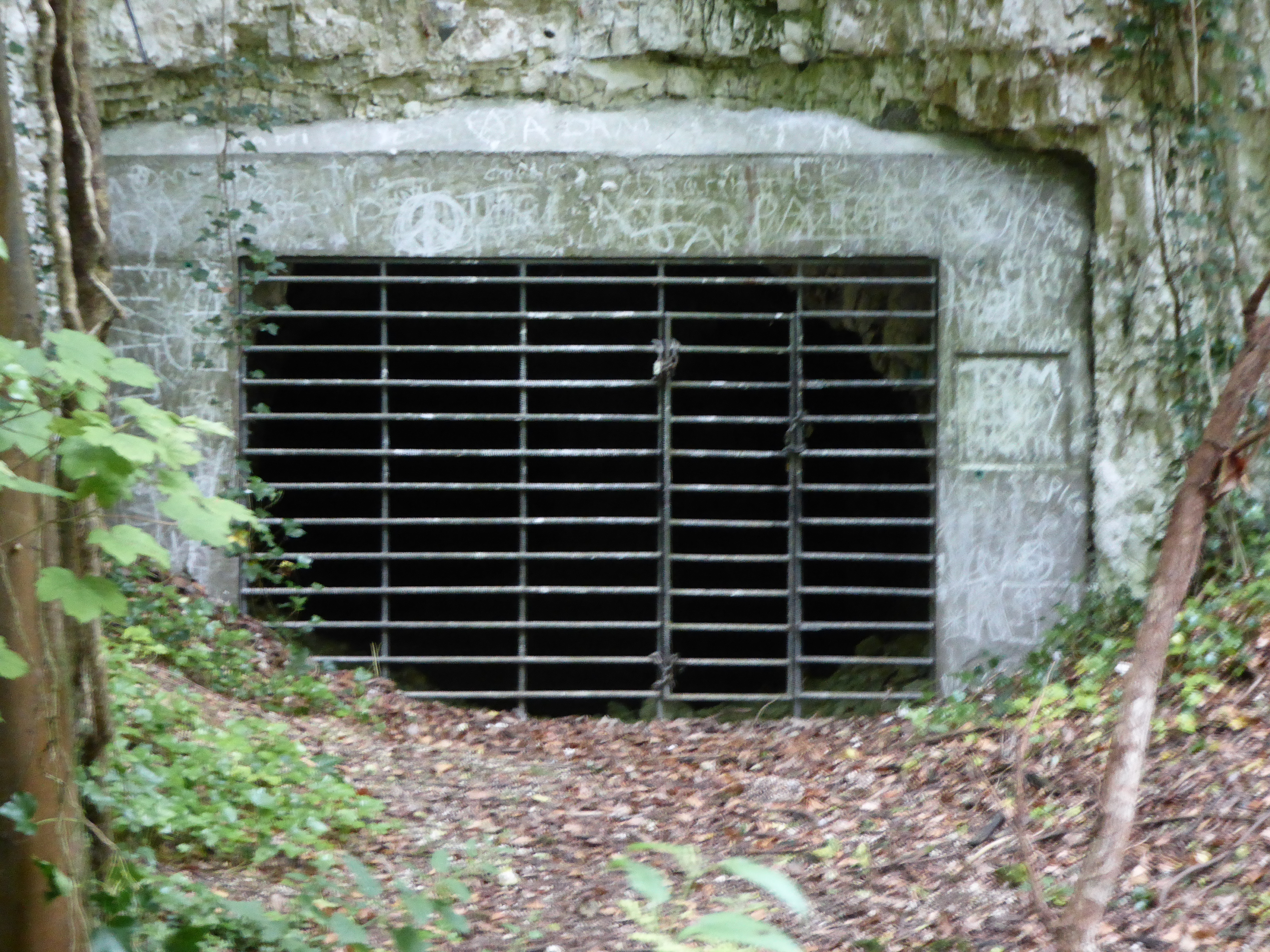
Horringer Court Caves
Horringer Court Caves is a 3.8-hectare (9.4-acre) biological Site of Special Scientific Interest on the southern outskirts of Bury St Edmunds in Suffolk...
Nearby Amenities
Located within 500m of 52.219565,0.653296Have you been to Ickworth?
Leave your review of Ickworth below (or comments, questions and feedback).