Albana Wood
Wood, Forest in Suffolk West Suffolk
England
Albana Wood
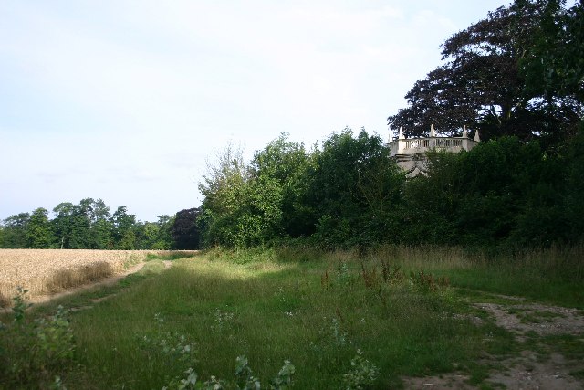
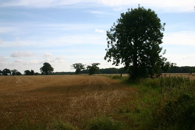
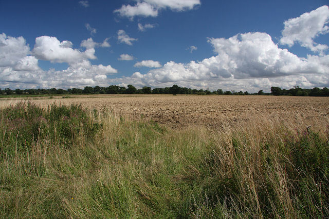
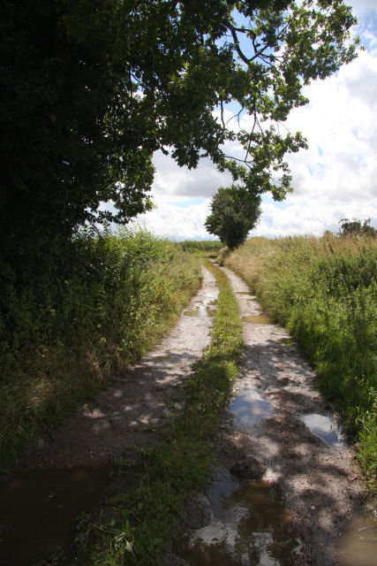
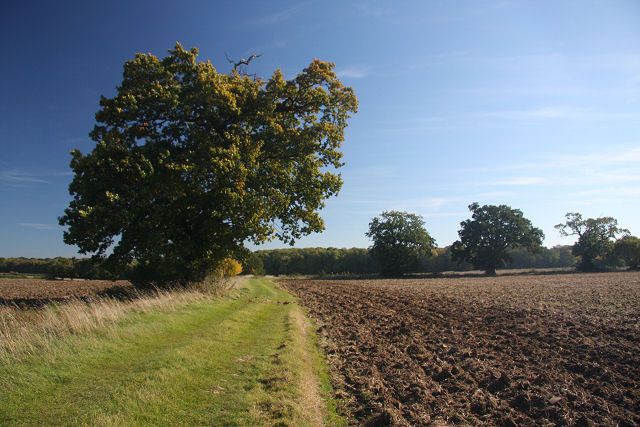
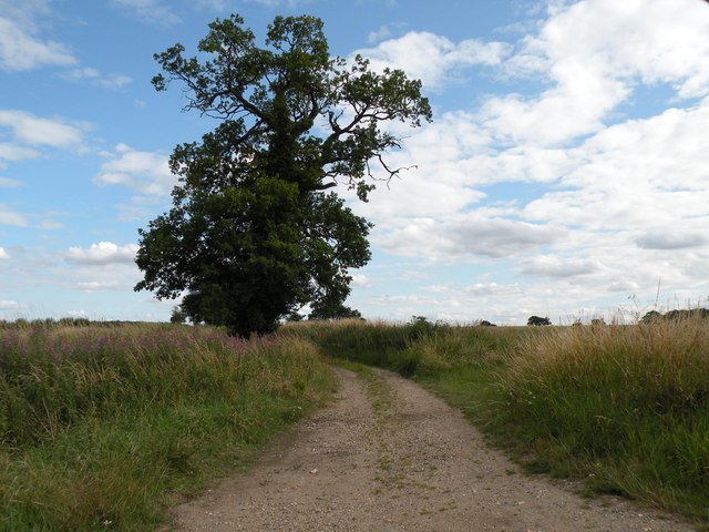
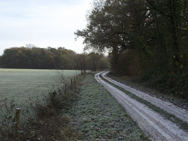
Albana Wood, located in Suffolk, England, is a picturesque forest known for its natural beauty and rich biodiversity. Spanning over a vast area, this woodland is home to a variety of trees, plants, and wildlife, making it a popular destination for nature enthusiasts and hikers.
The forest primarily consists of broadleaf trees such as oak, beech, and ash, which create a dense canopy and provide a serene and tranquil environment. The woodland floor is adorned with a carpet of bluebells, wild garlic, and various ferns, adding to its enchanting appeal. The diversity of flora in Albana Wood also attracts a wide range of bird species, including woodpeckers, nightingales, and owls, delighting birdwatchers.
Furthermore, visitors to Albana Wood may come across several walking paths and trails, allowing them to explore the forest at their own pace. These trails offer breathtaking views of the surrounding countryside, making it a perfect spot for photography enthusiasts. Additionally, the forest is equipped with picnic areas, providing a pleasant setting for families and friends to enjoy a meal amidst nature.
Albana Wood, Suffolk, is not only a natural haven but also serves as an important habitat for numerous animal species. It is not uncommon to spot deer, foxes, rabbits, and squirrels while wandering through the forest. Conservation efforts are in place to protect and preserve the woodland, ensuring its continued ecological significance for future generations to enjoy.
If you have any feedback on the listing, please let us know in the comments section below.
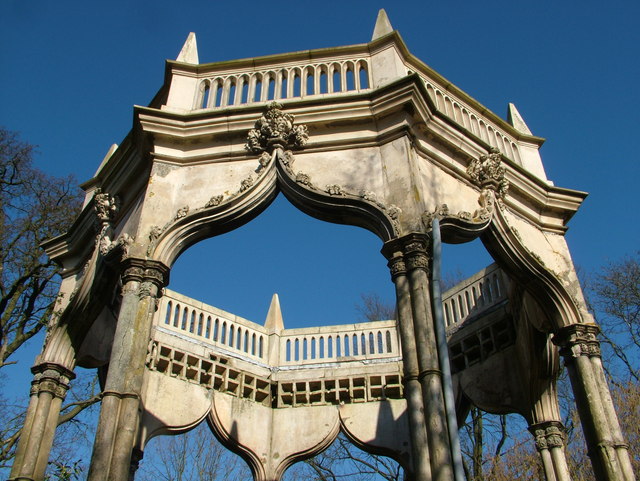
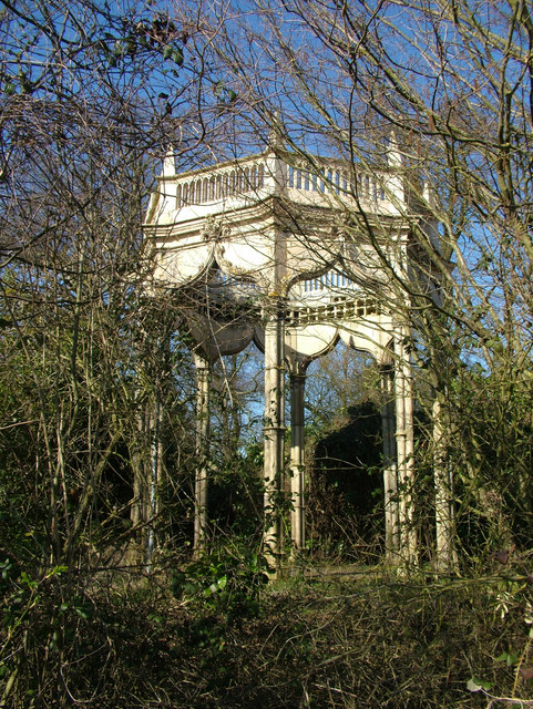
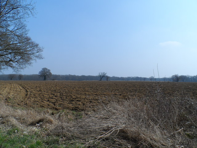
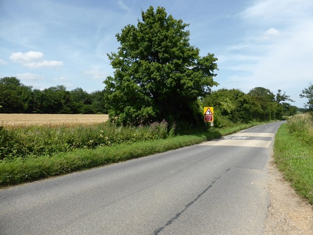
Albana Wood Images
Images are sourced within 2km of 52.222344/0.65025689 or Grid Reference TL8161. Thanks to Geograph Open Source API. All images are credited.
Albana Wood is located at Grid Ref: TL8161 (Lat: 52.222344, Lng: 0.65025689)
Administrative County: Suffolk
District: West Suffolk
Police Authority: Suffolk
What 3 Words
///amphibian.originals.albums. Near Bury St Edmunds, Suffolk
Nearby Locations
Related Wikis

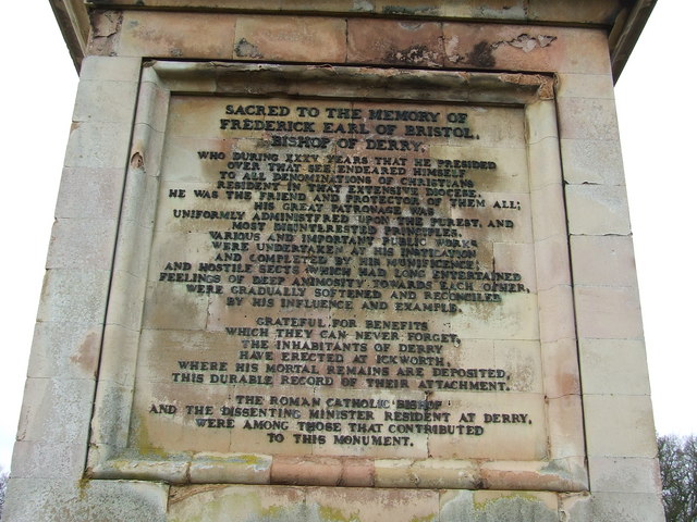
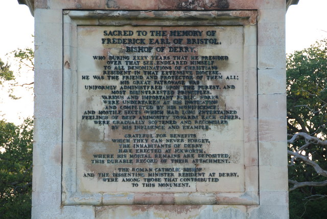
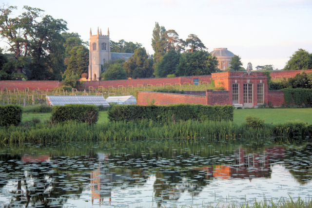
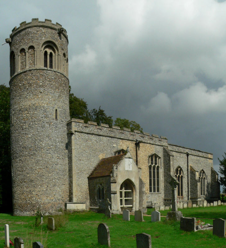
St Mary's Church, Ickworth
Ickworth Church (more formally known as St Mary's Church, Ickworth) is a former parish church in Ickworth Park near Bury St Edmunds in Suffolk, England...

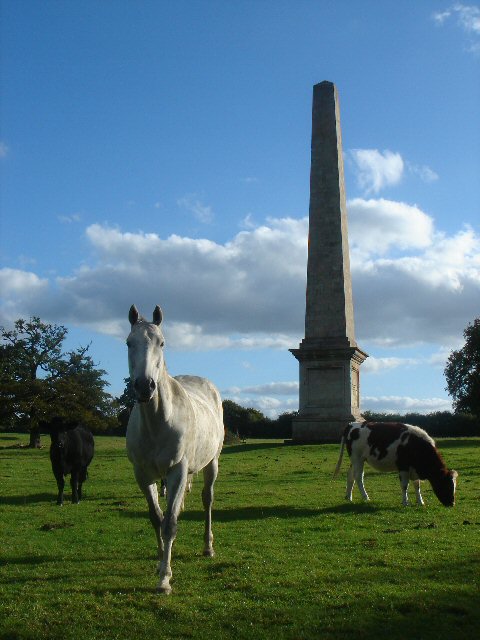
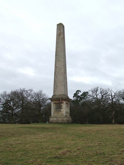
Ickworth House
Ickworth House is a country house at Ickworth, near Bury St Edmunds, Suffolk, England. It is a neoclassical building set in parkland. The house was the...

Thingoe Rural District
Thingoe Rural District was a rural district in the county of West Suffolk, England between 1894 and 1974. It was named after the ancient Hundred of Thingoe...

Little Horringer Hall
Little Horringer Hall is a Grade II-listed house in Horringer, Bury St Edmunds, Suffolk, England.There has been a hall in this location since the 17th...
Ickworth
Ickworth is a small civil parish, almost coextensive with the estate of the National Trust's Ickworth House, in the West Suffolk district of Suffolk, eastern...

Horringer
Horringer, formerly also called Horningsheath, is a village and civil parish in the West Suffolk district of Suffolk in eastern England. It lies on the...
Little Saxham
Little Saxham is a village and former civil parish, now in the parish of The Saxhams, in the West Suffolk district, in the county of Suffolk, England....
The Saxhams
The Saxhams is a civil parish in the West Suffolk district of Suffolk in eastern England. Located around two miles west of Bury St Edmunds, the parish...
Nearby Amenities
Located within 500m of 52.222344,0.65025689Have you been to Albana Wood?
Leave your review of Albana Wood below (or comments, questions and feedback).