Ickworth Park
Downs, Moorland in Suffolk West Suffolk
England
Ickworth Park
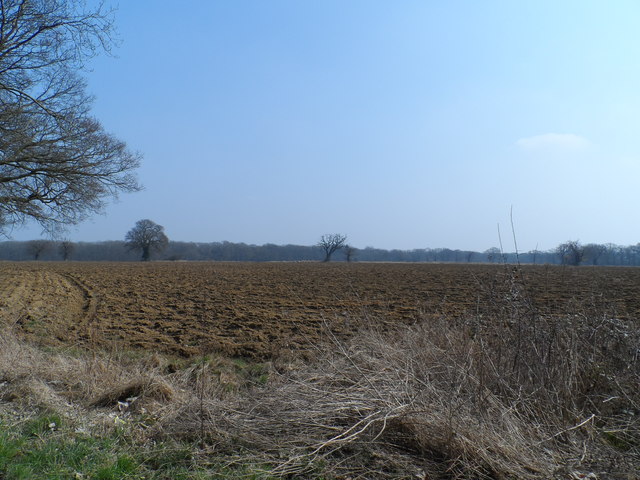
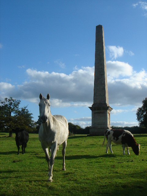
Ickworth Park is a picturesque estate located in Suffolk, England. Covering an area of approximately 1,800 acres, the park is renowned for its stunning landscape, which features a mix of downs and moorland. The park is part of the Ickworth House estate, which is owned by the National Trust.
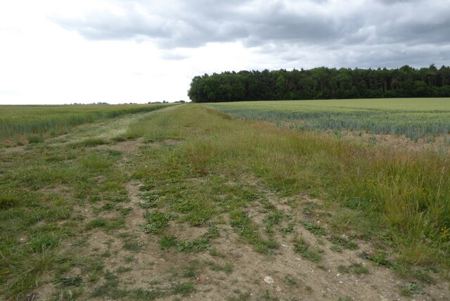
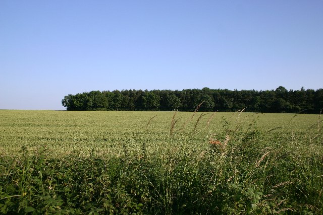
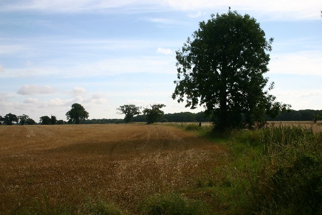
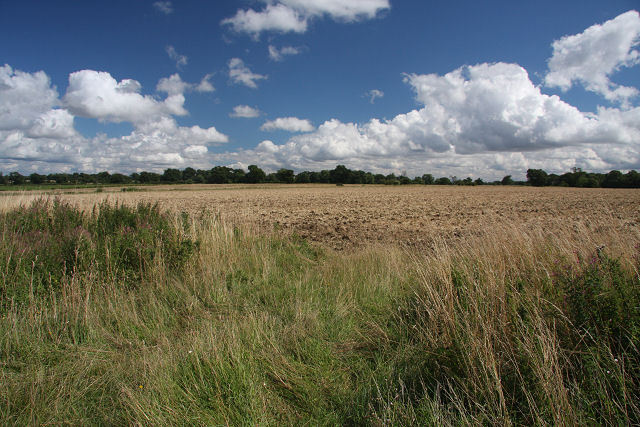
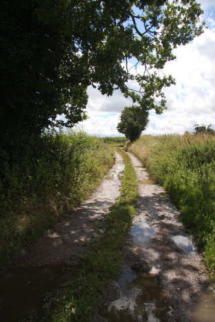
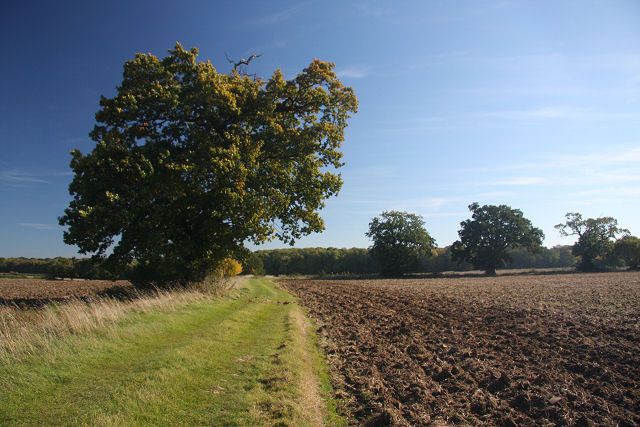
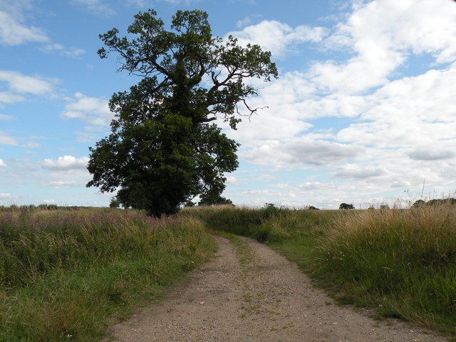
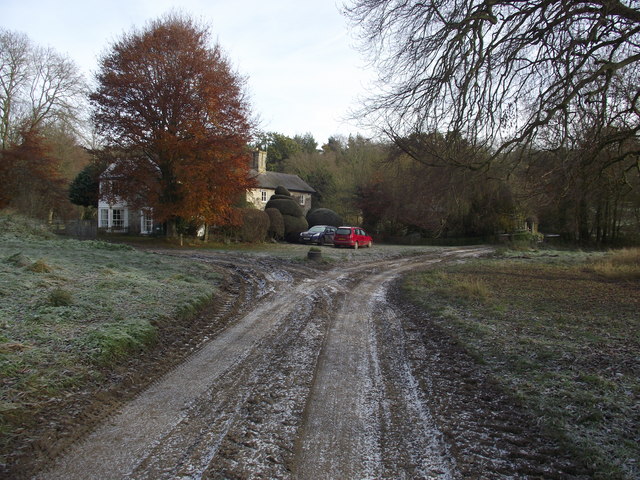
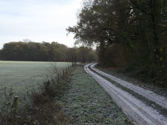
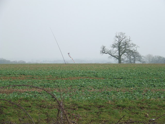
The downs at Ickworth Park offer visitors breathtaking views of the surrounding countryside. These rolling hills are covered in lush green grasses and dotted with wildflowers, creating a picturesque scene. The downs are a popular spot for walking, picnicking, and enjoying the tranquility of nature.
The moorland at Ickworth Park is equally impressive. This rugged and wild landscape is characterized by its open expanses, heather-covered hills, and scattered trees. The moorland is home to a diverse range of wildlife, including birds, rabbits, and deer. Visitors can explore the moorland on foot or bike, following the many trails that wind through the area.
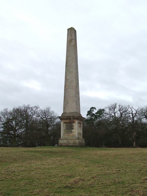
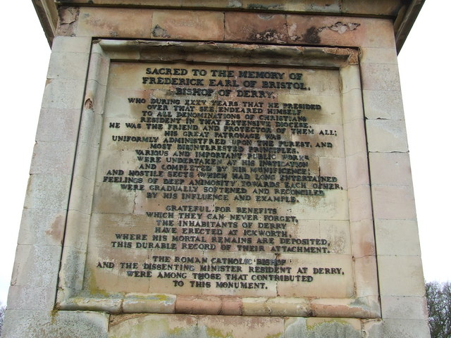
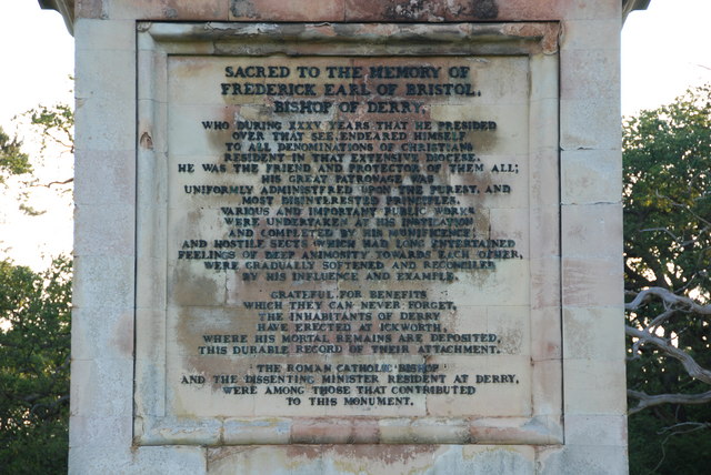
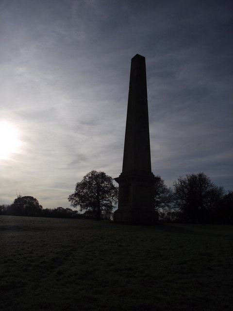
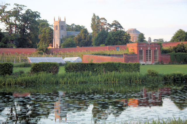
In addition to its natural beauty, Ickworth Park is home to a number of historical and cultural attractions. The centerpiece of the estate is the grand Ickworth House, an impressive Georgian mansion built in the late 18th century. The house is surrounded by beautifully landscaped gardens, which are perfect for leisurely strolls.
Overall, Ickworth Park offers visitors a wonderful combination of natural beauty, history, and recreational opportunities. Whether you are a nature enthusiast, history buff, or simply seeking a peaceful escape, Ickworth Park is a must-visit destination in Suffolk.
If you have any feedback on the listing, please let us know in the comments section below.
Ickworth Park Images
Images are sourced within 2km of 52.221589/0.65306715 or Grid Reference TL8161. Thanks to Geograph Open Source API. All images are credited.

Ickworth Park is located at Grid Ref: TL8161 (Lat: 52.221589, Lng: 0.65306715)
Administrative County: Suffolk
District: West Suffolk
Police Authority: Suffolk
What 3 Words
///rant.accompany.tornado. Near Bury St Edmunds, Suffolk
Nearby Locations
Related Wikis

Ickworth House
Ickworth House is a country house at Ickworth, near Bury St Edmunds, Suffolk, England. It is a neoclassical building set in parkland. The house was the...

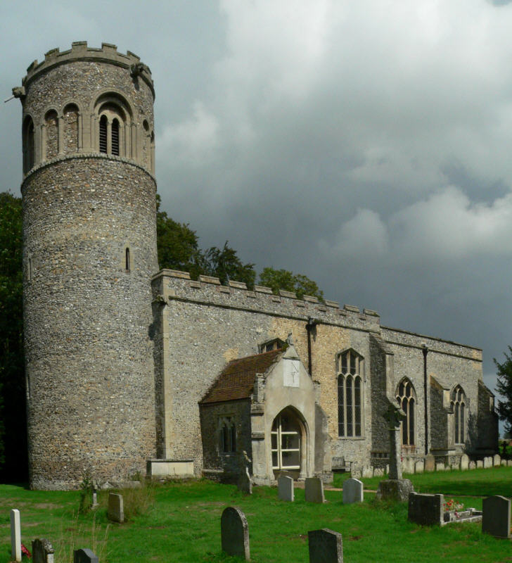
St Mary's Church, Ickworth
Ickworth Church (more formally known as St Mary's Church, Ickworth) is a former parish church in Ickworth Park near Bury St Edmunds in Suffolk, England...
Ickworth
Ickworth is a small civil parish, almost coextensive with the estate of the National Trust's Ickworth House, in the West Suffolk district of Suffolk, eastern...

Horringer
Horringer, formerly also called Horningsheath, is a village and civil parish in the West Suffolk district of Suffolk in eastern England. It lies on the...

Little Horringer Hall
Little Horringer Hall is a Grade II-listed house in Horringer, Bury St Edmunds, Suffolk, England.There has been a hall in this location since the 17th...

Thingoe Rural District
Thingoe Rural District was a rural district in the county of West Suffolk, England between 1894 and 1974. It was named after the ancient Hundred of Thingoe...
Little Saxham
Little Saxham is a village and former civil parish, now in the parish of The Saxhams, in the West Suffolk district, in the county of Suffolk, England....
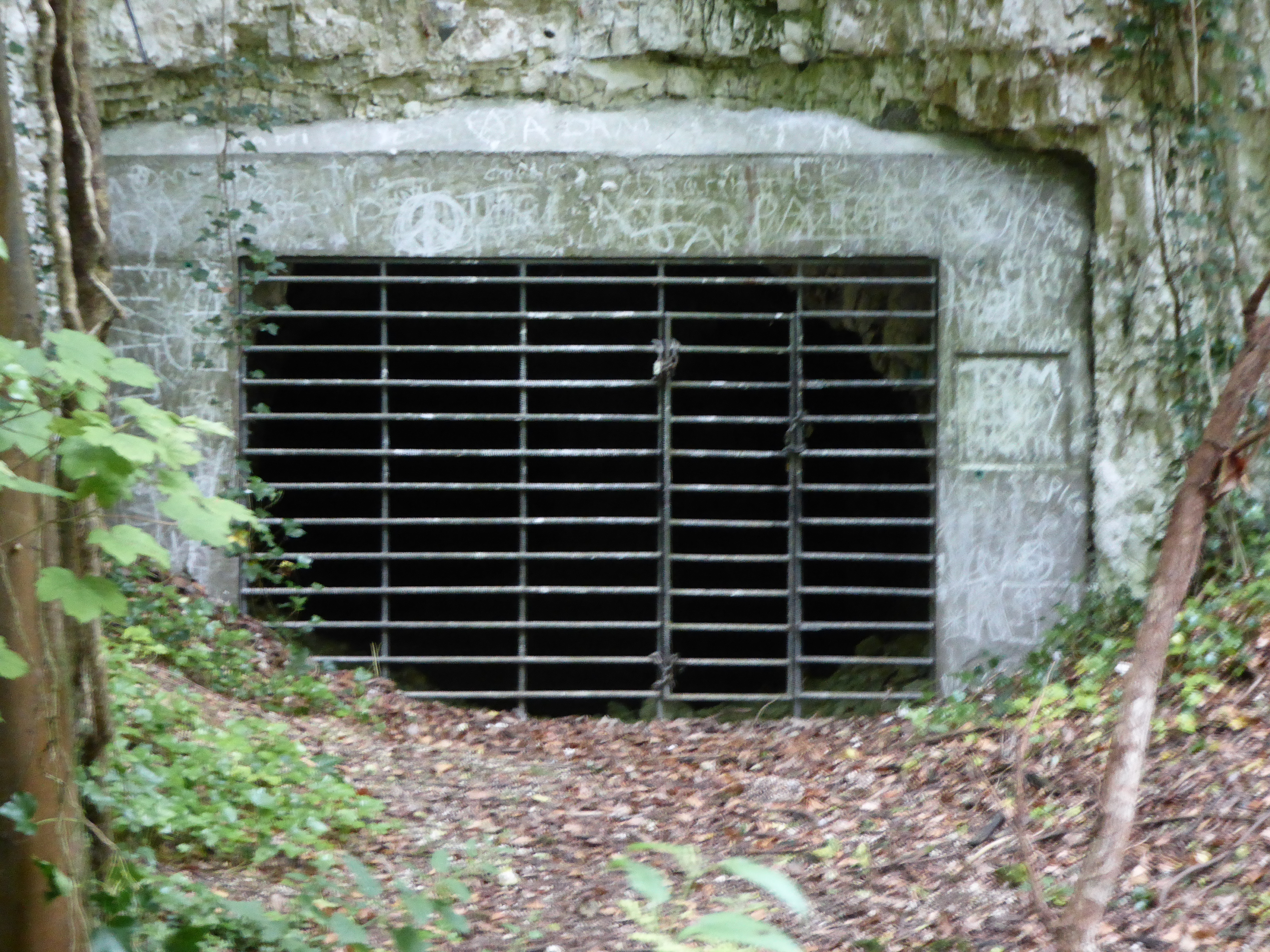
Horringer Court Caves
Horringer Court Caves is a 3.8-hectare (9.4-acre) biological Site of Special Scientific Interest on the southern outskirts of Bury St Edmunds in Suffolk...
Nearby Amenities
Located within 500m of 52.221589,0.65306715Have you been to Ickworth Park?
Leave your review of Ickworth Park below (or comments, questions and feedback).