Clarks Field
Downs, Moorland in Essex Maldon
England
Clarks Field

Clarks Field is a vast expanse of land located in the county of Essex, England. Situated amidst the beautiful countryside, it is a combination of downs and moorland, showcasing the diverse natural landscapes that the region has to offer.
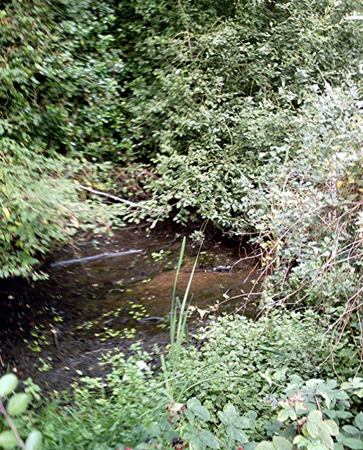
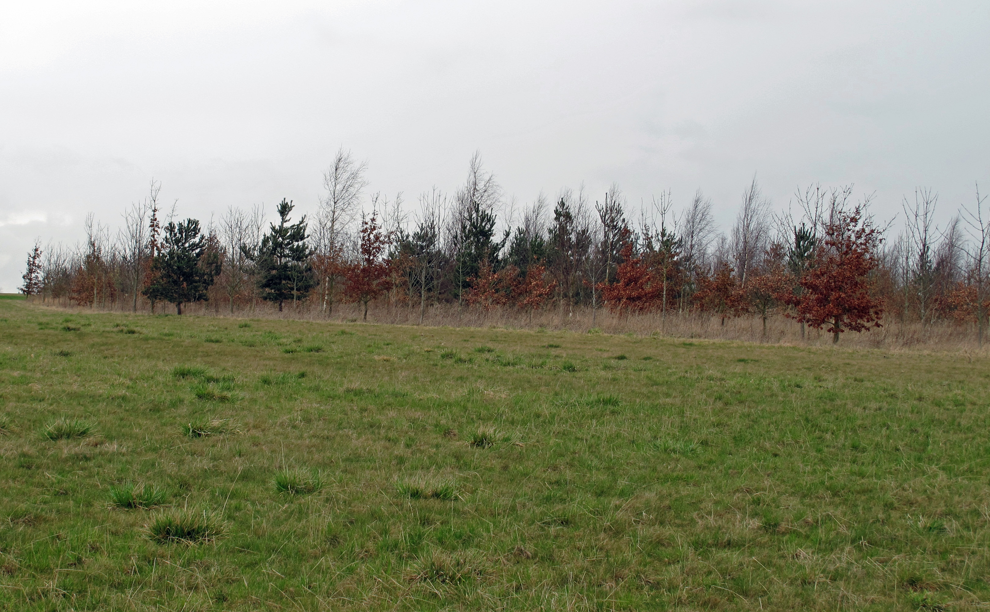
Covering a significant area, Clarks Field is known for its rolling hills, open grasslands, and heathlands. The downs provide picturesque views with their gently sloping terrain, while the moorland areas are characterized by their wild, untamed beauty. The landscape is dotted with various plant species, including heather, gorse, and grasses, creating a rich tapestry of colors throughout the year.
The field is home to a wide range of wildlife, making it a haven for nature enthusiasts. Visitors may spot a variety of bird species, such as skylarks and lapwings, soaring through the skies above. Additionally, it is not uncommon to encounter rabbits, foxes, and other small mammals that inhabit the area.
Clarks Field offers an ideal setting for outdoor activities and leisurely pursuits. Its expansiveness allows for long walks, hikes, and picnics amidst the serene surroundings. The diverse terrain also attracts adventure seekers, who can partake in activities like mountain biking or horse riding.
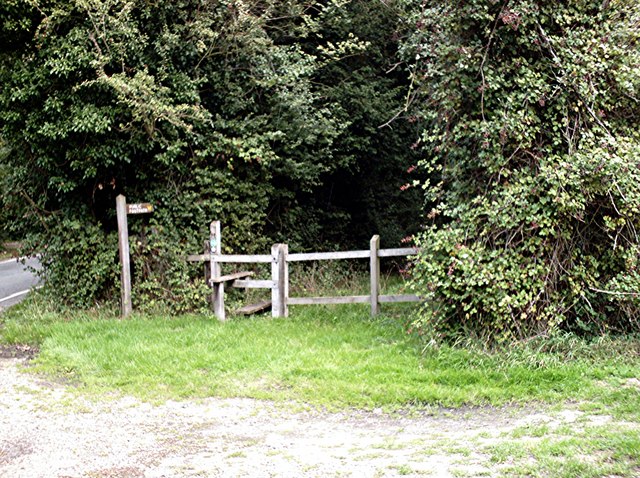
The field is easily accessible, with designated footpaths and trails that allow visitors to explore its beauty. Additionally, there are information boards and signposts throughout the area that provide guidance and insights into the flora, fauna, and history of Clarks Field.
In conclusion, Clarks Field in Essex is a captivating natural landscape that encompasses downs and moorland. With its stunning views, diverse wildlife, and recreational opportunities, it attracts visitors from near and far who seek to immerse themselves in the beauty of the English countryside.
If you have any feedback on the listing, please let us know in the comments section below.
Clarks Field Images
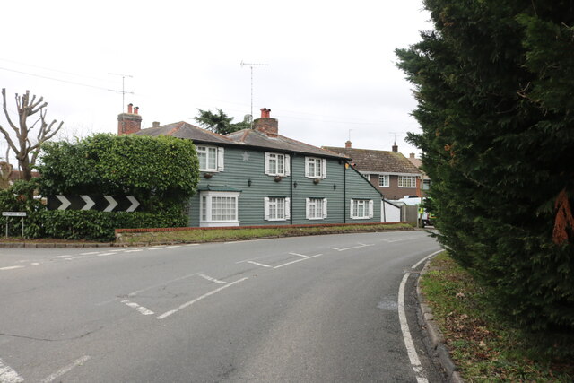
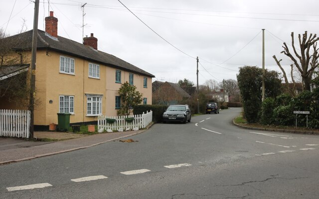
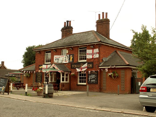
Images are sourced within 2km of 51.693517/0.62097518 or Grid Reference TL8102. Thanks to Geograph Open Source API. All images are credited.


Clarks Field is located at Grid Ref: TL8102 (Lat: 51.693517, Lng: 0.62097518)
Administrative County: Essex
District: Maldon
Police Authority: Essex
What 3 Words
///condensed.vandalism.bills. Near Bicknacre, Essex
Nearby Locations
Related Wikis

Hazeleigh
Hazeleigh is a village and civil parish on the Dengie peninsula in the English county of Essex. It lies 2.6 miles south-west of Maldon. == Hazeleigh... ==
Woodham Mortimer
Woodham Mortimer is a village on the Dengie peninsula about three miles west-south-west of Maldon in the English county of Essex. The village is part of...

Bicknacre
Bicknacre is a village in the civil parish of Woodham Ferrers and Bicknacre, in the county of Essex, England. It is approximately 4.0 mi (6.5 km) north...
Woodham Ferrers and Bicknacre
Woodham Ferrers and Bicknacre is a civil parish in the Chelmsford district in Essex, England. The parish includes the villages of Bicknacre and Woodham...
Nearby Amenities
Located within 500m of 51.693517,0.62097518Have you been to Clarks Field?
Leave your review of Clarks Field below (or comments, questions and feedback).