Carr Common
Downs, Moorland in Norfolk King's Lynn and West Norfolk
England
Carr Common

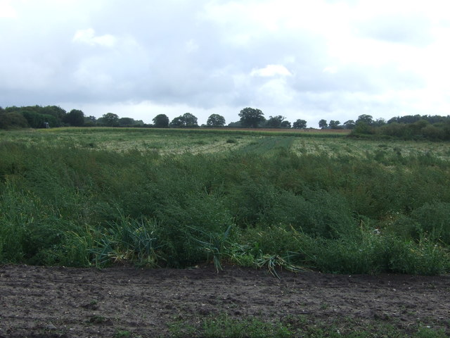
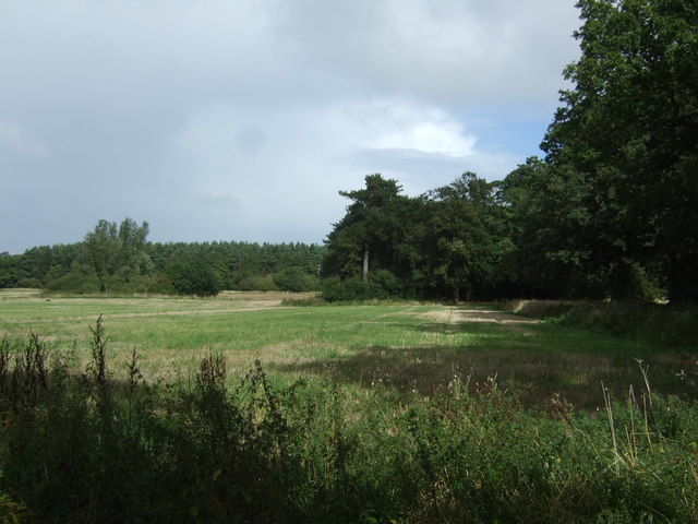
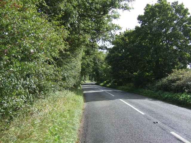
Carr Common is a picturesque area located in Norfolk, England. This stunning natural landscape is known for its vast downs and moorland, making it a popular destination for nature enthusiasts and outdoor adventurers.
The downs of Carr Common are characterized by their rolling hills, covered in lush green grasses and scattered with wildflowers during the warmer months. The views from the top of these downs are breathtaking, offering panoramic vistas of the surrounding countryside. Visitors can enjoy leisurely walks or challenging hikes along the well-maintained trails that crisscross the downs, taking in the beauty of the landscape and the tranquility of the area.
The moorland of Carr Common is equally captivating, with its open expanses of heather and gorse. This unique habitat is home to a variety of wildlife, including rare bird species, such as the curlew and the lapwing. Birdwatchers flock to Carr Common to observe these fascinating creatures in their natural environment.
In addition to its natural beauty, Carr Common also boasts a rich history. There are ancient burial mounds scattered throughout the area, providing a glimpse into the lives of the people who once inhabited this land. Archaeological excavations have unearthed artifacts dating back thousands of years, adding to the historical significance of Carr Common.
Overall, Carr Common in Norfolk is a must-visit destination for anyone seeking to immerse themselves in the beauty of nature and explore the rich history of the region. Whether it's a leisurely walk, a challenging hike, or birdwatching, there is something for everyone to enjoy in this stunning landscape.
If you have any feedback on the listing, please let us know in the comments section below.
Carr Common Images
Images are sourced within 2km of 52.757276/0.6834431 or Grid Reference TF8121. Thanks to Geograph Open Source API. All images are credited.


Carr Common is located at Grid Ref: TF8121 (Lat: 52.757276, Lng: 0.6834431)
Administrative County: Norfolk
District: King's Lynn and West Norfolk
Police Authority: Norfolk
What 3 Words
///limes.washroom.control. Near Grimston, Norfolk
Nearby Locations
Related Wikis

Rougham, Norfolk
Rougham is a village and civil parish in the English county of Norfolk. It covers an area of 10.85 km2 (4.19 sq mi) and had a population of 152 in 69 households...

Great Massingham
Great Massingham is a village and civil parish in the English county of Norfolk. It has a primary school (including a pre-school in the grounds), a village...

RAF Great Massingham
Royal Air Force Great Massingham or more simply RAF Great Massingham is a former Royal Air Force station located 8.1 miles (13.0 km) southwest of Fakenham...
KL.FM 96.7
KL.FM 96.7 (King's Lynn FM) was an Independent Local Radio station located in King's Lynn, Norfolk, England. It broadcast from a former bank building at...
Little Massingham
Little Massingham is a small village and civil parish in the English county of Norfolk. It is located on the northern boundary of Great Massingham. It...

Weasenham All Saints
Weasenham All Saints is a civil parish in the English county of Norfolk. It covers an area of 8.16 km2 (3.15 sq mi) and had a population of 178 in 76 households...
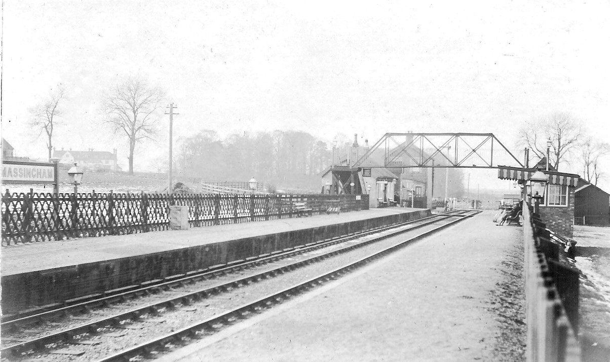
Massingham railway station
Massingham railway station is a now closed railway station in North Norfolk. It was situated at Little Massingham and was on the line between South Lynn...

Peddars Way
The Peddars Way is a long distance footpath that passes through Suffolk and Norfolk, England. == Route == The Peddars Way is 46 miles (74 km) long and...
Nearby Amenities
Located within 500m of 52.757276,0.6834431Have you been to Carr Common?
Leave your review of Carr Common below (or comments, questions and feedback).