Building Plantation
Wood, Forest in Suffolk West Suffolk
England
Building Plantation
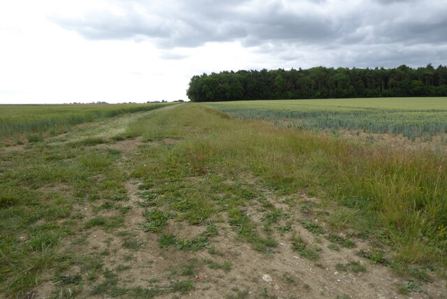
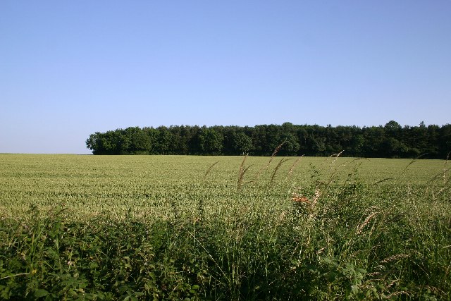
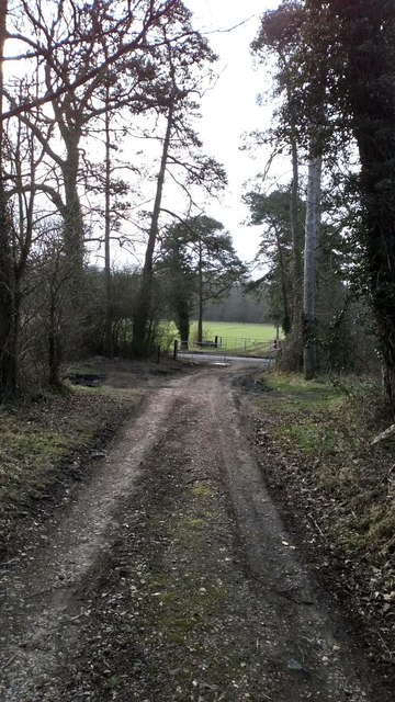
Building Plantation, Suffolk (Wood, Forest) is a magnificent woodland area located in Suffolk, England. Covering an extensive area of approximately 500 acres, this plantation is a sanctuary for nature lovers and outdoor enthusiasts alike. The plantation is situated in a prime location, surrounded by picturesque landscapes and a diverse range of flora and fauna.
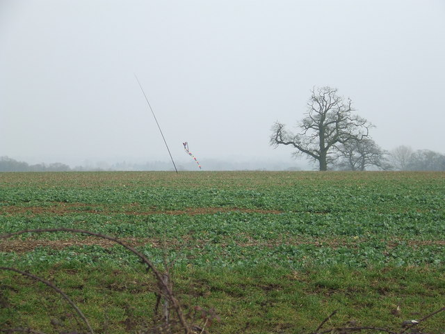
The woodland is primarily composed of various species of trees, including oak, ash, beech, and pine, which provide a lush and dense canopy overhead. These trees not only create a stunning visual display throughout the year but also offer a habitat for a wide range of wildlife.
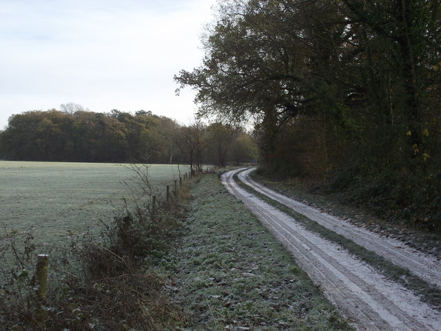
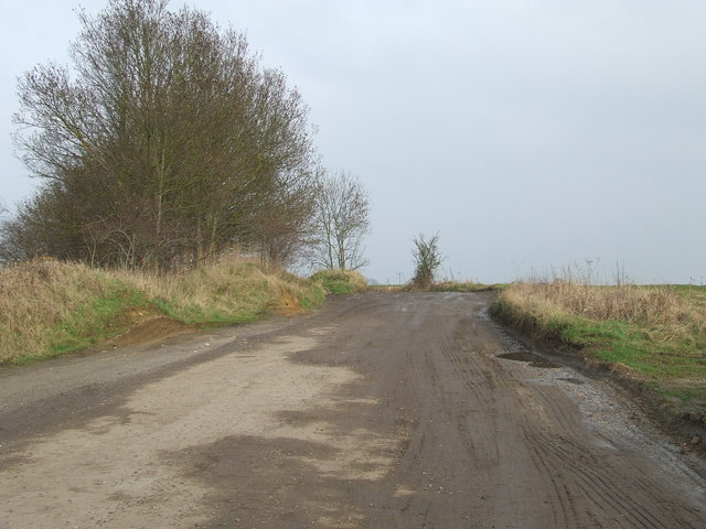
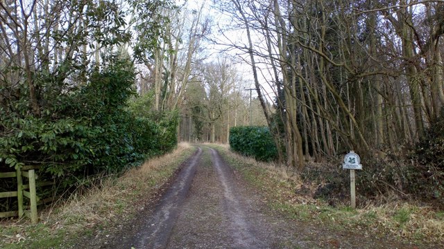
Walking through Building Plantation, visitors can enjoy the tranquility and serenity of nature. The woodland is crisscrossed by well-maintained trails, allowing visitors to explore the area at their own pace. These trails lead to hidden gems within the plantation, such as a tranquil pond, where visitors can sit back and observe the vibrant birdlife that frequents the area.
The plantation is also home to a variety of mammals, including deer, foxes, and rabbits, making it a popular spot for wildlife enthusiasts and photographers. Birdwatchers can delight in spotting a diverse range of avian species, including woodpeckers, owls, and various songbirds.
Building Plantation is not only a haven for wildlife but also serves as an important ecological site. The woodland plays a vital role in maintaining the local ecosystem, providing a habitat for numerous species and contributing to the overall health and balance of the surrounding environment.
Overall, Building Plantation, Suffolk (Wood, Forest) is a captivating woodland area that offers a peaceful retreat from the hustle and bustle of everyday life. With its diverse range of flora and fauna, well-maintained trails, and picturesque landscapes, it is a must-visit destination for nature enthusiasts and those seeking a connection with the natural world.
If you have any feedback on the listing, please let us know in the comments section below.
Building Plantation Images
Images are sourced within 2km of 52.222001/0.6583045 or Grid Reference TL8161. Thanks to Geograph Open Source API. All images are credited.


Building Plantation is located at Grid Ref: TL8161 (Lat: 52.222001, Lng: 0.6583045)
Administrative County: Suffolk
District: West Suffolk
Police Authority: Suffolk
What 3 Words
///monkey.dealings.intruded. Near Bury St Edmunds, Suffolk
Nearby Locations
Related Wikis

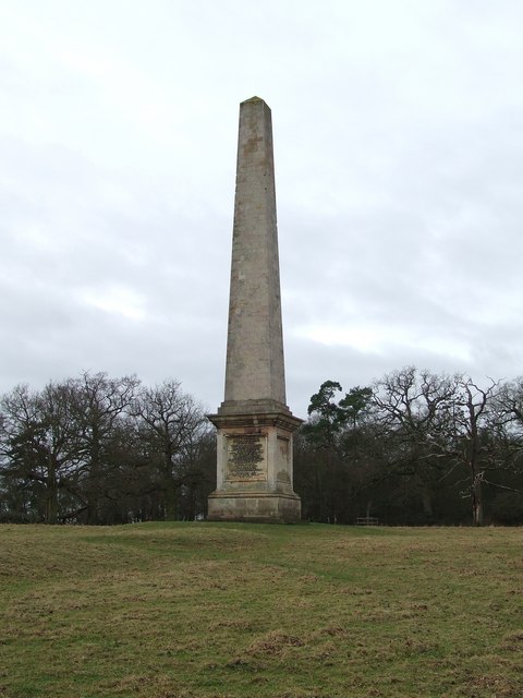
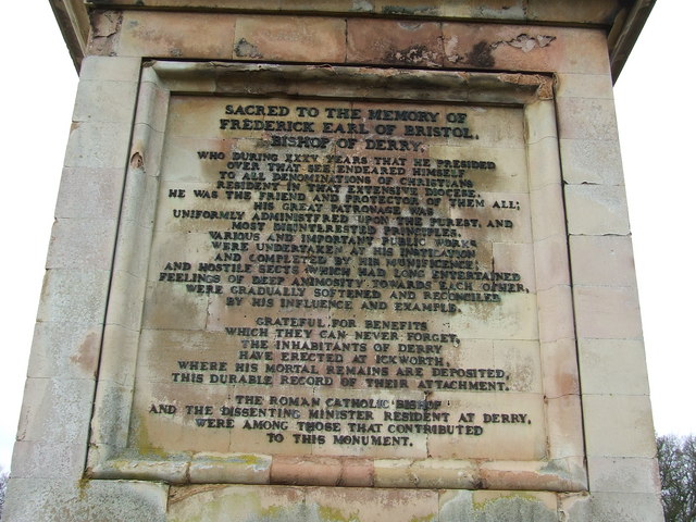
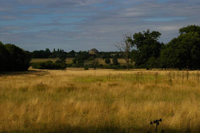
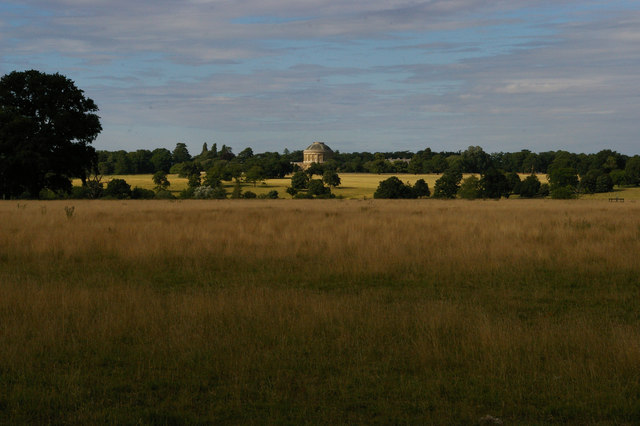
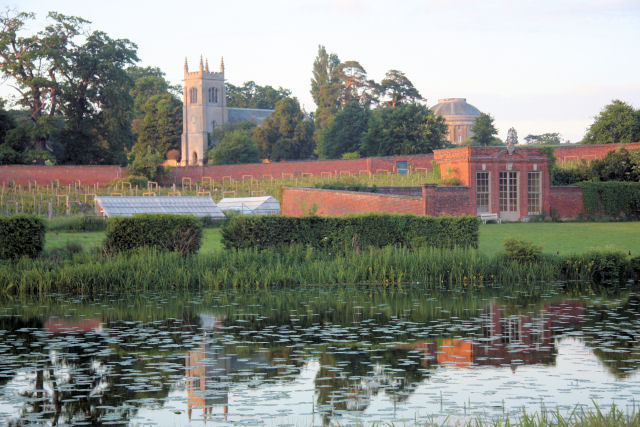
Ickworth House
Ickworth House is a country house at Ickworth, near Bury St Edmunds, Suffolk, England. It is a neoclassical building set in parkland. The house was the...

St Mary's Church, Ickworth
Ickworth Church (more formally known as St Mary's Church, Ickworth) is a former parish church in Ickworth Park near Bury St Edmunds in Suffolk, England...

Horringer
Horringer, formerly also called Horningsheath, is a village and civil parish in the West Suffolk district of Suffolk in eastern England. It lies on the...
Ickworth
Ickworth is a small civil parish, almost coextensive with the estate of the National Trust's Ickworth House, in the West Suffolk district of Suffolk, eastern...

Little Horringer Hall
Little Horringer Hall is a Grade II-listed house in Horringer, Bury St Edmunds, Suffolk, England.There has been a hall in this location since the 17th...

Thingoe Rural District
Thingoe Rural District was a rural district in the county of West Suffolk, England between 1894 and 1974. It was named after the ancient Hundred of Thingoe...
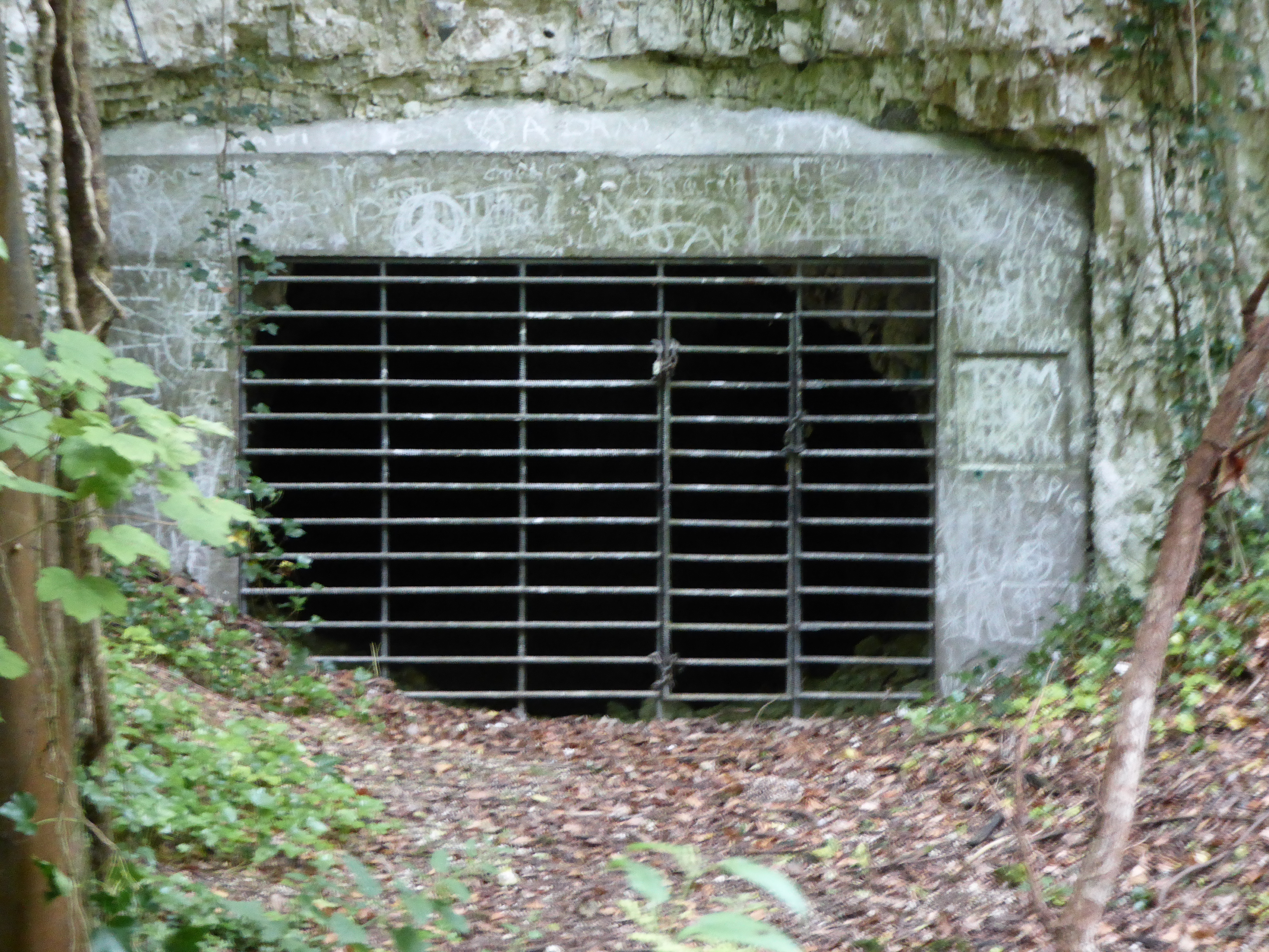
Horringer Court Caves
Horringer Court Caves is a 3.8-hectare (9.4-acre) biological Site of Special Scientific Interest on the southern outskirts of Bury St Edmunds in Suffolk...
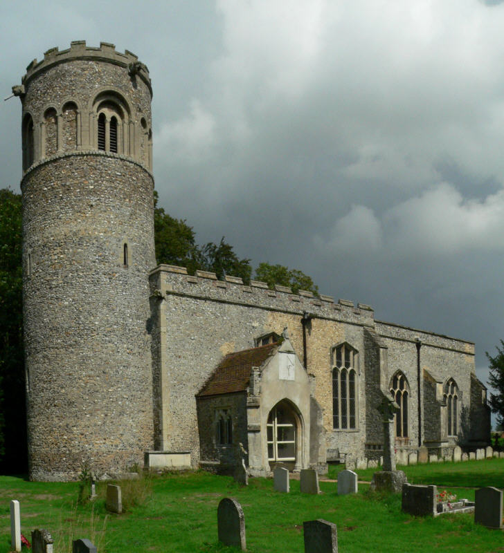
Little Saxham
Little Saxham is a village and former civil parish, now in the parish of The Saxhams, in the West Suffolk district, in the county of Suffolk, England....
Nearby Amenities
Located within 500m of 52.222001,0.6583045Have you been to Building Plantation?
Leave your review of Building Plantation below (or comments, questions and feedback).