Icomb

Civil Parish in Gloucestershire Cotswold

England

Icomb

Oxfordshire Way Oxfordshire Way at Gawcombe
Oxfordshire Way Credit: Shaun Ferguson

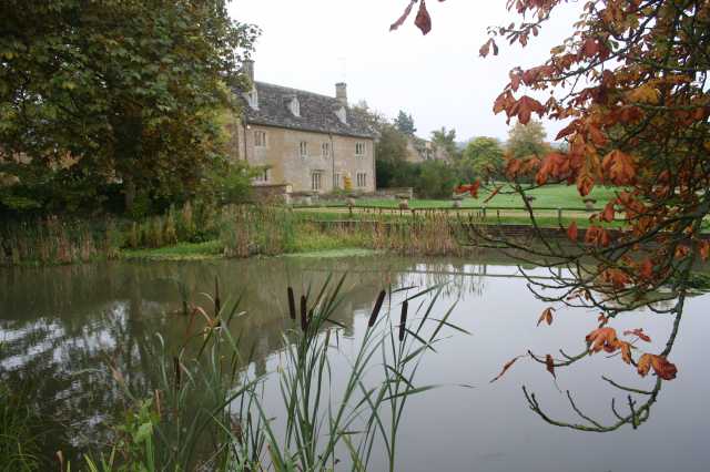
Icomb is a civil parish located in the county of Gloucestershire, England. It is a small rural village situated in the Cotswolds, an Area of Outstanding Natural Beauty. The parish is nestled in the valley of the River Windrush, surrounded by picturesque rolling hills and farmland.

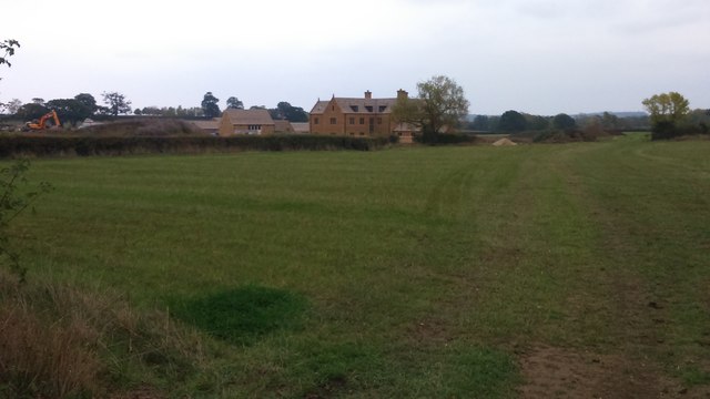
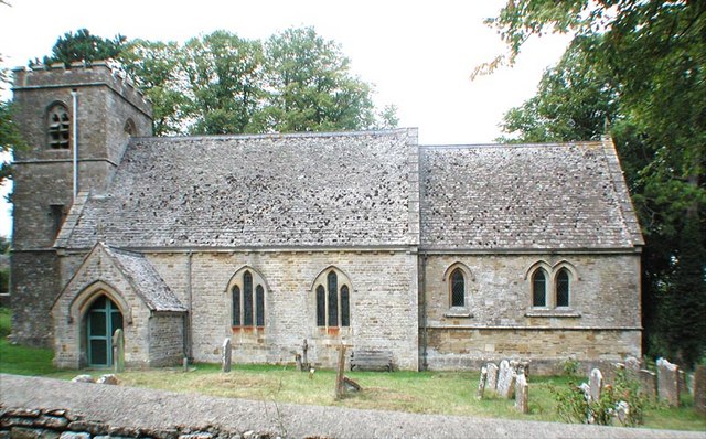
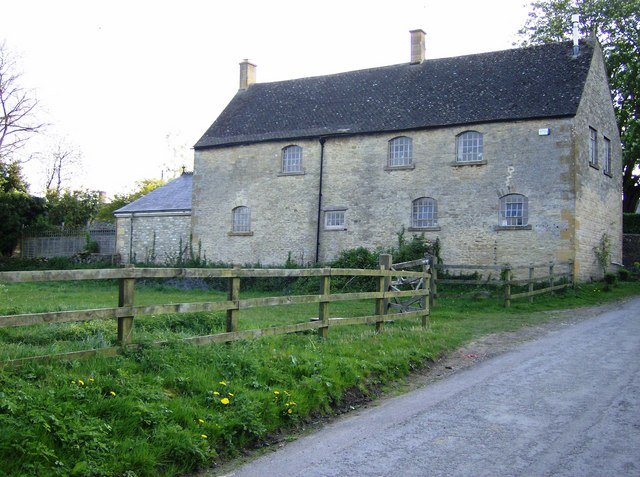
The village of Icomb is characterized by its charming stone-built cottages, many of which date back to the 17th and 18th centuries. The architecture reflects the traditional Cotswold style, with honey-colored limestone walls and thatched roofs. The village is known for its well-preserved historic buildings, including the Grade II listed Icomb Place and the Church of St. Mary, which dates back to the 12th century.

The population of Icomb is relatively small, with just over 100 residents. The village has a close-knit community and a strong sense of local identity. It is a peaceful and tranquil place, offering a respite from the hustle and bustle of nearby urban areas.

The surrounding countryside provides ample opportunities for outdoor activities such as hiking, cycling, and horse riding. The Cotswold Way, a long-distance footpath, passes through the parish, attracting visitors who come to explore the scenic landscapes and enjoy the natural beauty of the area.

Despite its small size, Icomb is well-connected to neighboring towns and villages. The market town of Stow-on-the-Wold is located just a few miles away, offering a range of amenities including shops, cafes, and pubs. The town also hosts regular farmers' markets, showcasing local produce and crafts.

In conclusion, Icomb is a charming and idyllic village situated in the heart of the Cotswolds. With its historic buildings, stunning countryside, and strong community spirit, it offers a quintessentially English experience for both residents and visitors alike.

If you have any feedback on the listing, please let us know in the comments section below.
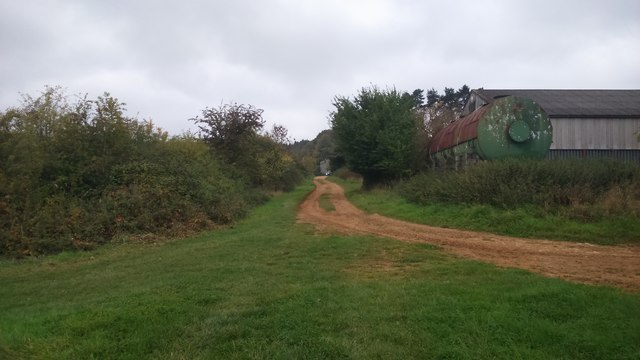
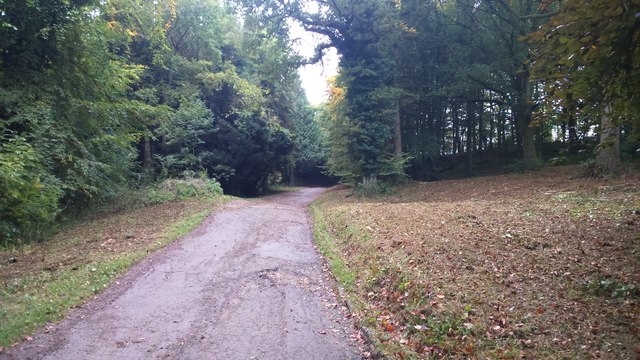
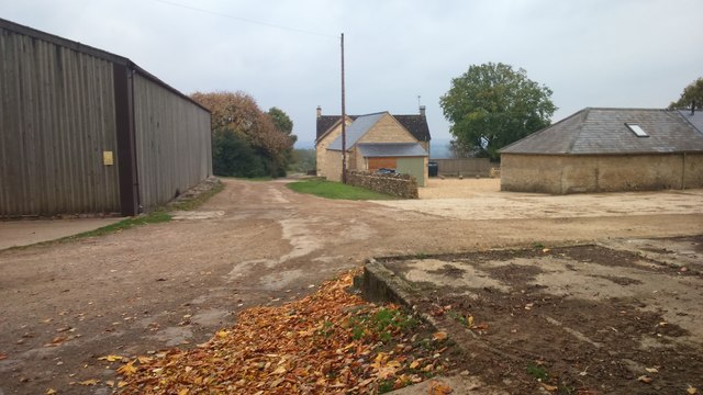
Icomb Images

Images are sourced within 2km of 51.902343/-1.692048 or Grid Reference SP2122. Thanks to Geograph Open Source API. All images are credited.

Oxfordshire Way Oxfordshire Way at Gawcombe
Oxfordshire Way
Oxfordshire Way at Gawcombe
Oxfordshire Way Oxfordshire Way heading up the drive from Gawcombe
Oxfordshire Way
Oxfordshire Way heading up the drive from Gawcombe
Diamond Way Diamond Way passing through Hill Farm
Diamond Way
Diamond Way passing through Hill Farm
Drive down to Middle Farm Drive down to Middle Farm with the path from Icomb cutting off to the left
Drive down to Middle Farm
Drive down to Middle Farm with the path from Icomb cutting off to the left
Lower Farm From the path from Icomb looking to a new Lower Farm
Lower Farm
From the path from Icomb looking to a new Lower Farm
Plough on the Wall, Icomb At Home Farm on the north side of the Village.
Plough on the Wall, Icomb
At Home Farm on the north side of the Village.
Cottage and Phone Box, Icomb
Mast on the top of Icomb Hill At around 240 metres aod this is the top of the ridge separating the Windrush and Evenlode Valleys.
Mast on the top of Icomb Hill
At around 240 metres aod this is the top of the ridge separating the Windrush and Evenlode Valleys.
On Icomb Hill Roadside view near Icomb village.
On Icomb Hill
Roadside view near Icomb village.
Farmland near Icomb
Farmland near Icomb
Evenlode Valley from Icomb Hill
Hot air balloon Floating over the Cotswolds on an October afternoon.
Hot air balloon
Floating over the Cotswolds on an October afternoon.
The Oxfordshire Way by Westcote Brook You don't see much of the brook which is to the left. The path is as soft and squidgy as it looks.
The Oxfordshire Way by Westcote Brook
You don't see much of the brook which is to the left. The path is as soft and squidgy as it looks.
Path over Westcote Brook The path is not marked on the map and doesn't appear to go anywhere very far.
Path over Westcote Brook
The path is not marked on the map and doesn't appear to go anywhere very far.
A patch of reeds in a field This patch drew attention to itself by the wind blowing through it with a very noisy rustling sound.
A patch of reeds in a field
This patch drew attention to itself by the wind blowing through it with a very noisy rustling sound.
And now there are three Walking the Oxfordshire Way, one path became two parallel tracks, but now we have been joined by a third. These can only be for the benefit of those on horseback.
And now there are three
Walking the Oxfordshire Way, one path became two parallel tracks, but now we have been joined by a third. These can only be for the benefit of those on horseback.
Parallel tracks towards Gawcombe This is the route of the Oxfordshire Way, but there are three tracks to choose from.
Parallel tracks towards Gawcombe
This is the route of the Oxfordshire Way, but there are three tracks to choose from.
Farmland near Church Westcote Flat farmland in the catchment area of Westcote Brook and the River Evenlode.
Farmland near Church Westcote
Flat farmland in the catchment area of Westcote Brook and the River Evenlode.
Show me another place!

Icomb is located at Grid Ref: SP2122 (Lat: 51.902343, Lng: -1.692048)

Administrative County: Gloucestershire

District: Cotswold

Police Authority: Gloucestershire

What 3 Words

///again.signs.dynamic. Near Stow on the Wold, Gloucestershire

Nearby Locations

Icomb Icomb Place Icomb

Related Wikis

Church of St Mary, Icomb

The Anglican Church of St Mary at Icomb in the Cotswold District of Gloucestershire, England was built in the 15th century. It is a grade I listed building...

Icomb Place

Icomb Place (pronounced "Ickum") is a medieval manor house on the edge of the village of Icomb, near Stow on the Wold in Gloucestershire. The word "place...

Icomb

Icomb is a village in the Gloucestershire Cotswolds, near to Stow on the Wold. The population taken at the 2011 census was 202.The village appears as Iacumbe...

Westcote, Gloucestershire

Westcote is a civil parish in the Cotswold district, in the county of Gloucestershire, England. The village is about 4 miles (6 km) south-southeast of...

Church of St Laurence, Wyck Rissington

The Anglican Church of St Laurence at Wyck Rissington in the Cotswold District of Gloucestershire, England was built in the 12th century. It is a grade...

Stow-on-the-Wold railway station

Stow-on-the-Wold railway station was a station on the Great Western Railway's Banbury and Cheltenham Direct Railway that opened in 1881. Situated about...

Wyck Rissington

Wyck Rissington is a village and civil parish in the picturesque Cotswold hills of Gloucestershire, England. The village is located 1.5 miles (2.4 km)...

Maugersbury

Maugersbury is a village and civil parish in Gloucestershire, England. Situated less than a mile south-east of the market town of Stow-on-the-Wold and...

Nearby Amenities

Located within 500m of 51.902343,-1.692048
Bus Stop
Memorial
Bus: yes
Naptan AtcoCode: 1600GL2613
Naptan Bearing: NE
Naptan CommonName: Memorial
Naptan NaptanCode: glogjmja
Naptan Street: Icomb Hill
Naptan Verified: no
Public Transport: platform
Source: naptan_import
Lat/Long: 51.9023073/-1.6921361
Bus Stop
Memorial
Bus: yes
Naptan AtcoCode: 1600GL2614
Naptan Bearing: S
Naptan CommonName: Memorial
Naptan NaptanCode: glogjmjd
Naptan Street: Icomb Hill
Naptan Verified: no
Public Transport: platform
Source: naptan_import
Lat/Long: 51.90219/-1.6919625
Icomb
Alt Name: Church Icomb
Is In: Gloucestershire, England, UK
Place: village
Lat/Long: 51.9012782/-1.6922932
Power: substation
Source: survey
Lat/Long: 51.9017756/-1.6913977
War Memorial
Historic: memorial
Source: survey
Lat/Long: 51.9022138/-1.6920944
Post Box
Post Box Type: wall
Ref: GL54 227
Source: GPS Survey
Lat/Long: 51.9019159/-1.6917606
Material: wood
Power: pole
Source: Bing
Lat/Long: 51.8984855/-1.6905374
Material: wood
Power: pole
Source: Bing
Lat/Long: 51.8981446/-1.6918008
Material: wood
Power: pole
Source: Bing
Lat/Long: 51.9012527/-1.6851191
Turning Loop
Lat/Long: 51.9013701/-1.6905269
Material: wood
Power: pole
Lat/Long: 51.9006521/-1.6860916
Material: wood
Power: pole
Lat/Long: 51.9000497/-1.6871242
Material: wood
Power: pole
Lat/Long: 51.8987861/-1.6894926
Booth: K6
Covered: booth
Disused Amenity: telephone
Listed Status: Grade II
Man Made: telephone_box
Lat/Long: 51.9019511/-1.6917434
The data included in this document is from www.openstreetmap.org. The data is made available under ODbL.

Have you been to Icomb?

Leave your review of Icomb below (or comments, questions and feedback).