Hoath

Civil Parish in Kent Canterbury

England

Hoath

Hoath, Holy Cross
Hoath, Holy Cross Credit: Dave Kelly

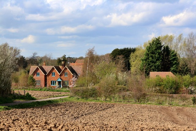
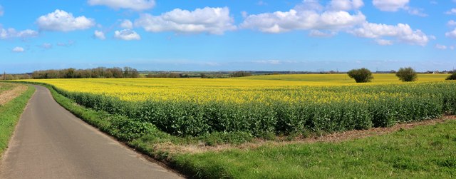
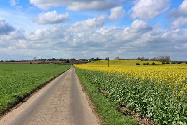
Hoath is a civil parish located in the county of Kent, England. Situated in the district of Canterbury, it covers an area of approximately 3 square miles and has a population of around 400 residents. The parish is nestled in the beautiful countryside of East Kent, surrounded by picturesque farmland and rolling hills.

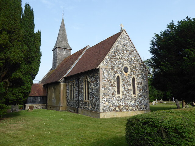
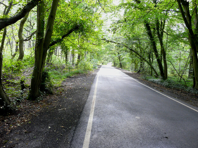
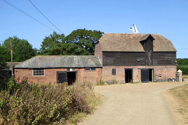
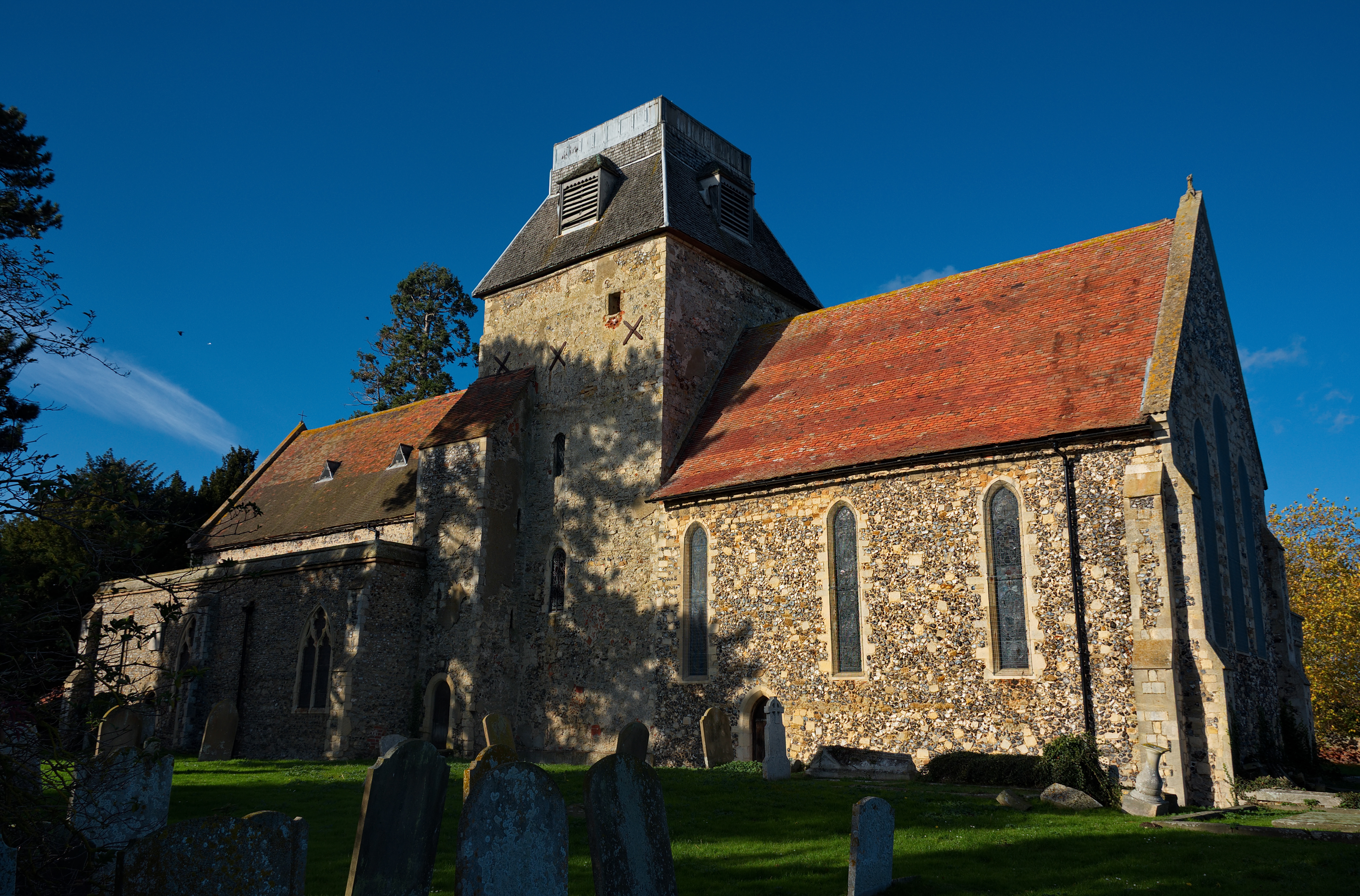
Hoath is a tranquil and idyllic village that offers a peaceful retreat from the hustle and bustle of city life. It is renowned for its stunning natural scenery, with an abundance of green spaces, meadows, and woodland areas. The village is also home to a charming 13th-century church, St. Mary’s, which is a focal point of the community.

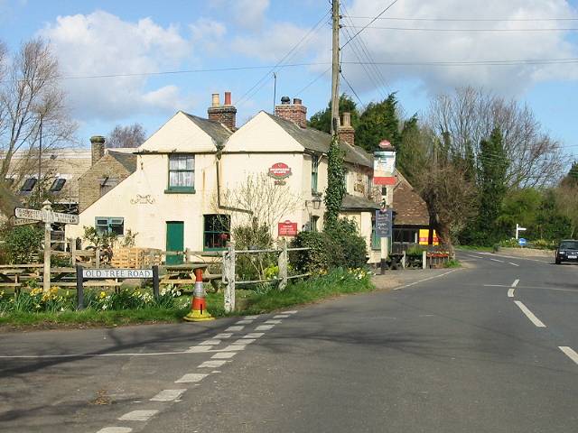
Despite its small size, Hoath has a strong sense of community spirit, with various social events and activities organized throughout the year. These include village fairs, summer festivals, and regular gatherings at the local pub. The parish benefits from excellent transport links, with easy access to major road networks, making it a convenient location for commuters.

The village is within close proximity to several larger towns, such as Canterbury and Herne Bay, offering a range of amenities and services. In addition, Hoath is located near the beautiful Kent coastline, providing residents with the opportunity to explore stunning beaches and coastal walks.

Overall, Hoath is a charming and picturesque village offering a peaceful and friendly community, surrounded by beautiful countryside and within easy reach of both urban conveniences and coastal delights.

If you have any feedback on the listing, please let us know in the comments section below.
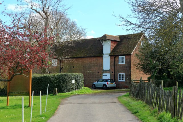
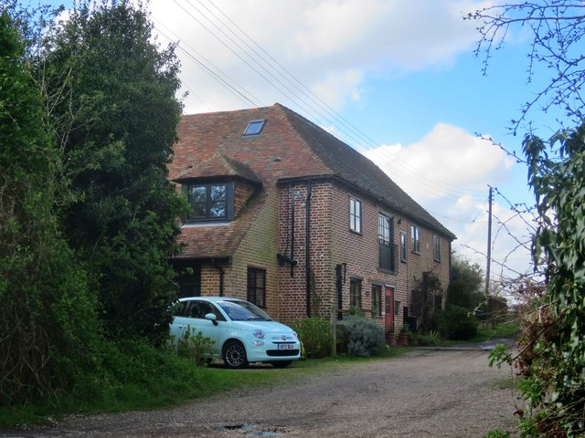
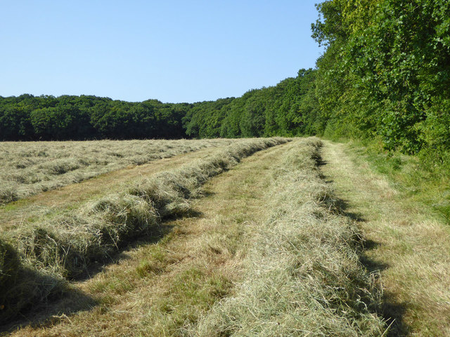
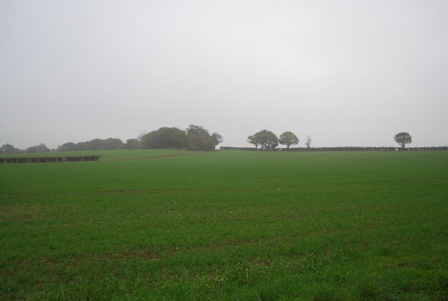
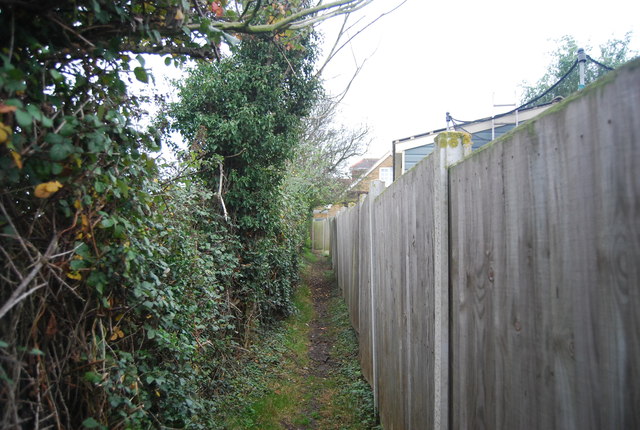
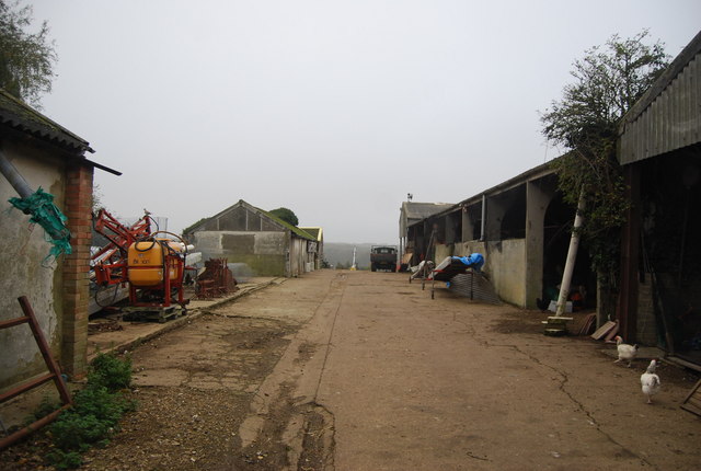
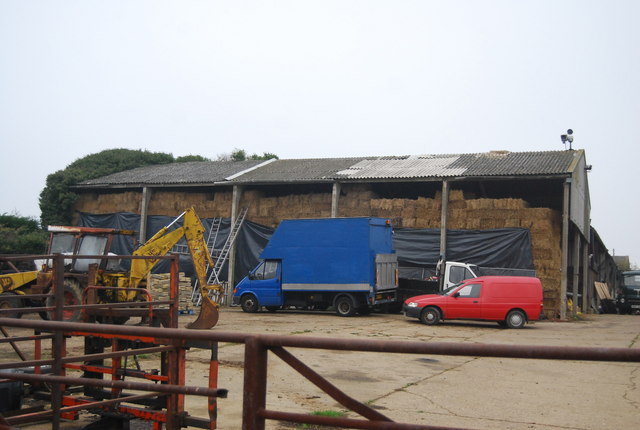
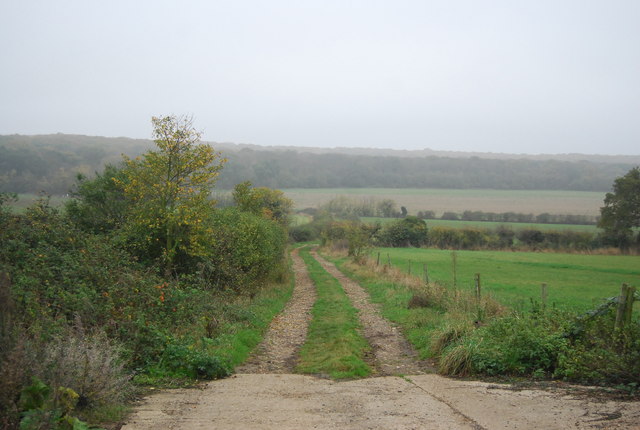
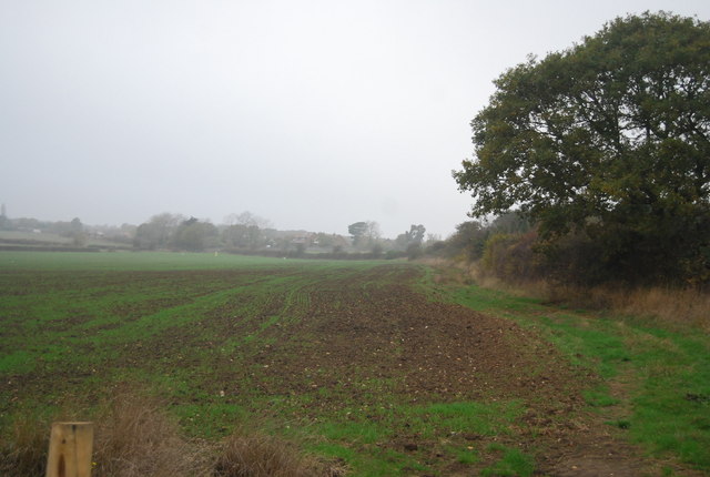
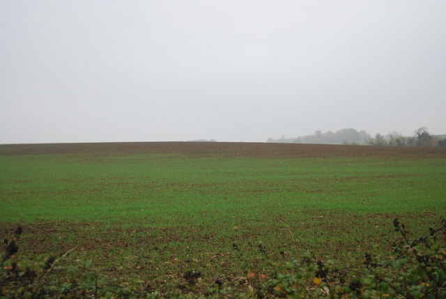
Hoath Images

Images are sourced within 2km of 51.335499/1.160915 or Grid Reference TR2064. Thanks to Geograph Open Source API. All images are credited.

Hoath, Holy Cross
Hoath, Holy Cross
Ordnance Survey Cut Mark This somewhat damaged mark can be found on the wall of Holy Cross Church in Hoath.
For more detail see : <span class="nowrap"><a title="http://www.bench-marks.org.uk/bm75222" rel="nofollow ugc noopener" href="http://www.bench-marks.org.uk/bm75222">Link</a><img style="margin-left:2px;" alt="External link" title="External link - shift click to open in new window" src="https://s1.geograph.org.uk/img/external.png" width="10" height="10"/></span>
Ordnance Survey Cut Mark
This somewhat damaged mark can be found on the wall of Holy Cross Church in Hoath. For more detail see : LinkExternal link
The Entrance Porch and Spire of Holy Cross Church in Hoath Viewed from the south. The Spire was also used as an Intersected Station by the Ordnance Survey. <span class="nowrap"><a title="http://trigpointing.uk/trig/25473" rel="nofollow ugc noopener" href="http://trigpointing.uk/trig/25473">Link</a><img style="margin-left:2px;" alt="External link" title="External link - shift click to open in new window" src="https://s1.geograph.org.uk/img/external.png" width="10" height="10"/></span>
The Entrance Porch and Spire of Holy Cross Church in Hoath
Viewed from the south. The Spire was also used as an Intersected Station by the Ordnance Survey. LinkExternal link
Oast House -
Oast House
-
Oast House -
Oast House
-
Shelvingford Cottage
Rape field by Old Tree Road
Rape field by Hollow Road
Hicks Forstal Road The rood runs through East Blean Wood, which is a National Nature Reserve.
Hicks Forstal Road
The rood runs through East Blean Wood, which is a National Nature Reserve.
Oasthouse at Buckwell Farm A grade II listed building.
Oasthouse at Buckwell Farm
A grade II listed building.
Mown hay, Hicks Forstal
Farmland, Ridgeway Farm
Path to Ridgeway Farm
Ridgeway Farm
Ridgeway Farm
Hay barn, Ridgeway Farm
Footpath to East Blean Wood
Edge of a field near Ridgeway Farm
Winter wheat, Ridgeway Farm
Show me another place!

Hoath is located at Grid Ref: TR2064 (Lat: 51.335499, Lng: 1.160915)

Administrative County: Kent

District: Canterbury

Police Authority: Kent

What 3 Words

///option.pushy.reject. Near Sturry, Kent

Related Wikis

Hoath

Hoath is a semi-rural village and civil parish in the City of Canterbury local government district. The hamlets of Knaves Ash, Maypole, Ford, Old Tree...

Maypole Airfield

Maypole Airfield (ICAO: EGHB) was a general aviation airfield located 2.5 miles (4.0 km) south of Herne Bay, Kent and 5.2 miles (8.4 km) north east of...

East Blean Woods

East Blean Woods is a 151.4-hectare (374-acre) biological Site of Special Scientific Interest south of Herne Bay in Kent. It is also a National Nature...

Ford Palace

Ford Palace was a residence of the Archbishops of Canterbury at Ford, about 6.6 miles (10.6 km) north-east of Canterbury and 2.6 miles (4.2 km) south-east...

Chislet

Chislet is an English village and civil parish in northeast Kent between Canterbury and the Isle of Thanet. The parish is the second largest in the district...

Highstead

Highstead is a village near Chislet, off the A299 road, in the Canterbury District, in the English county of Kent. It is near the town of Herne Bay. Highstead...

Boyden Gate

Boyden Gate is a village in the civil parish of Chislet in Kent, England. == External links == Media related to Boyden Gate at Wikimedia Commons

Hersden

Hersden is a village east of Canterbury in Kent, South East England. It was established as a planned coalmining village in the 1920s and is on the A28...

Related Videos

Walking with Parkinson's

Video from Vasilakis Panteli.

Chislet, Marshside, Hoath Village, Chez Laurie, a History Tour Guide Using Old Postcards Kent UK

Chislet, Marshside & Hoath Village, with a look at where the Chez Laurie was built. A walking history tour guide of Chislet, ...

Bike ride to Hoath & Herne Bay

This is another of my bike rides around north east Kent, England. It is 20 miles of a 25 mile ride from Whitstable, along part of the ...

Quinny design problem

Hand trapped in quinny push chair.

Nearby Amenities

Located within 500m of 51.335499,1.160915
Hoath
Is In: Kent,England,UK
Place: village
Wikidata: Q2592236
Lat/Long: 51.3348461/1.1629018
Post Box
Collection Times: Mo-Fr 09:00; Sa 07:00
Operator: Royal Mail
Operator Wikidata: Q638098
Post Box Mounting: metal_post
Post Box Type: lamp
Postal Code: CT3
Ref: CT3 28
Royal Cypher: EIIR
Royal Cypher Wikidata: Q33102113
Source: survey
Lat/Long: 51.3387828/1.1587364
Post Box
Collection Times: Mo-Fr 09:00; Sa 07:00
Operator: Royal Mail
Operator Wikidata: Q638098
Post Box Mounting: brick_pillar
Post Box Type: wall
Postal Code: CT3
Ref: CT3 120
Royal Cypher: GR
Royal Cypher Wikidata: Q33102273
Source: survey
Lat/Long: 51.333984/1.162214
Barrier: stile
Bicycle: no
Foot: yes
Material: wood
Stile: stepover
Lat/Long: 51.3325148/1.1588731
Rotherfield
Building: yes
Listed Status: Grade II
Source: https://britishlistedbuildings.co.uk/101356118-rotherfield-hoath
Lat/Long: 51.3336878/1.161746
Parish Notices
Information: board
Tourism: information
Lat/Long: 51.3339957/1.1621648
Information: guidepost
Tourism: information
Lat/Long: 51.3341132/1.1626761
Generator Method: photovoltaic
Generator Output Electricity: yes
Generator Source: solar
Generator Type: solar_photovoltaic_panel
Location: roof
Power: generator
Lat/Long: 51.339354/1.158902
Generator Output Electricity: yes
Generator Source: solar
Generator Type: solar_photovoltaic_panel
Location: roof
Power: generator
Lat/Long: 51.3388262/1.1578023
Generator Output Electricity: yes
Generator Solar Modules: 10
Generator Source: solar
Generator Type: solar_photovoltaic_panel
Location: roof
Power: generator
Lat/Long: 51.3330768/1.1626169
Generator Output Electricity: yes
Generator Solar Modules: 8
Generator Source: solar
Generator Type: solar_photovoltaic_panel
Location: roof
Power: generator
Lat/Long: 51.3334229/1.163718
Generator Output Electricity: yes
Generator Solar Modules: 4
Generator Source: solar
Generator Type: solar_photovoltaic_panel
Location: roof
Power: generator
Lat/Long: 51.3347866/1.1645354
Generator Output Electricity: yes
Generator Solar Modules: 6
Generator Source: solar
Generator Type: solar_photovoltaic_panel
Location: roof
Power: generator
Lat/Long: 51.3347765/1.1642557
Generator Output Electricity: yes
Generator Solar Modules: 6
Generator Source: solar
Generator Type: solar_photovoltaic_panel
Location: roof
Power: generator
Lat/Long: 51.3348687/1.1640673
Power: pole
Lat/Long: 51.3396908/1.1625291
Power: pole
Lat/Long: 51.3395157/1.1630481
Power: pole
Lat/Long: 51.3393323/1.1639044
Power: pole
Lat/Long: 51.3389167/1.1654051
Generator Output Electricity: yes
Generator Source: solar
Generator Type: solar_photovoltaic_panel
Location: roof
Power: generator
Lat/Long: 51.3343609/1.162692
Generator Output Electricity: yes
Generator Source: solar
Generator Type: solar_photovoltaic_panel
Location: roof
Power: generator
Lat/Long: 51.3343408/1.1627269
Power: pole
Lat/Long: 51.335061/1.1574027
Power: pole
Lat/Long: 51.3342826/1.1547245
Power: pole
Lat/Long: 51.3333642/1.1549793
Power: pole
Lat/Long: 51.3346688/1.1560522
Power: pole
Lat/Long: 51.3339818/1.1552046
The data included in this document is from www.openstreetmap.org. The data is made available under ODbL.

Have you been to Hoath?

Leave your review of Hoath below (or comments, questions and feedback).