Old Tree

Settlement in Kent Canterbury

England

Old Tree

Direction Sign – Signpost on Old Tree Road, Boyden Gate Located at Boyden Gate on the northwest side of the junction of Boyden Gate Hill, Old Tree Road and Church Lane in Hoath parish. 3 arms and pyramid finial. See also <a title="https://www.geograph.org.uk/photo/373289" href="https://www.geograph.org.uk/photo/373289">Link</a>.

Milestone Society National ID: KE_TR2265
Direction Sign – Signpost on Old Tree Road, Boyden Gate Credit: John V Nicholls

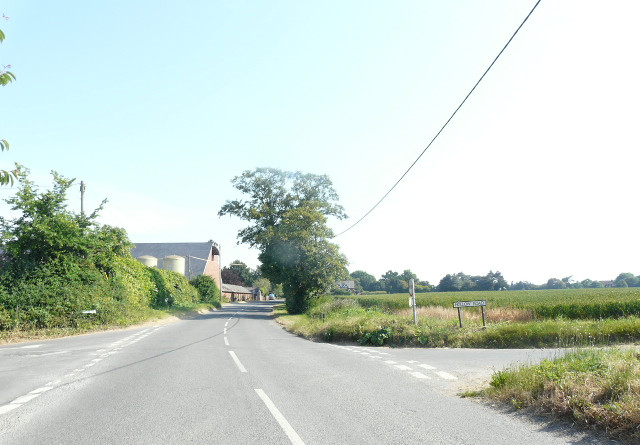
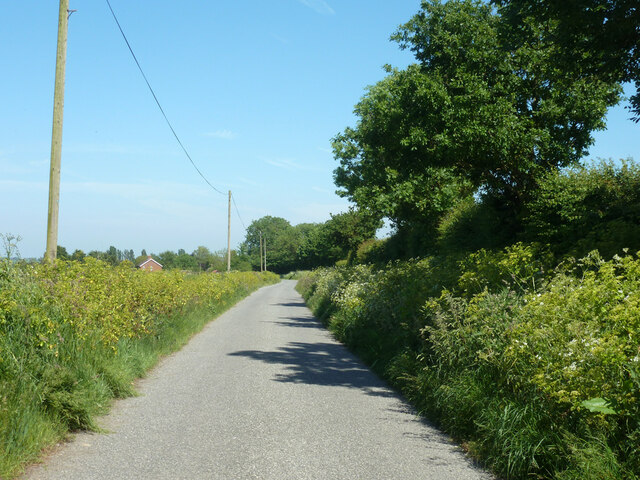
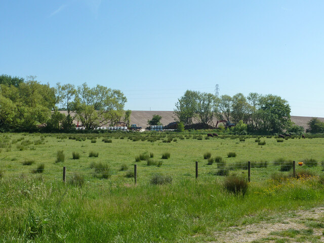
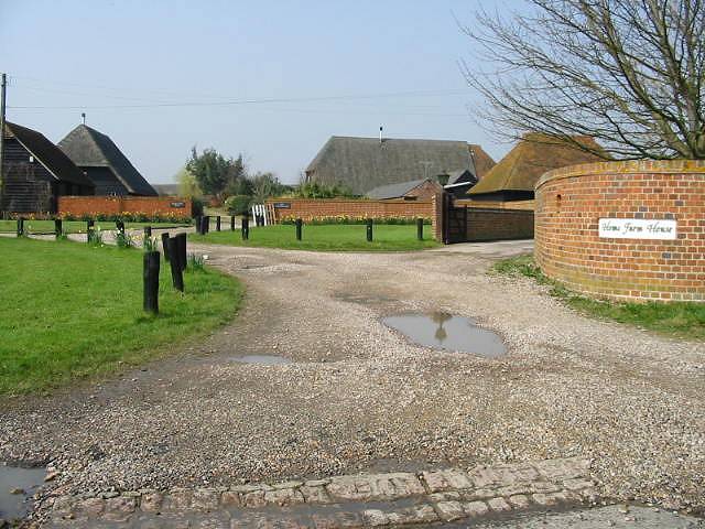
Old Tree is a small village located in the county of Kent, in southeastern England. Situated in the picturesque countryside, it is surrounded by lush green fields, rolling hills, and charming woodland areas. The village is known for its quaint and idyllic atmosphere, making it a popular destination for those seeking a peaceful retreat.

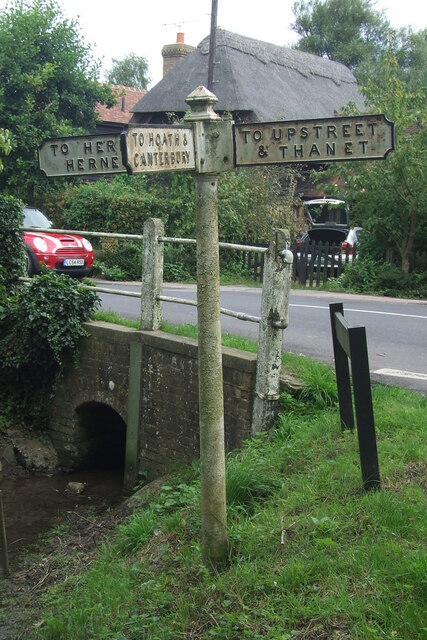
The origins of Old Tree can be traced back to medieval times, with records dating its existence to the 12th century. The village takes its name from a large, ancient oak tree that once stood at its center, serving as a meeting point for locals and a symbol of the community's heritage. Although the original tree no longer stands, its memory is preserved in the village's name.

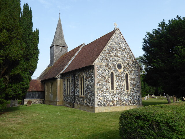
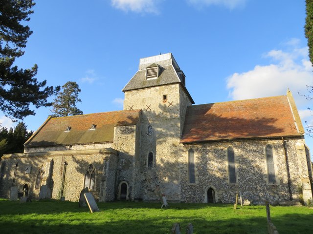
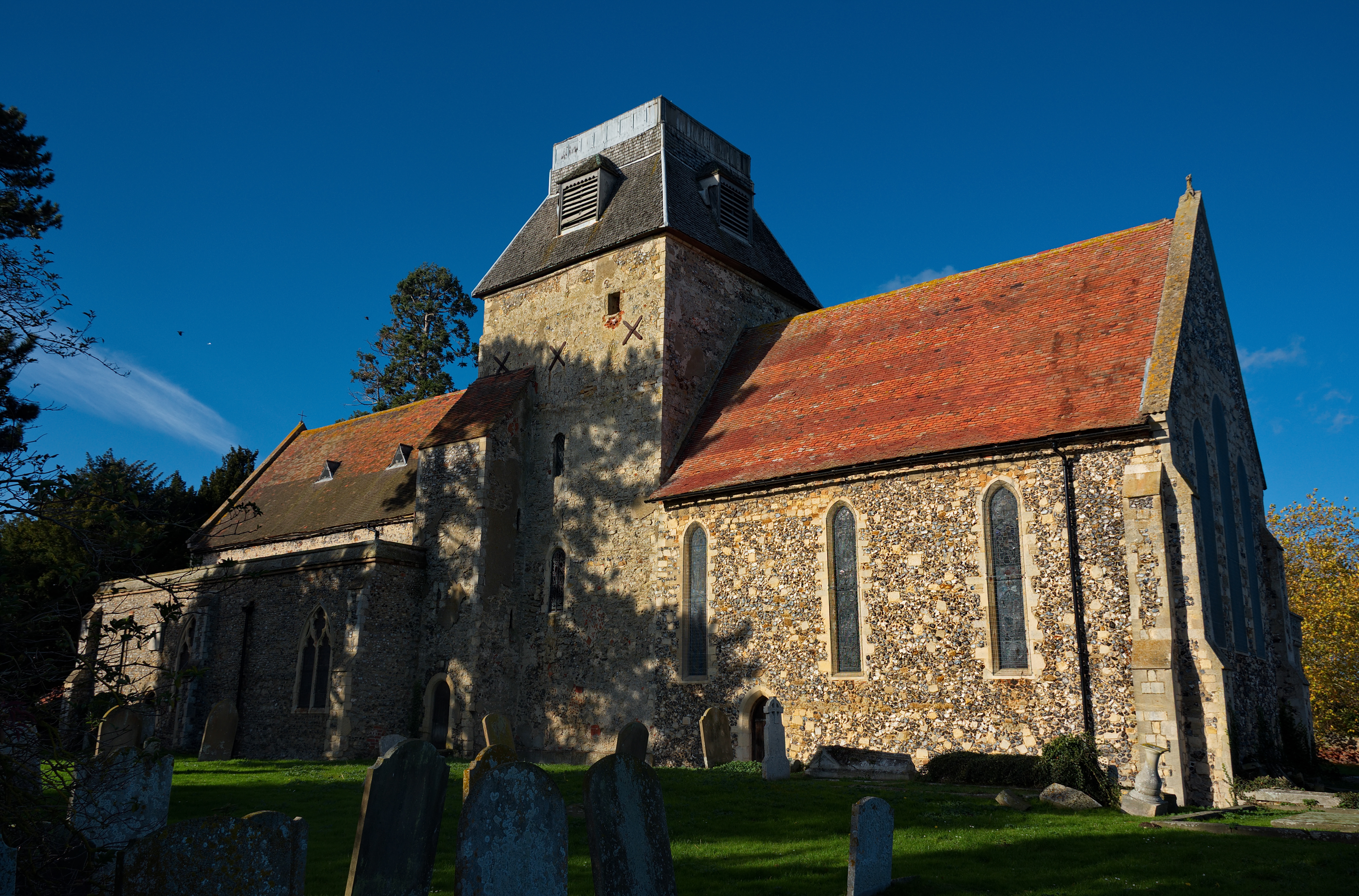
The heart of Old Tree is its village square, which features a mix of historic buildings and traditional cottages, giving it a timeless charm. There is a small parish church, St. Mary's, dating back to the 14th century, which stands as a testament to the village's long-standing religious traditions. The church's architecture showcases various styles, including Norman and Gothic influences.

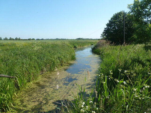
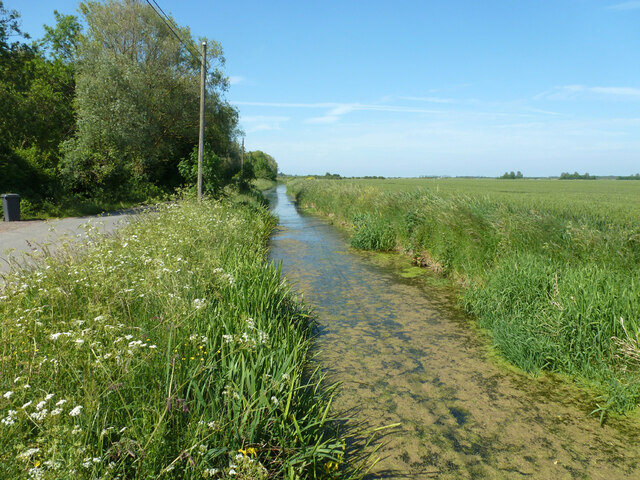
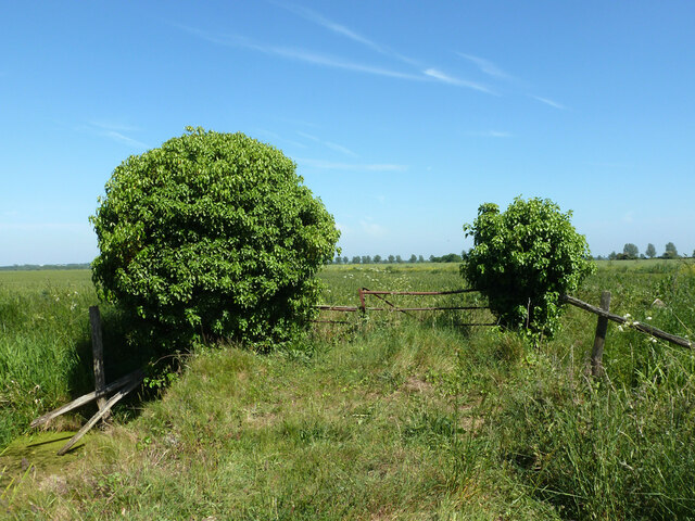
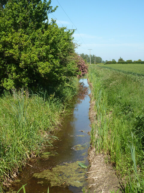
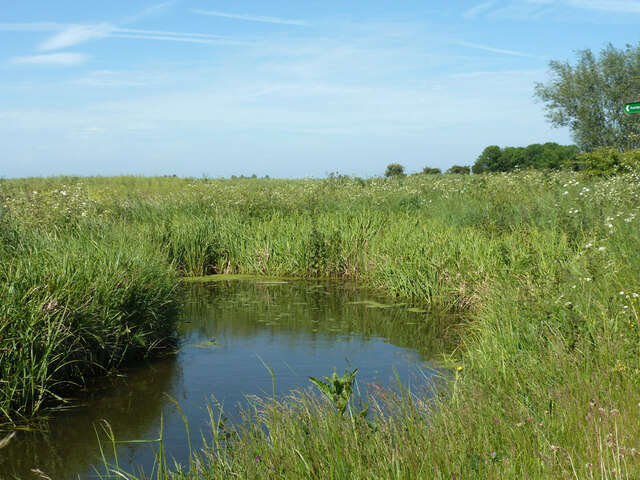
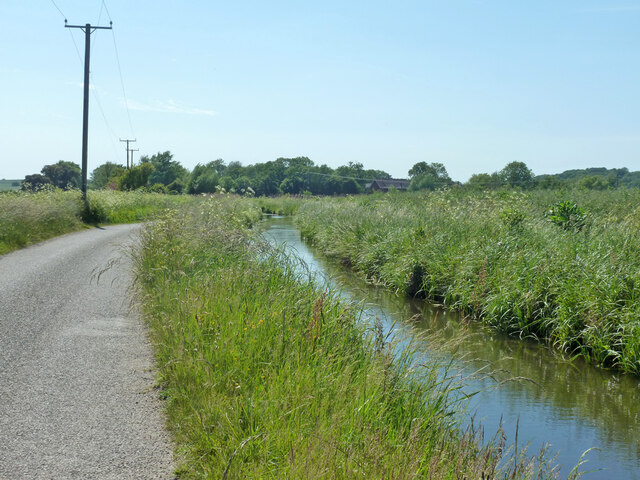
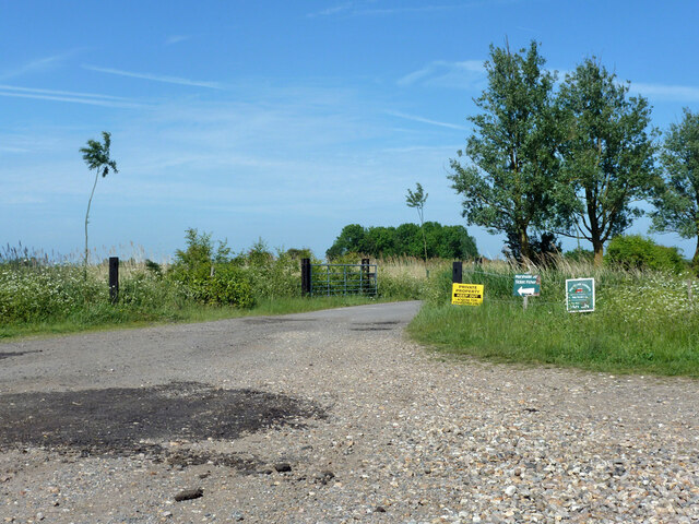
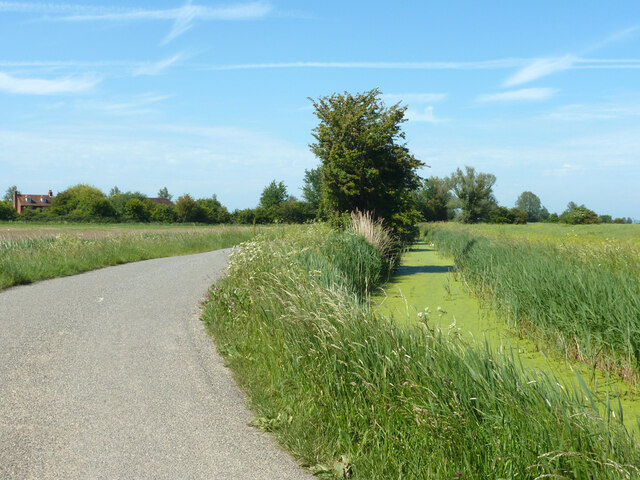
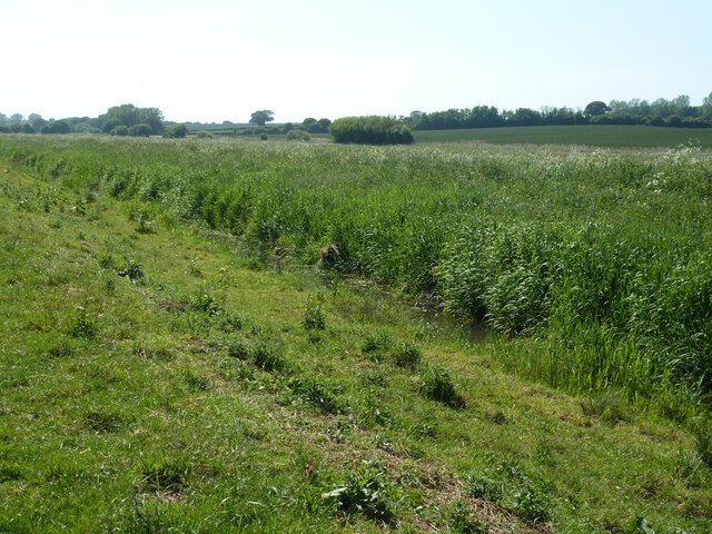
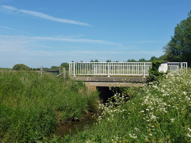
Nature lovers will find plenty to explore in and around Old Tree. The village is surrounded by stunning countryside, offering numerous walking and cycling paths that wind through fields, meadows, and woodlands. Close by is Old Tree Nature Reserve, a protected area that is home to a range of wildlife and rare plant species. Visitors can enjoy peaceful strolls, birdwatching, and picnics in this serene natural haven.

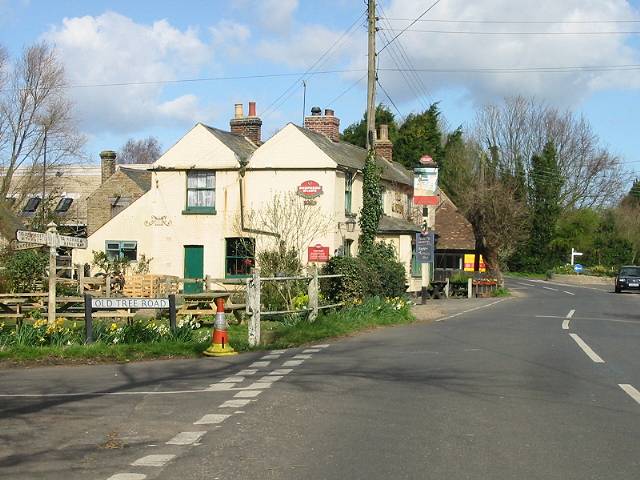
In terms of amenities, Old Tree has a small local pub, The Oak Inn, where visitors can enjoy a pint of locally brewed ale and sample traditional dishes made with fresh, regional ingredients. Additionally, the village hosts a weekly farmers' market, showcasing locally grown produce, homemade crafts, and other goods.

Overall, Old Tree is a charming and tranquil village that offers a glimpse into Kent's rich history and natural beauty. Whether it's exploring the countryside, immersing oneself in

If you have any feedback on the listing, please let us know in the comments section below.
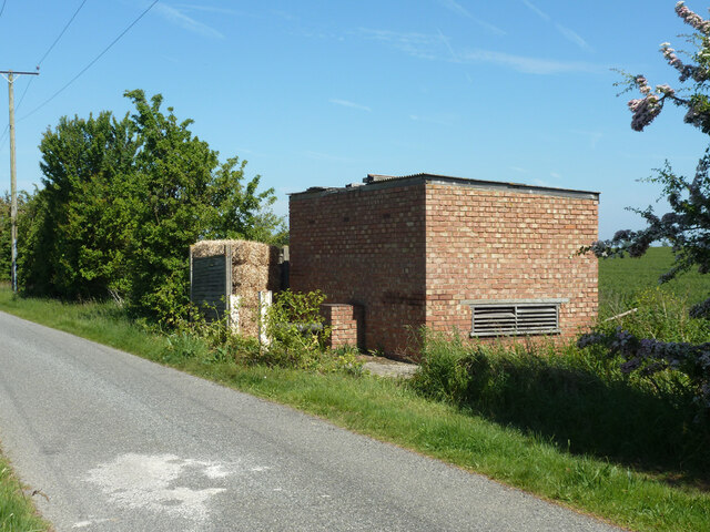
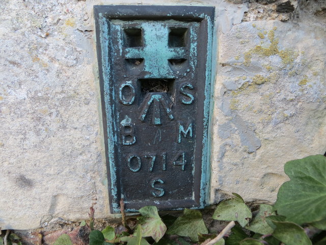
Old Tree Images

Images are sourced within 2km of 51.338389/1.170132 or Grid Reference TR2064. Thanks to Geograph Open Source API. All images are credited.

Direction Sign – Signpost on Old Tree Road, Boyden Gate Located at Boyden Gate on the northwest side of the junction of Boyden Gate Hill, Old Tree Road and Church Lane in Hoath parish. 3 arms and pyramid finial. See also <a title="https://www.geograph.org.uk/photo/373289" href="https://www.geograph.org.uk/photo/373289">Link</a>.

Milestone Society National ID: KE_TR2265
Direction Sign – Signpost on Old Tree Road, Boyden Gate
Located at Boyden Gate on the northwest side of the junction of Boyden Gate Hill, Old Tree Road and Church Lane in Hoath parish. 3 arms and pyramid finial. See also Link. Milestone Society National ID: KE_TR2265
Hoath, Holy Cross
Hoath, Holy Cross
Chislet Court Farm Viewed from Church Lane near to the junction with Hollow Road.
Chislet Court Farm
Viewed from Church Lane near to the junction with Hollow Road.
North Stream, Marshside Looking upstream, with little flow in June.
North Stream, Marshside
Looking upstream, with little flow in June.
North Stream, Marshside Looking downstream, with little flow in June.
North Stream, Marshside
Looking downstream, with little flow in June.
Bridge over North Stream, Marshside Apparently disused for field access.
Bridge over North Stream, Marshside
Apparently disused for field access.
Drain by Chitty Lane The lane is to the left.
Drain by Chitty Lane
The lane is to the left.
Pump house by Chitty Lane Later demolished.  There is a pipe passing under the lane to the drain on the other side.  It looks a bit home-made, not a drainage authority feature.  It was replaced by a modern trailed irrigation pump.
Pump house by Chitty Lane
Later demolished. There is a pipe passing under the lane to the drain on the other side. It looks a bit home-made, not a drainage authority feature. It was replaced by a modern trailed irrigation pump.
Drain by Chitty Lane
Start of Tipper Drove A private road off Chitty Lane, the way to Marshside Fishery.
Start of Tipper Drove
A private road off Chitty Lane, the way to Marshside Fishery.
Drain by Chitty Lane
Chitty Lane, Chislet Towards Chitty.
Chitty Lane, Chislet
Towards Chitty.
Nethergong Penn A rather overgrown but important drainage channel.
Nethergong Penn
A rather overgrown but important drainage channel.
Bridge over Nethergong Penn The road crossing is Nethergong Hill, at least to the right. It becomes Sandpit Hill somewhere to the left.
Bridge over Nethergong Penn
The road crossing is Nethergong Hill, at least to the right. It becomes Sandpit Hill somewhere to the left.
Bagged firewood site near Nethergong Farm A deduction from the stacks of timber and a great many white bags.
Bagged firewood site near Nethergong Farm
A deduction from the stacks of timber and a great many white bags.
Ordnance Survey Flush Bracket S0714 This can be found on the wall of St Mary the Virgin Church in Chislet.
For more detail see : <span class="nowrap"><a title="http://www.bench-marks.org.uk/bm20538" rel="nofollow ugc noopener" href="http://www.bench-marks.org.uk/bm20538">Link</a><img style="margin-left:2px;" alt="External link" title="External link - shift click to open in new window" src="https://s1.geograph.org.uk/img/external.png" width="10" height="10"/></span>
Ordnance Survey Flush Bracket S0714
This can be found on the wall of St Mary the Virgin Church in Chislet. For more detail see : LinkExternal link
The Church of St Mary the Virgin at Chislet Viewed from the south.
The Church of St Mary the Virgin at Chislet
Viewed from the south.
Show me another place!

Old Tree is located at Grid Ref: TR2064 (Lat: 51.338389, Lng: 1.170132)

Administrative County: Kent

District: Canterbury

Police Authority: Kent

What 3 Words

///edgy.heat.prank. Near Herne Bay, Kent

Related Wikis

Hoath

Hoath is a semi-rural village and civil parish in the City of Canterbury local government district. The hamlets of Knaves Ash, Maypole, Ford, Old Tree...

Maypole Airfield

Maypole Airfield (ICAO: EGHB) was a general aviation airfield located 2.5 miles (4.0 km) south of Herne Bay, Kent and 5.2 miles (8.4 km) north east of...

Ford Palace

Ford Palace was a residence of the Archbishops of Canterbury at Ford, about 6.6 miles (10.6 km) north-east of Canterbury and 2.6 miles (4.2 km) south-east...

Chislet

Chislet is an English village and civil parish in northeast Kent between Canterbury and the Isle of Thanet. The parish is the second largest in the district...

Boyden Gate

Boyden Gate is a village in the civil parish of Chislet in Kent, England. == External links == Media related to Boyden Gate at Wikimedia Commons

Highstead

Highstead is a village near Chislet, off the A299 road, in the Canterbury District, in the English county of Kent. It is near the town of Herne Bay. Highstead...

East Blean Woods

East Blean Woods is a 151.4-hectare (374-acre) biological Site of Special Scientific Interest south of Herne Bay in Kent. It is also a National Nature...

Marshside, Kent

Marshside is a hamlet in the county of Kent, England. It is in the parish of Chislet alongside the Chislet Marshes southeast of Herne Bay. == Governance... ==

Nearby Amenities

Located within 500m of 51.338389,1.170132
Generator Output Electricity: yes
Generator Source: solar
Generator Type: solar_photovoltaic_panel
Location: roof
Power: generator
Lat/Long: 51.339225/1.1694941
Power: pole
Lat/Long: 51.3393323/1.1639044
Power: pole
Lat/Long: 51.3389167/1.1654051
Power: pole
Lat/Long: 51.3385037/1.1669138
Power: pole
Lat/Long: 51.3347292/1.1731352
Power: pole
Lat/Long: 51.3347744/1.1716023
Power: pole
Lat/Long: 51.3348247/1.1701968
Power: pole
Lat/Long: 51.334862/1.1688309
Power: pole
Lat/Long: 51.3358435/1.1690569
Power: pole
Lat/Long: 51.3367903/1.1692514
Power: pole
Lat/Long: 51.3381593/1.1680725
The data included in this document is from www.openstreetmap.org. The data is made available under ODbL.

Have you been to Old Tree?

Leave your review of Old Tree below (or comments, questions and feedback).